Woodbury is the county seat of Gloucester County in the U.S. state of New Jersey. The city, and all of Gloucester County, is part South Jersey and of the Philadelphia–Wilmington–Camden, PA-NJ-DE–MD combined statistical area, also known as the Delaware Valley or Philadelphia metropolitan area. As of the 2020 United States census, the city’s population was 9,963, a decrease of 211 (−2.1%) from the 2010 census count of 10,174, which in turn reflected a decline of 133 (−1.3%) from the 10,307 in the 2000 census.
Woodbury was originally formed as a borough on March 27, 1854, within Deptford Township based on the results of a March 22, 1854, referendum. On January 2, 1871, Woodbury was reincorporated as a city based on the results of a referendum held that day.
Inspira Health Network is based in Woodbury. The now-defunct Woodbury Country Club operated in Woodbury from 1897 to 2010, closing due to declining membership and mounting debt that led to its 2013 bankruptcy filing.
The city had the 14th-highest property tax rate in New Jersey with an equalized rate of 4.582% as of 2020 compared to 3.212% in the county as a whole and a statewide average of 2.279%.
| Name: | Woodbury city |
|---|---|
| LSAD Code: | 25 |
| LSAD Description: | city (suffix) |
| State: | New Jersey |
| County: | Gloucester County |
| Founded: | 1683 |
| Incorporated: | March 27, 1854 |
| Elevation: | 52 ft (16 m) |
| Total Area: | 2.10 sq mi (5.45 km²) |
| Land Area: | 2.02 sq mi (5.23 km²) |
| Water Area: | 0.08 sq mi (0.22 km²) 3.95% |
| Total Population: | 9,963 |
| Population Density: | 4,932.2/sq mi (1,904.3/km²) |
| Area code: | 856 |
| FIPS code: | 3482120 |
| GNISfeature ID: | 0885447 |
| Website: | www.woodbury.nj.us |
Online Interactive Map
Click on ![]() to view map in "full screen" mode.
to view map in "full screen" mode.
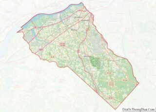
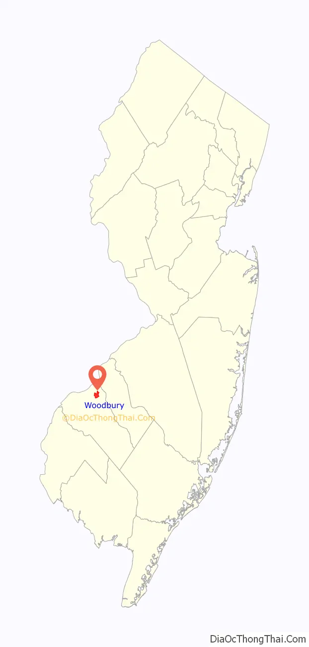
Woodbury location map. Where is Woodbury city?

History
As recounted by historian William McMahon, the Native Americans called the place where the city of Woodbury is now located “Piscozackasing”, or “place of the black burrs”.
Woodbury was founded in 1683 by Henry Wood, a Quaker from North West England who left Great Britain due to religious persecution. Wood was incarcerated in Lancaster for practicing as a Quaker and left his home in Tottington near Bury, Lancashire in a boat to set up a community in the new world where he and his family could practice his religion freely. His surname and hometown inspired naming the city that he founded Woodbury.
In 2000, Bury, England, and Woodbury were twinned as part of millennium celebrations in both countries. The twinning ceremony was the culmination of a week where more than 300 school children and college students, local dignitaries, and local residents from Bury took part in sporting and cultural events held in and around Woodbury. During the week, there was a symbolic meeting and reconciliation of the Vicar of Henry Wood’s former church in Tottington and the Quaker meeting house in Woodbury and an ecumenical service attended by many of the residents and visitors.
Paleontological discovery
In 1787, a fossil bone recovered in Woodbury from local Cretaceous strata was discussed by the American Philosophical Society in Philadelphia. The remains were only retrospectively identified as dinosaurian, as dinosaurs would not be scientifically recognized as a distinct group of reptiles until August 1841.
Recycling
Woodbury was the first city in the United States to mandate recycling. This effort was led by then-councilman and later mayor Donald P. Sanderson in the 1970s, and an ordinance was finally passed in December 1980. The idea of towing a recycling trailer behind a trash collection vehicle to enable the collection of trash and recyclable material at the same time emerged. Sanderson was asked to speak in municipalities throughout the country and other towns and cities soon followed suit.
Historic district
There are numerous contributing properties to the Broad Street Historic District encompassing Broad Street (located between Woodbury Creek and Courtland Street) Highland Mills,and Delaware Street (located between Broad and Wood streets) including the Gloucester County Courthouse, which was placed on the New Jersey Register of Historic Places (#1429) in 1988.
Woodbury Road Map
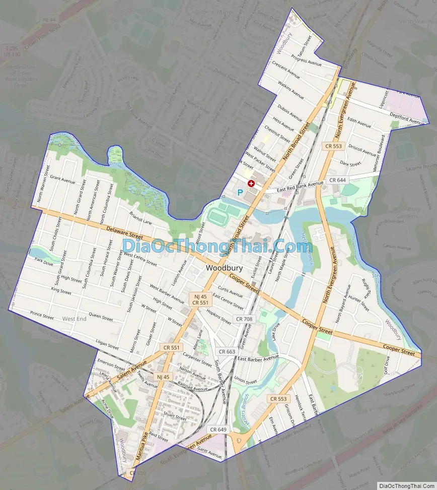
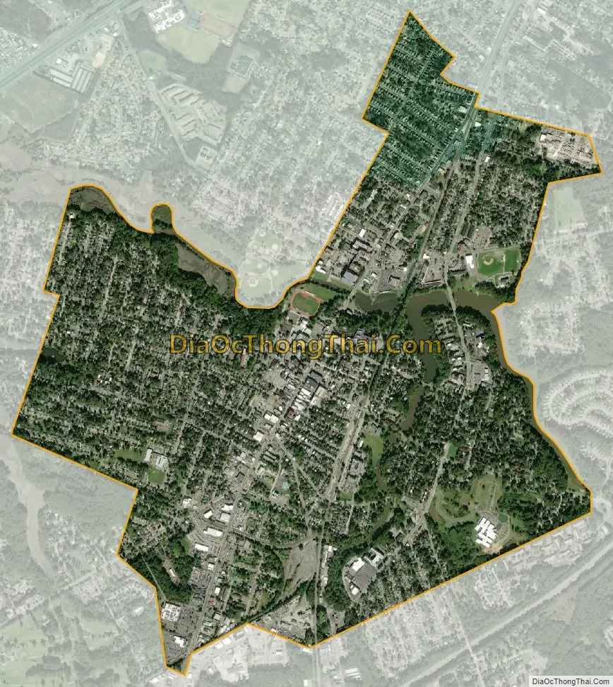
Woodbury city Satellite Map
Geography
According to the U.S. Census Bureau, the city had a total area of 2.10 square miles (5.45 km), including 2.02 square miles (5.23 km) of land and 0.08 square miles (0.22 km) of water (3.95%).
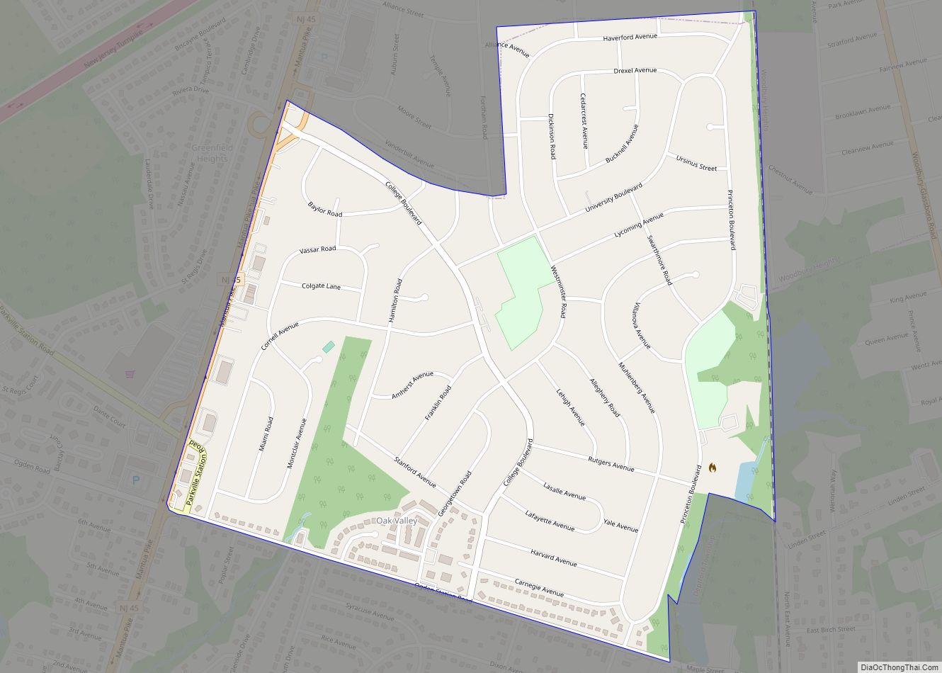
The city borders Deptford Township, West Deptford Township, and Woodbury Heights.
Climate
Woodbury has a humid subtropical climate (Köppen climate classification Cfa) typical of New Jersey with warm summers and cold winters.
See also
Map of New Jersey State and its subdivision: Map of other states:- Alabama
- Alaska
- Arizona
- Arkansas
- California
- Colorado
- Connecticut
- Delaware
- District of Columbia
- Florida
- Georgia
- Hawaii
- Idaho
- Illinois
- Indiana
- Iowa
- Kansas
- Kentucky
- Louisiana
- Maine
- Maryland
- Massachusetts
- Michigan
- Minnesota
- Mississippi
- Missouri
- Montana
- Nebraska
- Nevada
- New Hampshire
- New Jersey
- New Mexico
- New York
- North Carolina
- North Dakota
- Ohio
- Oklahoma
- Oregon
- Pennsylvania
- Rhode Island
- South Carolina
- South Dakota
- Tennessee
- Texas
- Utah
- Vermont
- Virginia
- Washington
- West Virginia
- Wisconsin
- Wyoming