Capitan is a village in Lincoln County, New Mexico, United States, located north of the Lincoln National Forest between the Capitan and Sacramento Mountains at an elevation of 6,350 feet (1,950 m). The population was 1,489 at the 2010 census. Capitan was founded in the 1890s and incorporated in 1941.
| Name: | Capitan village |
|---|---|
| LSAD Code: | 47 |
| LSAD Description: | village (suffix) |
| State: | New Mexico |
| County: | Lincoln County |
| Elevation: | 6,350 ft (1,950 m) |
| Total Area: | 3.26 sq mi (8.44 km²) |
| Land Area: | 3.26 sq mi (8.44 km²) |
| Water Area: | 0.00 sq mi (0.00 km²) |
| Total Population: | 1,391 |
| Population Density: | 426.82/sq mi (164.78/km²) |
| ZIP code: | 88316 |
| Area code: | 575 |
| FIPS code: | 3511800 |
| GNISfeature ID: | 0923574 |
| Website: | villageofcapitan.org |
Online Interactive Map
Click on ![]() to view map in "full screen" mode.
to view map in "full screen" mode.
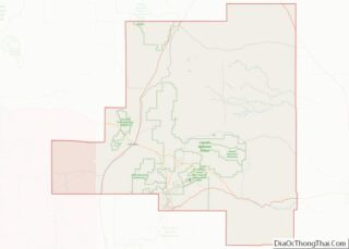
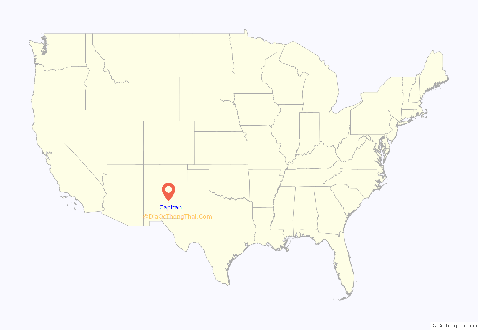
Capitan location map. Where is Capitan village?

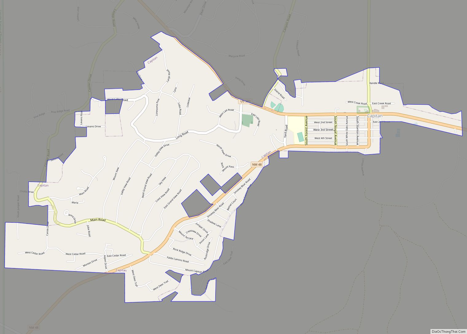
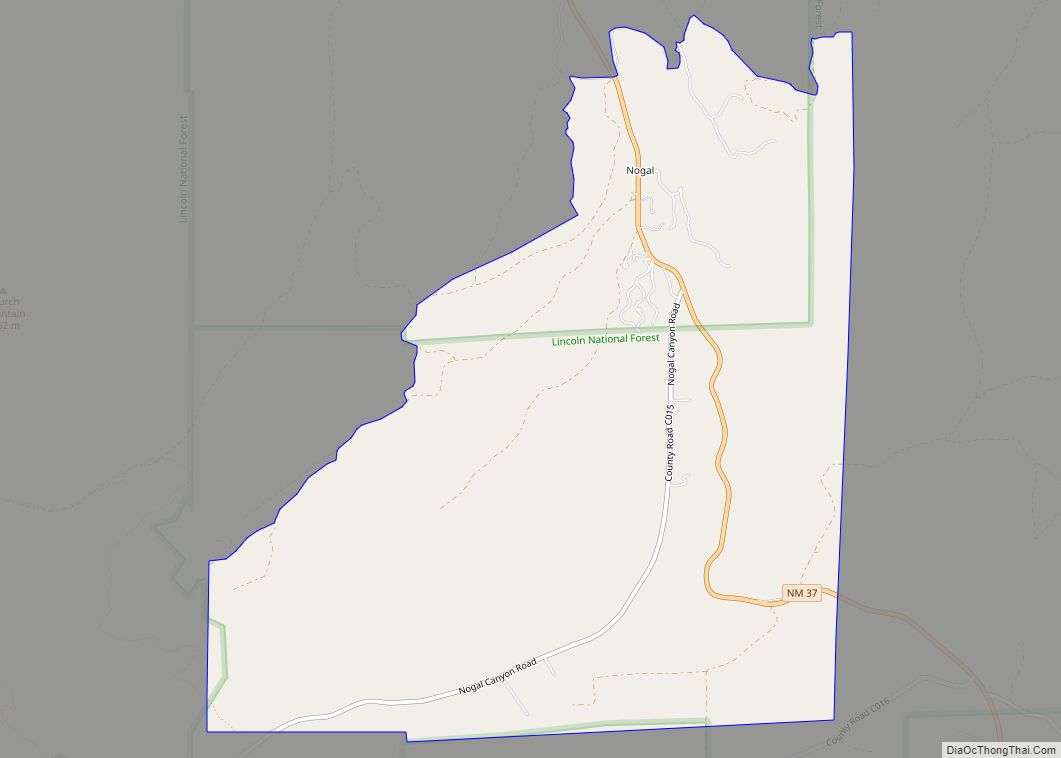
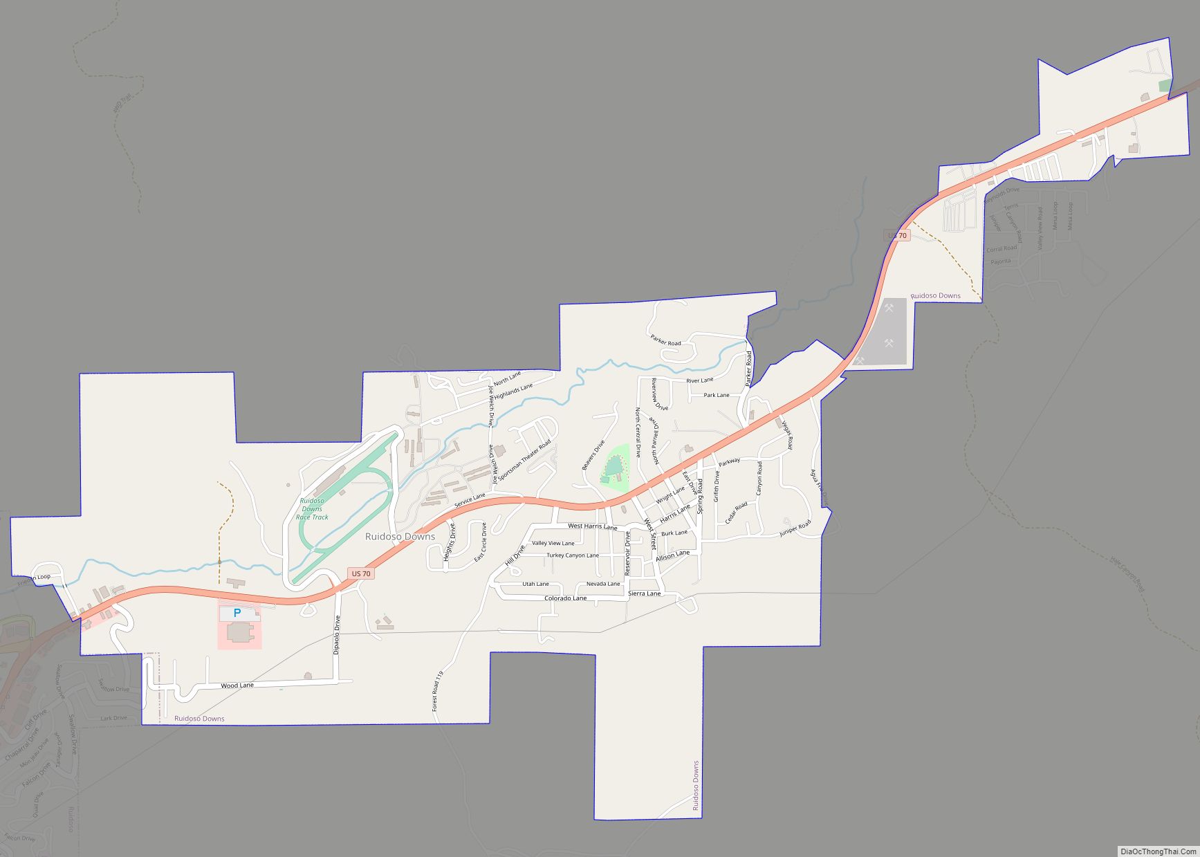
Capitan Road Map

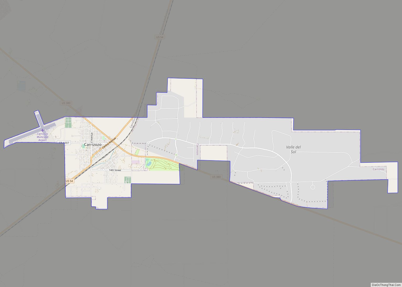
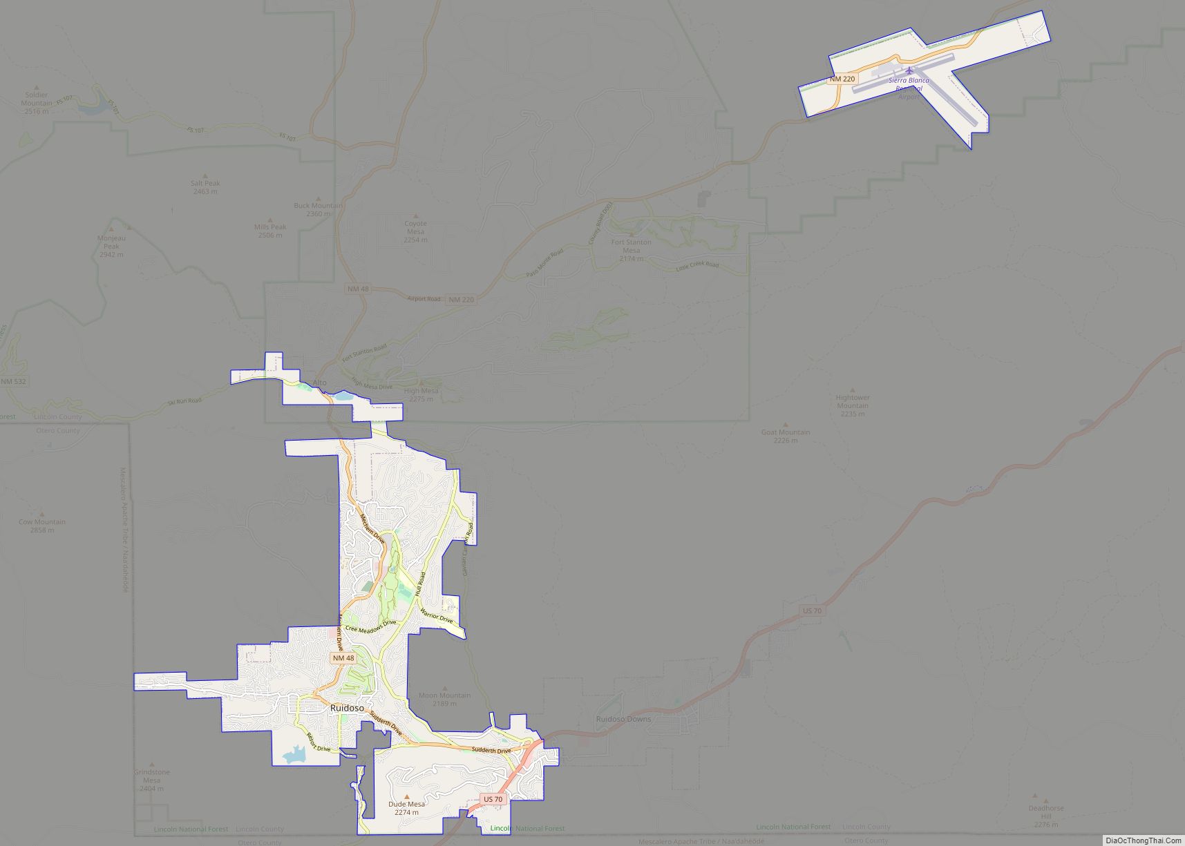
Capitan city Satellite Map
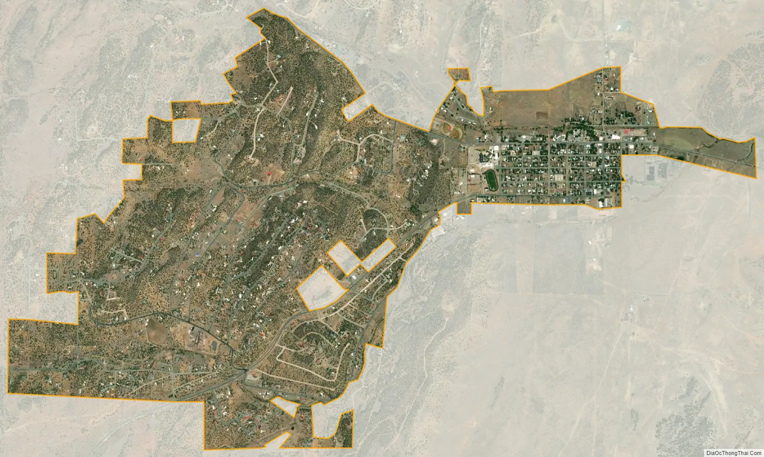
Geography
According to the United States Census Bureau, Capitan has a total area of 3.2 square miles (8.3 km), all land. The community is surrounded by high desert mountains and New Mexico cedar, pinon and juniper trees.
Climate
See also
Map of New Mexico State and its subdivision: Map of other states:- Alabama
- Alaska
- Arizona
- Arkansas
- California
- Colorado
- Connecticut
- Delaware
- District of Columbia
- Florida
- Georgia
- Hawaii
- Idaho
- Illinois
- Indiana
- Iowa
- Kansas
- Kentucky
- Louisiana
- Maine
- Maryland
- Massachusetts
- Michigan
- Minnesota
- Mississippi
- Missouri
- Montana
- Nebraska
- Nevada
- New Hampshire
- New Jersey
- New Mexico
- New York
- North Carolina
- North Dakota
- Ohio
- Oklahoma
- Oregon
- Pennsylvania
- Rhode Island
- South Carolina
- South Dakota
- Tennessee
- Texas
- Utah
- Vermont
- Virginia
- Washington
- West Virginia
- Wisconsin
- Wyoming