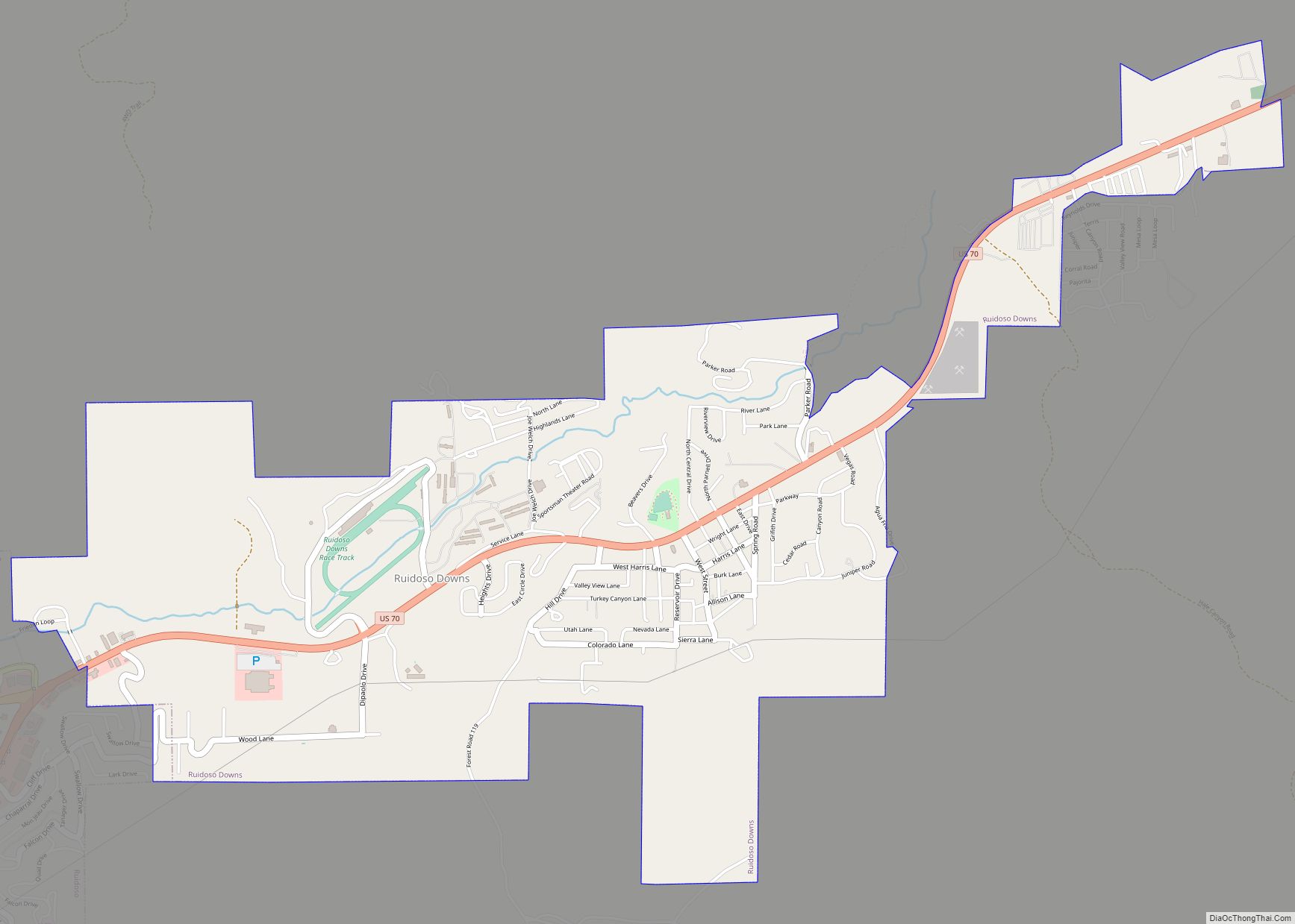
Ruidoso Downs is a city in Lincoln County, New Mexico, United States, located within the Lincoln National Forest. The population was 1,824 at the 2000 census and 2,815 at the 2010 census. Originally incorporated as a village, it became a city in May 2002. Known locally as “the Downs”, Ruidoso Downs is a suburb of adjacent Ruidoso and is a part of the Ruidoso Micropolitan Statistical Area. The city, located along U.S. Route 70, is named after the Ruidoso Downs Race Track, which is located in the city along with the Billy the Kid Casino and the Hubbard Museum of the American West.
| Name: | Ruidoso Downs city |
|---|---|
| LSAD Code: | 25 |
| LSAD Description: | city (suffix) |
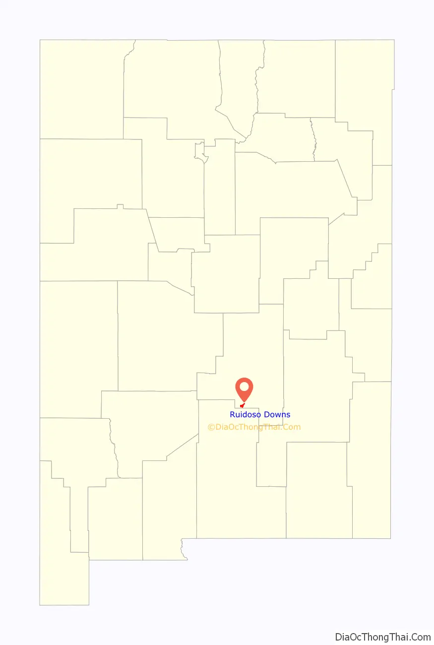
| State: | New Mexico |
| County: | Lincoln County |
| Elevation: | 6,417 ft (1,956 m) |
| Total Area: | 3.79 sq mi (9.82 km²) |
| Land Area: | 3.79 sq mi (9.82 km²) |
| Water Area: | 0.00 sq mi (0.00 km²) |
| Total Population: | 2,620 |
| Population Density: | 691.29/sq mi (266.93/km²) |
| ZIP code: | 88346 |
| Area code: | 575 |
| FIPS code: | 3565280 |
| GNISfeature ID: | 0923669 |
| Website: | ruidosodowns.us |
Online Interactive Map
Click on ![]() to view map in "full screen" mode.
to view map in "full screen" mode.
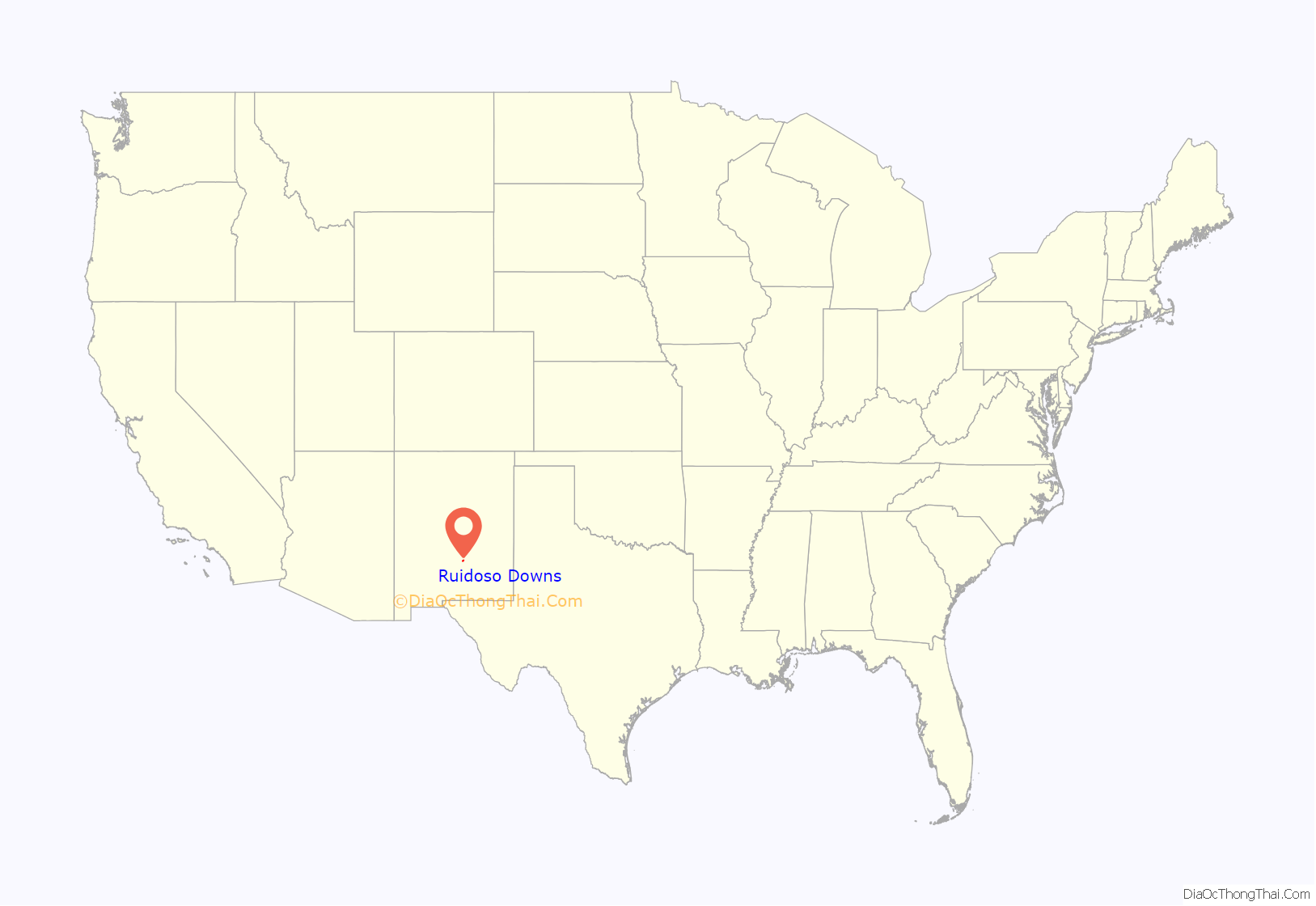
Ruidoso Downs location map. Where is Ruidoso Downs city?
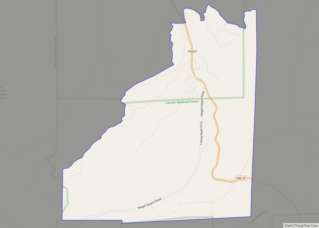
History
According to a local Ruidoso Downs historian, early on Hispanos settlers called the area “San Juanito”. The settlers began arriving in the early in the late 1840s, and introduced rodeo and horse racing to the area. Originally the area had scattered farms and ranches, with the Dowlin Mill constructed in 1868. A new wave of families arrived after the Lincoln County War.
By around 1907 the road between Roswell and Alamogordo, which passed through the area, was still primitive, though it was improved in the 1920s through the Federal Aid Project. The road that would become US 70 was paved in the area around 1945, and then improved again in 1958. The road became four lanes in 1981.
In 1946 the Ruidoso News was founded and the airport opened, and two years later radio arrived. Electric lights appeared in the area in 1947. The White Mountain Inn opened in the 1940s as a sanatorium and as a lodging establishment.
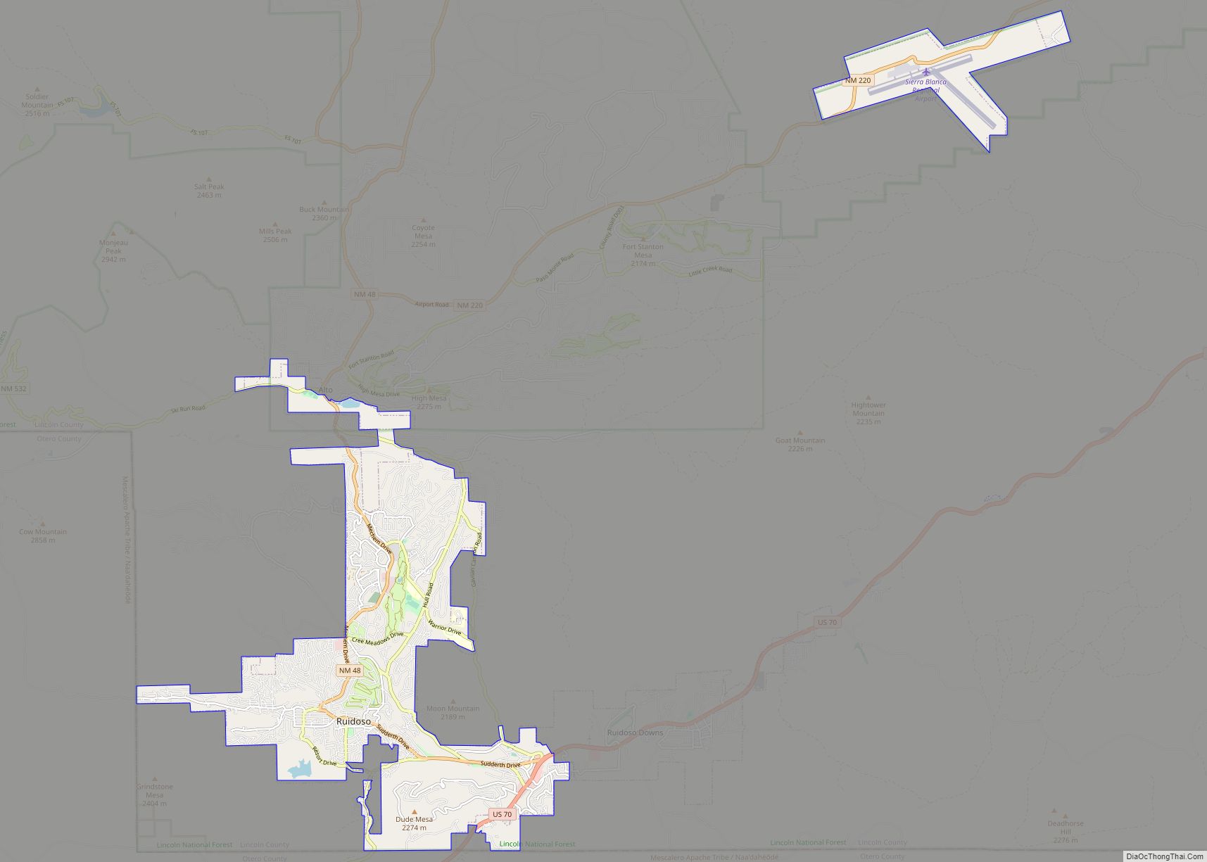
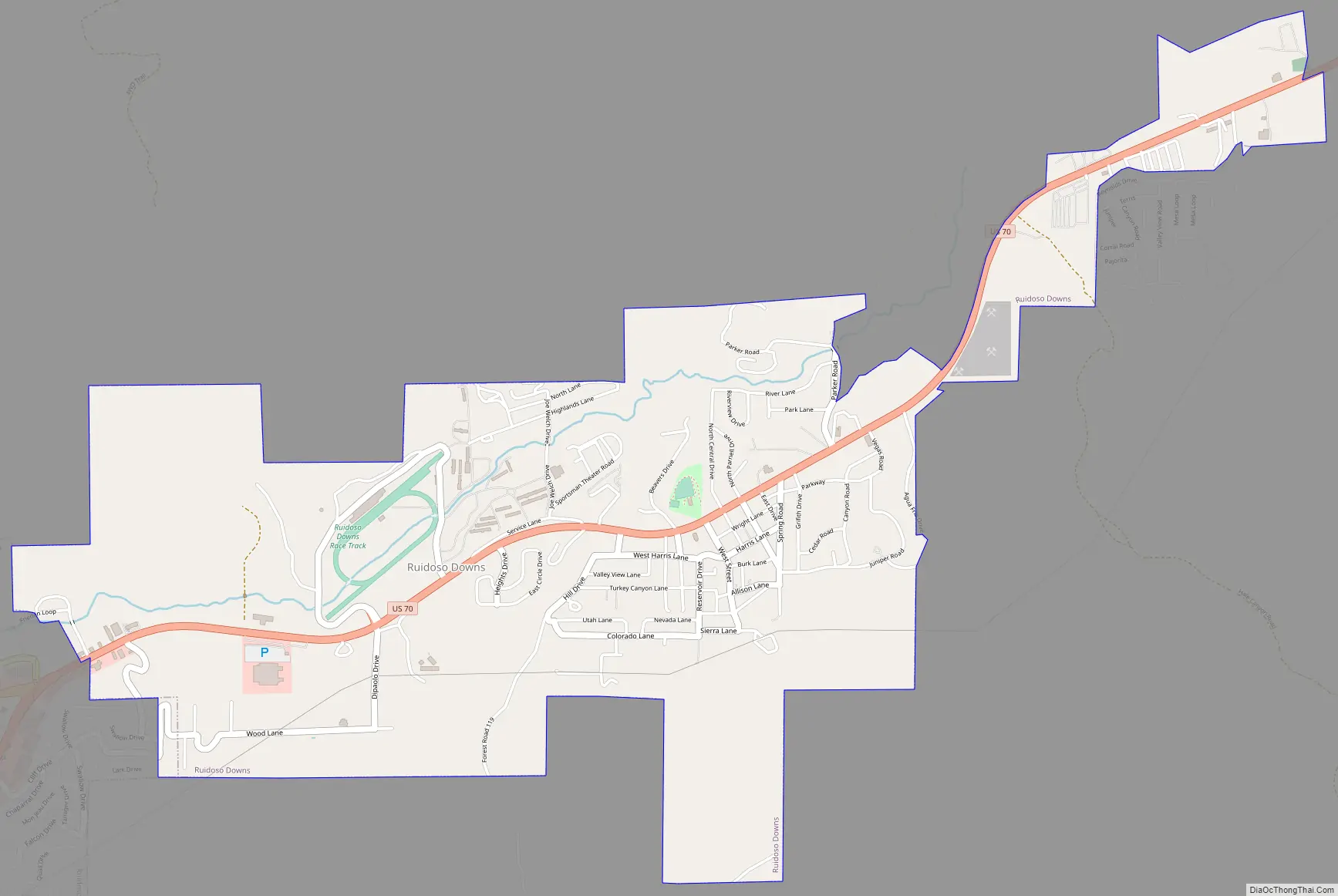
Ruidoso Downs Road Map
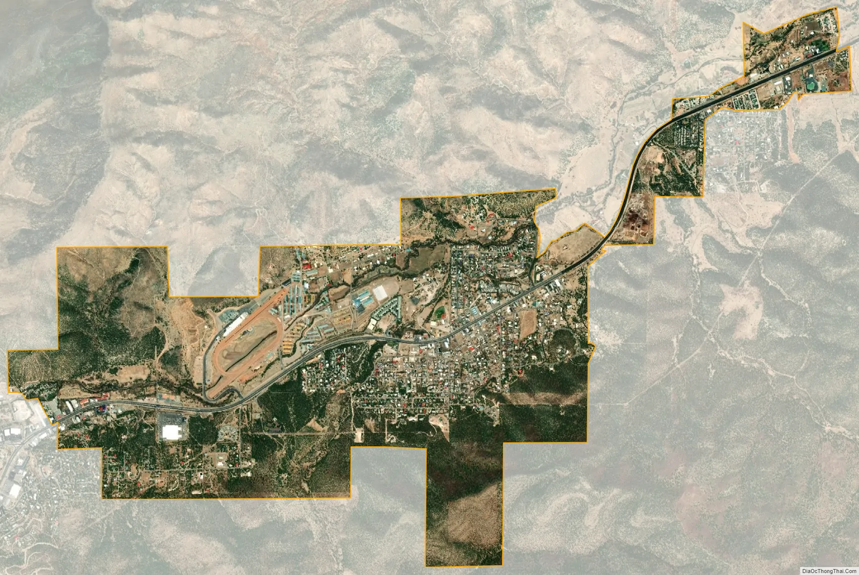
Ruidoso Downs city Satellite Map
Geography
Ruidoso Downs is located in southern Lincoln County at 33°19′54″N 105°35′46″W / 33.33167°N 105.59611°W / 33.33167; -105.59611 (33.331690, -105.596079). It is bordered to the west by Ruidoso. Elevation is 6,420 feet (1,960 m).
U.S. Route 70 passes through the city, leading east 69 miles (111 km) to Roswell and southwest over Apache Summit 34 miles (55 km) to Tularosa. New Mexico State Road 48 departs US 70 just west of the city limits, leading north 22 miles (35 km) to Capitan.
According to the United States Census Bureau, the city has an area of 3.8 square miles (9.8 km), all of it recorded as land. The city is in the valley of the Rio Ruidoso, which rises to the west on Sierra Blanca Peak and flows east to form the Rio Hondo.
See also
Map of New Mexico State and its subdivision: Map of other states:- Alabama
- Alaska
- Arizona
- Arkansas
- California
- Colorado
- Connecticut
- Delaware
- District of Columbia
- Florida
- Georgia
- Hawaii
- Idaho
- Illinois
- Indiana
- Iowa
- Kansas
- Kentucky
- Louisiana
- Maine
- Maryland
- Massachusetts
- Michigan
- Minnesota
- Mississippi
- Missouri
- Montana
- Nebraska
- Nevada
- New Hampshire
- New Jersey
- New Mexico
- New York
- North Carolina
- North Dakota
- Ohio
- Oklahoma
- Oregon
- Pennsylvania
- Rhode Island
- South Carolina
- South Dakota
- Tennessee
- Texas
- Utah
- Vermont
- Virginia
- Washington
- West Virginia
- Wisconsin
- Wyoming