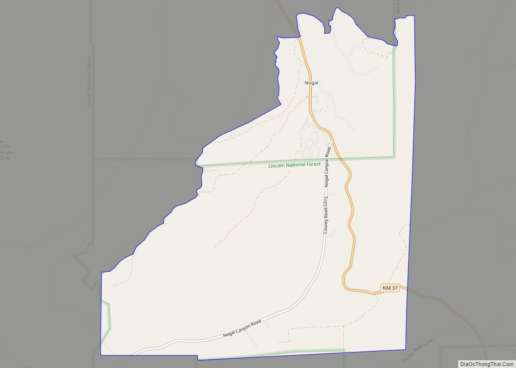
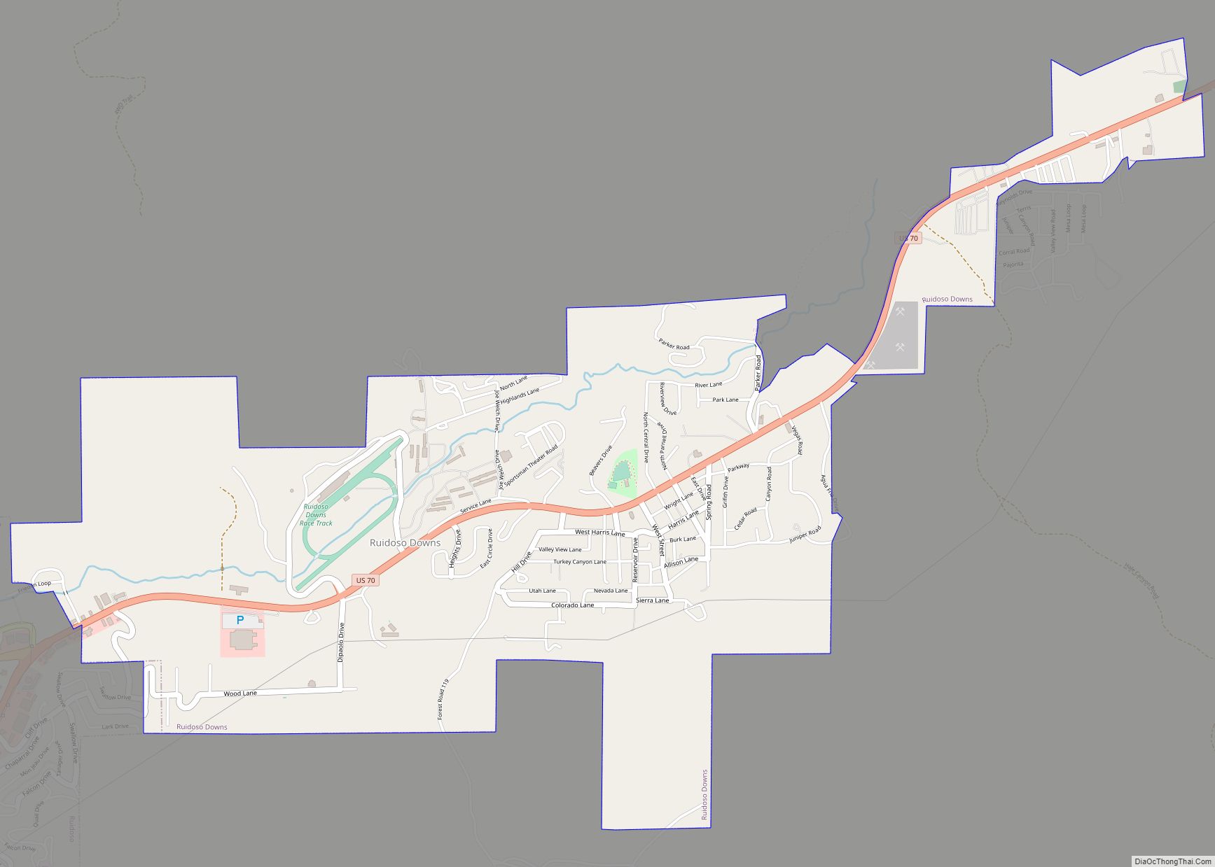
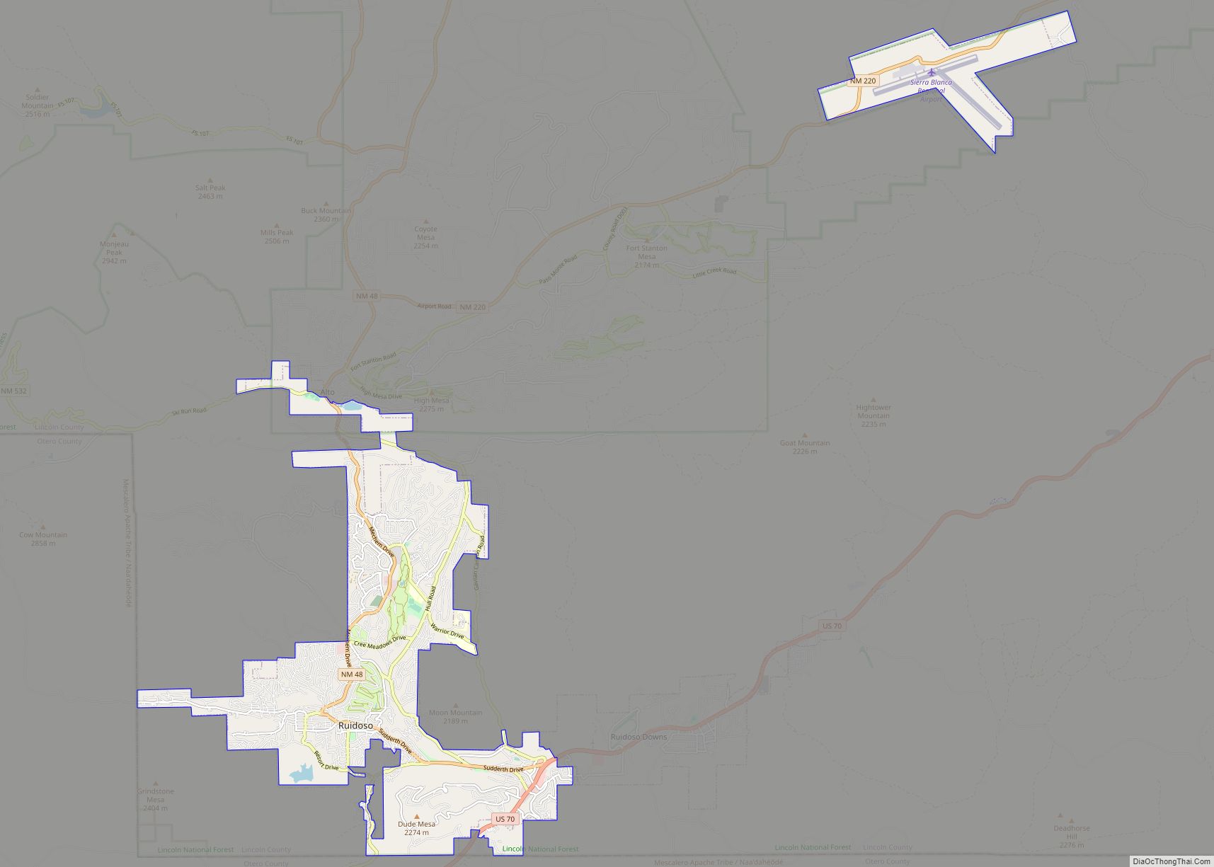
Ruidoso is a village in Lincoln County, New Mexico, United States, adjacent to the Lincoln National Forest. The population was 8,029 at the 2010 census. The city of Ruidoso Downs and the unincorporated area of Alto are suburbs of Ruidoso, and contribute to the Ruidoso Micropolitan Statistical Area’s population of 21,223.
A mountain resort town, Ruidoso lies in the Sierra Blanca mountain range of south-central New Mexico, where it merges with the Sacramento Mountains to the south. Ruidoso is a resort community close to the slopes of Ski Apache, the Mescalero Apache Tribe-owned ski resort on Sierra Blanca, an almost 12,000-foot (3,700 m) mountain. The tribe also operates the Inn of the Mountain Gods resort in the area, which includes a casino, hotel, arcade room and golf course. Ruidoso is the largest community in Lincoln County, and serves as the regional economic hub.
In recent years the village is contending with serious questions about the adequacy of the local water supply and zoning enforcement. As in many small communities that have been recently “discovered”, there is an ongoing debate about how best to plan for additional growth.
The village received its name from the Rio Ruidoso (Spanish for “Noisy River”), a small stream that weaves through the city.
| Name: | Ruidoso village |
|---|---|
| LSAD Code: | 47 |
| LSAD Description: | village (suffix) |
| State: | New Mexico |
| County: | Lincoln County |
| Elevation: | 6,920 ft (2,109 m) |
| Total Area: | 16.15 sq mi (41.83 km²) |
| Land Area: | 16.13 sq mi (41.78 km²) |
| Water Area: | 0.02 sq mi (0.05 km²) |
| Total Population: | 7,679 |
| Population Density: | 476.01/sq mi (183.78/km²) |
| ZIP code: | 88345, 88355 |
| Area code: | 575 |
| FIPS code: | 3565210 |
| Website: | ruidoso-nm.gov |
Online Interactive Map
Click on ![]() to view map in "full screen" mode.
to view map in "full screen" mode.
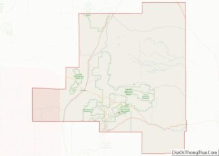
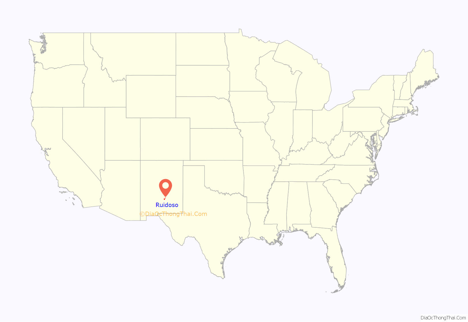
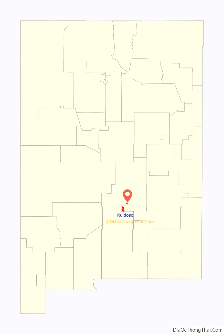
Ruidoso location map. Where is Ruidoso village?
History
Along the eastern foothills of White Mountain, retired army Captain Paul Dowlin built Dowlin’s Mill where the Carrizo Creek and Rio Ruidoso merge. He had served at nearby Fort Stanton. The Mill was also a general store, dance hall, and moonshine supply.
San Patricio, NM (in the Hondo Valley) was originally known as Ruidoso. In 1875, its name was changed in honor of a Catholic priest’s patron saint. Early Hispanos used the term “Ruidoso” to describe a noisy creek. Today’s Ruidoso grew up around Dowlin’s Mill. Will Dowlin survived his brother, after an employee shot Captain Paul dead.
By 1885, with a general store, blacksmith, post office, cabins along the Rio Ruidoso, and proximity to the Chisholm Trail . . . Ruidoso, NM was born.
The Wingfield family operated a dairy and early post office. By 1914, cabins were being built in Upper Canyon. At Cedar Creek in 1935, a ski area opened on a sloping meadow. By 1947, a race track was opened at Hollywood Park. Visitors played golf in the Gateway area. Finally, in 1963 the Mescalero Apaches purchased the ski area now known as Ski Apache.
In December 2006, seven percent of eligible voters approved a $12.6 million bond issue to finance the expansion and modernization of the local wastewater treatment plant which was built in 1982. In 2011, construction was completed on a $36 million wastewater treatment plant. This state-of-the-art facility utilizes membrane technology to achieve discharge standards within regulatory guidelines. The plant was designed to accommodate future growth. The average daily volume is 1.6 million gallons. The plant can currently process up to 2.7 million gallons per day.
The town and the river were hit by devastating flash flooding from late at night on July 26, 2008, through July 27, 2008. The remnant circulation of Hurricane Dolly passed over the area and brought as much as 9 inches (229 mm) of rainfall. Hundreds of tourists, campers and residents were evacuated and the storm caused damage at the Ruidoso Downs Race Track. One person was killed in the flooding, approximately 900 persons required rescue, approximately 500 structures were damaged, and initial damage estimates for Ruidoso were in the range of $15– 20 million.
In March 2016 the village of Ruidoso entered into a Sister City relationship with Puerto Peñasco, Sonora, Mexico.
In April 2022, large parts of Ruidoso were threatened by the McBride Fire; over 200 structures were destroyed and 2 people were killed by the blaze, fueled by intense dryness and strong winds.
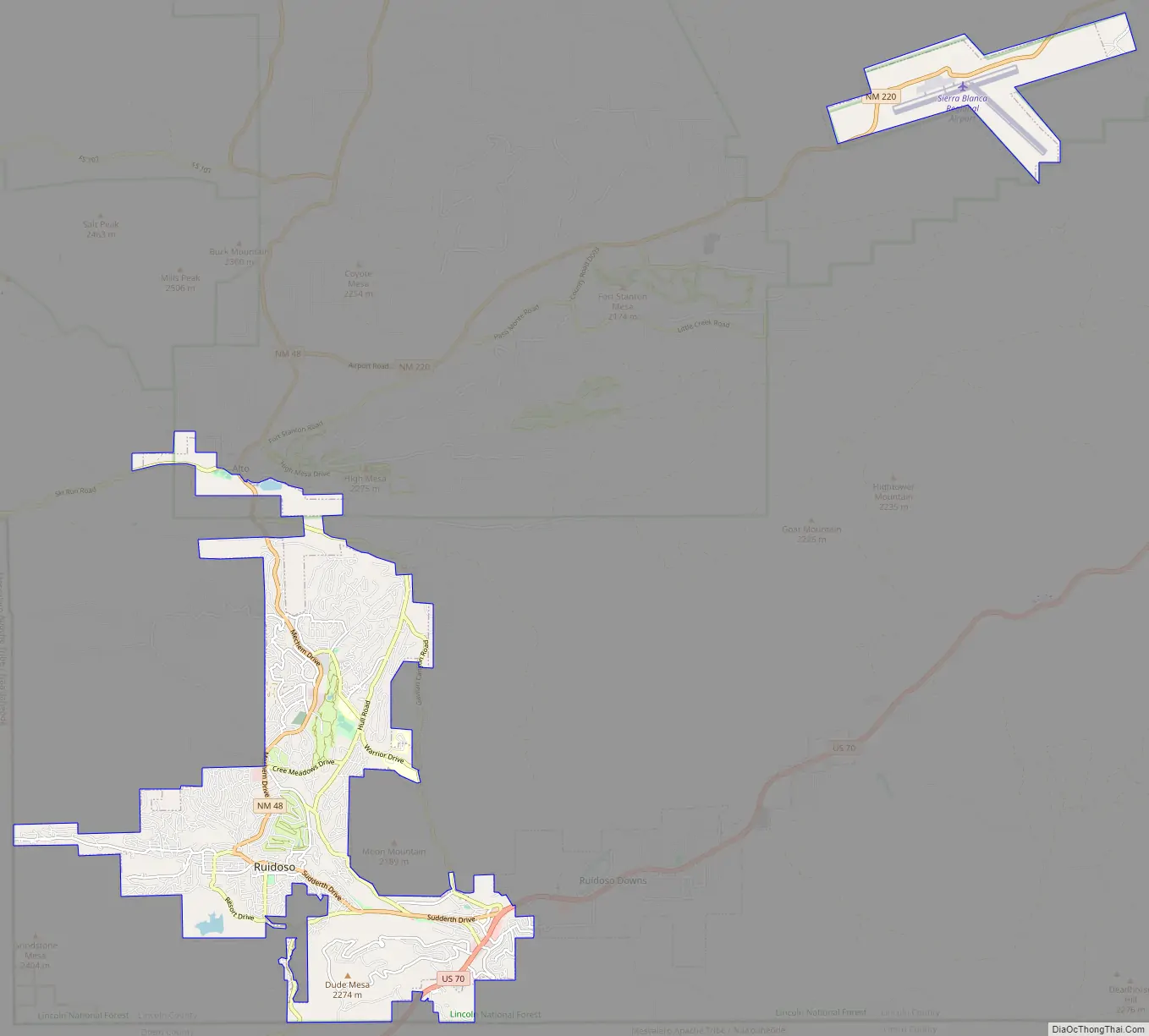
Ruidoso Road Map
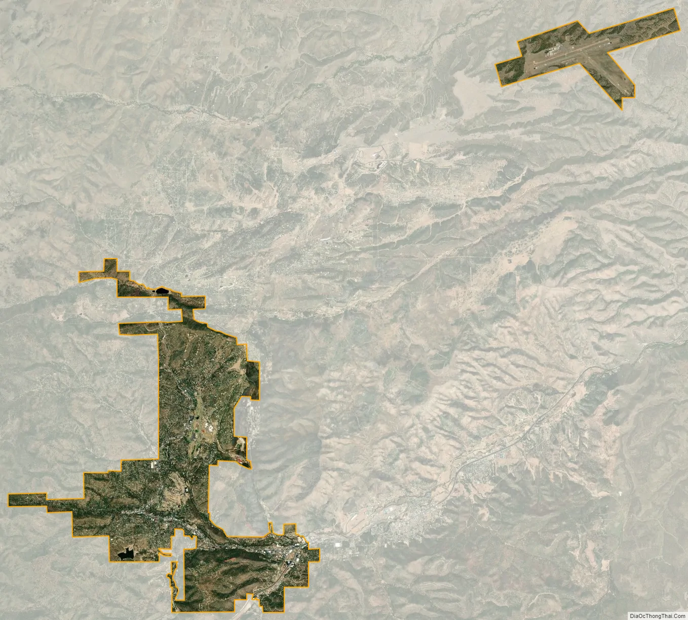
Ruidoso city Satellite Map
Geography
Ruidoso is in southern Lincoln County, with elevations ranging from 6,400 feet (2,000 m) at the village’s southeast corner in the valley of the Rio Ruidoso up to over 7,700 feet (2,300 m) at the village’s northern end near Alto. Ruidoso’s southern border and westernmost border follow the Otero County line. The village is bordered to the east by the city of Ruidoso Downs. U.S. Route 70 passes through the southeast part of the village, following the valley of Carrizo Creek upstream from the Rio Ruidoso. The highway leads east down the valley of the Rio Ruidoso and Rio Hondo 70 miles (110 km) to Roswell and southwest over Apache Summit 33 miles (53 km) to Tularosa. New Mexico State Road 48 passes through the center of Ruidoso on Sudderth Drive, the village’s main street, and leads north 18 miles (29 km) to Capitan.
According to the U.S. Census Bureau, the village has a total area of 16.1 square miles (41.7 km), of which 0.02 square miles (0.05 km), or 0.12%, are water.
Climate
According to the Köppen-Geiger climate classification system, Ruidoso has a Subtropical highland climate (Cwb) due to its moderate temperature ranges and precipitation throughout the year. Bi-modal precipitation falls as rain during summer monsoon and as winter snow. Snowfall varies highly by the year.
See also
Map of New Mexico State and its subdivision: Map of other states:- Alabama
- Alaska
- Arizona
- Arkansas
- California
- Colorado
- Connecticut
- Delaware
- District of Columbia
- Florida
- Georgia
- Hawaii
- Idaho
- Illinois
- Indiana
- Iowa
- Kansas
- Kentucky
- Louisiana
- Maine
- Maryland
- Massachusetts
- Michigan
- Minnesota
- Mississippi
- Missouri
- Montana
- Nebraska
- Nevada
- New Hampshire
- New Jersey
- New Mexico
- New York
- North Carolina
- North Dakota
- Ohio
- Oklahoma
- Oregon
- Pennsylvania
- Rhode Island
- South Carolina
- South Dakota
- Tennessee
- Texas
- Utah
- Vermont
- Virginia
- Washington
- West Virginia
- Wisconsin
- Wyoming