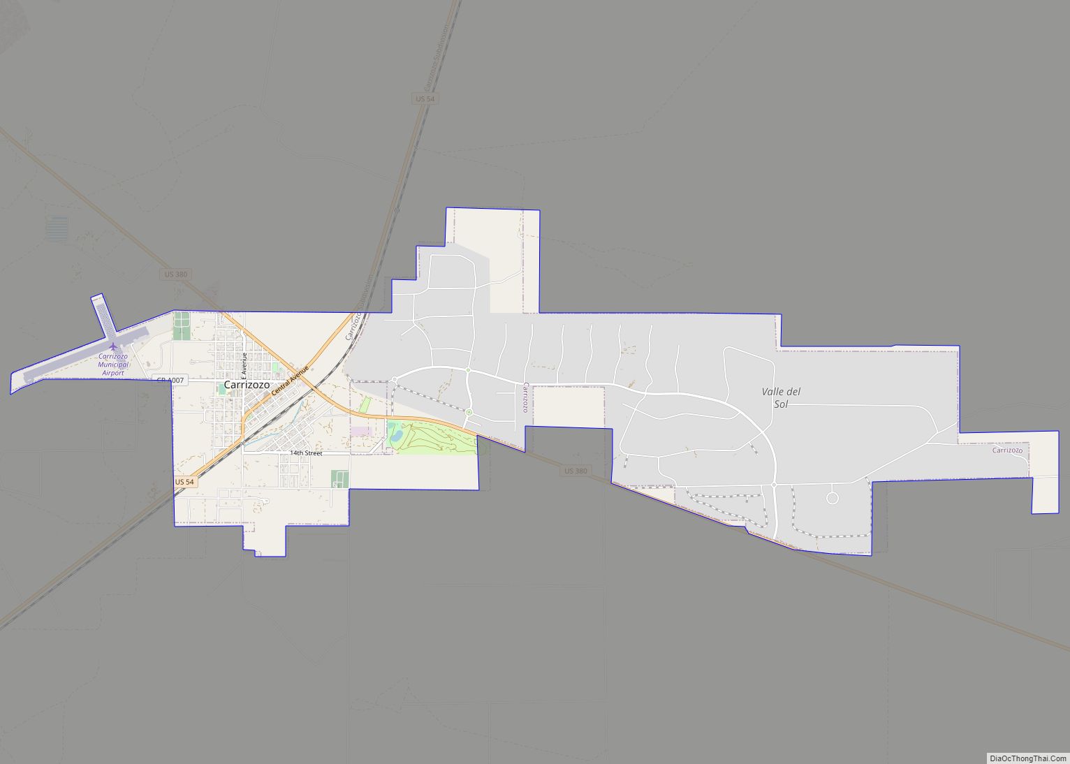
Carrizozo is a town in Lincoln County, New Mexico, United States. It is the county seat, with a population of 996 at the 2010 census. Founded in 1899, the town provided the main railroad access for Lincoln County, and the town experienced significant population growth in the early decades of the 1900s. However, with declining relevance of the railroad, the population of the town has gradually declined. The town is located at the intersection of U.S. Routes 54 and 380.
| Name: | Carrizozo town |
|---|---|
| LSAD Code: | 43 |
| LSAD Description: | town (suffix) |
| State: | New Mexico |
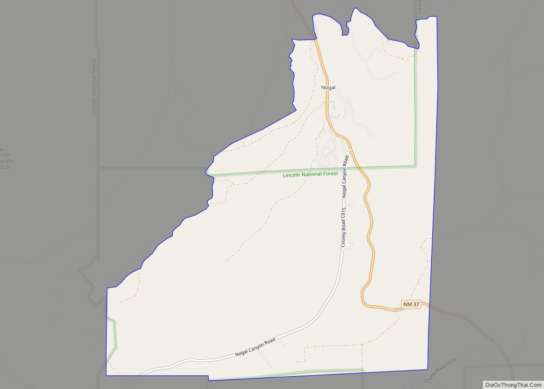
| County: | Lincoln County |
| Elevation: | 5,429 ft (1,657 m) |
| Total Area: | 8.36 sq mi (21.66 km²) |
| Land Area: | 8.36 sq mi (21.66 km²) |
| Water Area: | 0.00 sq mi (0.00 km²) |
| Total Population: | 972 |
| Population Density: | 116.25/sq mi (44.88/km²) |
| ZIP code: | 88301 |
| Area code: | 575 |
| FIPS code: | 3512500 |
| GNISfeature ID: | 0918425 |
| Website: | www.townofcarrizozo.com |
Online Interactive Map
Click on ![]() to view map in "full screen" mode.
to view map in "full screen" mode.
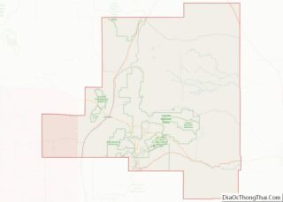
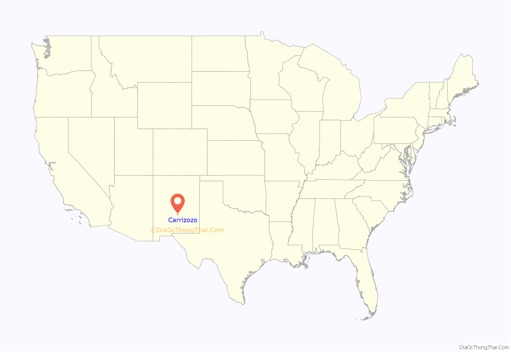
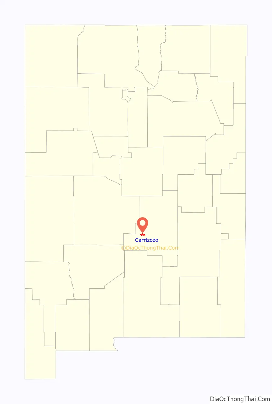
Carrizozo location map. Where is Carrizozo town?
History
Prior to 1899, the area was primarily a few ranches and a stagecoach crossing with limited permanent settlement. Lawrence Murphy, a merchant active in the Lincoln County War (1878), owned a major ranch in the area. The location of Carrizozo was selected as the site for a station on the El Paso and Northeastern Railway (EP&NE) main line in 1899. Carrizozo was chosen over the nearby booming mine town of White Oaks, resulting in large-scale migration from White Oaks to Carrizozo.
The railroad brought businesses, growing population, and increased importance to the town of Carrizozo. As a result, a county referendum in 1909 moved the seat of Lincoln County from the town of Lincoln to Carrizozo. This decision resulted in a four-year legal battle that was eventually resolved in favor of Carrizozo by the Supreme Court of the United States in the case of Gray v. Taylor. The result was a boom in which railroad access and political importance combined to lead to significant population growth in Carrizozo. The population reached around 2,000 by 1920.
During this time, Albert B. Fall, a U.S. Senator from New Mexico and later Secretary of the Interior, owned the Three Rivers Ranch just south of Carrizozo, but had to sell it to settle legal debts as a result of his involvement in the Teapot Dome scandal (1922–1923). During the same time, journalist Quentin Reynolds visited the town and wrote a piece on it for Collier’s. Later, he wrote in The Wounded Don’t Cry that “I used to agree with Bugs that once you left New York, you were strictly on the horse and buggy circuit. But of late years I’ve had to modify that. Since then I’ve discovered New Orleans, San Francisco and a little place called Carrizozo, New Mexico, where I want to go when I die. I want to go there and gang around the drug store and sneak behind the prescription counter with Art Rolland and have a nip of what he calls Old Granddaddy then type out his prescriptions for him.”
Carrizozo is about 35 miles (56 km) east of the Trinity Site, where the first nuclear bomb was detonated on July 16, 1945. Residents reported tremors like an earthquake and, as the first major downwind settlement, the town received a significant part of the remnants of the mushroom cloud (resulting in some radioactive contamination of the area, which faded quickly and does not persist today).
With the rise of the automobile, Carrizozo’s proximity to the railroad became less important starting in the 1950s, and the last passenger train passed through in 1968. The result was a decrease in economic opportunity in Carrizozo, and the population fell back to about 1,200 people for much of the end of the 20th century. Recently, the town has seen increasing focus on tourism, and cherry cider produced in the town is known nationally.
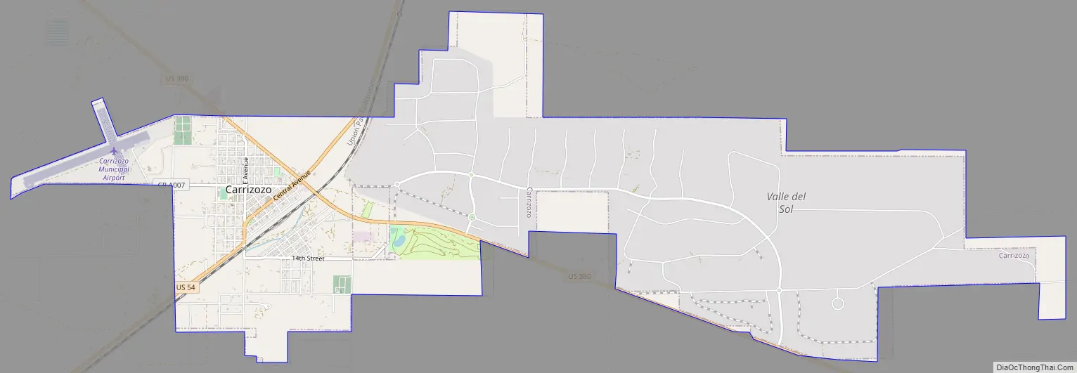
Carrizozo Road Map
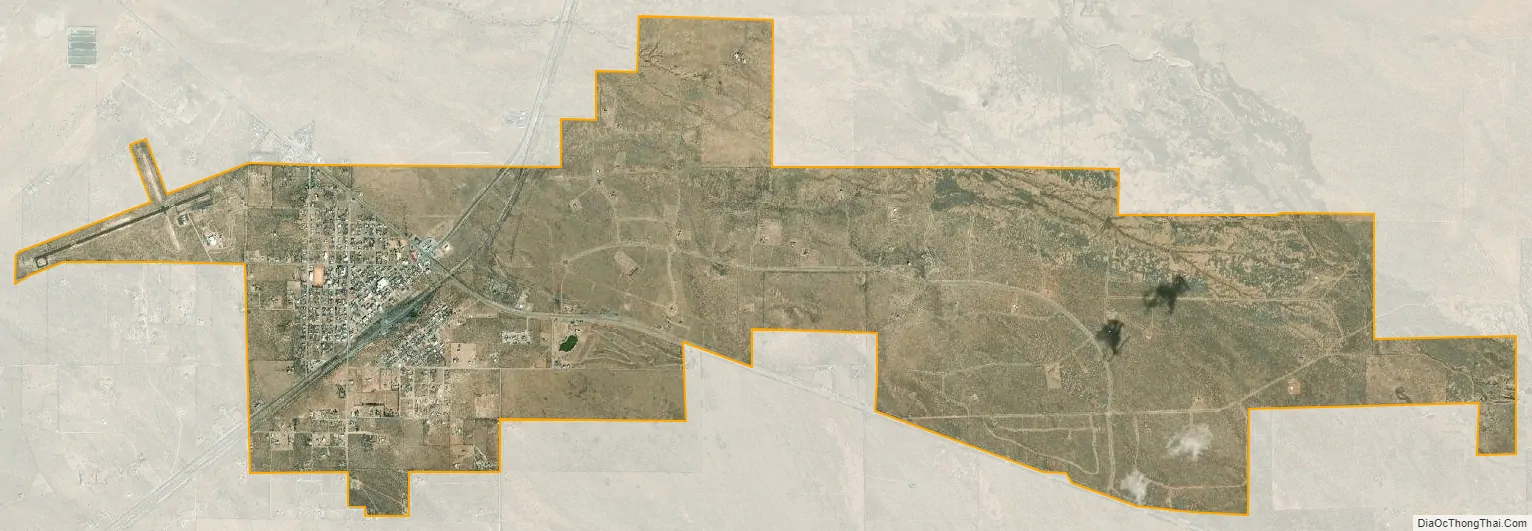
Carrizozo city Satellite Map
Geography
Carrizozo is located at the northern end of the Tularosa Basin, which extends southward to the New Mexico–Texas border. The town itself is located in a flat area known prior to the founding of the town as the Corrizo flats, with typical Chihuahuan desert scrub and desert grasslands.
To the west of the town is the Carrizozo Malpais, a 40-mile-long (64 km) lava flow that is about 1,500 years old and accessible through the Valley of Fires Recreation Area. To the northeast is Carrizo Mountain, a 9,600-foot (2,900 m) peak within the Sacramento Mountains, and to the southeast are the Sierra Blanca mountain range.
Climate
See also
Map of New Mexico State and its subdivision: Map of other states:- Alabama
- Alaska
- Arizona
- Arkansas
- California
- Colorado
- Connecticut
- Delaware
- District of Columbia
- Florida
- Georgia
- Hawaii
- Idaho
- Illinois
- Indiana
- Iowa
- Kansas
- Kentucky
- Louisiana
- Maine
- Maryland
- Massachusetts
- Michigan
- Minnesota
- Mississippi
- Missouri
- Montana
- Nebraska
- Nevada
- New Hampshire
- New Jersey
- New Mexico
- New York
- North Carolina
- North Dakota
- Ohio
- Oklahoma
- Oregon
- Pennsylvania
- Rhode Island
- South Carolina
- South Dakota
- Tennessee
- Texas
- Utah
- Vermont
- Virginia
- Washington
- West Virginia
- Wisconsin
- Wyoming