Chama is a village in Rio Arriba County, New Mexico, United States. The population was 1,022 at the 2010 census. The village is located in the Rocky Mountains about 7 miles (11 km) south of the Colorado–New Mexico border.
| Name: | Chama village |
|---|---|
| LSAD Code: | 47 |
| LSAD Description: | village (suffix) |
| State: | New Mexico |
| County: | Rio Arriba County |
| Elevation: | 7,871 ft (2,399 m) |
| Total Area: | 2.91 sq mi (7.54 km²) |
| Land Area: | 2.88 sq mi (7.46 km²) |
| Water Area: | 0.03 sq mi (0.08 km²) |
| Total Population: | 917 |
| Population Density: | 318.29/sq mi (122.91/km²) |
| ZIP code: | 87520 |
| Area code: | 575 |
| FIPS code: | 3513970 |
| GNISfeature ID: | 0902207 |
| Website: | http://chamavillage.com/ |
Online Interactive Map
Click on ![]() to view map in "full screen" mode.
to view map in "full screen" mode.
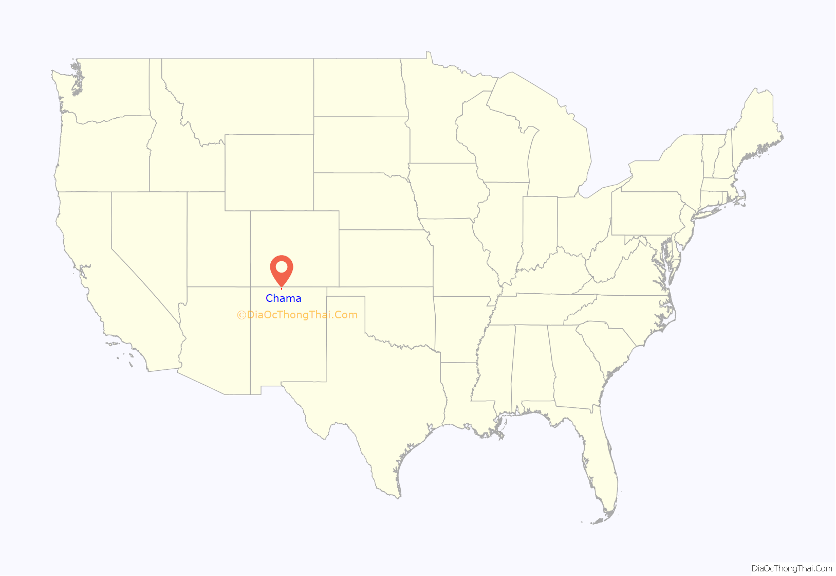
Chama location map. Where is Chama village?
History
Chama is the western terminus of the Cumbres and Toltec Scenic Railroad, a steam-driven, narrow gauge heritage railway which carries visitors to and from Osier, Colorado, and Antonito, Colorado, during the summer months. It is the remaining 64 mile portion of the Denver & Rio Grande Railroad’s San Juan Extension built in the 1880s between Alamosa, Colorado, and Durango, Colorado. The route was abandoned in the late 1960s and the tracks from Chama westward to Durango were torn up soon afterwards.
The Chama train depot
Two DRGW locomotives waiting to be serviced at the Chama engine house, 1967.
Cumbres & Toltec train in downtown Chama.
Northwest Field Team Leader Norm Vigil (red) and Soil Conservationist Jill Jensen (blue) provide grazing recommendations for a ranch that specializes in raising elk for hunting. Chama, New Mexico; 2011.
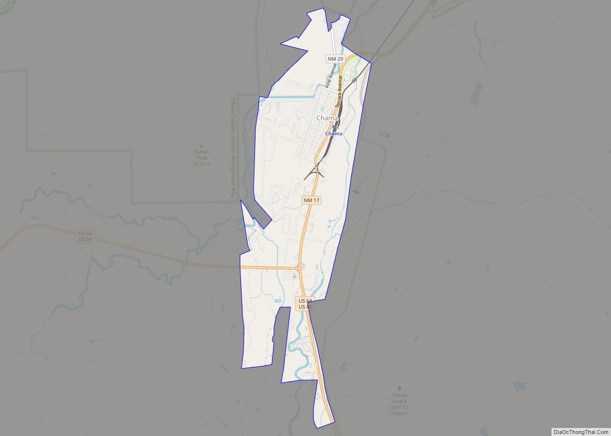
Chama Road Map
Chama city Satellite Map
Geography
Chama is located at 36°53′41″N 106°35′4″W / 36.89472°N 106.58444°W / 36.89472; -106.58444 (36.894777, -106.584406), on the Rio Chama, 6.5 miles (10 km) south of the Colorado border. According to the United States Census Bureau, the village has a total area of 2.6 square miles (6.7 km), all of it land.
See also
Map of New Mexico State and its subdivision: Map of other states:- Alabama
- Alaska
- Arizona
- Arkansas
- California
- Colorado
- Connecticut
- Delaware
- District of Columbia
- Florida
- Georgia
- Hawaii
- Idaho
- Illinois
- Indiana
- Iowa
- Kansas
- Kentucky
- Louisiana
- Maine
- Maryland
- Massachusetts
- Michigan
- Minnesota
- Mississippi
- Missouri
- Montana
- Nebraska
- Nevada
- New Hampshire
- New Jersey
- New Mexico
- New York
- North Carolina
- North Dakota
- Ohio
- Oklahoma
- Oregon
- Pennsylvania
- Rhode Island
- South Carolina
- South Dakota
- Tennessee
- Texas
- Utah
- Vermont
- Virginia
- Washington
- West Virginia
- Wisconsin
- Wyoming
