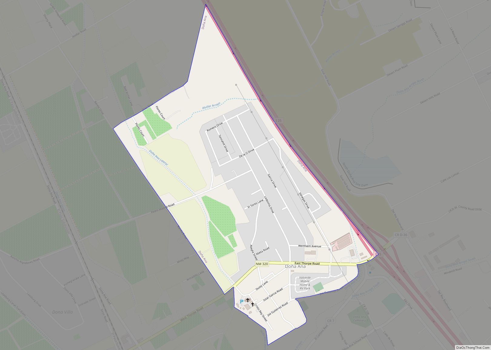
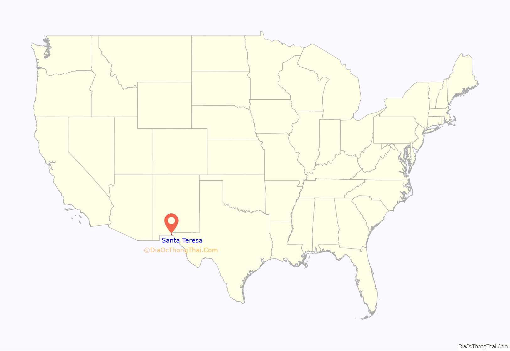
Santa Teresa is a census-designated place (CDP) in Dona Ana County, New Mexico, United States. It is home to the Santa Teresa Port of Entry and is part of the Las Cruces Metropolitan Statistical Area, although geographically it is considerably closer to El Paso, Texas than to Las Cruces. While the United States Census Bureau has defined Santa Teresa as a CDP, the census definition of the area may not precisely correspond to local understanding of the area with the same name. The population was 4,258 at the 2010 census and 5,044 at the 2020 census.
| Name: | Santa Teresa CDP |
|---|---|
| LSAD Code: | 57 |
| LSAD Description: | CDP (suffix) |
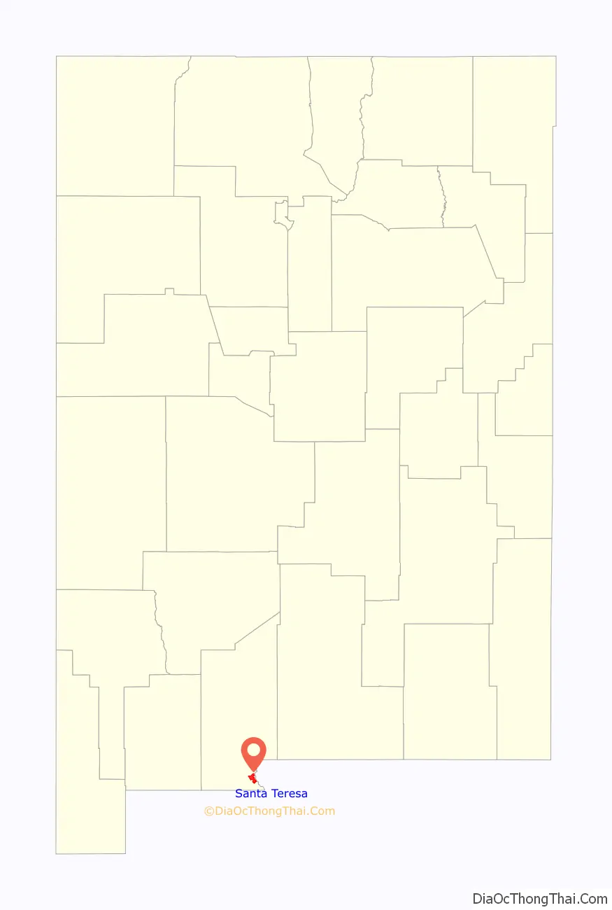
| State: | New Mexico |
| County: | Doña Ana County |
| Elevation: | 3,793 ft (1,156 m) |
| Total Area: | 8.85 sq mi (22.92 km²) |
| Land Area: | 8.85 sq mi (22.92 km²) |
| Water Area: | 0.00 sq mi (0.00 km²) |
| Total Population: | 5,044 |
| Population Density: | 569.94/sq mi (220.05/km²) |
| ZIP code: | 88008, 88063 |
| Area code: | 575 |
| FIPS code: | 3570700 |
| GNISfeature ID: | 0933190 |
Online Interactive Map
Click on ![]() to view map in "full screen" mode.
to view map in "full screen" mode.
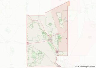
Santa Teresa location map. Where is Santa Teresa CDP?
History
In 2015, the community of Santa Teresa petitioned the Doña Ana County Board of Commissioners to incorporate it as a city. When Sunland Park proposed annexing Santa Teresa, every Board member agreed that Sunland Park had no jurisdiction over Santa Teresa, whereupon Sunland Park filed an appeal to that decision with the New Mexico Supreme Court.
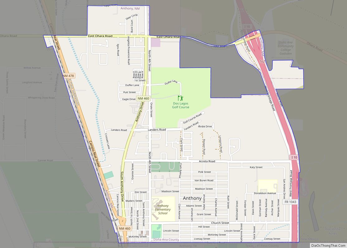
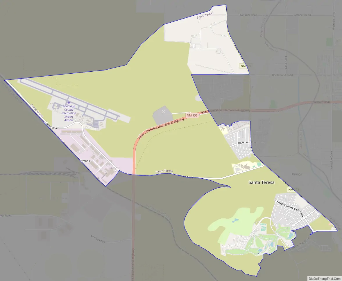
Santa Teresa Road Map
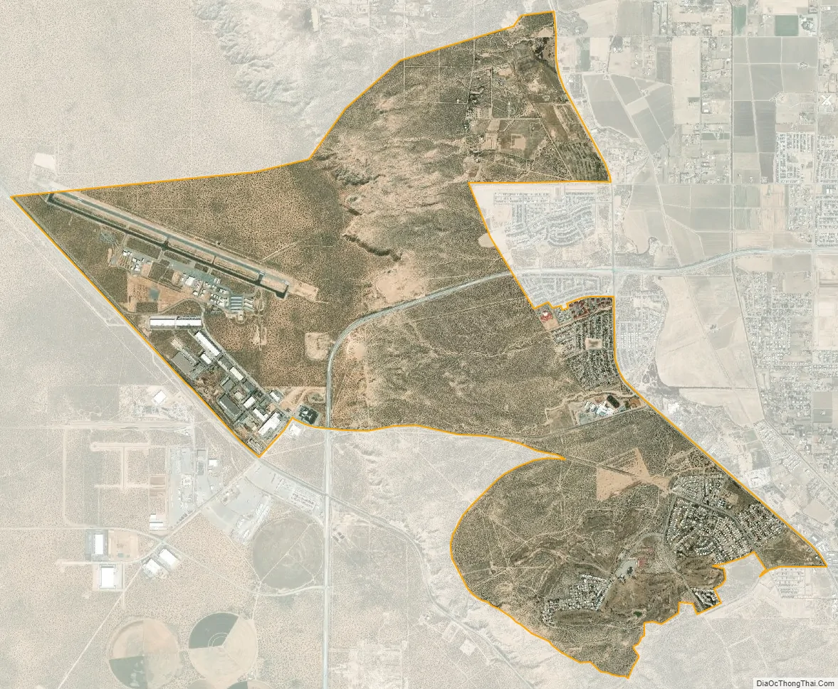
Santa Teresa city Satellite Map
Geography
Santa Teresa is located at 31°51′12″N 106°38′29″W / 31.85333°N 106.64139°W / 31.85333; -106.64139 (31.853273, -106.641302). According to the United States Census Bureau, the CDP has a total area of 10.9 square miles (28 km), all land.
See also
Map of New Mexico State and its subdivision: Map of other states:- Alabama
- Alaska
- Arizona
- Arkansas
- California
- Colorado
- Connecticut
- Delaware
- District of Columbia
- Florida
- Georgia
- Hawaii
- Idaho
- Illinois
- Indiana
- Iowa
- Kansas
- Kentucky
- Louisiana
- Maine
- Maryland
- Massachusetts
- Michigan
- Minnesota
- Mississippi
- Missouri
- Montana
- Nebraska
- Nevada
- New Hampshire
- New Jersey
- New Mexico
- New York
- North Carolina
- North Dakota
- Ohio
- Oklahoma
- Oregon
- Pennsylvania
- Rhode Island
- South Carolina
- South Dakota
- Tennessee
- Texas
- Utah
- Vermont
- Virginia
- Washington
- West Virginia
- Wisconsin
- Wyoming