Jal is a small city located in Lea County, New Mexico, United States. It is New Mexico’s south-easternmost city, and shares a border with eastward state Texas. The population was 2,047 at the 2010 census. Jal is historically important in the natural gas industry, from the early 1900s to the present day.
| Name: | Jal city |
|---|---|
| LSAD Code: | 25 |
| LSAD Description: | city (suffix) |
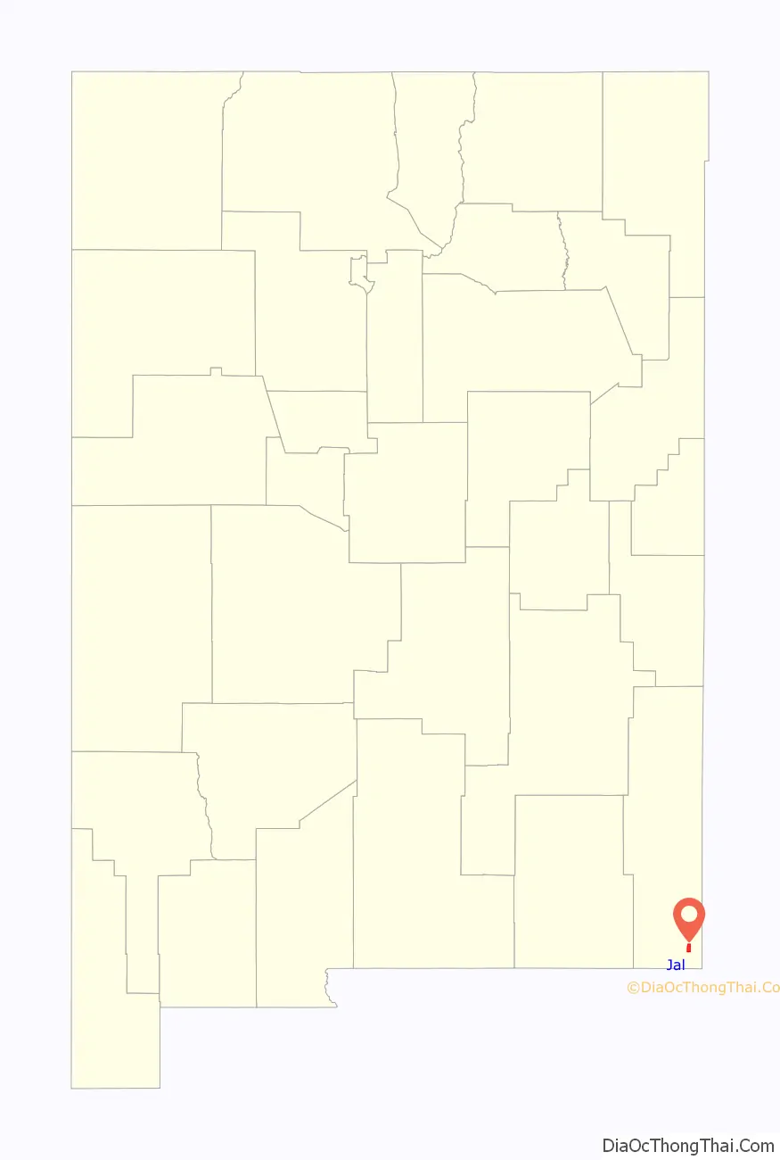
| State: | New Mexico |
| County: | Lea County |
| Elevation: | 3,045 ft (928 m) |
| Total Area: | 4.82 sq mi (12.49 km²) |
| Land Area: | 4.82 sq mi (12.49 km²) |
| Water Area: | 0.00 sq mi (0.00 km²) |
| Total Population: | 2,202 |
| Population Density: | 456.56/sq mi (176.28/km²) |
| ZIP code: | 88252 |
| Area code: | 575 |
| FIPS code: | 3535040 |
| GNISfeature ID: | 2410131 |
| Website: | www.cityofjal.us |
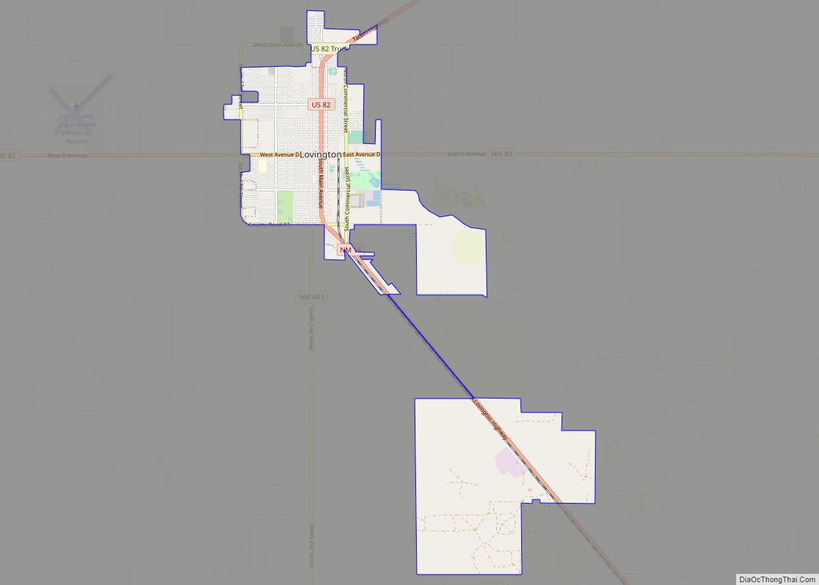
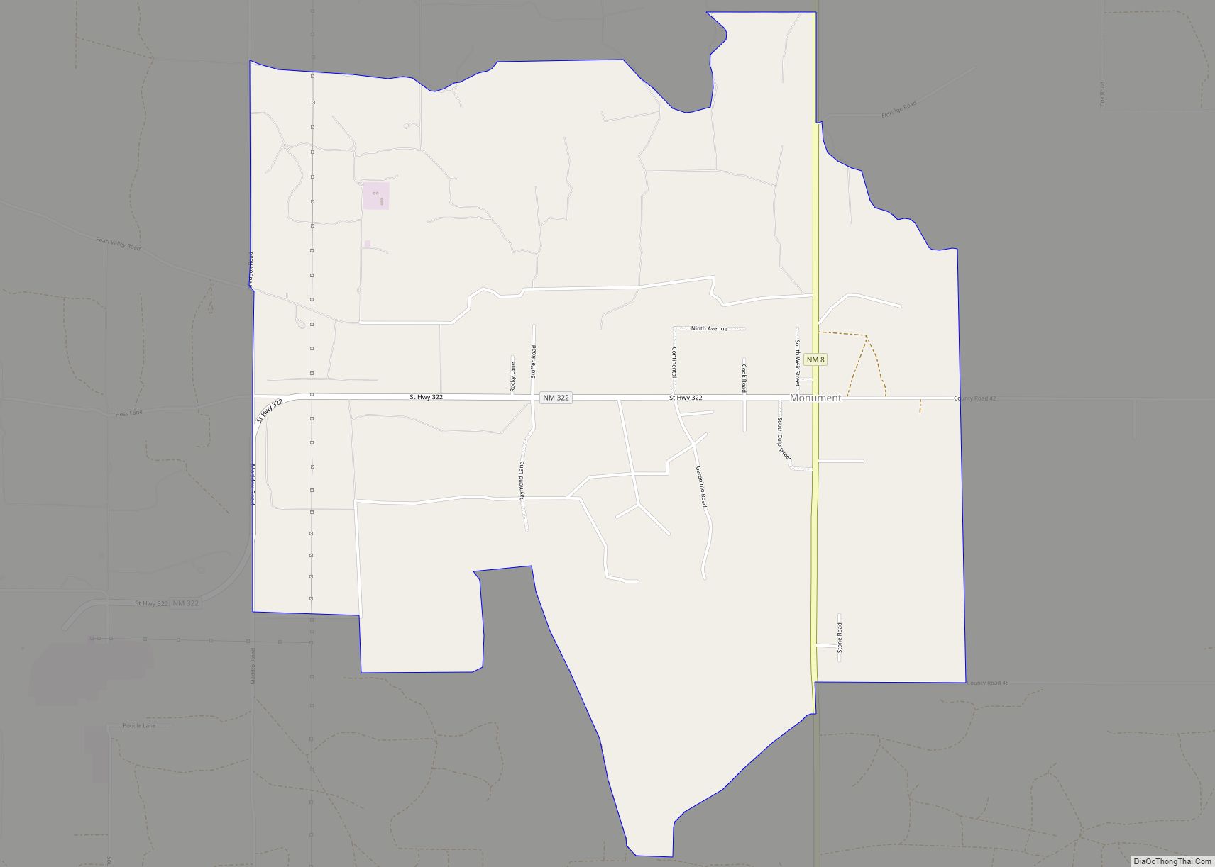
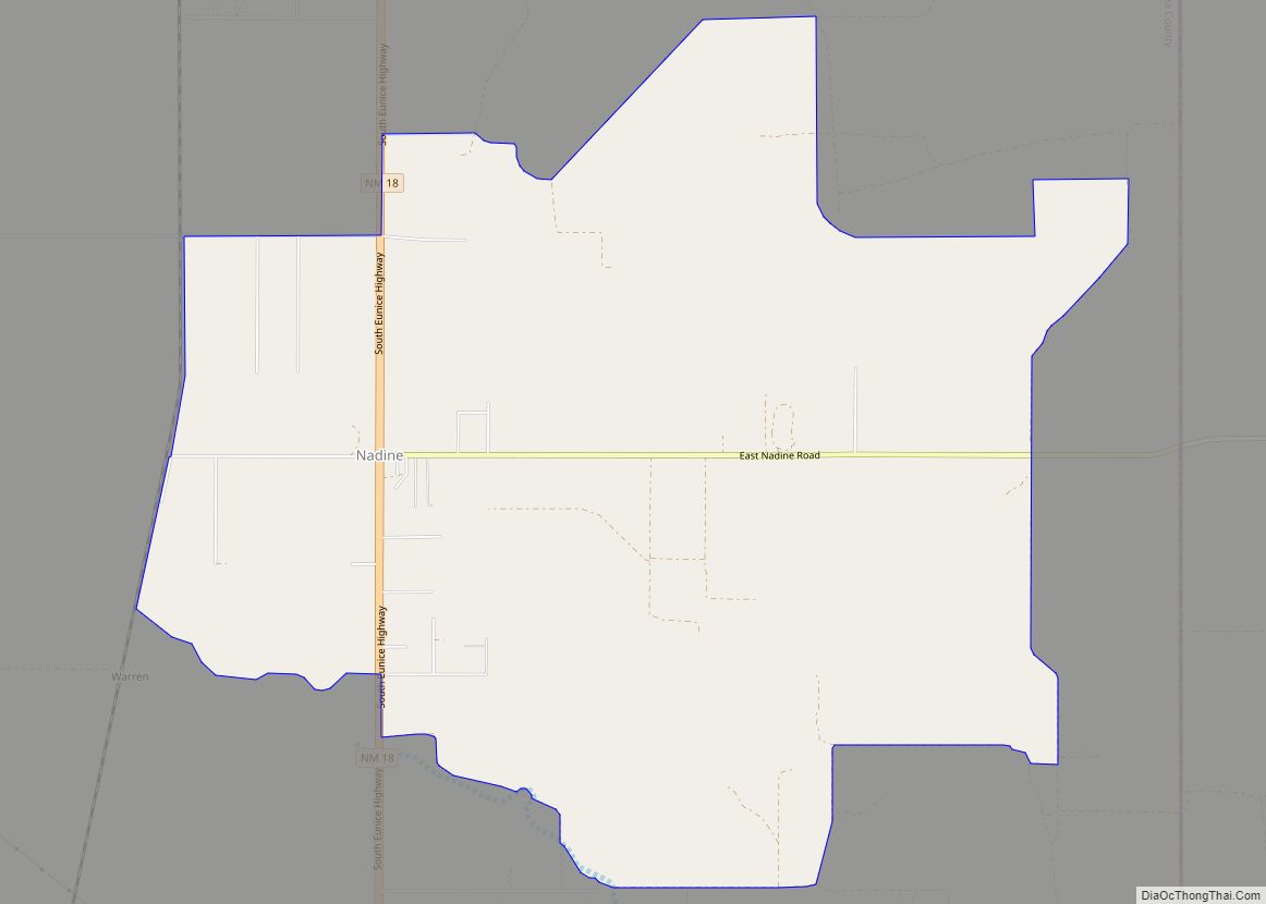
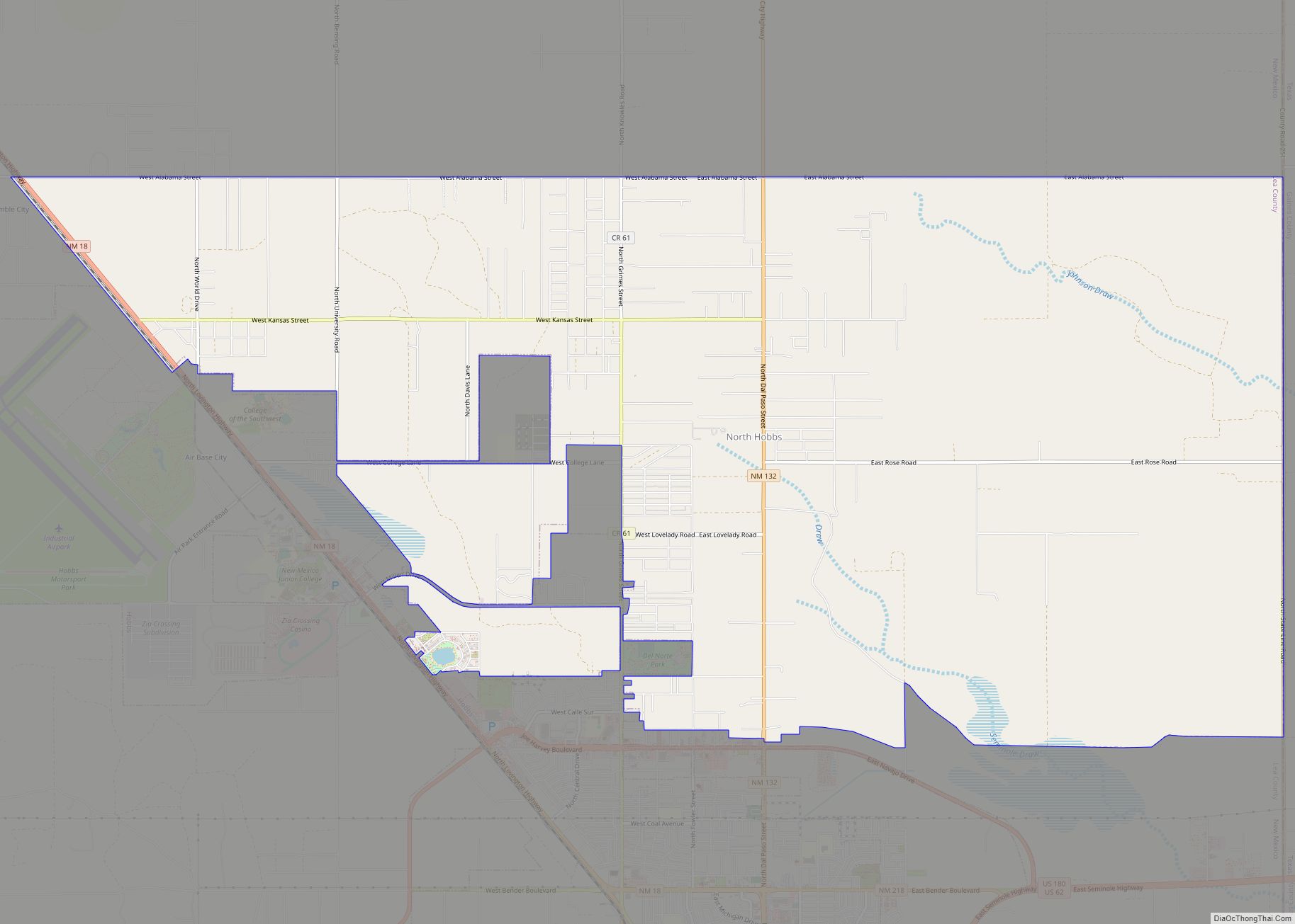
Online Interactive Map
Click on ![]() to view map in "full screen" mode.
to view map in "full screen" mode.
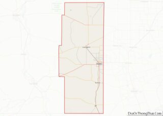
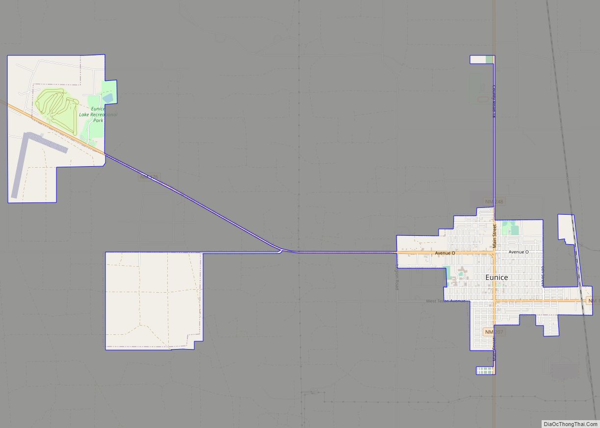
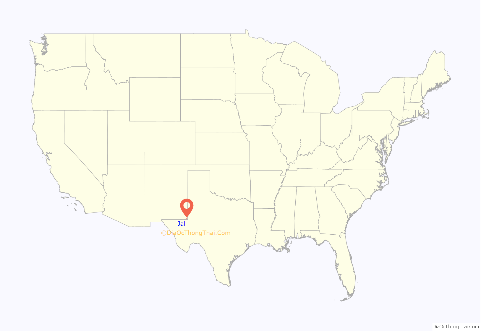
Jal location map. Where is Jal city?
History
During the early 1800s, the Cowden boys of Midland, Texas moved the entire John A. Lynch herd to the Monument draw, about 6 miles northeast of present-day Jal. All the cattle were branded with the JAL brand from shoulder to hip. In the process of trying to rebrand the Cowdens, they found it too big a task so they registered the brand under their name in Silver City, New Mexico Territory.
In 1913, Charles Justis (a merchant) applied for a post office under the name “Jal” to open six miles east of the city of Jal. However, in 1916, Jal became drought-stricken and the store and post office were relocated to Muleshoe Wells and the city of Jal was established in its present location.
On November 1, 1927, Texas Co. brought in the first well, the Rhodes #1. Then on June 2, 1928, a second well, serving up more than 90 million cubic feet of gas a day, was brought online 6 miles west of Jal. This created a “boom town,” with all the prosperity and problems that go with it. The Great Depression and low crude prices caused a sharp slump in drilling and people left in droves. Jal almost became a ghost town overnight.
In the summer of 1934, the Cooper #1 brought the “Big Boom” back to Jal. By then Jal had a passenger train and its population rose to around 500. Housing was in short supply and ranchers opened their homes to “roughnecks”. New businesses sprang up, and with the gas gathering system by El Paso Natural Gas, prosperity continued.
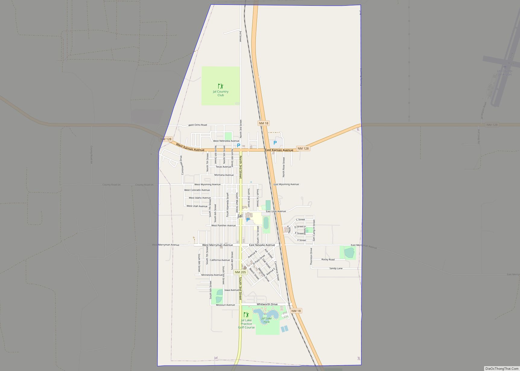
Jal Road Map
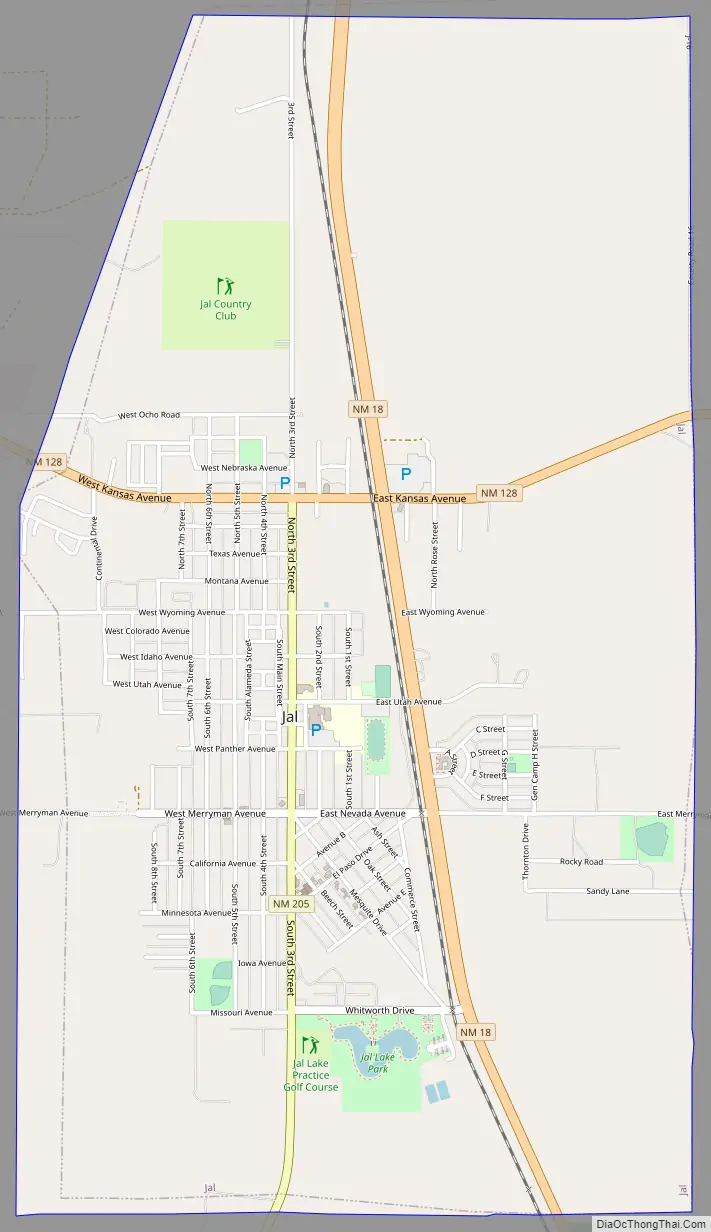
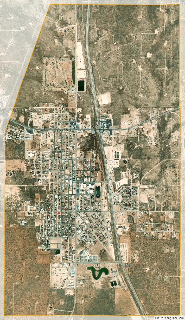
Jal city Satellite Map
Geography
According to the United States Census Bureau, the city has a total area of 4.8 square miles (12 km), all land.
See also
Map of New Mexico State and its subdivision: Map of other states:- Alabama
- Alaska
- Arizona
- Arkansas
- California
- Colorado
- Connecticut
- Delaware
- District of Columbia
- Florida
- Georgia
- Hawaii
- Idaho
- Illinois
- Indiana
- Iowa
- Kansas
- Kentucky
- Louisiana
- Maine
- Maryland
- Massachusetts
- Michigan
- Minnesota
- Mississippi
- Missouri
- Montana
- Nebraska
- Nevada
- New Hampshire
- New Jersey
- New Mexico
- New York
- North Carolina
- North Dakota
- Ohio
- Oklahoma
- Oregon
- Pennsylvania
- Rhode Island
- South Carolina
- South Dakota
- Tennessee
- Texas
- Utah
- Vermont
- Virginia
- Washington
- West Virginia
- Wisconsin
- Wyoming