Maxwell is a village in Colfax County, New Mexico, United States. The population was 254 at the 2010 census, down from 274 in 2000. Maxwell was established in 1879 as a railroad town on the Atchison, Topeka and Santa Fe Railway. It was named in honor of Lucien Maxwell, who provided the land for the original townsite from his Maxwell Land Grant.
| Name: | Maxwell village |
|---|---|
| LSAD Code: | 47 |
| LSAD Description: | village (suffix) |
| State: | New Mexico |
| County: | Colfax County |
| Elevation: | 5,925 ft (1,806 m) |
| Total Area: | 0.47 sq mi (1.23 km²) |
| Land Area: | 0.47 sq mi (1.23 km²) |
| Water Area: | 0.00 sq mi (0.00 km²) |
| Total Population: | 224 |
| Population Density: | 472.57/sq mi (182.29/km²) |
| ZIP code: | 87728 |
| Area code: | 575 |
| FIPS code: | 3547080 |
| GNISfeature ID: | 0891692 |
Online Interactive Map
Click on ![]() to view map in "full screen" mode.
to view map in "full screen" mode.
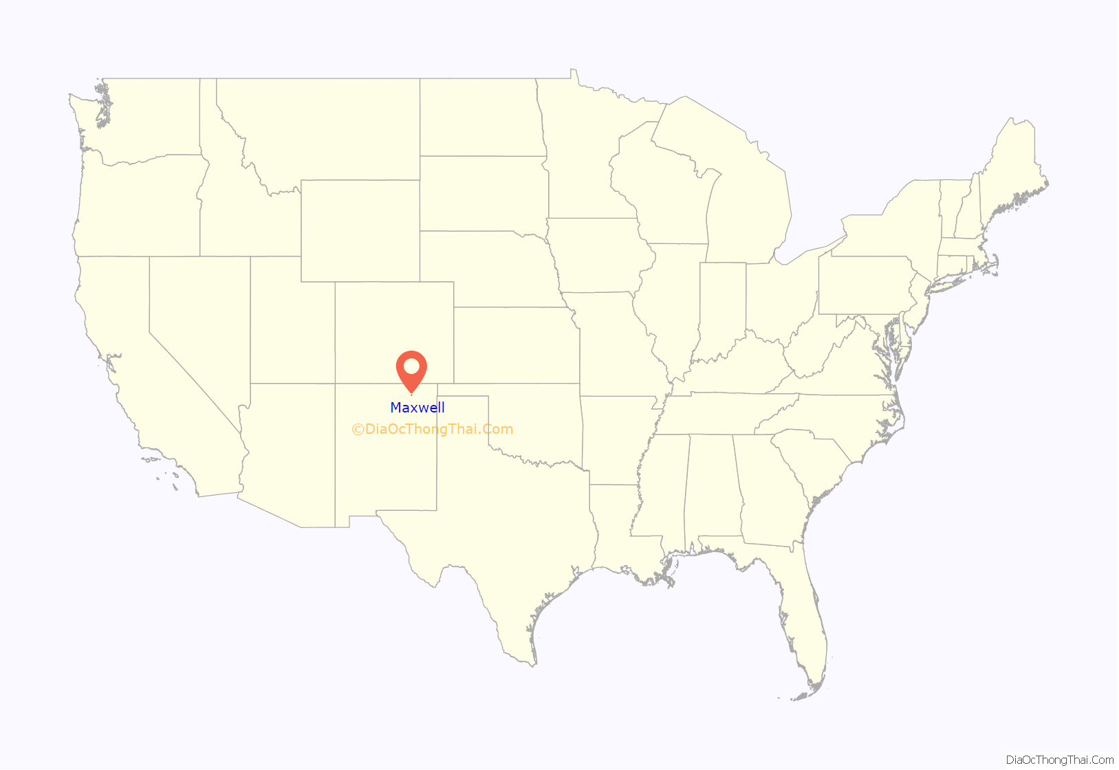
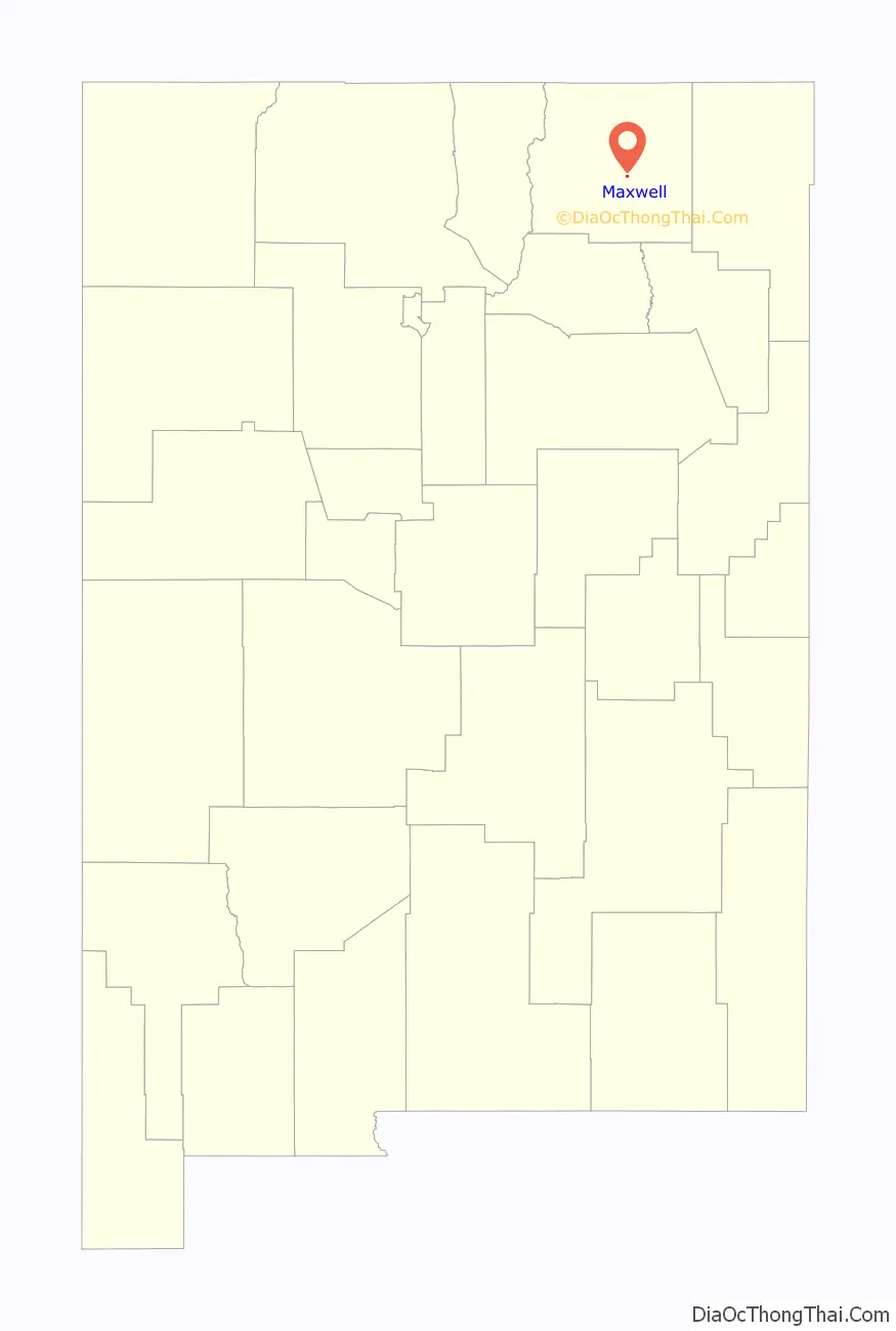
Maxwell location map. Where is Maxwell village?
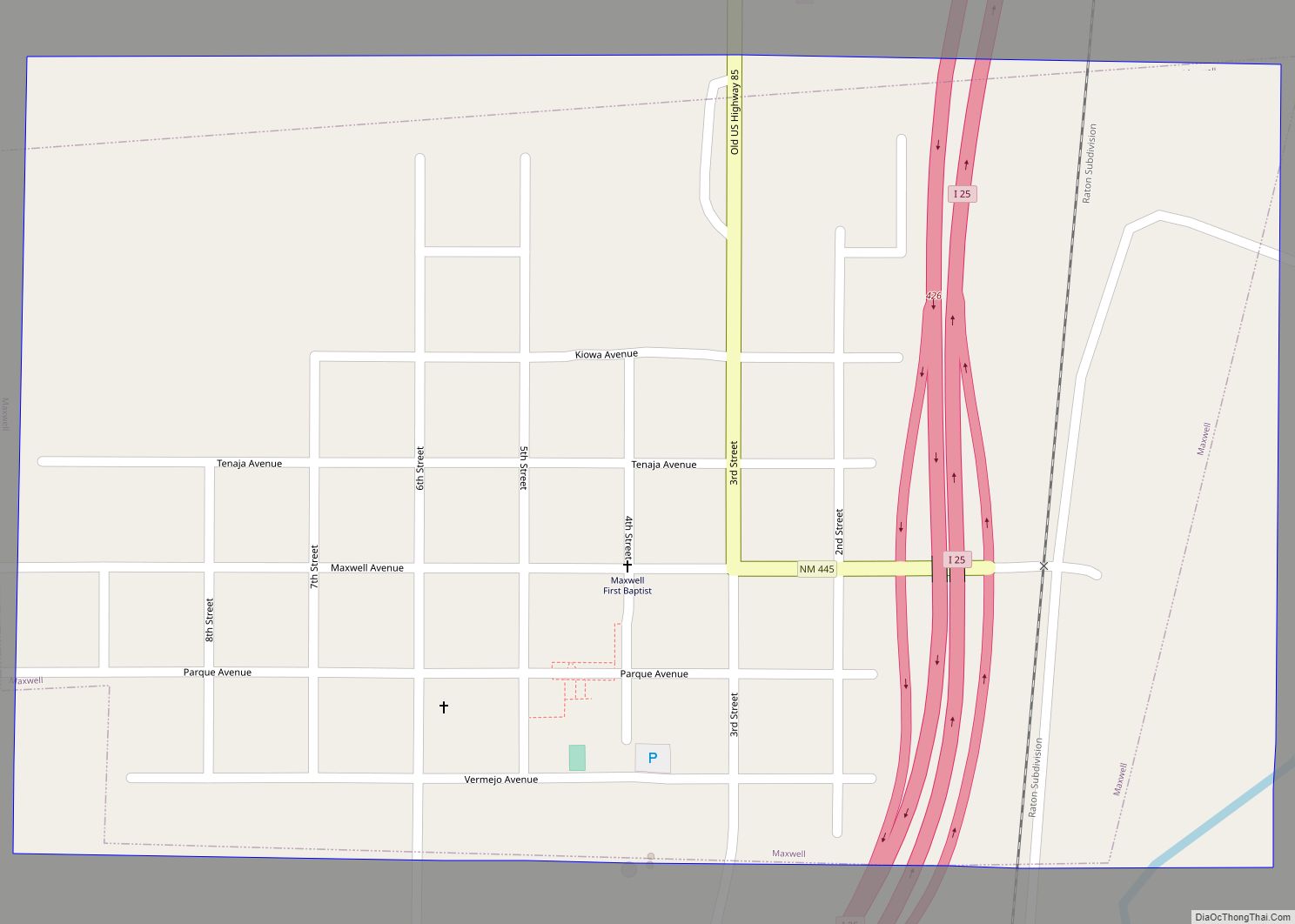
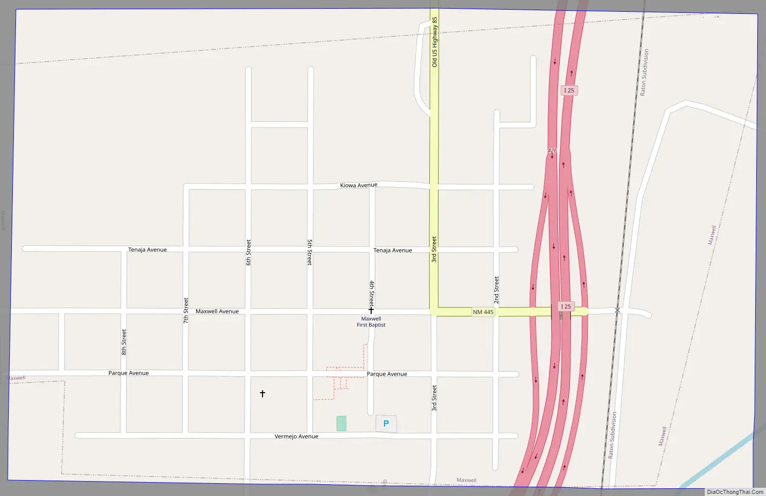
Maxwell Road Map
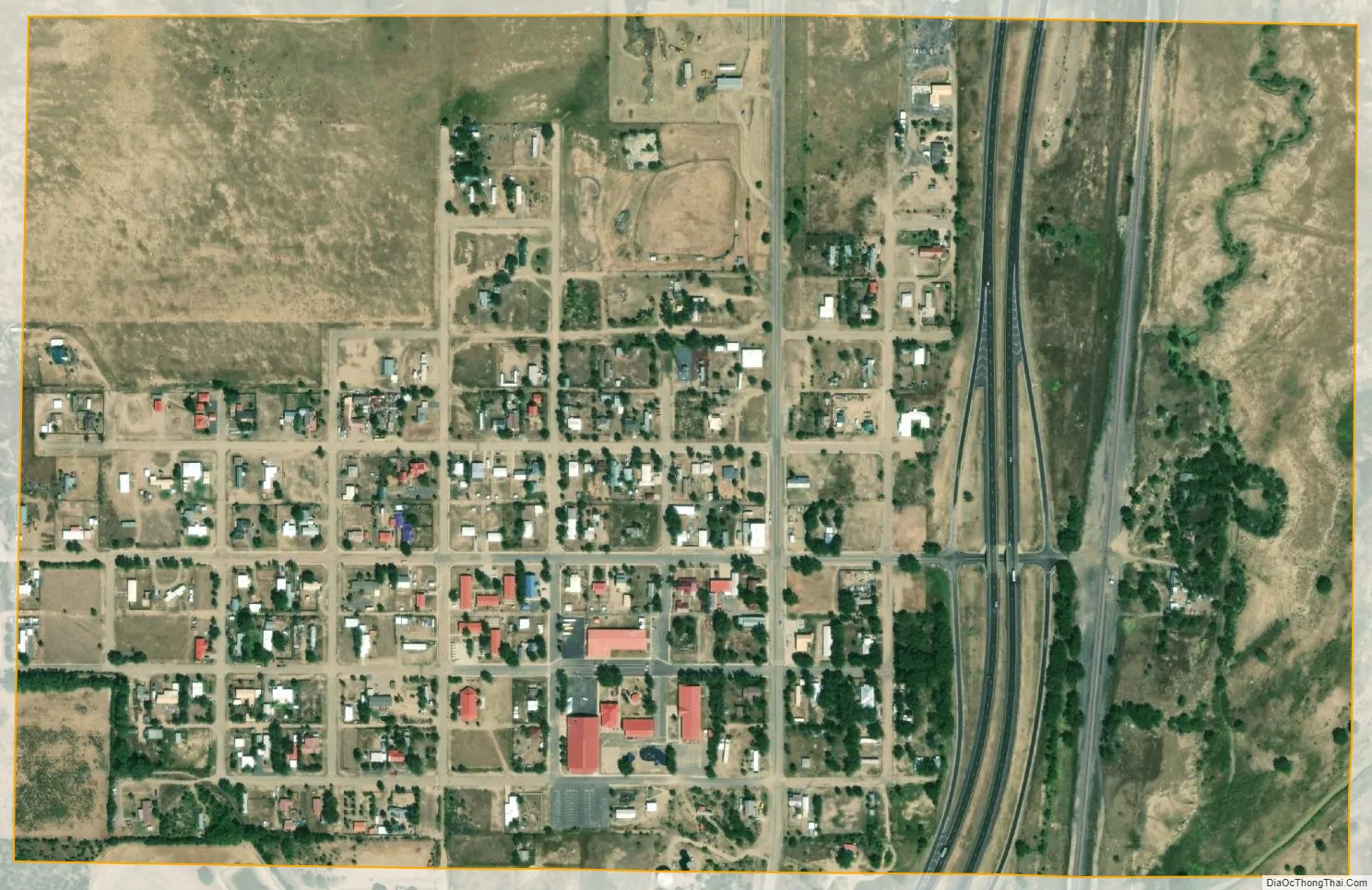
Maxwell city Satellite Map
Geography
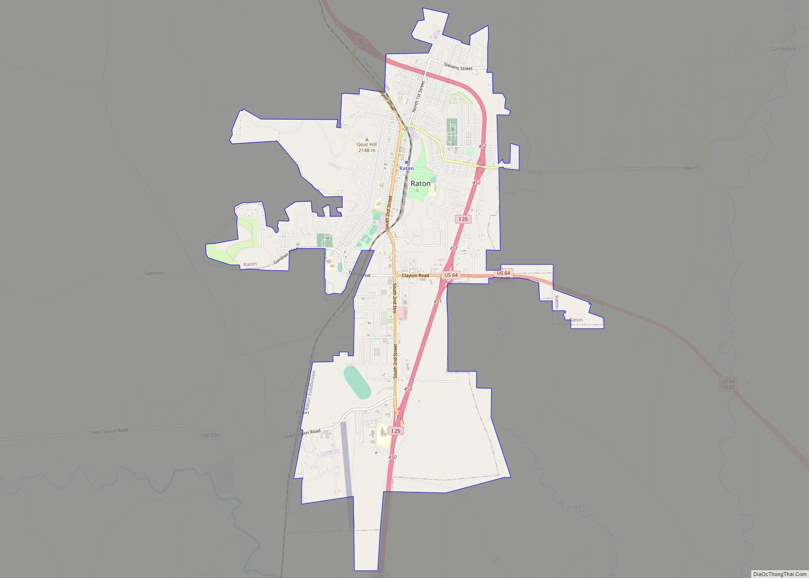
Maxwell is located near the center of Colfax County at 36°32′22″N 104°32′33″W / 36.53944°N 104.54250°W / 36.53944; -104.54250 (36.539487, -104.542630), in the valley of the Canadian River. Interstate 25 passes through the east side of the village, with access from Exit 426. I-25 leads north 26 miles (42 km) to Raton, the Colfax County seat, and southwest 81 miles (130 km) to Las Vegas.
According to the United States Census Bureau, the village has a total area of 0.47 square miles (1.23 km), all land.
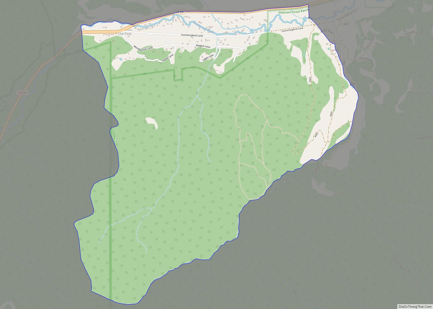
The United States Fish and Wildlife Service manages the Maxwell National Wildlife Refuge, located 2 miles (3 km) northwest of the village. The refuge offers excellent birding opportunities during the spring and fall migrations. It consists of several lakes, fields and woodlots managed for birds and the areas other wildlife.
See also
Map of New Mexico State and its subdivision: Map of other states:- Alabama
- Alaska
- Arizona
- Arkansas
- California
- Colorado
- Connecticut
- Delaware
- District of Columbia
- Florida
- Georgia
- Hawaii
- Idaho
- Illinois
- Indiana
- Iowa
- Kansas
- Kentucky
- Louisiana
- Maine
- Maryland
- Massachusetts
- Michigan
- Minnesota
- Mississippi
- Missouri
- Montana
- Nebraska
- Nevada
- New Hampshire
- New Jersey
- New Mexico
- New York
- North Carolina
- North Dakota
- Ohio
- Oklahoma
- Oregon
- Pennsylvania
- Rhode Island
- South Carolina
- South Dakota
- Tennessee
- Texas
- Utah
- Vermont
- Virginia
- Washington
- West Virginia
- Wisconsin
- Wyoming