Puerto de Luna is a census-designated place (CDP) in Guadalupe County, New Mexico, United States. It lies approximately 9+1⁄2 miles (15.3 km) south-southeast of Santa Rosa on New Mexico State Road 91 and on the bank of the Pecos River. The community is located west of, but not within, the Llano Estacado of Eastern New Mexico and West Texas.
The population was 141 at the 2010 census.
| Name: | Puerto de Luna CDP |
|---|---|
| LSAD Code: | 57 |
| LSAD Description: | CDP (suffix) |
| State: | New Mexico |
| County: | Guadalupe County |
| Elevation: | 4,495 ft (1,370 m) |
| Total Area: | 14.19 sq mi (36.75 km²) |
| Land Area: | 14.19 sq mi (36.75 km²) |
| Water Area: | 0.00 sq mi (0.00 km²) |
| Total Population: | 155 |
| Population Density: | 10.92/sq mi (4.22/km²) |
| ZIP code: | 88435 |
| Area code: | 575 |
| FIPS code: | 3560170 |
Online Interactive Map
Click on ![]() to view map in "full screen" mode.
to view map in "full screen" mode.
Puerto de Luna location map. Where is Puerto de Luna CDP?
History
The site is reputed to have been visited by Francisco Vásquez de Coronado, who is believed to have camped here in 1541, on his way east in search of Quivira.
The first recorded permanent settlement was in 1863 when six Hispanic families built a dike on the Pecos to divert water for irrigation and began land cultivation. A post office was established in 1873. A notable settler was Padre Polaco, a.k.a. Alexander Grzelachowski, who originally came to New Mexico at age 27 with Archbishop Lamy and settled in Puerto de Luna in 1874, opening up the mercantile store. In 1891, he donated the land for the county courthouse. and the community became the county seat of Guadalupe County. The community was, however, overtaken by Santa Rosa when the railroad arrived there, and went into decline shortly after. The county seat was moved to Santa Rosa in 1903.
Billy the Kid reportedly ate his last Christmas Eve dinner here in 1880 while being transported to trial in Las Vegas in the custody of Pat Garrett.
The author Rudolfo Anaya references Puerto De Luna in his autobiographical novel Bless Me, Ultima.
The author Calvin Rutstrum bought, renovated and lived in a house here in the 1960s. His book Greenhorns in the Southwest (University of New Mexico Press, 1972) is a semi-autobiographical account of that period.
The roofless shell of the county courthouse remains the largest edifice.
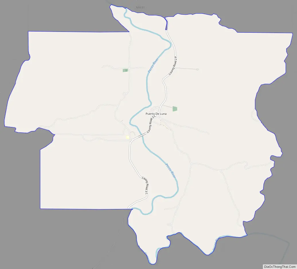
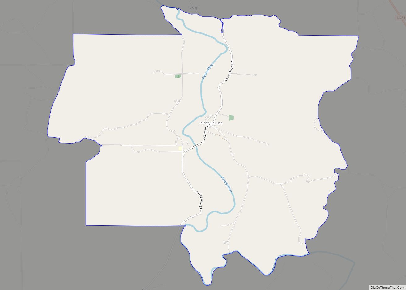
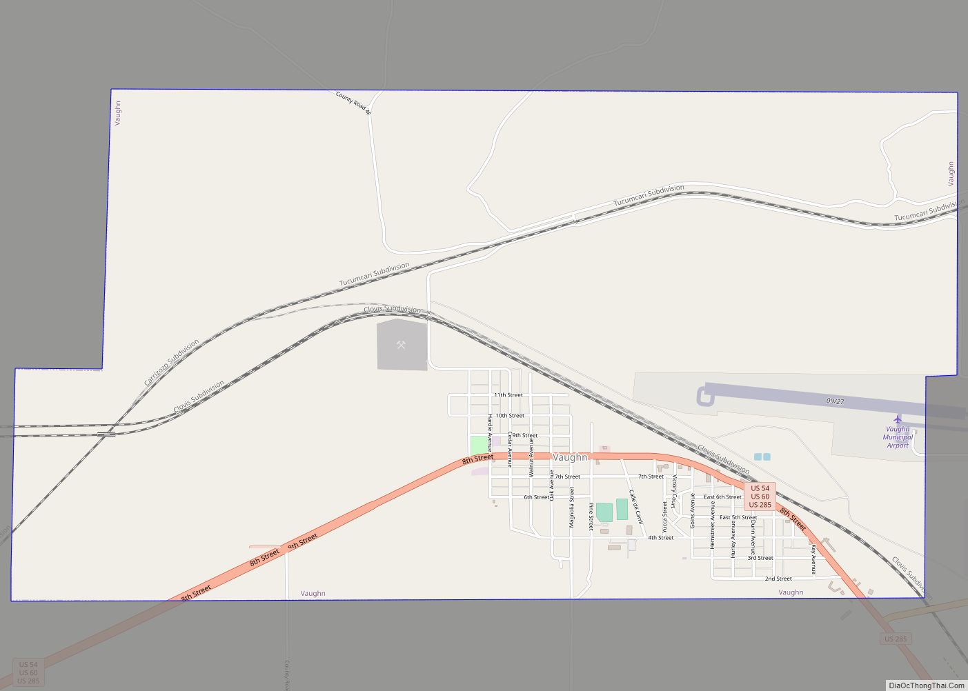
Puerto de Luna Road Map
Puerto de Luna city Satellite Map
See also
Map of New Mexico State and its subdivision: Map of other states:- Alabama
- Alaska
- Arizona
- Arkansas
- California
- Colorado
- Connecticut
- Delaware
- District of Columbia
- Florida
- Georgia
- Hawaii
- Idaho
- Illinois
- Indiana
- Iowa
- Kansas
- Kentucky
- Louisiana
- Maine
- Maryland
- Massachusetts
- Michigan
- Minnesota
- Mississippi
- Missouri
- Montana
- Nebraska
- Nevada
- New Hampshire
- New Jersey
- New Mexico
- New York
- North Carolina
- North Dakota
- Ohio
- Oklahoma
- Oregon
- Pennsylvania
- Rhode Island
- South Carolina
- South Dakota
- Tennessee
- Texas
- Utah
- Vermont
- Virginia
- Washington
- West Virginia
- Wisconsin
- Wyoming


