Kewa Pueblo (Eastern Keres [kʰewɑ], Keres: Díiwʾi, Navajo: Tó Hájiiloh) is a federally-recognized tribe of Native American Pueblo people in northern New Mexico, in Sandoval County southwest of Santa Fe. The pueblo is recorded as the Santo Domingo Pueblo census-designated place by the U.S. Census Bureau, with a population of 2,456 at the 2010 census.
The population of the pueblo is composed of Native Americans who speak Keres, an eastern dialect of the Keresan languages. Like several other Pueblo peoples, they have a matrilineal kinship system, in which children are considered born into the mother’s family and clan, and inheritance and property pass through the maternal line. The pueblo celebrates an annual feast day on August 4 to honor their patron saint, Saint Dominic. More than 2,000 pueblo people participate in the traditional corn dances held at this time.
| Name: | Santo Domingo Pueblo CDP |
|---|---|
| LSAD Code: | 57 |
| LSAD Description: | CDP (suffix) |
| State: | New Mexico |
| County: | Sandoval County |
| FIPS code: | 3570810 |
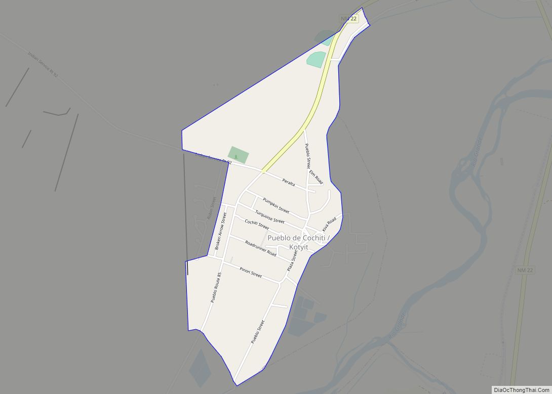
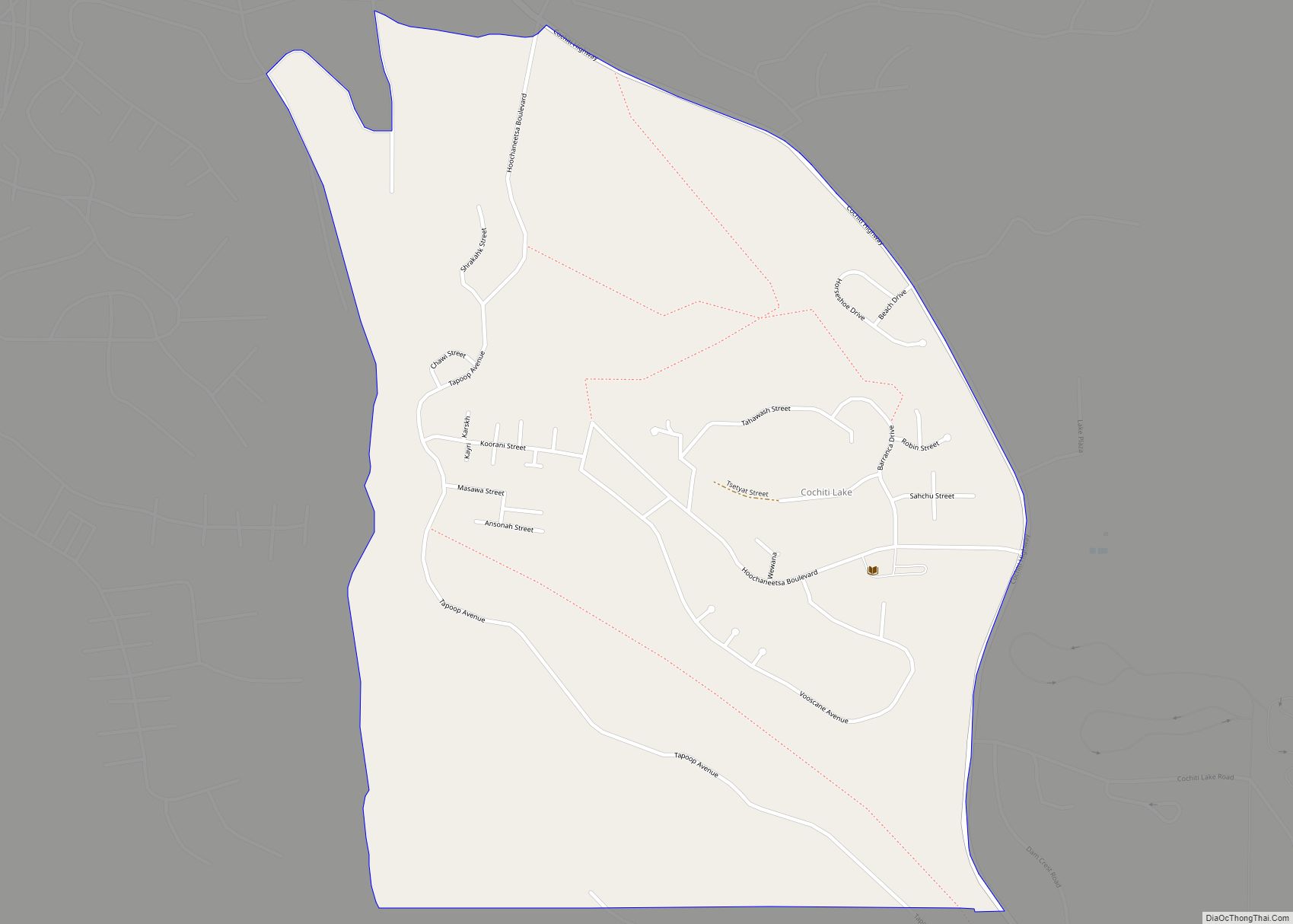
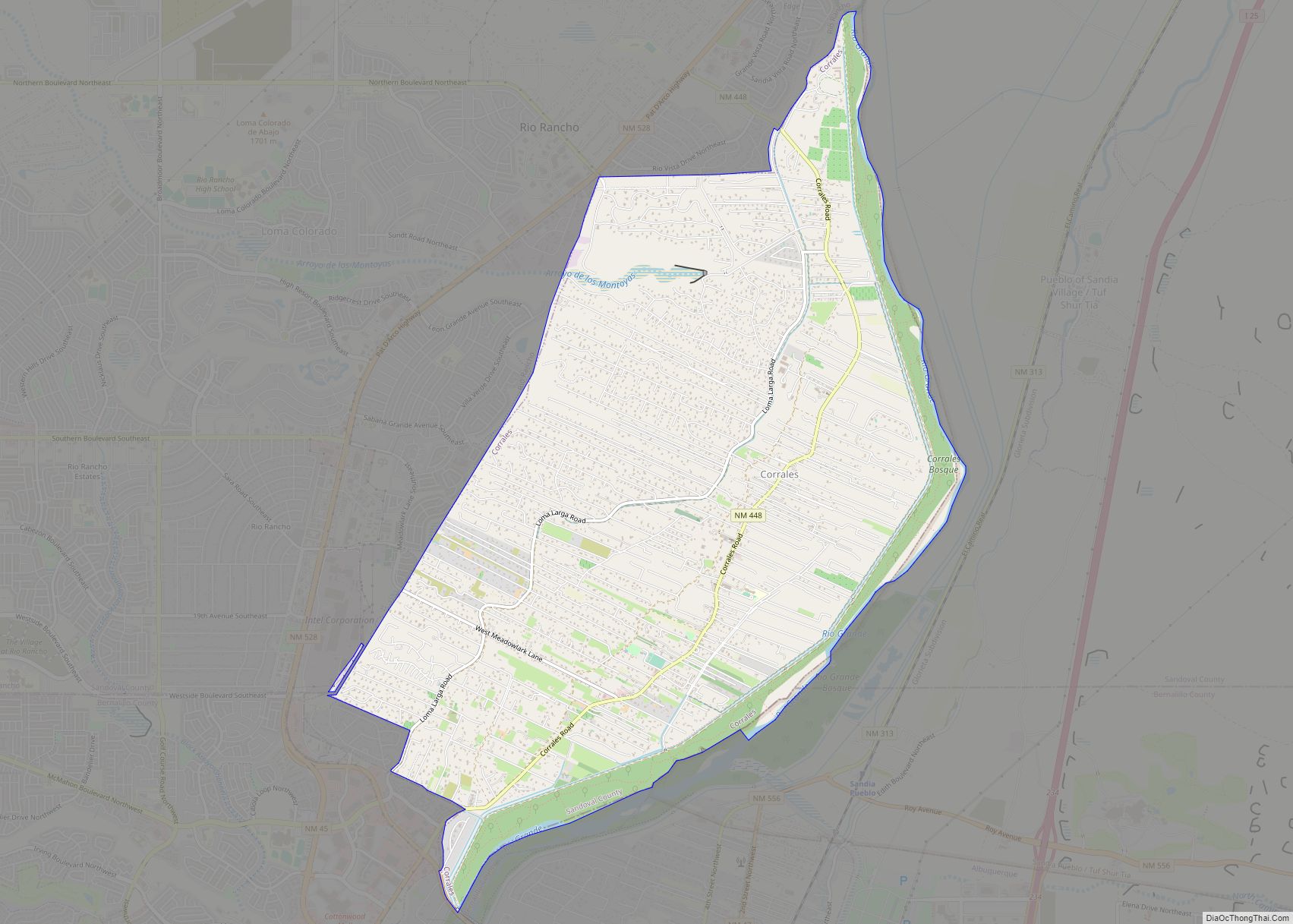
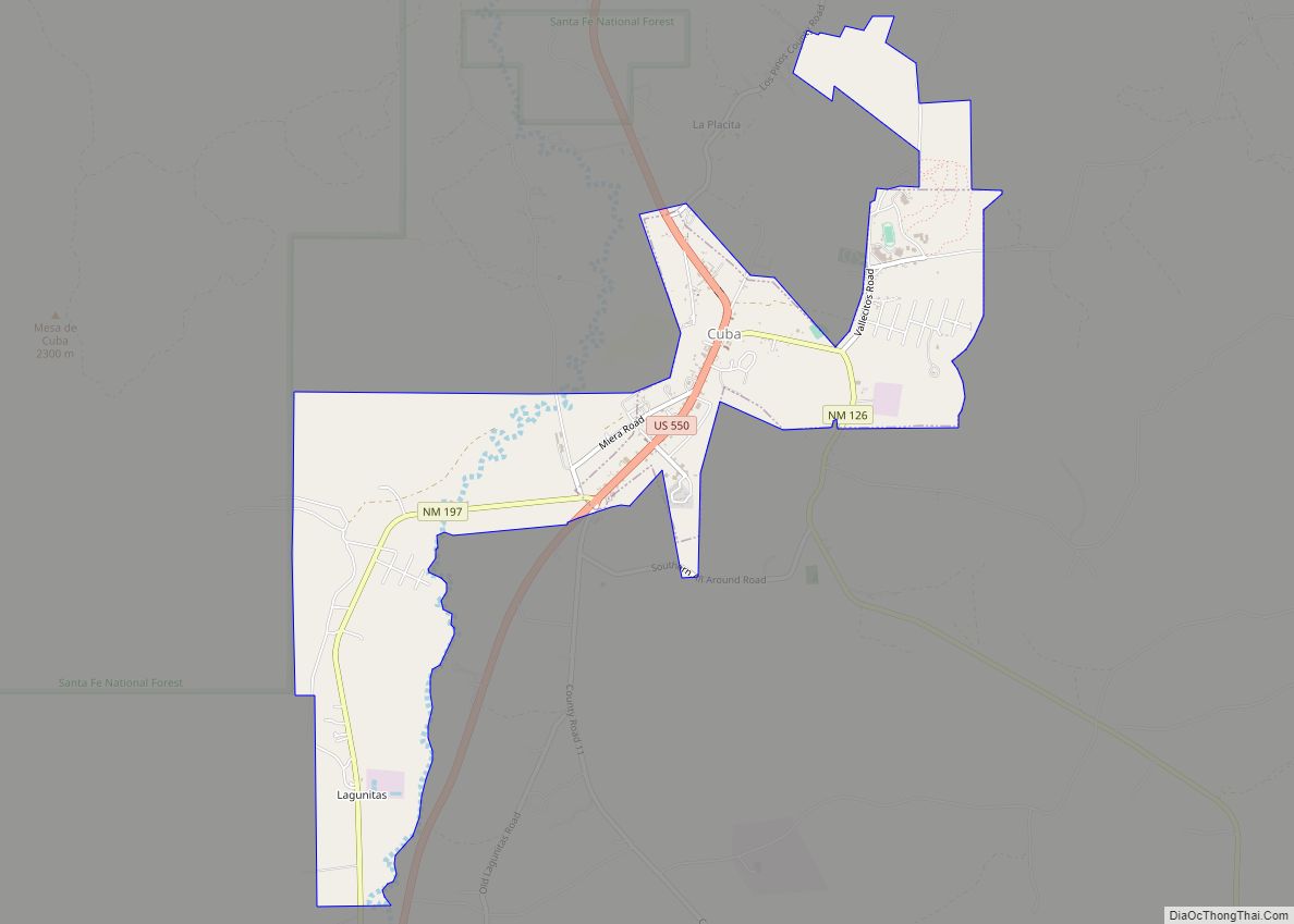
Online Interactive Map
Click on ![]() to view map in "full screen" mode.
to view map in "full screen" mode.
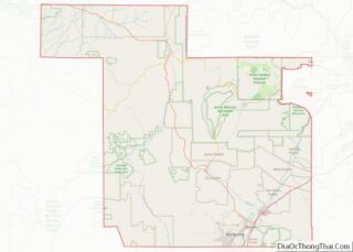
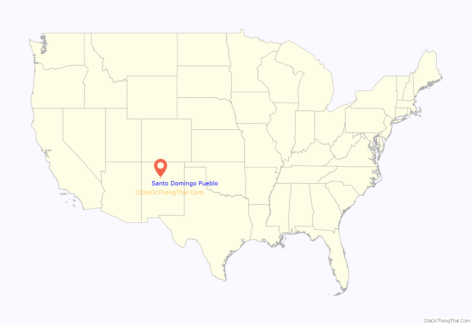
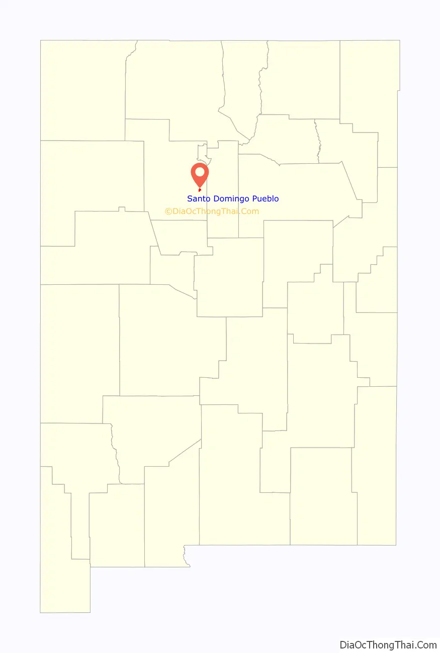
Santo Domingo Pueblo location map. Where is Santo Domingo Pueblo CDP?
History
The pueblo plays a supporting role in Spanish colonial history. Gaspar Castaño de Sosa, a fugitive from the Crown, was arrested at the pueblo in March 1591. Castaño, a notorious slaver, had fled capture. He pursued an illegal claims expedition up the Pecos River, which had not yet been seen by Europeans. He made it as far as Pecos Pueblo, and raided it for slaves. He turned west and traveled toward modern-day Santa Fe, which had been established by the Spanish. He followed the Rio Grande river valley south. On orders of the Viceroy at Mexico City, Captain Juan Morlette found Castaño at Kewa Pueblo and arrested him. He returned him to authorities to face trial for his crimes, including his attack on Pecos Pueblo.
Castaño abandoned two interpreters at Kewa Pueblo; he had kidnapped them earlier and brought them with him. Governor Juan de Oñate’s expedition recorded encountering Tomas and Cristobal at Kewa Pueblo, as it traveled north.
20th century to present
Potters of Kewa and Cochiti Pueblos have made stylized pottery for centuries, developing styles for different purposes and expressing deep beliefs in their designs. Since the early decades of the 20th century, these pots have been appreciated by a wider audience outside the pueblos. Continuing to use traditional techniques, in the late 20th and early 21st centuries, potters have also expanded their designs and repertoire in pottery, which has an international market.
Santo Domingo Pueblo Road Map
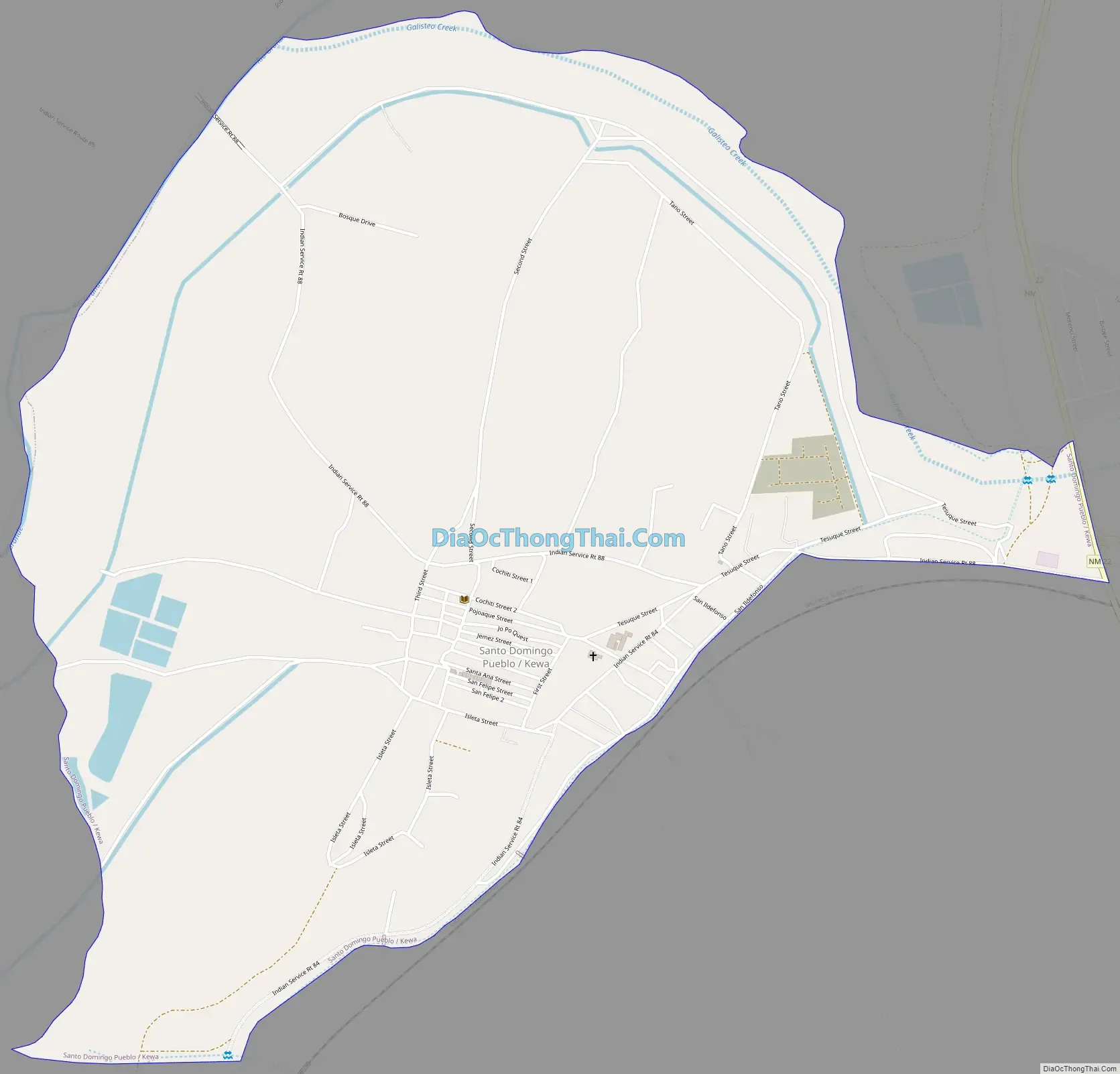
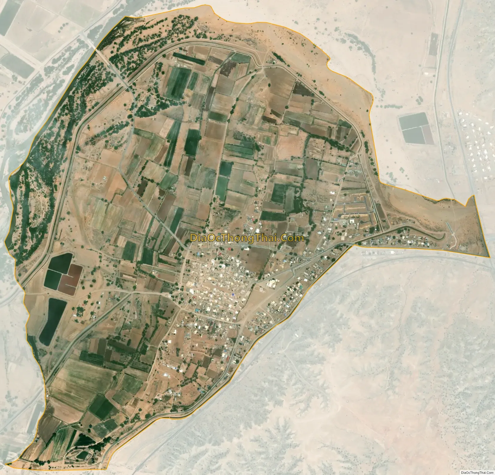
Santo Domingo Pueblo city Satellite Map
Geography
Kewa Pueblo is located at 35°30′52″N 106°21′48″W / 35.51444°N 106.36333°W / 35.51444; -106.36333 (35.514483, -106.363429). The pueblo is located approximately 25 miles (40 km) southwest of Santa Fe. Interstate 25 runs 4 miles (6 km) to the east of the community. The pueblo is part of the Albuquerque Metropolitan Statistical Area.
According to the United States Census Bureau, the Santo Domingo CDP that overlays the pueblo has a total area of 2.0 square miles (5.2 km), all land.
See also
Map of New Mexico State and its subdivision: Map of other states:- Alabama
- Alaska
- Arizona
- Arkansas
- California
- Colorado
- Connecticut
- Delaware
- District of Columbia
- Florida
- Georgia
- Hawaii
- Idaho
- Illinois
- Indiana
- Iowa
- Kansas
- Kentucky
- Louisiana
- Maine
- Maryland
- Massachusetts
- Michigan
- Minnesota
- Mississippi
- Missouri
- Montana
- Nebraska
- Nevada
- New Hampshire
- New Jersey
- New Mexico
- New York
- North Carolina
- North Dakota
- Ohio
- Oklahoma
- Oregon
- Pennsylvania
- Rhode Island
- South Carolina
- South Dakota
- Tennessee
- Texas
- Utah
- Vermont
- Virginia
- Washington
- West Virginia
- Wisconsin
- Wyoming