Tatum is a town in Lea County, New Mexico, United States. The population was 798 at the 2010 census, up from 683 in 2000.
| Name: | Tatum town |
|---|---|
| LSAD Code: | 43 |
| LSAD Description: | town (suffix) |
| State: | New Mexico |
| County: | Lea County |
| Elevation: | 3,996 ft (1,218 m) |
| Total Area: | 1.59 sq mi (4.12 km²) |
| Land Area: | 1.58 sq mi (4.11 km²) |
| Water Area: | 0.01 sq mi (0.02 km²) |
| Total Population: | 706 |
| Population Density: | 445.43/sq mi (171.96/km²) |
| ZIP code: | 88213, 88267 |
| Area code: | 575 |
| FIPS code: | 3576620 |
| GNISfeature ID: | 2413367 |
| Website: | townoftatum.org |
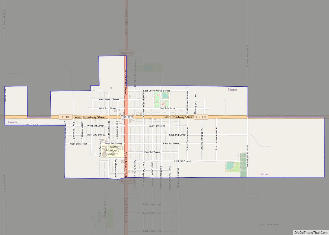
Online Interactive Map
Click on ![]() to view map in "full screen" mode.
to view map in "full screen" mode.
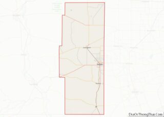
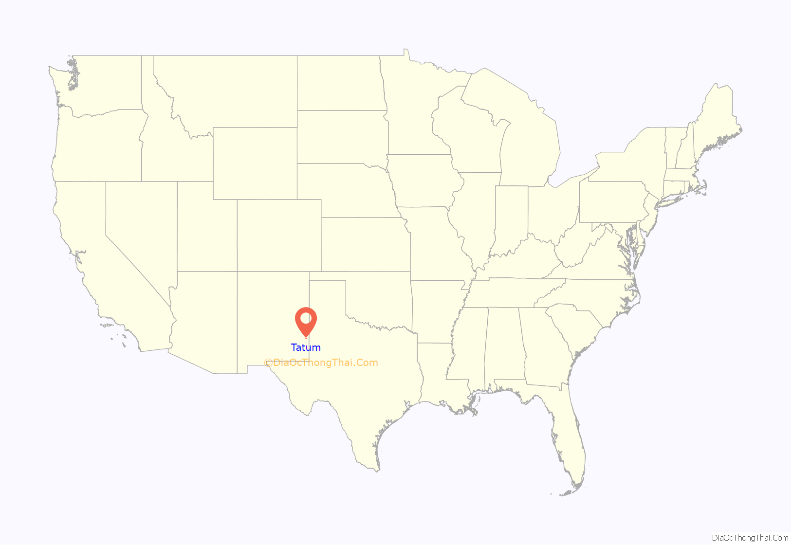
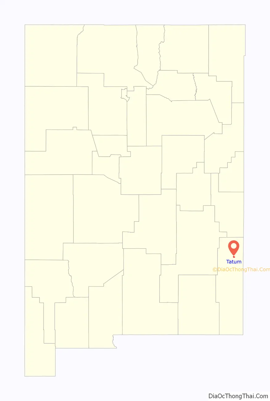
Tatum location map. Where is Tatum town?
Tatum Road Map
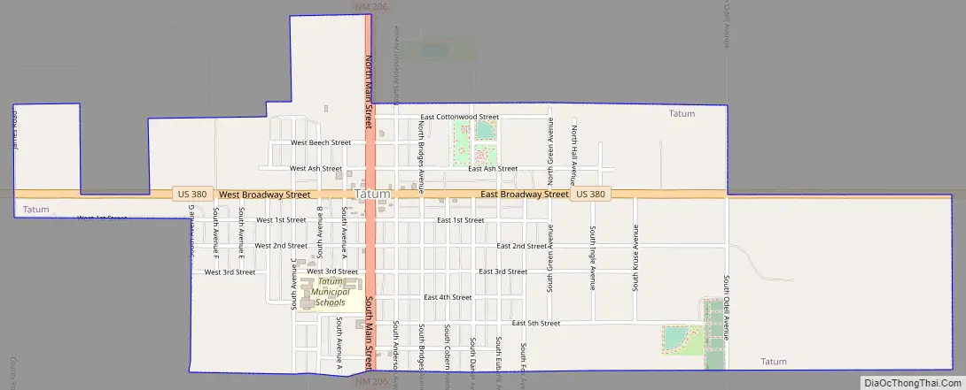
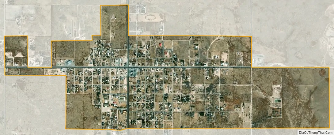
Tatum city Satellite Map
Geography
Tatum is located in northern Lea County. U.S. Route 380 passes through the town, leading west 72 miles (116 km) to Roswell and east 30 miles (48 km) to Plains, Texas. New Mexico State Road 206 crosses US 380 in the center of Tatum, leading north 65 miles (105 km) to Portales and south 22 miles (35 km) to Lovington, the Lea county seat.
According to the United States Census Bureau, Tatum has a total area of 1.6 square miles (4.1 km), of which 0.01 square miles (0.02 km), or 0.47%, are water.
See also
Map of New Mexico State and its subdivision: Map of other states:- Alabama
- Alaska
- Arizona
- Arkansas
- California
- Colorado
- Connecticut
- Delaware
- District of Columbia
- Florida
- Georgia
- Hawaii
- Idaho
- Illinois
- Indiana
- Iowa
- Kansas
- Kentucky
- Louisiana
- Maine
- Maryland
- Massachusetts
- Michigan
- Minnesota
- Mississippi
- Missouri
- Montana
- Nebraska
- Nevada
- New Hampshire
- New Jersey
- New Mexico
- New York
- North Carolina
- North Dakota
- Ohio
- Oklahoma
- Oregon
- Pennsylvania
- Rhode Island
- South Carolina
- South Dakota
- Tennessee
- Texas
- Utah
- Vermont
- Virginia
- Washington
- West Virginia
- Wisconsin
- Wyoming