Zia Pueblo (Eastern Keres: Tsi’ya, Ts’iiy’a , Spanish: Pueblo de Zía) is a census-designated place (CDP) in Sandoval County, New Mexico, United States. The population was 646 at the 2000 census, with 310 males and 336 females. The pueblo after which the CDP is named is included within the CDP; it is listed on the National Register of Historic Places.
Zia Pueblo is part of the Albuquerque Metropolitan Statistical Area.
| Name: | Zia Pueblo CDP |
|---|---|
| LSAD Code: | 57 |
| LSAD Description: | CDP (suffix) |
| State: | New Mexico |
| County: | Sandoval County |
| Elevation: | 5,472 ft (1,668 m) |
| Total Area: | 27.08 sq mi (70.12 km²) |
| Land Area: | 27.03 sq mi (70.01 km²) |
| Water Area: | 0.04 sq mi (0.12 km²) |
| Total Population: | 760 |
| Population Density: | 28.12/sq mi (10.86/km²) |
| ZIP code: | 87053 |
| Area code: | 505 |
| FIPS code: | 3586420 |
| GNISfeature ID: | 0928840 |
Online Interactive Map
Click on ![]() to view map in "full screen" mode.
to view map in "full screen" mode.
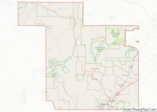
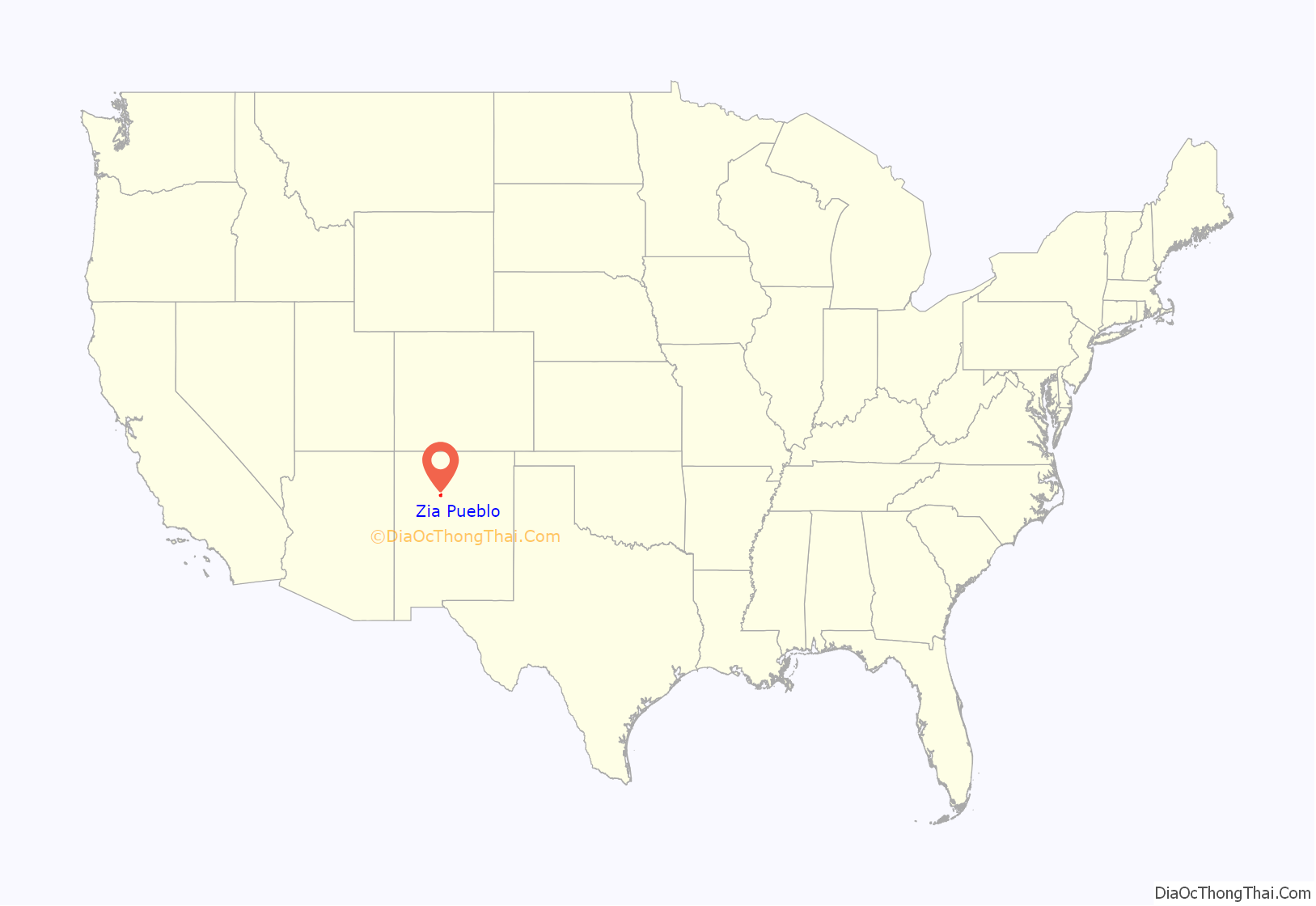
Zia Pueblo location map. Where is Zia Pueblo CDP?
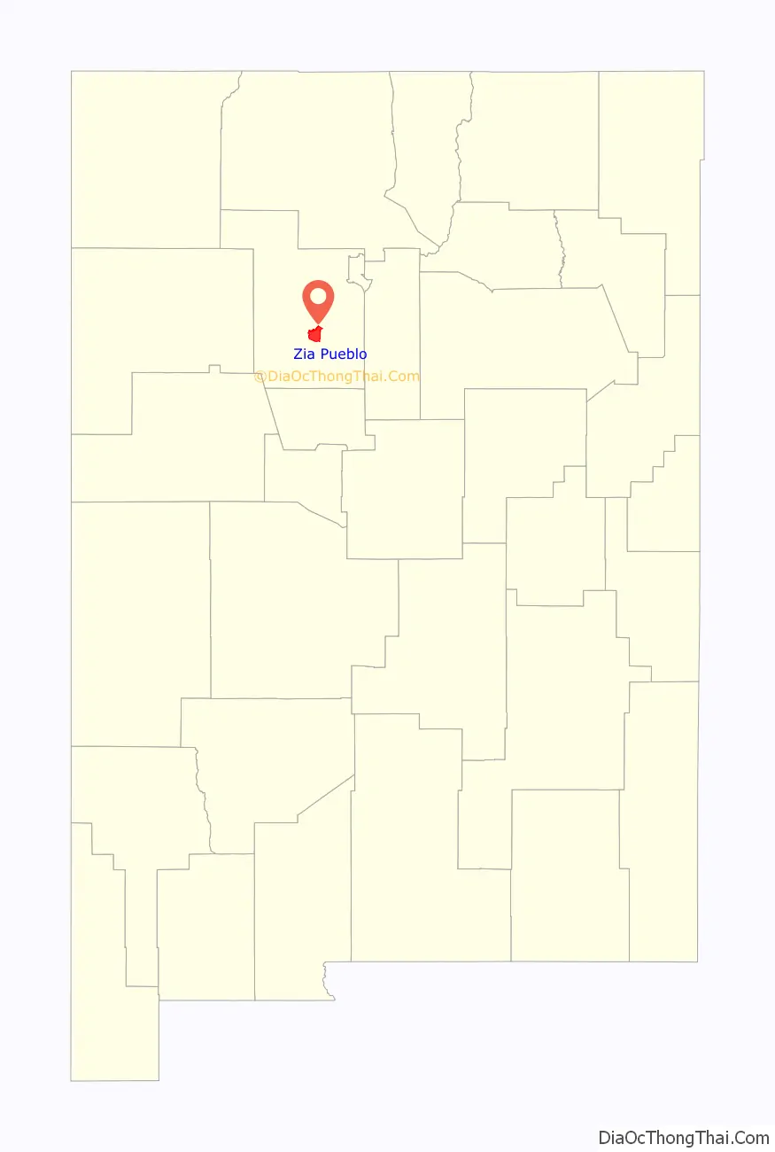
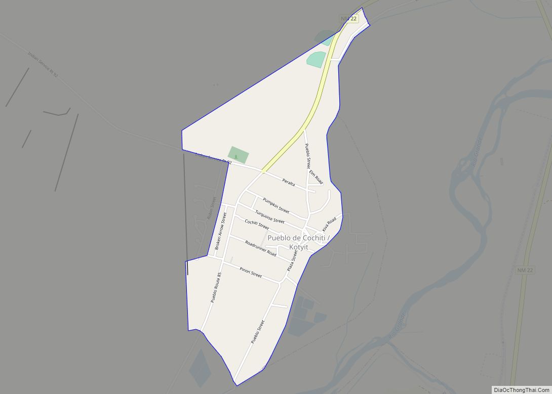
Zia Pueblo Road Map
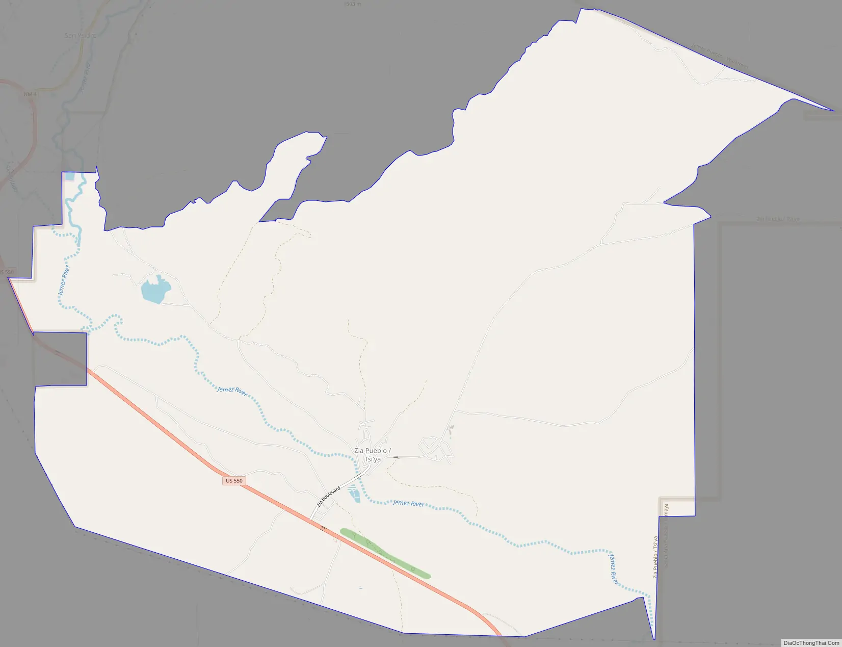
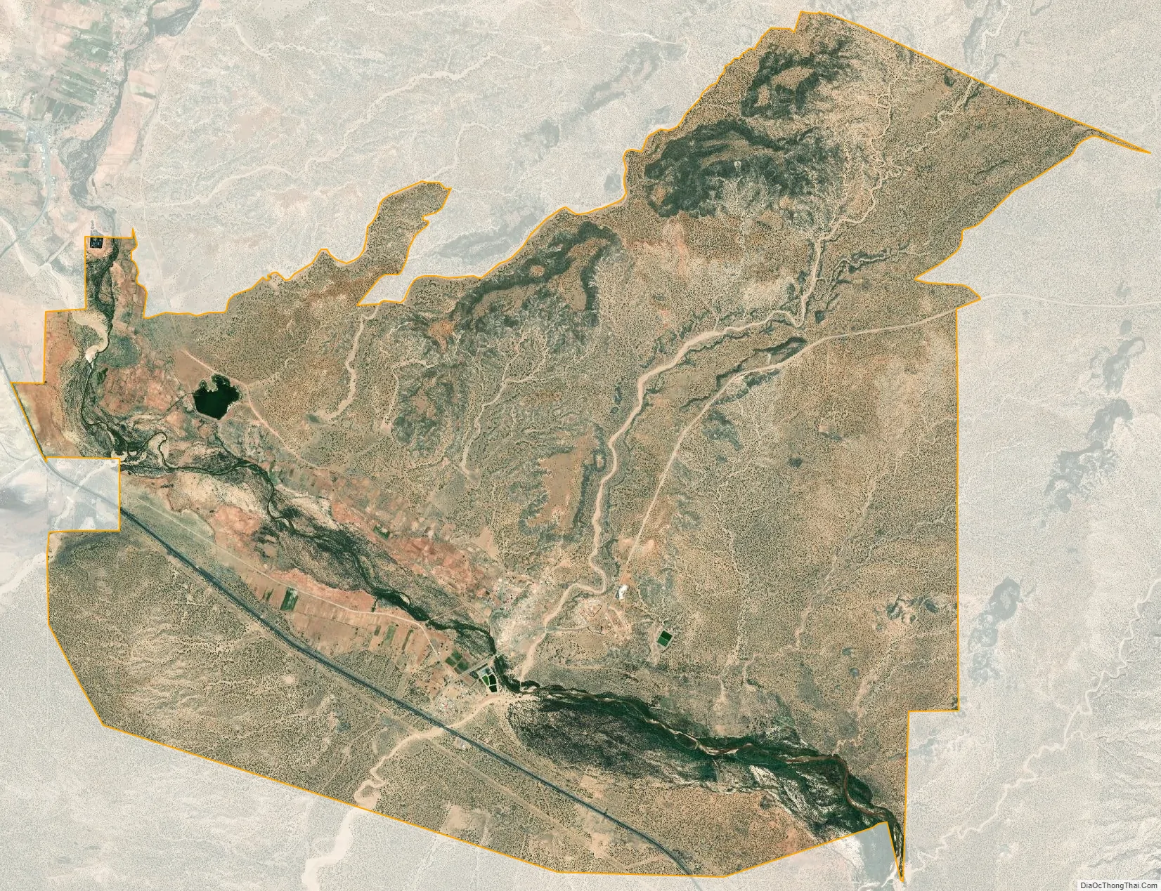
Zia Pueblo city Satellite Map
Geography
According to the United States Census Bureau, the CDP has a total area of 27.3 square miles (70.8 km), of which 27.3 square miles (70.7 km) is land and 0.04 square mile (0.1 km) (0.15%) is water.
See also
Map of New Mexico State and its subdivision: Map of other states:- Alabama
- Alaska
- Arizona
- Arkansas
- California
- Colorado
- Connecticut
- Delaware
- District of Columbia
- Florida
- Georgia
- Hawaii
- Idaho
- Illinois
- Indiana
- Iowa
- Kansas
- Kentucky
- Louisiana
- Maine
- Maryland
- Massachusetts
- Michigan
- Minnesota
- Mississippi
- Missouri
- Montana
- Nebraska
- Nevada
- New Hampshire
- New Jersey
- New Mexico
- New York
- North Carolina
- North Dakota
- Ohio
- Oklahoma
- Oregon
- Pennsylvania
- Rhode Island
- South Carolina
- South Dakota
- Tennessee
- Texas
- Utah
- Vermont
- Virginia
- Washington
- West Virginia
- Wisconsin
- Wyoming