Santa Clara is a city in Washington County, Utah, United States and is a part of the St. George Metropolitan Area. The population was 7,553 at the 2020 census, up from 6,003 at the 2010 census, and 4,630 at the 2000 census. The city is a western suburb of St. George.
| Name: | Santa Clara city |
|---|---|
| LSAD Code: | 25 |
| LSAD Description: | city (suffix) |
| State: | Utah |
| County: | Washington County |
| Elevation: | 2,759 ft (841 m) |
| Total Area: | 6.13 sq mi (15.87 km²) |
| Land Area: | 6.12 sq mi (15.85 km²) |
| Water Area: | 0.01 sq mi (0.01 km²) |
| Total Population: | 7,553 |
| Population Density: | 1,375.33/sq mi (531.03/km²) |
| ZIP code: | 84765 |
| Area code: | 435 |
| FIPS code: | 4967660 |
| GNISfeature ID: | 1432234 |
| Website: | https://sccity.org/ |
Online Interactive Map
Click on ![]() to view map in "full screen" mode.
to view map in "full screen" mode.
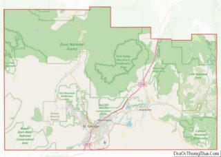
Santa Clara location map. Where is Santa Clara city?


History
In 1854, Jacob Hamblin was called by Brigham Young to serve a mission to the southern Paiute and settled at Santa Clara in the vicinity of the modern city of St. George, Utah. The town is among the oldest in the area.
The first settlers built Fort Clara or Fort Santa Clara, in the winter of 1855–1856. In the fall of 1861, Swiss Mormon colonists arrived at the new settlement. Shortly afterward, in early 1862, they were victims of a severe flood in the Santa Clara River that destroyed the fort and most other buildings, along with irrigation dams and ditches. This event was part of the Great Flood of 1862.
Hamblin’s first home in Santa Clara was destroyed in the flood. His second wife Rachael saved one of their young children from drowning, but the child soon after died from exposure. Rachael never fully recovered from exposure she suffered during the flood. Swearing to avoid such a risk again, Hamblin built a new home on a hill in Santa Clara. It is owned today by the Church of Jesus Christ of Latter-day Saints (LDS Church), which operates it as a house museum. Mormon missionaries give daily tours.
19th-century Santa Clara was largely inhabited by Mormon immigrants from Switzerland. Among these was Daniel Bonelli, who after the 1862 flood became a pioneer colonist of St. Thomas, Nevada in the Moapa Valley. He was a farmer, salt miner, and owner of Bonelli’s Ferry, at Rioville, Nevada. This was on the road between southwestern Utah and Arizona, at the confluence of the Virgin River and the Colorado River.
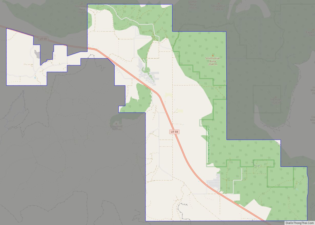
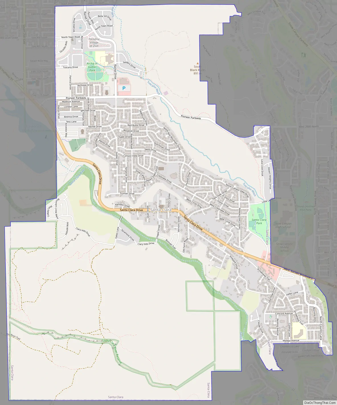
Santa Clara Road Map
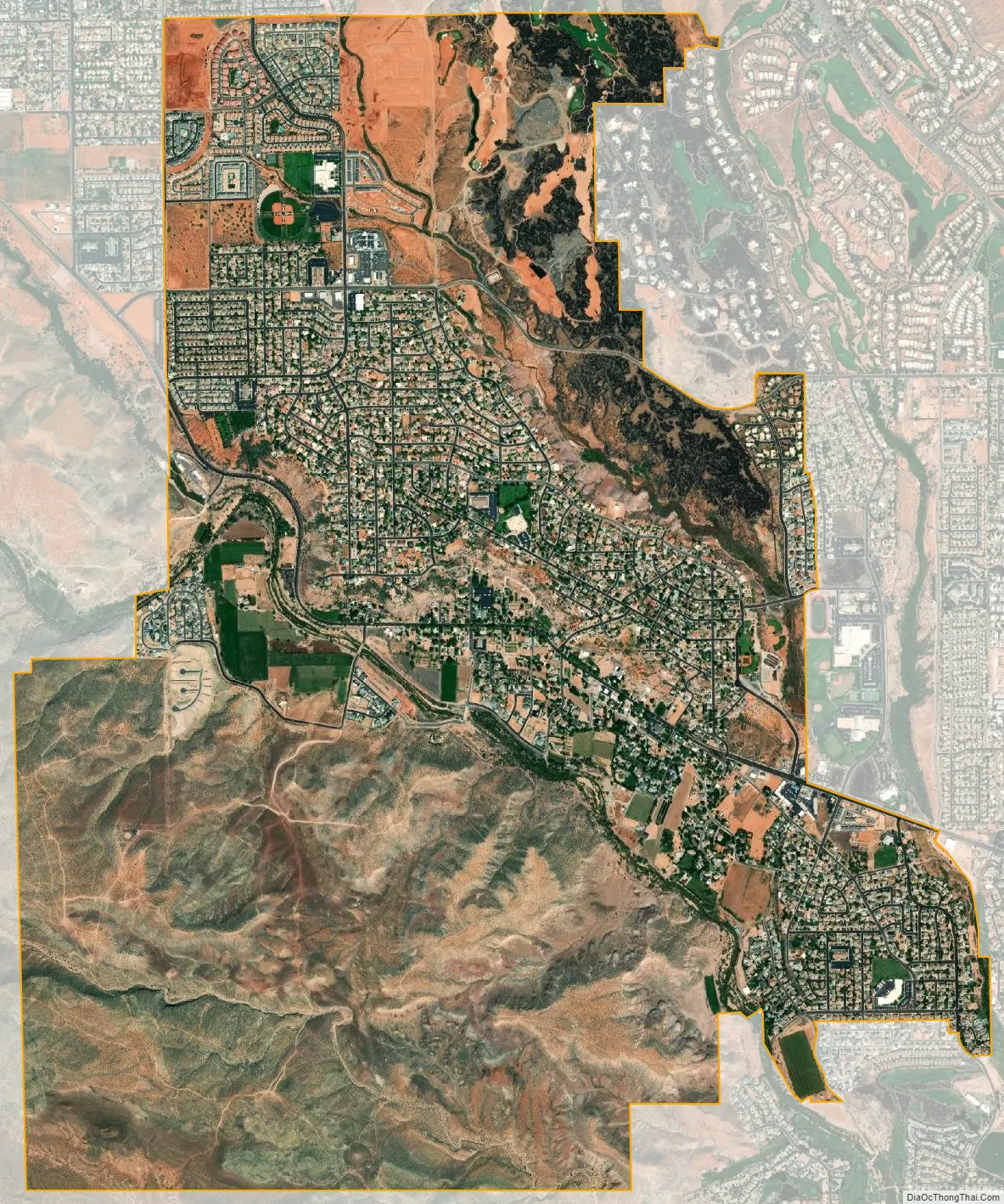
Santa Clara city Satellite Map
Geography
According to the United States Census Bureau, the city has a total area of 4.9 square miles (12.7 km), of which 4.9 square miles (12.6 km) is land and 0.04 square mile (0.1 km) (0.41%) is water.
See also
Map of Utah State and its subdivision: Map of other states:- Alabama
- Alaska
- Arizona
- Arkansas
- California
- Colorado
- Connecticut
- Delaware
- District of Columbia
- Florida
- Georgia
- Hawaii
- Idaho
- Illinois
- Indiana
- Iowa
- Kansas
- Kentucky
- Louisiana
- Maine
- Maryland
- Massachusetts
- Michigan
- Minnesota
- Mississippi
- Missouri
- Montana
- Nebraska
- Nevada
- New Hampshire
- New Jersey
- New Mexico
- New York
- North Carolina
- North Dakota
- Ohio
- Oklahoma
- Oregon
- Pennsylvania
- Rhode Island
- South Carolina
- South Dakota
- Tennessee
- Texas
- Utah
- Vermont
- Virginia
- Washington
- West Virginia
- Wisconsin
- Wyoming