Spring Valley is an unincorporated town and census-designated place in Clark County, Nevada, United States, located 2 miles (3 km) west of the Las Vegas Strip. The population was 215,597 at the 2020 census. Spring Valley was formed in May 1981.
| Name: | Spring Valley CDP |
|---|---|
| LSAD Code: | 57 |
| LSAD Description: | CDP (suffix) |
| State: | Nevada |
| County: | Clark County |
| Founded: | May 1981; 42 years ago (1981-05) |
| Elevation: | 2,365 ft (721 m) |
| Total Area: | 35.51 sq mi (91.96 km²) |
| Land Area: | 35.51 sq mi (91.96 km²) |
| Water Area: | 0.00 sq mi (0.00 km²) |
| Total Population: | 215,597 |
| Population Density: | 6,072.30/sq mi (2,344.51/km²) |
| Area code: | 702 and 725 |
| FIPS code: | 3268585 |
| GNISfeature ID: | 1867350 |
| Website: | sites.google.com/view/springvalley |
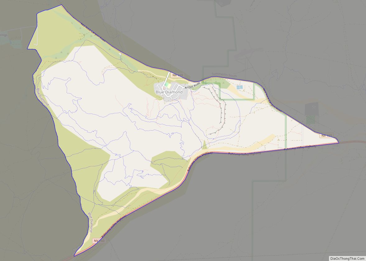
Online Interactive Map
Click on ![]() to view map in "full screen" mode.
to view map in "full screen" mode.
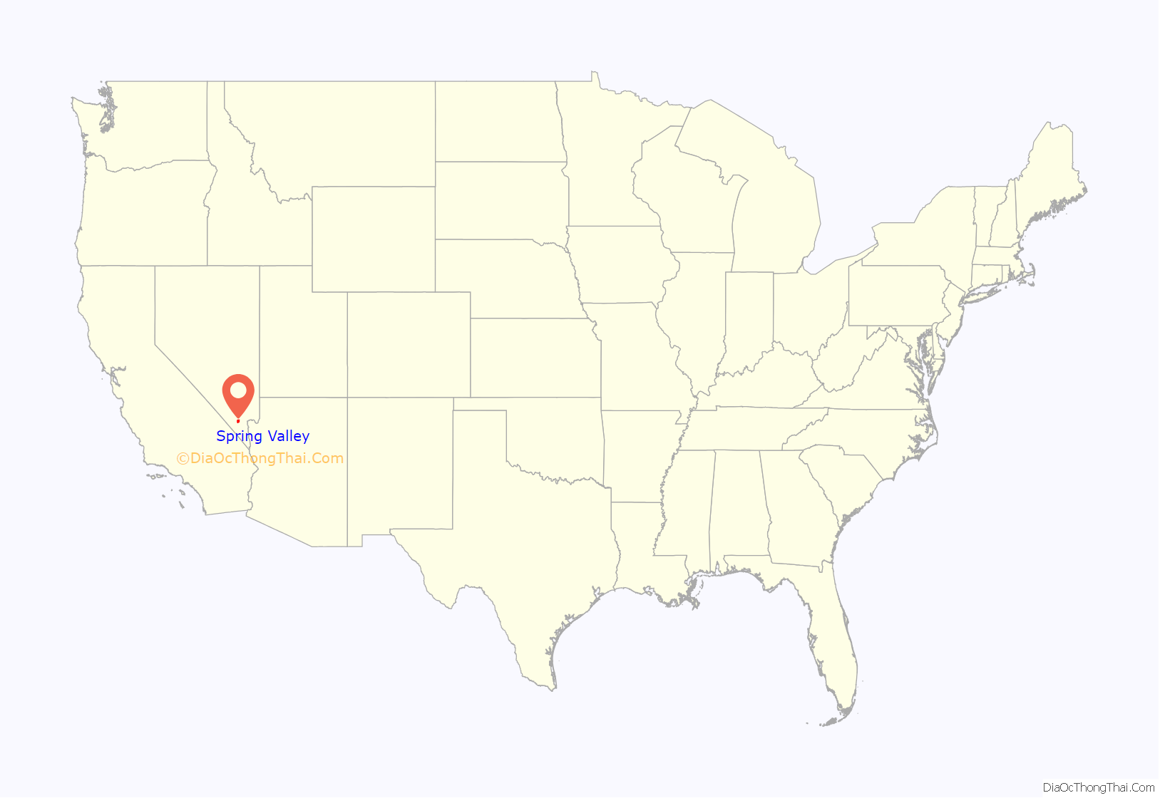
Spring Valley location map. Where is Spring Valley CDP?

History
In 1965, the Stardust International Raceway was built by the Stardust Resort and Casino. In 1969, the Stardust was sold to the Parvin-Dohrmann Corporation, which had little interest in the raceway and then leased it until 1970, when Pardee Homes purchased the land. They began developing a master-planned housing community called Spring Valley. The community was named by Doug Pardee and sales manager Jack Whiteman, in reference to its views of the Spring Mountains and its location in the Las Vegas Valley. In 1981, residents grouped together to solicit the Clark County Commission to create an unincorporated town, which it did that May. The residents wanted to create the town due to hypothetical annexations into other communities in the Las Vegas Valley, and because they claimed they did not pay their taxes fairly for county services. The town originally encompassed 1 square mile (3 km), but now occupies much of the southwest quarter of the Las Vegas Valley, totaling 33.4 square miles (90 km).
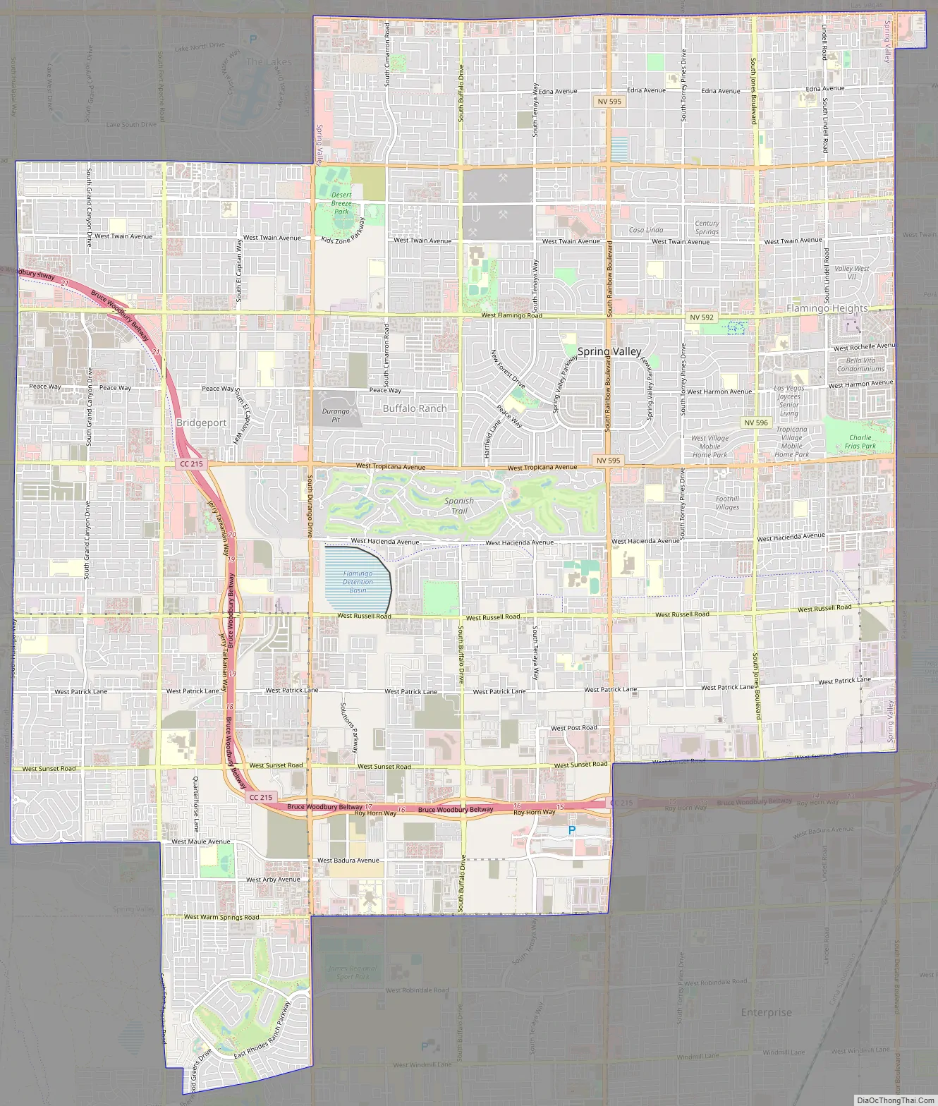
Spring Valley Road Map
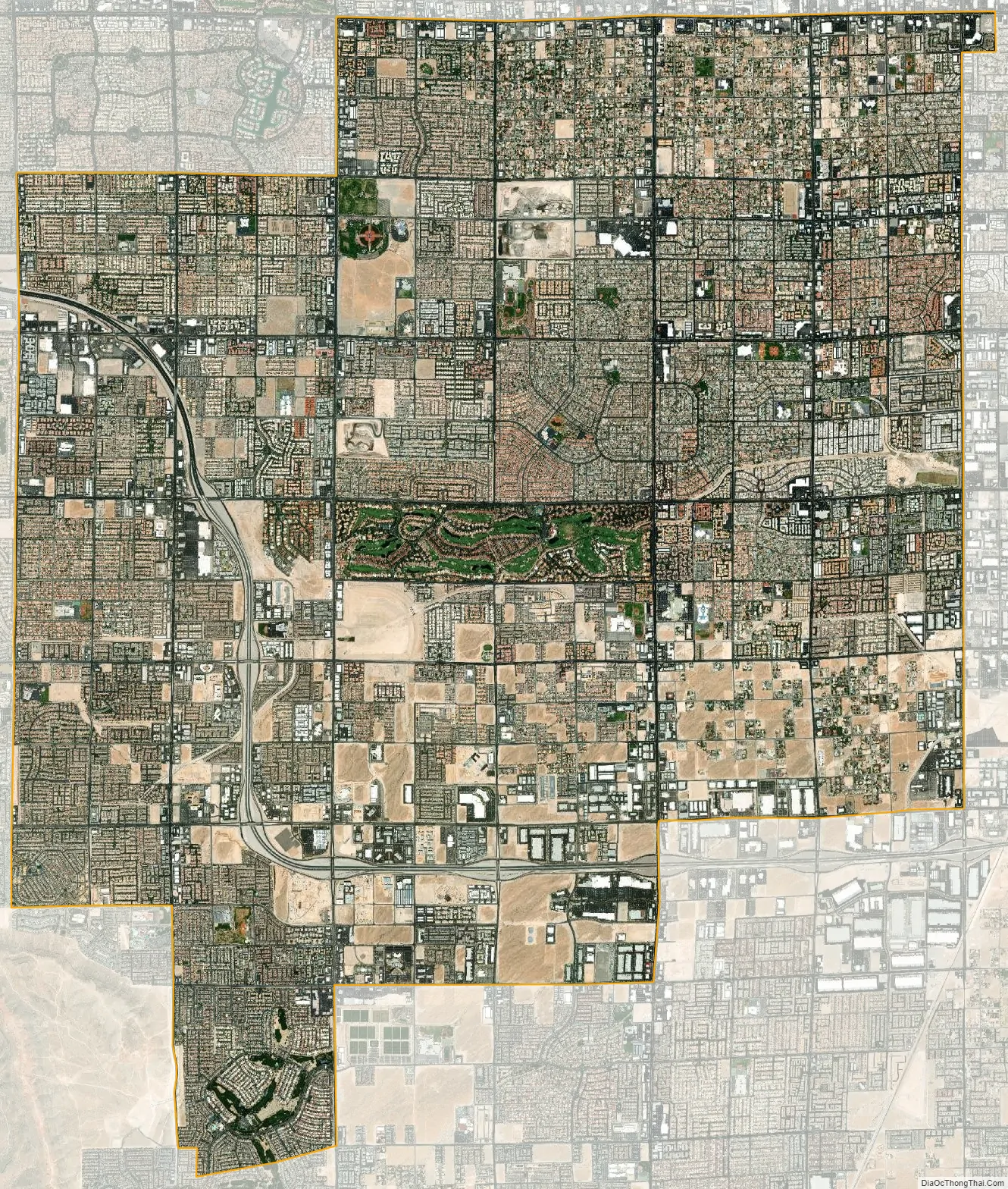
Spring Valley city Satellite Map
Geography
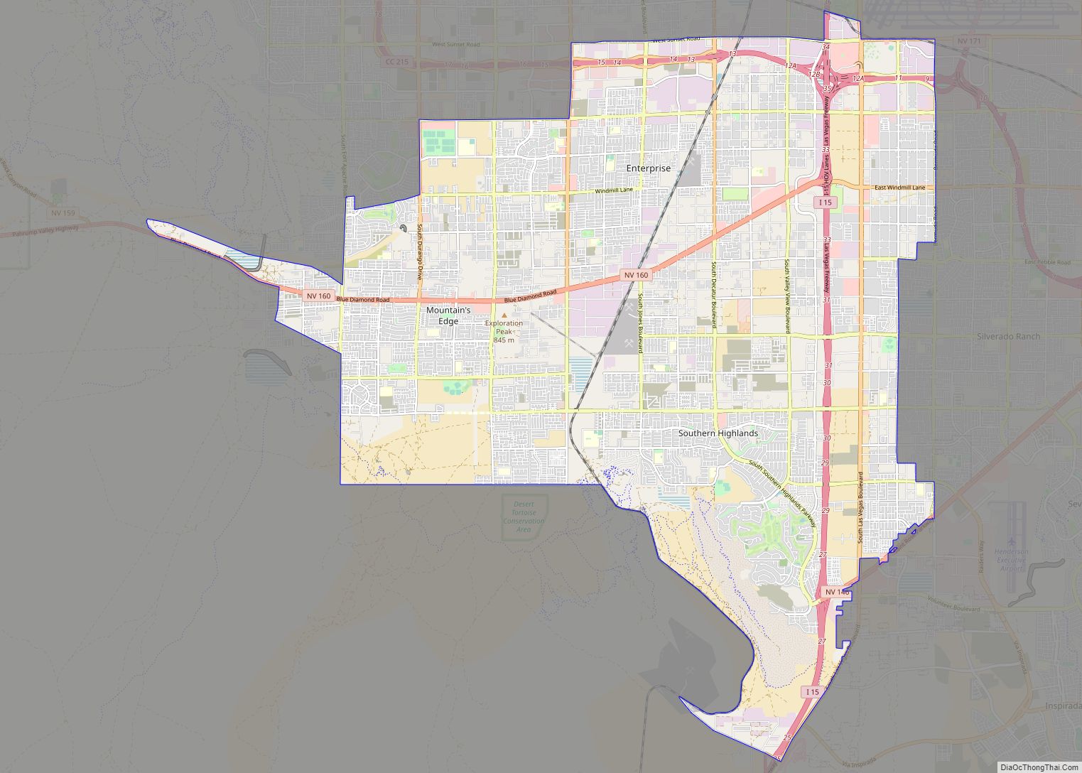
According to the United States Census Bureau, the census-designated place (CDP) of Spring Valley (which may not exactly coincide with the town boundaries) has a total area of 33.4 sq mi (87 km), all of it land.
The predominant boundaries of Spring Valley are Sahara Avenue on the north, Decatur Boulevard on the east, Warm Springs Road on the south, and Hualapai Way on the west.
The area mostly consists of housing subdivisions, with strip malls lining the large boulevards that connect suburban Las Vegas to the Strip. The northern part of Spring Valley includes areas of rural-estate zoning, with large parcels of land on blocks of 1⁄64 square mile (40,000 m). The southern part of Spring Valley is quickly developing – fifteen years ago, very little south of Tropicana Avenue was developed within Spring Valley.
A large park, Desert Breeze Park, is located in the north-central part of the town. Next to the park is Roger M. Bryan Elementary School.
See also
Map of Nevada State and its subdivision: Map of other states:- Alabama
- Alaska
- Arizona
- Arkansas
- California
- Colorado
- Connecticut
- Delaware
- District of Columbia
- Florida
- Georgia
- Hawaii
- Idaho
- Illinois
- Indiana
- Iowa
- Kansas
- Kentucky
- Louisiana
- Maine
- Maryland
- Massachusetts
- Michigan
- Minnesota
- Mississippi
- Missouri
- Montana
- Nebraska
- Nevada
- New Hampshire
- New Jersey
- New Mexico
- New York
- North Carolina
- North Dakota
- Ohio
- Oklahoma
- Oregon
- Pennsylvania
- Rhode Island
- South Carolina
- South Dakota
- Tennessee
- Texas
- Utah
- Vermont
- Virginia
- Washington
- West Virginia
- Wisconsin
- Wyoming