Searchlight is an unincorporated town and census-designated place (CDP) in Clark County, Nevada, United States, at the topographic saddle between two mountain ranges. At the 2020 census it had a population of 445.
| Name: | Searchlight CDP |
|---|---|
| LSAD Code: | 57 |
| LSAD Description: | CDP (suffix) |
| State: | Nevada |
| County: | Clark County |
| Founded: | May 6, 1897; 126 years ago (1897-05-06) |
| Elevation: | 3,547 ft (1,081 m) |
| Total Area: | 3.87 sq mi (10.03 km²) |
| Land Area: | 3.87 sq mi (10.03 km²) |
| Water Area: | 0.00 sq mi (0.00 km²) |
| Total Population: | 445 |
| Population Density: | 114.87/sq mi (44.35/km²) |
| ZIP code: | 89039, 89046 |
| Area code: | 702 and 725 |
| FIPS code: | 3265600 |
| GNISfeature ID: | 0845654 |
Online Interactive Map
Click on ![]() to view map in "full screen" mode.
to view map in "full screen" mode.
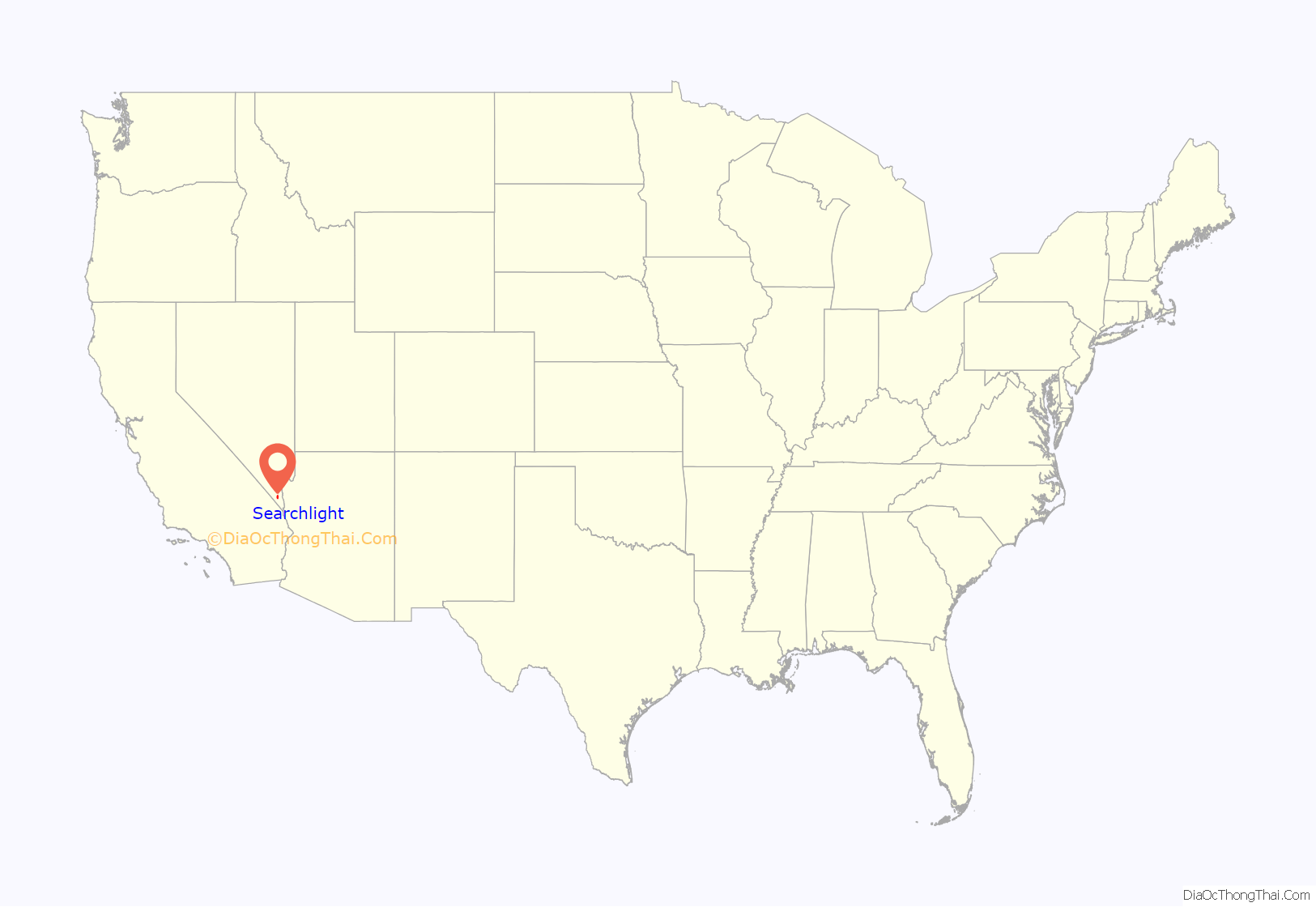
Searchlight location map. Where is Searchlight CDP?
History
According to U.S. Senator Harry Reid (1939-2021), who wrote extensively about his hometown, the most likely story as to how the town received its name was that when George Frederick Colton was looking for gold in the area on May 6, 1897, he supposedly said that it would take a searchlight to find gold ore there. Shortly thereafter, he found gold, leading to a boom era when Searchlight had a larger population than Las Vegas. At the time, it was in Lincoln County, Nevada. As talk surfaced for carving Clark County, Nevada out of Lincoln County, Searchlight was initially considered to be the county seat. Between 1907 and 1910, the gold mines produced $7 million in gold and other precious minerals, and the town had a population of about 1,500. The ore was shipped to Barnwell via the Barnwell and Searchlight Railway.
Other stories on the origin of the name include a story that Colton was lighting a Searchlight brand match when he discovered the gold ore. Reid dismissed this story, saying that the Searchlight matches were not available in 1898. Yet another story says that Colton thought the area would be a good place because it was on a hill. His mine was called the Duplex, because the gold ore was found on two levels.
Searchlight declined after 1917 but remained as a stop on the Arrowhead Highway. In 1927, U.S. Route 91 bypassed the town and its population dropped to 50.
The town had a resurgence in the 1930s and 1940s with the construction of the nearby Hoover Dam and was the site the El Rey Bordello in the 1940s and early 1950s until it burned down. The last gold mine ceased operating around 1953.
Searchlight Road Map
Searchlight city Satellite Map
Geography
Climate
The city experiences a desert climate (Köppen: BWh) with hot summers and cool winters, but it is not uncommon to see temperatures below freezing. Searchlight’s elevation makes temperatures somewhat cooler than lower-elevation areas in the Mojave Desert, such as Baker, California; Needles, California; and Fort Mohave, Arizona. However, summers can still be extremely hot. Due to Searchlight’s altitude and aridity, temperatures drop quickly after sunset, especially in the summer. Daytime highs in the winter are usually well above freezing, and nighttime lows drop below freezing only a few nights a year.
See also
Map of Nevada State and its subdivision: Map of other states:- Alabama
- Alaska
- Arizona
- Arkansas
- California
- Colorado
- Connecticut
- Delaware
- District of Columbia
- Florida
- Georgia
- Hawaii
- Idaho
- Illinois
- Indiana
- Iowa
- Kansas
- Kentucky
- Louisiana
- Maine
- Maryland
- Massachusetts
- Michigan
- Minnesota
- Mississippi
- Missouri
- Montana
- Nebraska
- Nevada
- New Hampshire
- New Jersey
- New Mexico
- New York
- North Carolina
- North Dakota
- Ohio
- Oklahoma
- Oregon
- Pennsylvania
- Rhode Island
- South Carolina
- South Dakota
- Tennessee
- Texas
- Utah
- Vermont
- Virginia
- Washington
- West Virginia
- Wisconsin
- Wyoming
