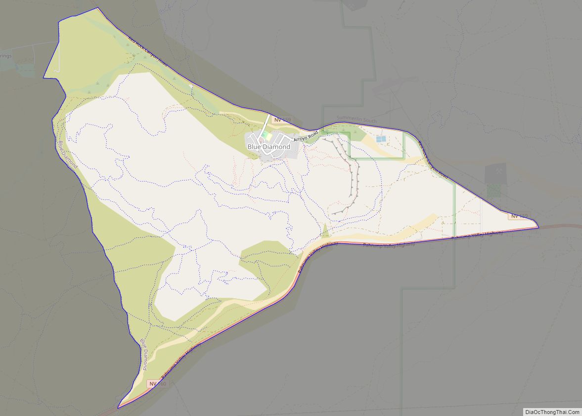
Summerlin South, also seen on maps as South Summerlin, is a census-designated place (CDP) in Clark County, Nevada, United States, on the western edge of the Las Vegas Valley and adjacent to the Red Rock Canyon National Conservation Area. It is so named because it is a southward extension of the master-planned community of Summerlin. Nearly all of Summerlin South is in ZIP code 89135. The population was 24,085 at the 2010 Census.
The Summerlin South Community Association is the main governmental entity of the area – it is a homeowners association for the entire community.
Summerlin South is considered to be one of the most prestigious neighborhoods in the Las Vegas Valley. The area includes The Ridges, a guard-gated community consisting of custom and semi-custom homes in southwest Summerlin. In The Ridges, the average home price is over $2,000,000.
| Name: | Summerlin South CDP |
|---|---|
| LSAD Code: | 57 |
| LSAD Description: | CDP (suffix) |
| State: | Nevada |
| County: | Clark County |
| Total Area: | 9.69 sq mi (25.08 km²) |
| Land Area: | 9.69 sq mi (25.08 km²) |
| Water Area: | 0.00 sq mi (0.00 km²) |
| Total Population: | 30,744 |
| Population Density: | 3,174.39/sq mi (1,225.67/km²) |
| FIPS code: | 3270900 |
| GNISfeature ID: | 2410017 |
Online Interactive Map
Click on ![]() to view map in "full screen" mode.
to view map in "full screen" mode.
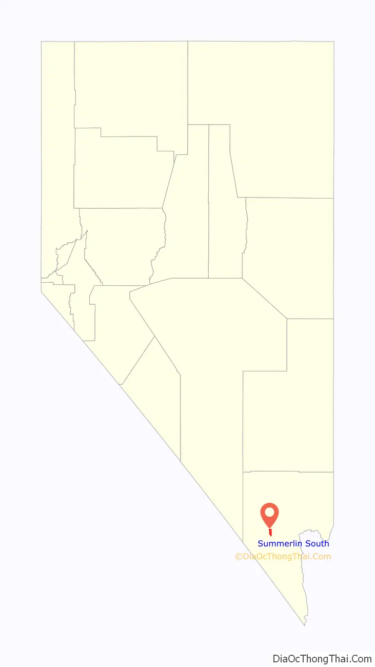
Summerlin South location map. Where is Summerlin South CDP?

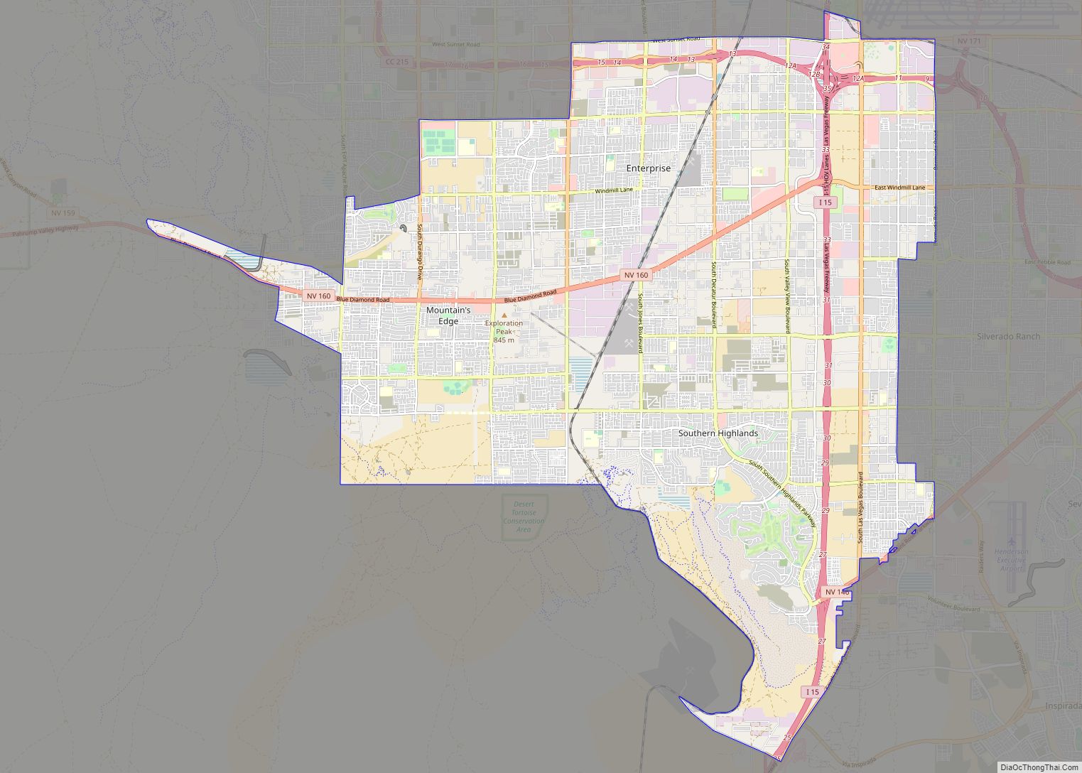
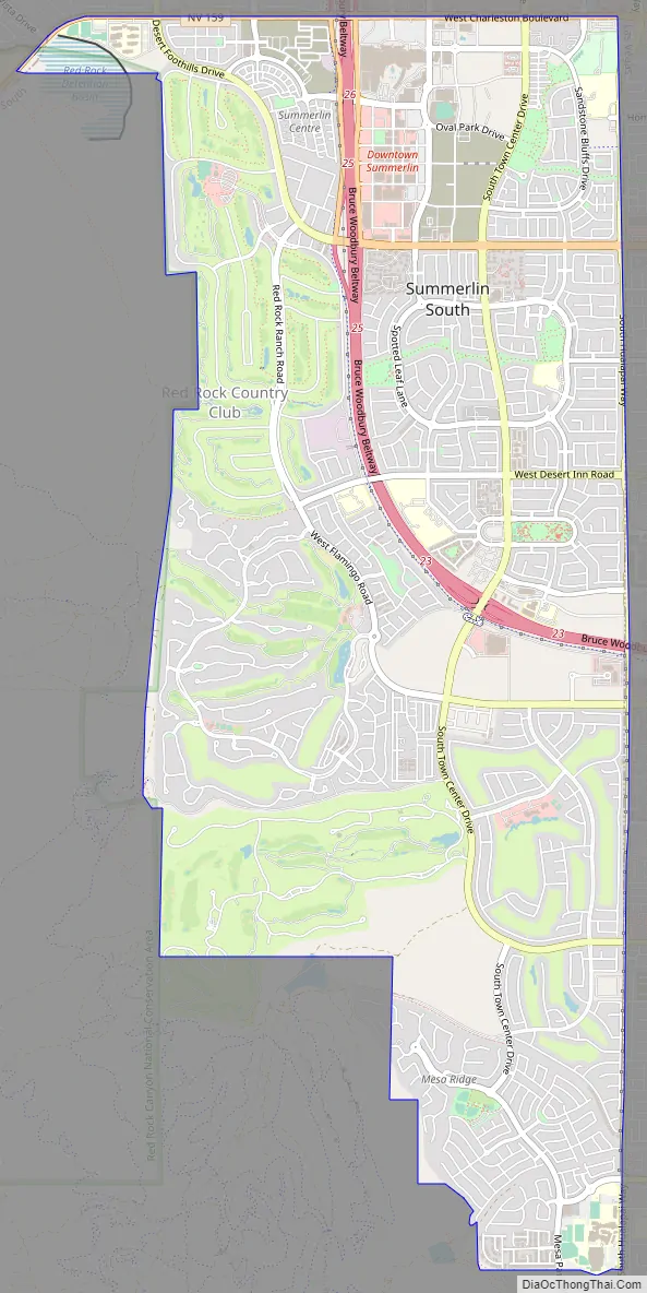
Summerlin South Road Map
Summerlin South city Satellite Map

Geography
It is bounded on the north by Charleston Boulevard, Hualapai Way to the east and Red Rock Canyon National Conservation Area to the west. Current development expands just below Russell Rd on the south but future developments will expand to Maule Ave.
According to the United States Census Bureau, the CDP has a total area of 9.64 square miles (24.97 km).
See also
Map of Nevada State and its subdivision: Map of other states:- Alabama
- Alaska
- Arizona
- Arkansas
- California
- Colorado
- Connecticut
- Delaware
- District of Columbia
- Florida
- Georgia
- Hawaii
- Idaho
- Illinois
- Indiana
- Iowa
- Kansas
- Kentucky
- Louisiana
- Maine
- Maryland
- Massachusetts
- Michigan
- Minnesota
- Mississippi
- Missouri
- Montana
- Nebraska
- Nevada
- New Hampshire
- New Jersey
- New Mexico
- New York
- North Carolina
- North Dakota
- Ohio
- Oklahoma
- Oregon
- Pennsylvania
- Rhode Island
- South Carolina
- South Dakota
- Tennessee
- Texas
- Utah
- Vermont
- Virginia
- Washington
- West Virginia
- Wisconsin
- Wyoming