Wendover is a city on the western edge of Tooele County, Utah, United States. The population was 1,115 at the 2020 census.
| Name: | Wendover city |
|---|---|
| LSAD Code: | 25 |
| LSAD Description: | city (suffix) |
| State: | Utah |
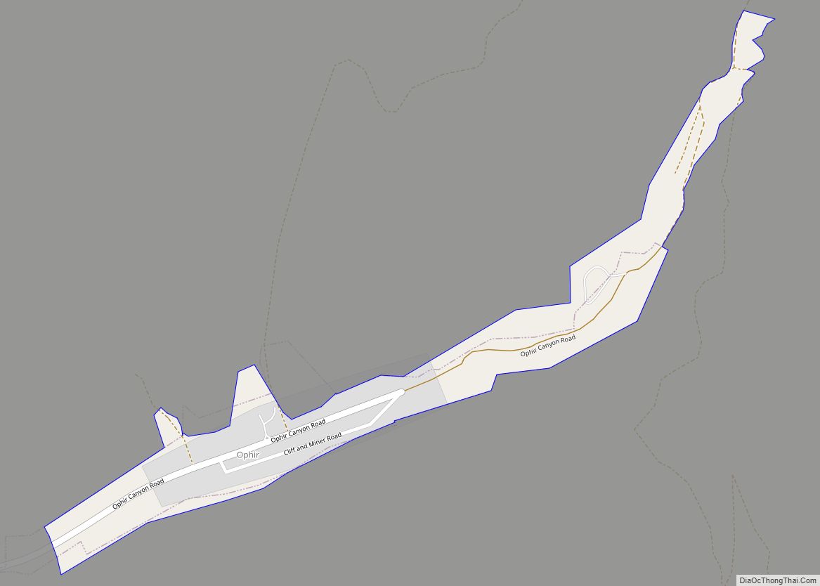
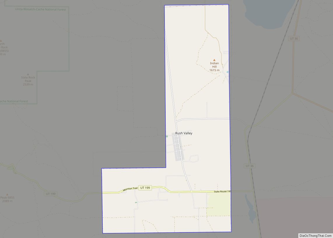
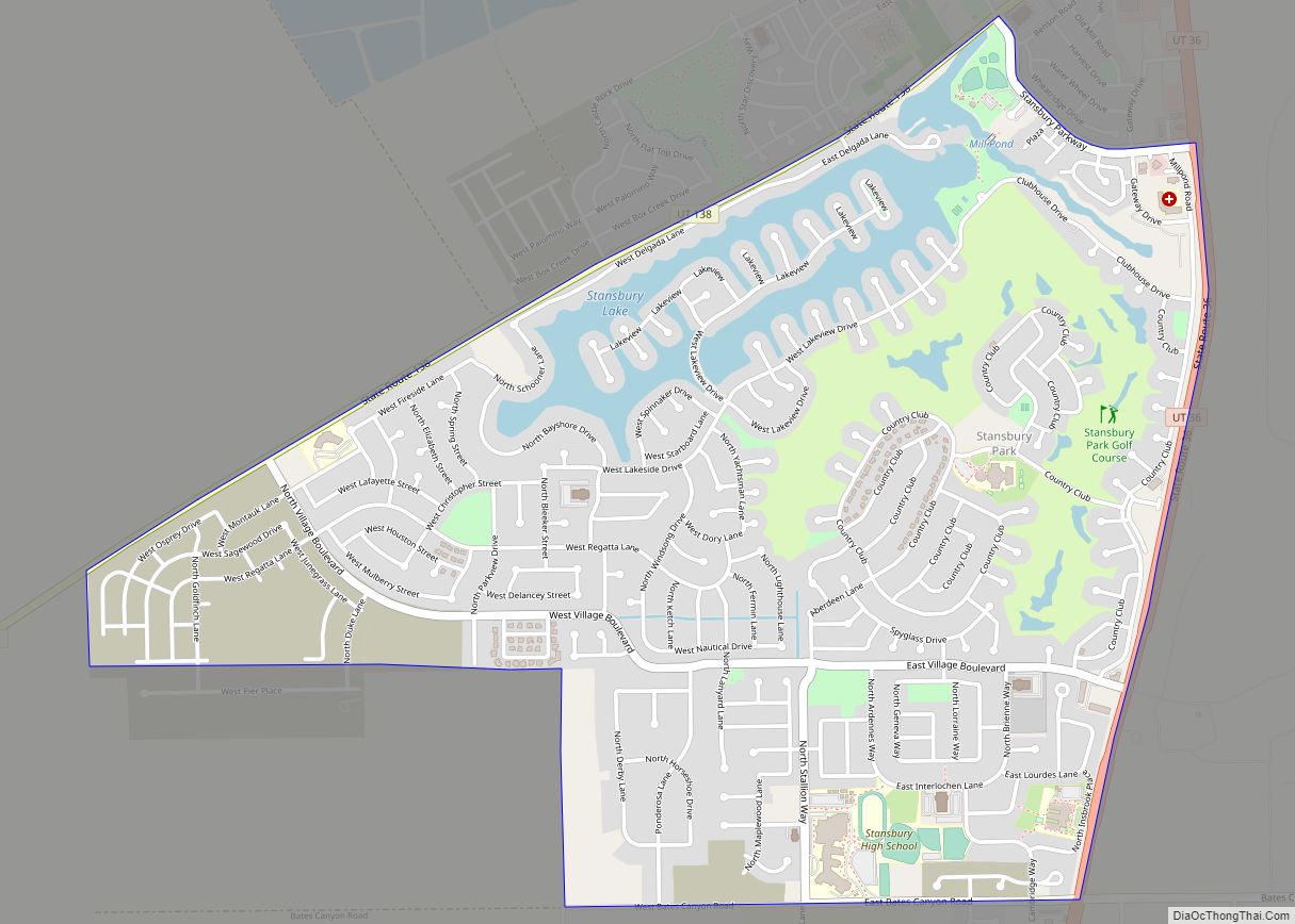
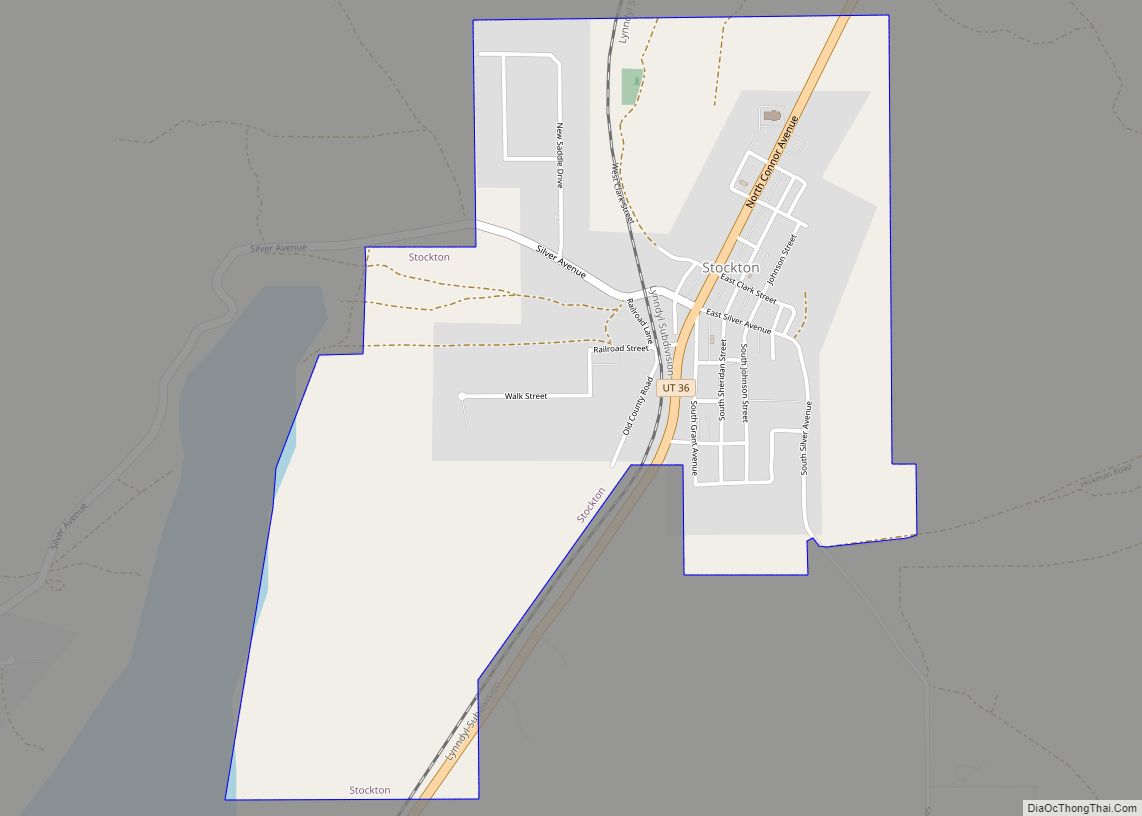
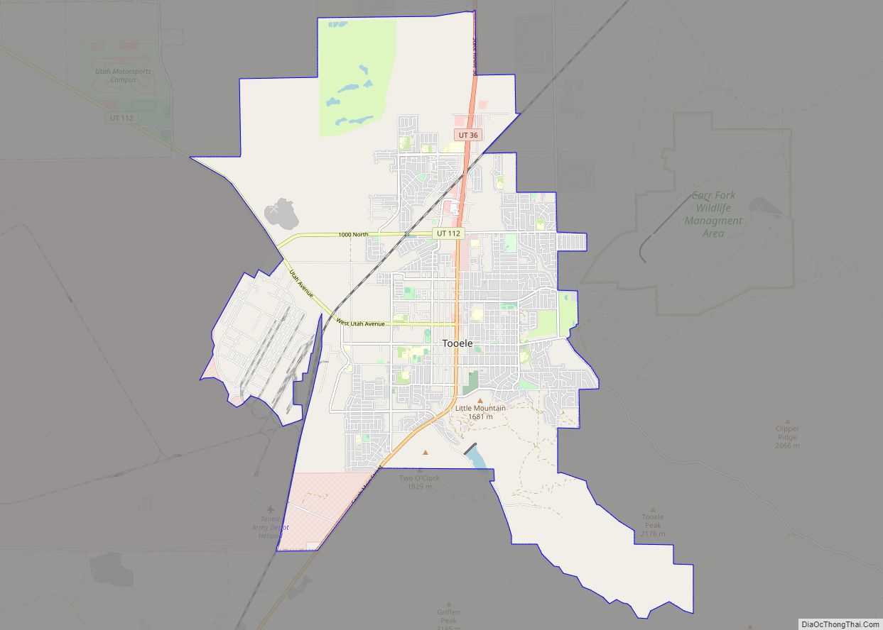
| County: | Tooele County |
| Founded: | 1908 |
| Elevation: | 4,291 ft (1,308 m) |
| Total Area: | 8.93 sq mi (23.12 km²) |
| Land Area: | 8.93 sq mi (23.12 km²) |
| Water Area: | 0.00 sq mi (0.00 km²) |
| Total Population: | 1,115 |
| Population Density: | 166.80/sq mi (64.40/km²) |
| ZIP code: | 84083 |
| Area code: | 435 |
| FIPS code: | 4982730 |
| GNISfeature ID: | 1434042 |
Online Interactive Map
Click on ![]() to view map in "full screen" mode.
to view map in "full screen" mode.
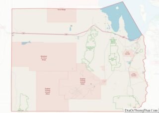
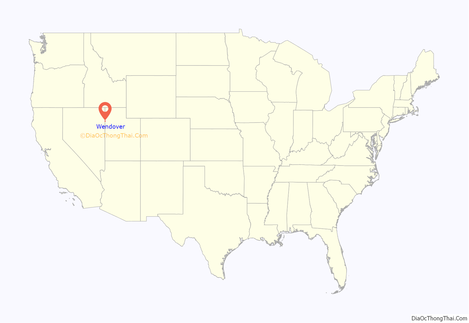
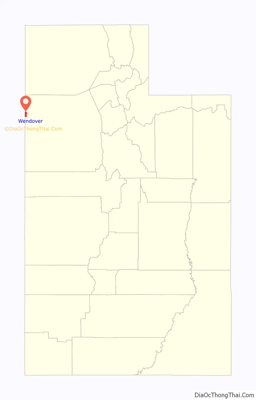
Wendover location map. Where is Wendover city?
History
The town was established in 1908 as a station stop on the Western Pacific Railroad, then under construction.
The transcontinental telephone line was completed as workers raised the final pole at Wendover, Utah on June 27, 1914, after construction of 3,400 miles (5,500 km) of telephone line. However, the line was not utilized until January 25, 1915, when the first transcontinental telephone call was made to coincide with the opening of the Panama Pacific Exposition.
From 1917 to 1939, a Western Pacific subsidiary known as the Deep Creek Railroad also operated into Wendover. The Western Pacific became part of the larger Union Pacific Railroad in 1983.
During World War II, the nearby Wendover Army Air Field (later known as the Wendover Air Force Base) was a training base for bomber pilots, including the crew of the Enola Gay. The Enola Gay was stationed here until June 1945.
In 2008, the Utah Department of Transportation completed an interchange at Aria Boulevard on Interstate 80. Investment is also underway to restore the Wendover Airport (located at the former Wendover Air Force Base) which is currently managed by Tooele County.
Movements to unite Wendover with West Wendover, which is located across the border in Nevada and allows gambling operations, have taken place but require the approval of the U.S. Congress and the Nevada and Utah legislatures. The U.S. House of Representatives passed a resolution permitting Wendover to leave Utah and join Nevada in 2002, but the bill was stalled in the U.S. Senate and did not become law.
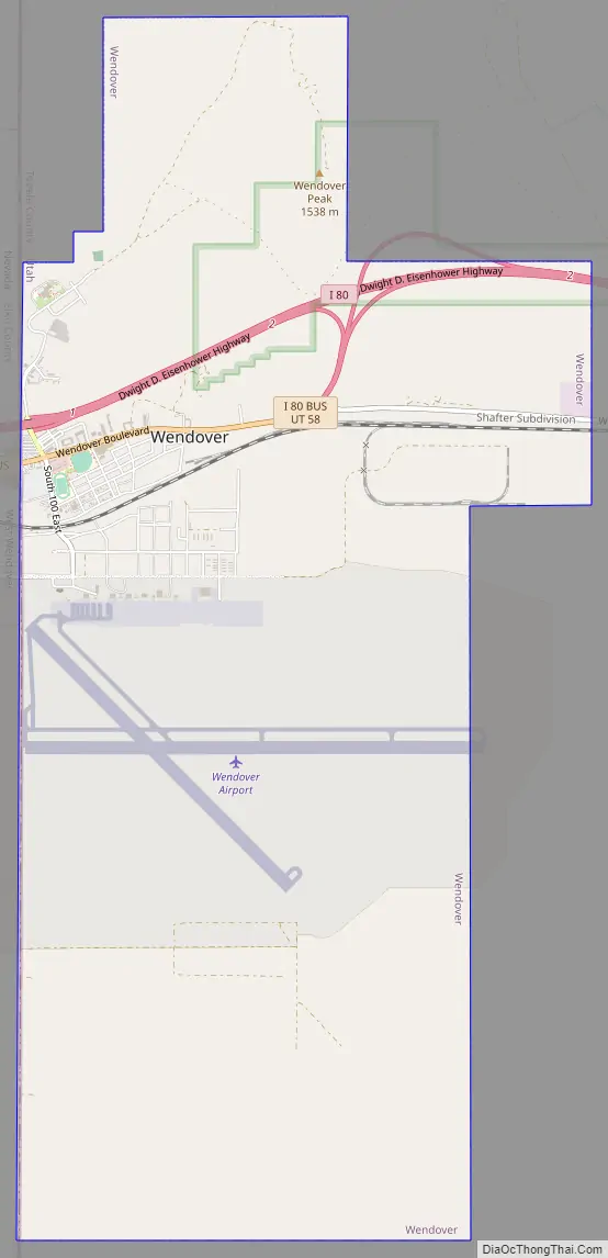
Wendover Road Map
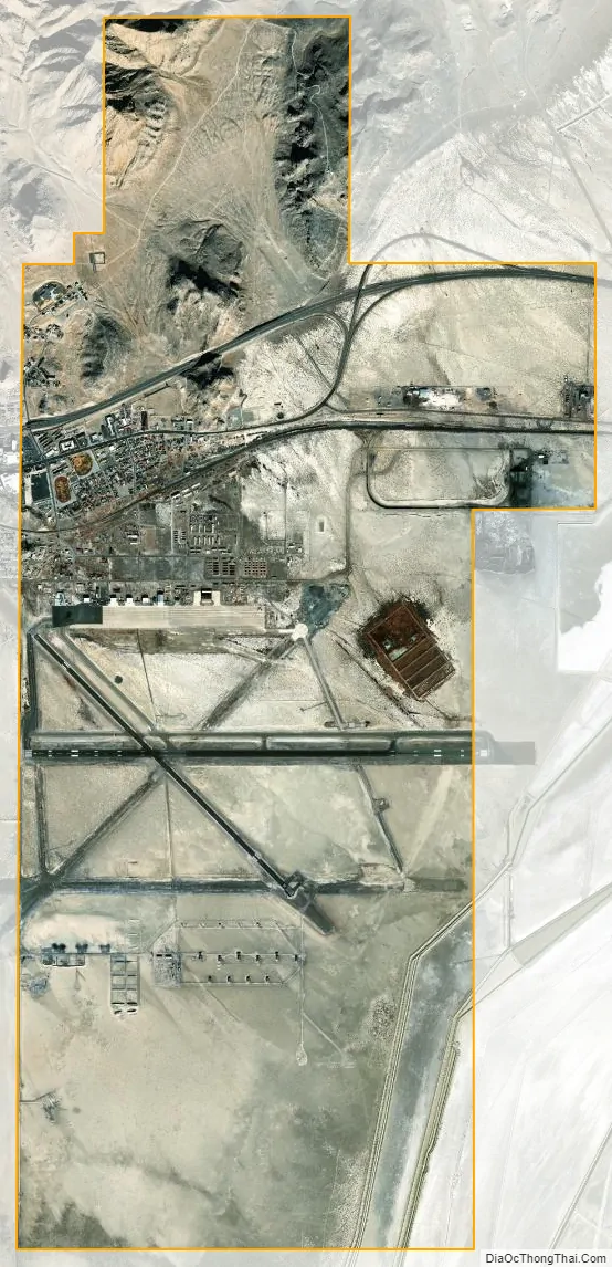
Wendover city Satellite Map
Geography
According to the United States Census Bureau, the city has a total area of 6.4 square miles (16.7 km), all land.
The hillside letter W can be seen in the north. (40°44′43″N 114°01′47″W / 40.7454°N 114.0297°W / 40.7454; -114.0297 (Wendover W))
Climate
Wendover and West Wendover have a cool arid climate (Köppen BWk) with hot summers, freezing winters, and substantial diurnal temperature ranges. The cities’ location east of the Ruby Mountains makes them the driest in the Great Basin, averaging only 4.58 inches or 116 millimetres of precipitation per year, or about half that of nearby Ely or Elko. It affects snowfall even more dramatically: Wendover and West Wendover average only 5.5 inches or 0.14 metres of snow, one-eighth to one-tenth the snowfall of the two nearby county seats.
See also
Map of Utah State and its subdivision: Map of other states:- Alabama
- Alaska
- Arizona
- Arkansas
- California
- Colorado
- Connecticut
- Delaware
- District of Columbia
- Florida
- Georgia
- Hawaii
- Idaho
- Illinois
- Indiana
- Iowa
- Kansas
- Kentucky
- Louisiana
- Maine
- Maryland
- Massachusetts
- Michigan
- Minnesota
- Mississippi
- Missouri
- Montana
- Nebraska
- Nevada
- New Hampshire
- New Jersey
- New Mexico
- New York
- North Carolina
- North Dakota
- Ohio
- Oklahoma
- Oregon
- Pennsylvania
- Rhode Island
- South Carolina
- South Dakota
- Tennessee
- Texas
- Utah
- Vermont
- Virginia
- Washington
- West Virginia
- Wisconsin
- Wyoming