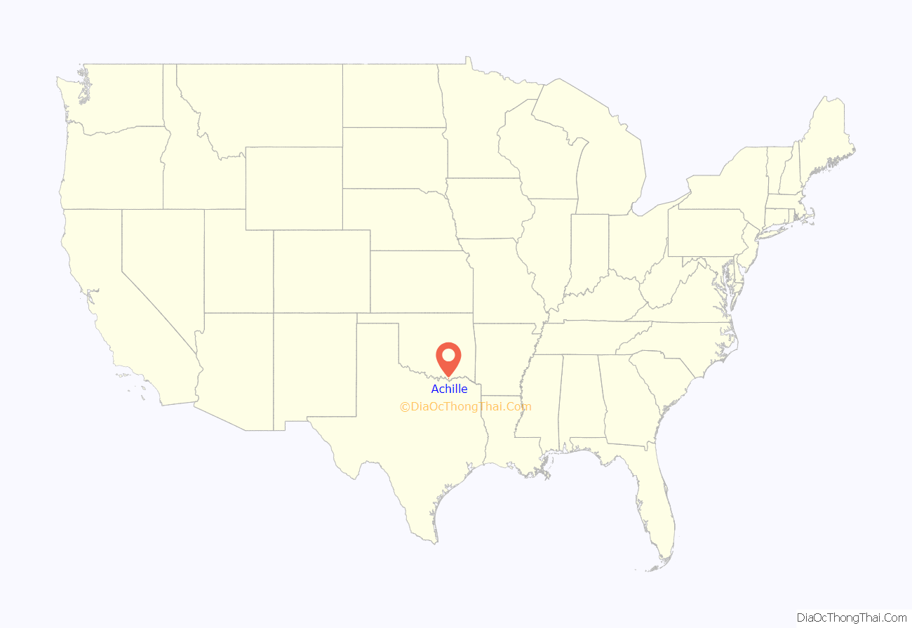
Achille is a town in Bryan County, Oklahoma, United States. As of the 2010 census, the town population was 492, a 2.8 percent decrease from the figure of 506 recorded in 2000. The town’s name is derived from a Cherokee word, atsila, meaning fire.
| Name: | Achille town |
|---|---|
| LSAD Code: | 43 |
| LSAD Description: | town (suffix) |
| State: | Oklahoma |
| County: | Bryan County |
| Elevation: | 669 ft (204 m) |
| Total Area: | 0.45 sq mi (1.15 km²) |
| Land Area: | 0.45 sq mi (1.15 km²) |
| Water Area: | 0.00 sq mi (0.00 km²) |
| Total Population: | 398 |
| Population Density: | 894.38/sq mi (344.97/km²) |
| ZIP code: | 74720 |
| Area code: | 580 |
| FIPS code: | 4000100 |
| GNISfeature ID: | 1089519 |
Online Interactive Map
Click on ![]() to view map in "full screen" mode.
to view map in "full screen" mode.
Achille location map. Where is Achille town?
History
The area that would become Achille was originally part of the Chickasaw Nation in Indian Territory. The Bloomfield Academy for Chickasaw girls was located 3 miles (4.8 km) southeast of present-day Achille from 1853 until 1914. Cherokee refugees located to the area during the American Civil War and called it “atsila”, meaning fire.
The Missouri, Oklahoma and Gulf Railroad built a line that crossed the region in 1908 and a post office was established in the community in 1910. The community grew from an estimated population of 50 to 500 in 1920. The town’s population had declined to 294 in 1960 and reached a peak number of 506 in 2000.
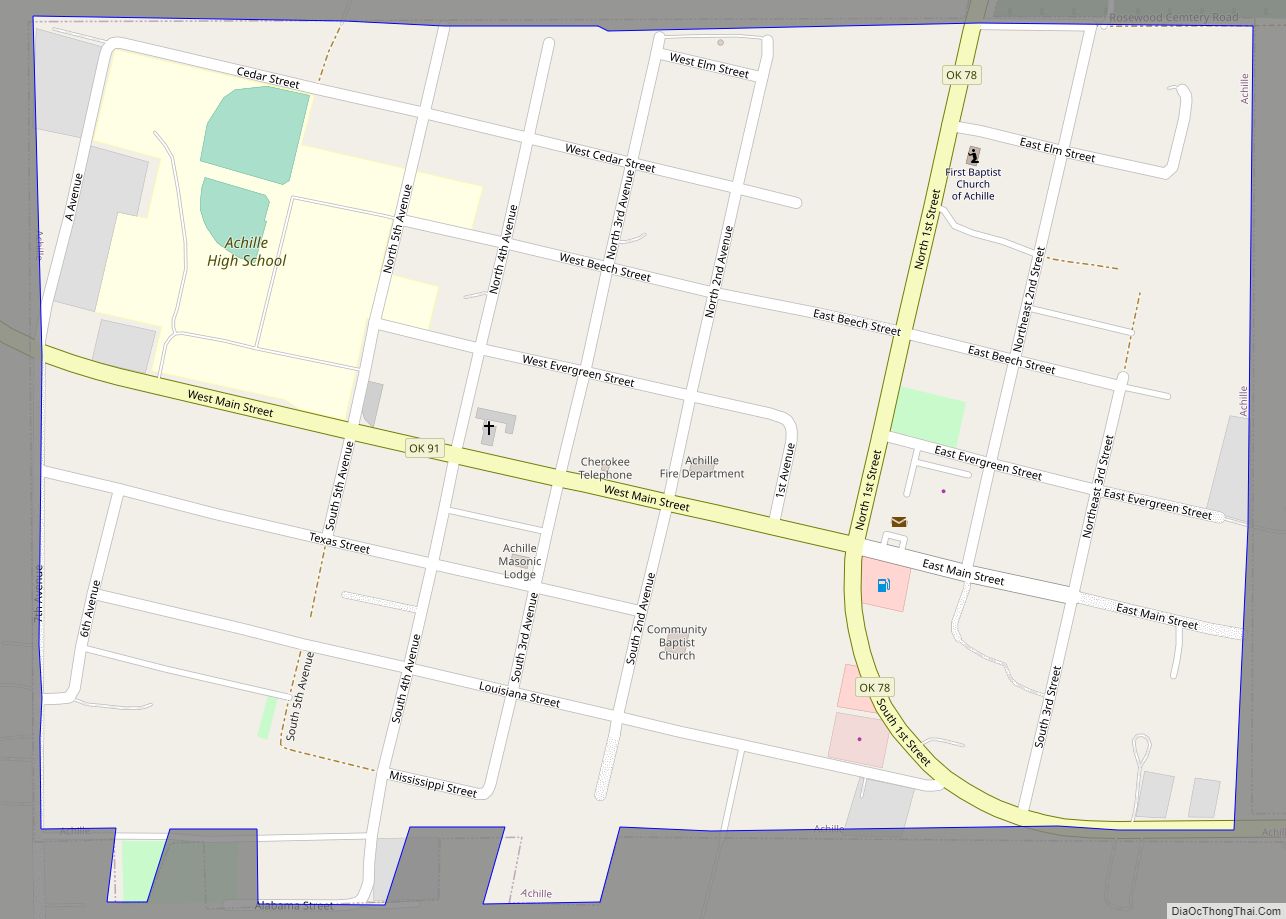
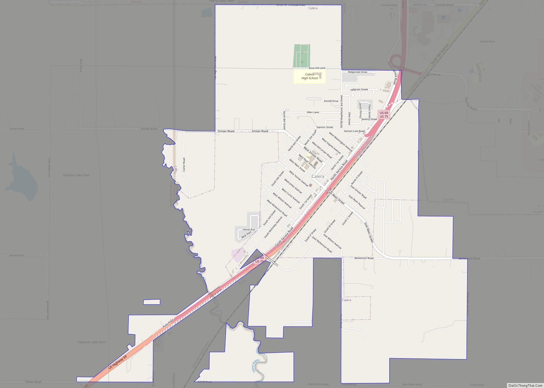
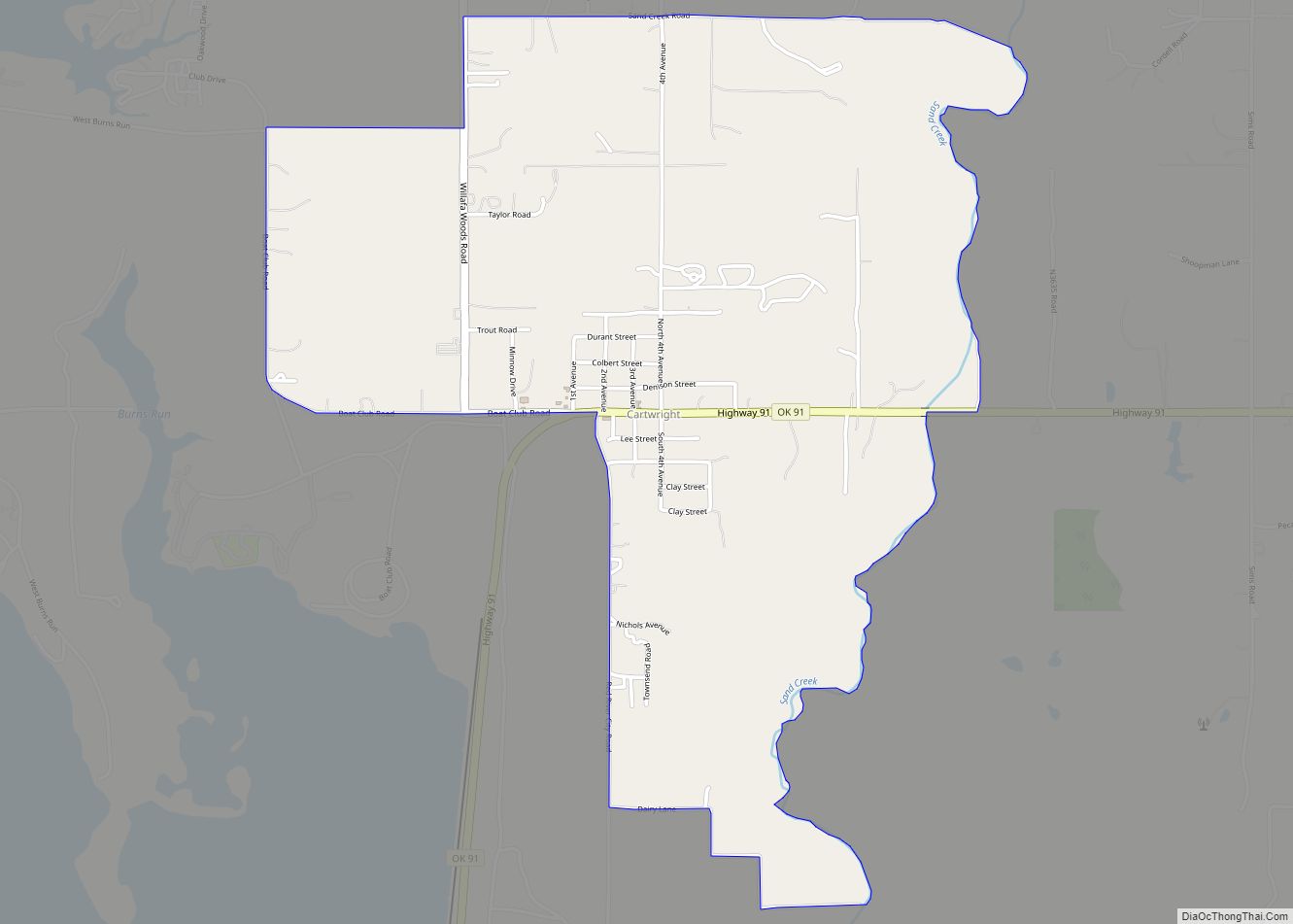
Achille Road Map
Achille city Satellite Map
Geography
According to the United States Census Bureau, the town has a total area of 0.4 square miles (1.0 km), all land.
See also
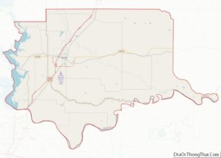
Map of Oklahoma State and its subdivision:- Adair
- Alfalfa
- Atoka
- Beaver
- Beckham
- Blaine
- Bryan
- Caddo
- Canadian
- Carter
- Cherokee
- Choctaw
- Cimarron
- Cleveland
- Coal
- Comanche
- Cotton
- Craig
- Creek
- Custer
- Delaware
- Dewey
- Ellis
- Garfield
- Garvin
- Grady
- Grant
- Greer
- Harmon
- Harper
- Haskell
- Hughes
- Jackson
- Jefferson
- Johnston
- Kay
- Kingfisher
- Kiowa
- Latimer
- Le Flore
- Lincoln
- Logan
- Love
- Major
- Marshall
- Mayes
- McClain
- McCurtain
- McIntosh
- Murray
- Muskogee
- Noble
- Nowata
- Okfuskee
- Oklahoma
- Okmulgee
- Osage
- Ottawa
- Pawnee
- Payne
- Pittsburg
- Pontotoc
- Pottawatomie
- Pushmataha
- Roger Mills
- Rogers
- Seminole
- Sequoyah
- Stephens
- Texas
- Tillman
- Tulsa
- Wagoner
- Washington
- Washita
- Woods
- Woodward
- Alabama
- Alaska
- Arizona
- Arkansas
- California
- Colorado
- Connecticut
- Delaware
- District of Columbia
- Florida
- Georgia
- Hawaii
- Idaho
- Illinois
- Indiana
- Iowa
- Kansas
- Kentucky
- Louisiana
- Maine
- Maryland
- Massachusetts
- Michigan
- Minnesota
- Mississippi
- Missouri
- Montana
- Nebraska
- Nevada
- New Hampshire
- New Jersey
- New Mexico
- New York
- North Carolina
- North Dakota
- Ohio
- Oklahoma
- Oregon
- Pennsylvania
- Rhode Island
- South Carolina
- South Dakota
- Tennessee
- Texas
- Utah
- Vermont
- Virginia
- Washington
- West Virginia
- Wisconsin
- Wyoming
