Bokchito is a town in Bryan County, Oklahoma, United States. The population was 632 at the 2010 census, an increase of 12.1 percent over the figure of 564 recorded in 2000. In the Choctaw language, “bok” means river, and “chito” means big or large, literally translating into “big creek”.
| Name: | Bokchito town |
|---|---|
| LSAD Code: | 43 |
| LSAD Description: | town (suffix) |
| State: | Oklahoma |
| County: | Bryan County |
| Elevation: | 640 ft (195 m) |
| Total Area: | 0.68 sq mi (1.77 km²) |
| Land Area: | 0.68 sq mi (1.77 km²) |
| Water Area: | 0.00 sq mi (0.00 km²) |
| Total Population: | 574 |
| Population Density: | 839.18/sq mi (324.19/km²) |
| ZIP code: | 74726 |
| Area code: | 580 |
| FIPS code: | 4007350 |
| GNISfeature ID: | 1090368 |
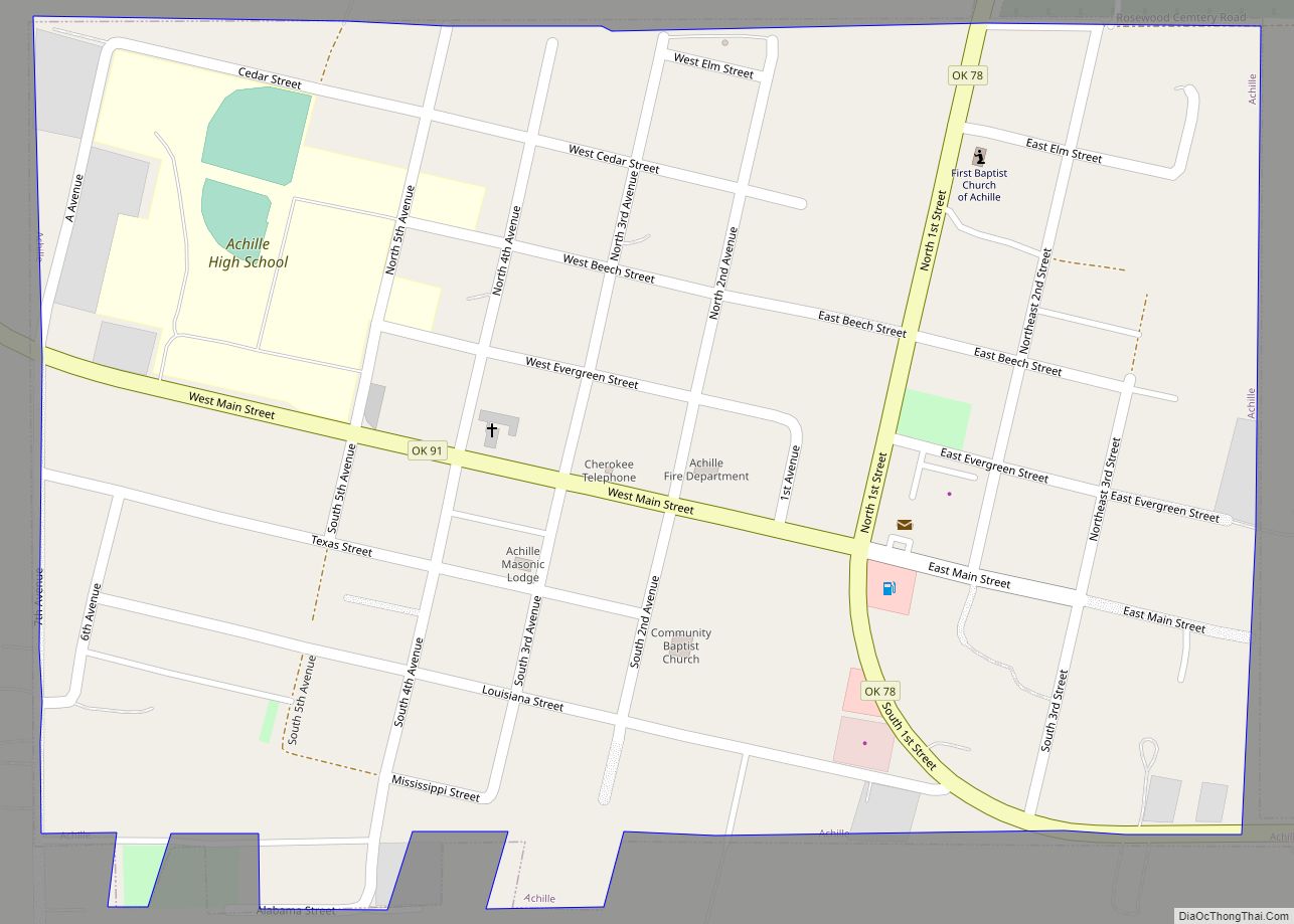
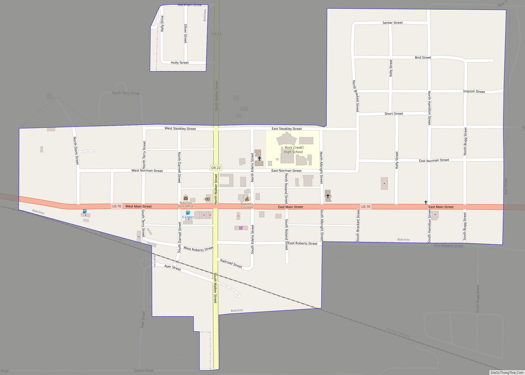
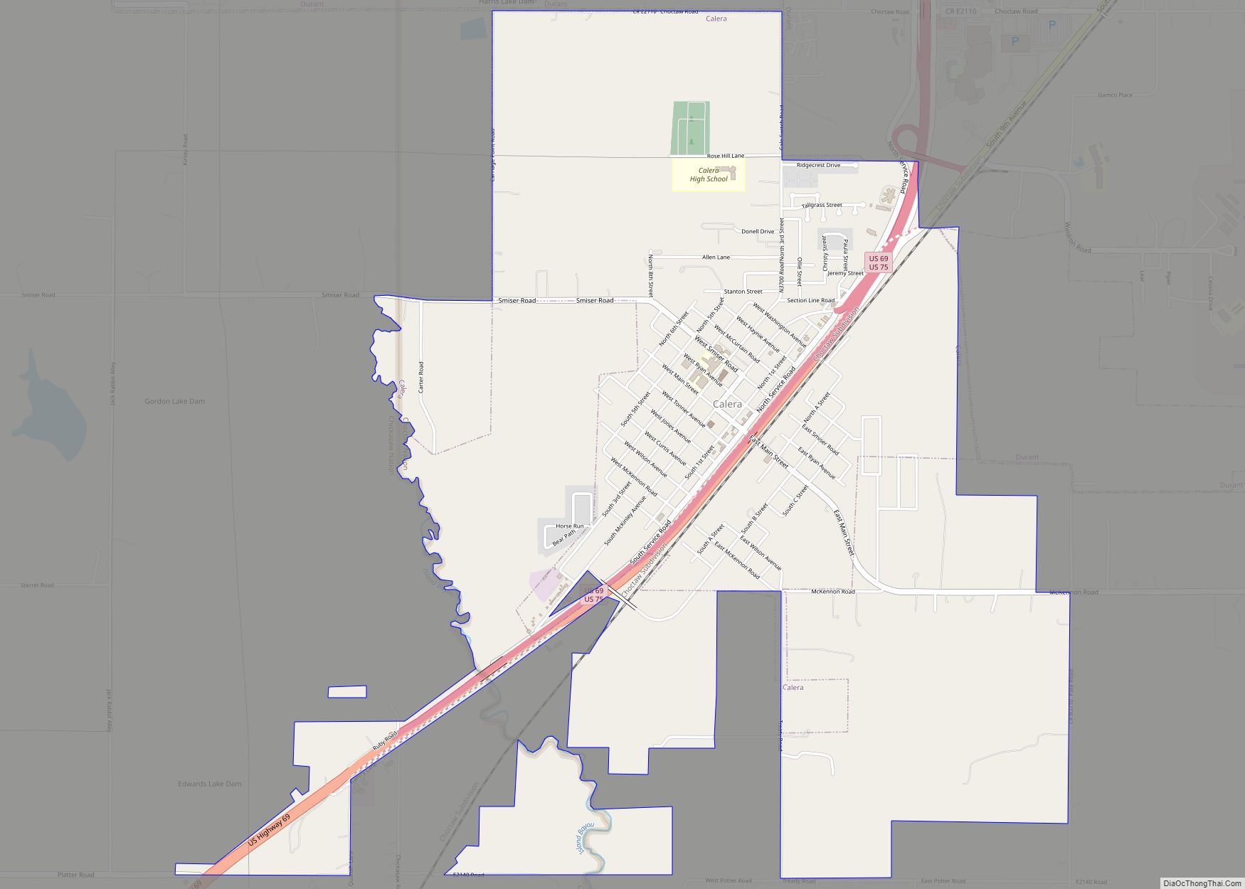
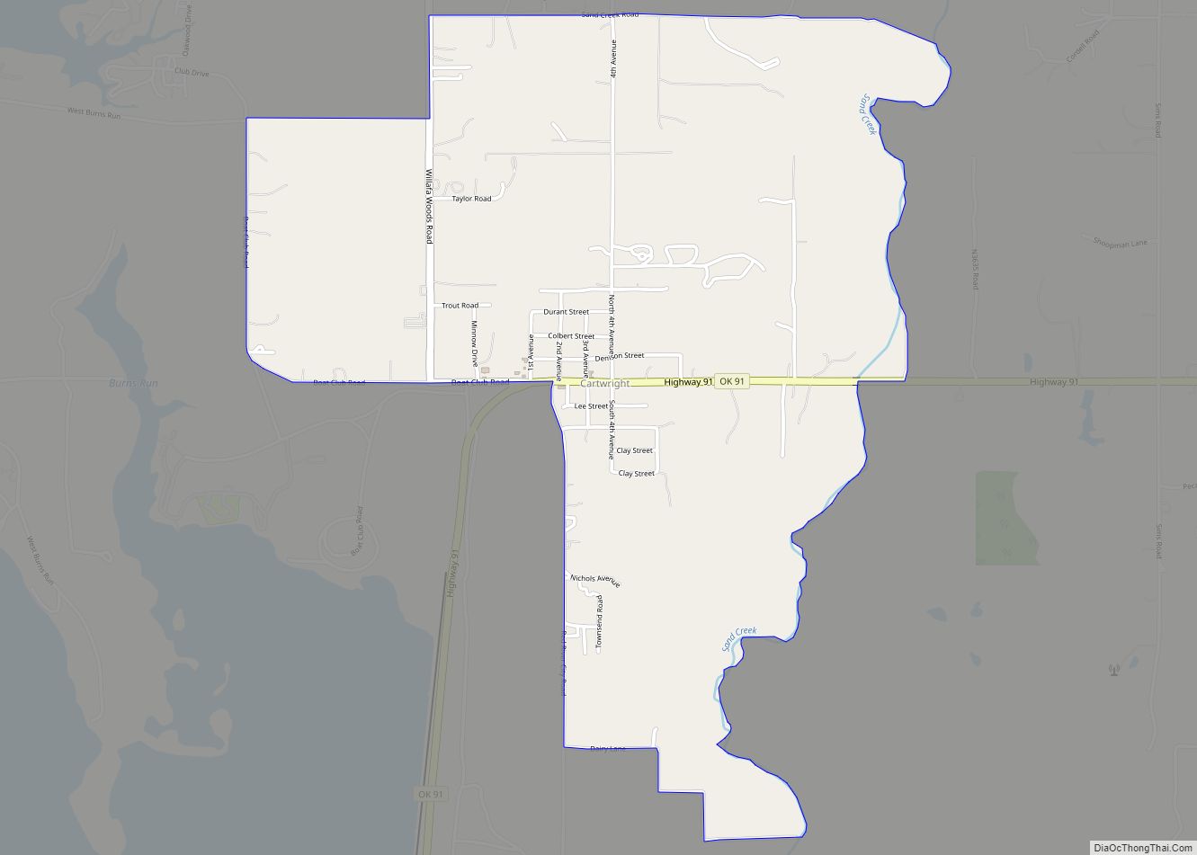
Online Interactive Map
Click on ![]() to view map in "full screen" mode.
to view map in "full screen" mode.
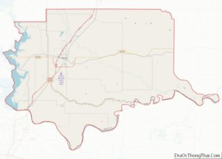
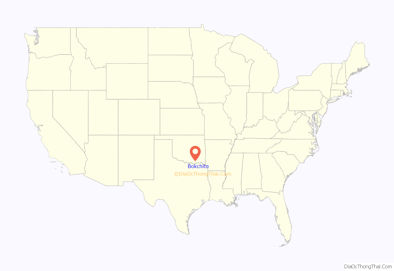
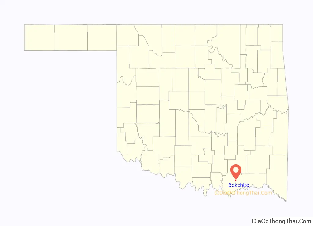
Bokchito location map. Where is Bokchito town?
History
A post office was established at Bokchito, Indian Territory on August 11, 1894. It was named for a local waterway, Bok Chito, which in the Choctaw language means “Big Creek.” Bokchito, Indian Territory was platted and incorporated by the federal government as a town within the Choctaw Nation on April 27, 1901. In 1901, the population was estimated at 200.
At the time of its founding Bokchito was located in Blue County, a part of the Moshulatubbee District of the Choctaw Nation.
Dennis Rodman lived in Bokchito when he was in college.
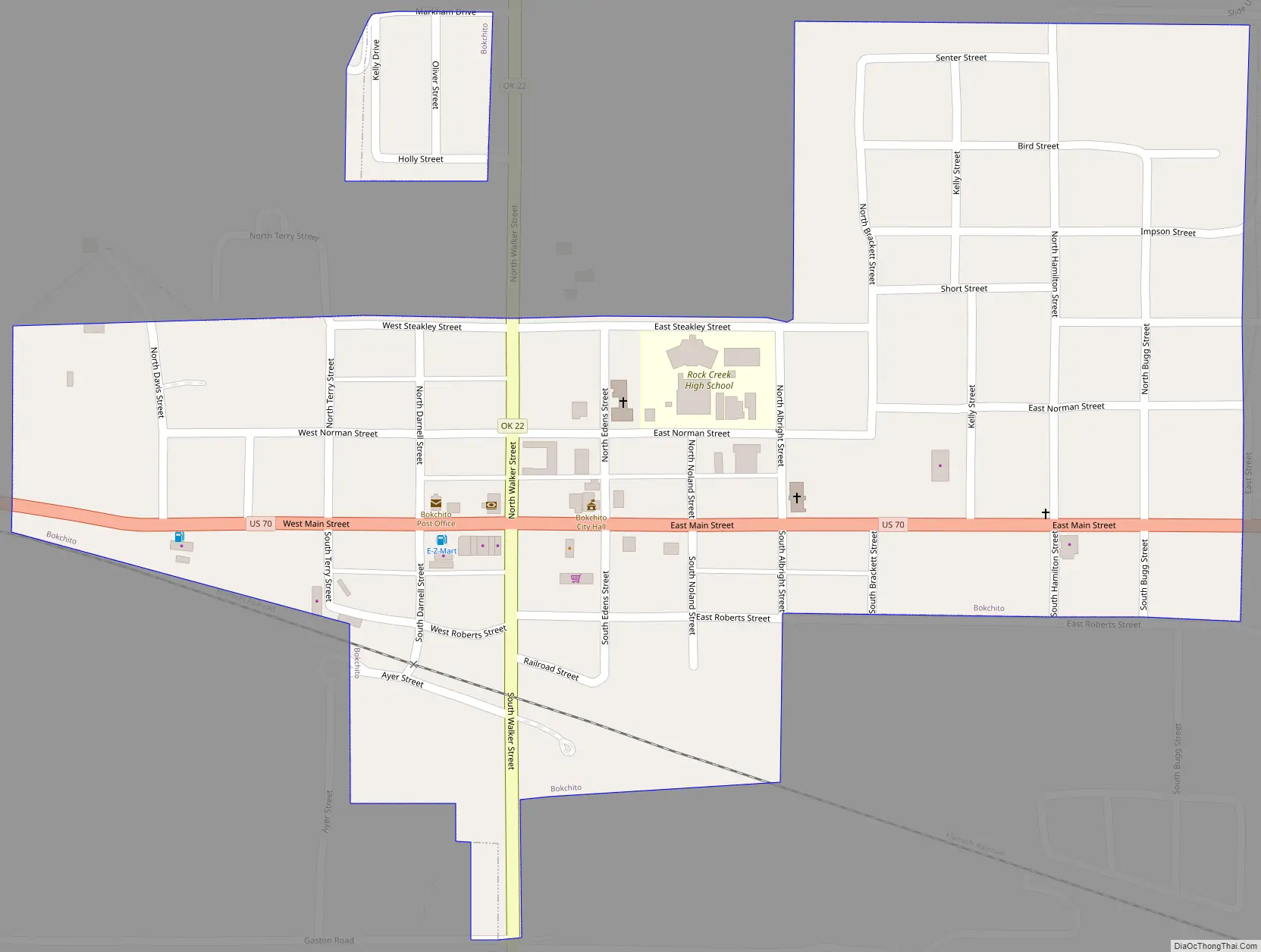
Bokchito Road Map
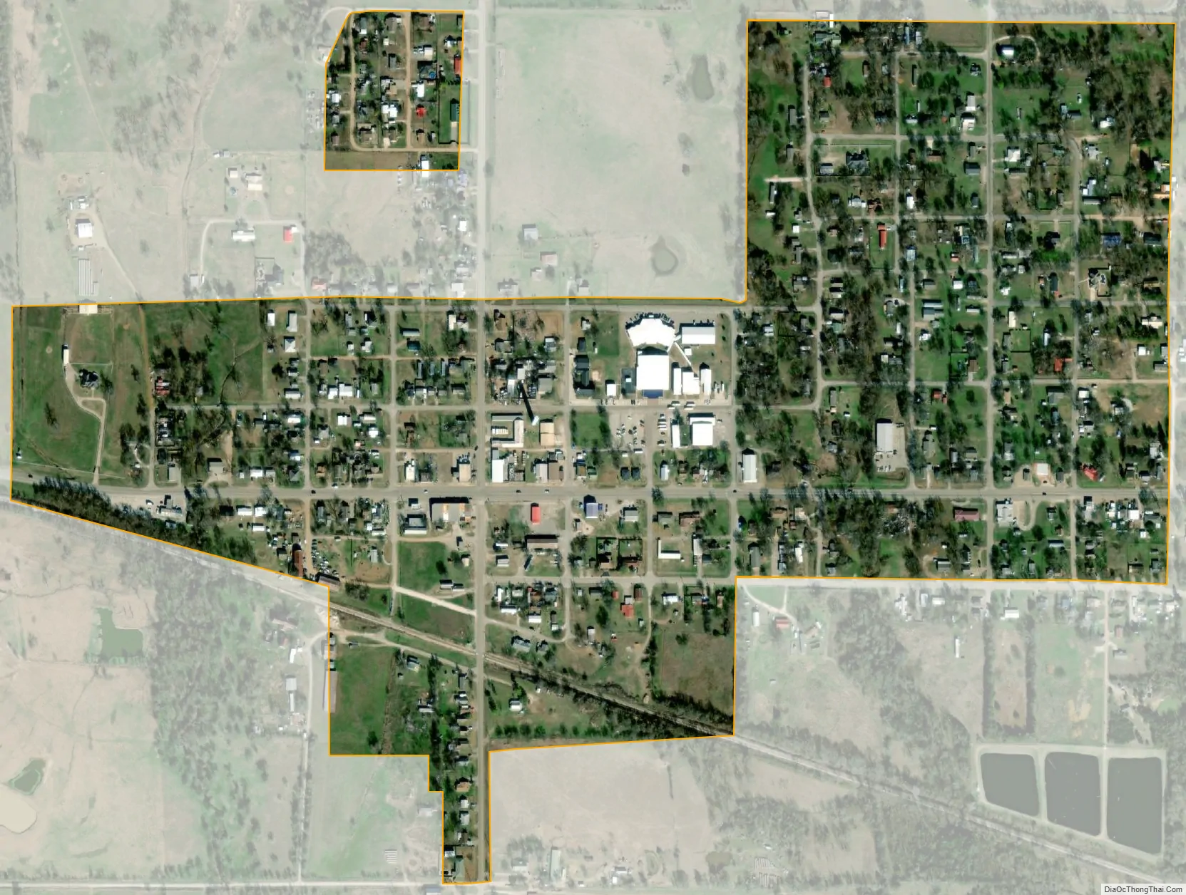
Bokchito city Satellite Map
Geography
Bokchito is located at 34°1′6″N 96°8′30″W / 34.01833°N 96.14167°W / 34.01833; -96.14167 (34.018357, -96.141633). It is 13 miles (21 km) east of Durant and 37 miles (60 km) west of Hugo.
The town is at the intersection of U.S. Route 70 and Oklahoma State Highway 22.
According to the United States Census Bureau, the town has a total area of 0.4 square miles (1.0 km), all land.
See also
Map of Oklahoma State and its subdivision:- Adair
- Alfalfa
- Atoka
- Beaver
- Beckham
- Blaine
- Bryan
- Caddo
- Canadian
- Carter
- Cherokee
- Choctaw
- Cimarron
- Cleveland
- Coal
- Comanche
- Cotton
- Craig
- Creek
- Custer
- Delaware
- Dewey
- Ellis
- Garfield
- Garvin
- Grady
- Grant
- Greer
- Harmon
- Harper
- Haskell
- Hughes
- Jackson
- Jefferson
- Johnston
- Kay
- Kingfisher
- Kiowa
- Latimer
- Le Flore
- Lincoln
- Logan
- Love
- Major
- Marshall
- Mayes
- McClain
- McCurtain
- McIntosh
- Murray
- Muskogee
- Noble
- Nowata
- Okfuskee
- Oklahoma
- Okmulgee
- Osage
- Ottawa
- Pawnee
- Payne
- Pittsburg
- Pontotoc
- Pottawatomie
- Pushmataha
- Roger Mills
- Rogers
- Seminole
- Sequoyah
- Stephens
- Texas
- Tillman
- Tulsa
- Wagoner
- Washington
- Washita
- Woods
- Woodward
- Alabama
- Alaska
- Arizona
- Arkansas
- California
- Colorado
- Connecticut
- Delaware
- District of Columbia
- Florida
- Georgia
- Hawaii
- Idaho
- Illinois
- Indiana
- Iowa
- Kansas
- Kentucky
- Louisiana
- Maine
- Maryland
- Massachusetts
- Michigan
- Minnesota
- Mississippi
- Missouri
- Montana
- Nebraska
- Nevada
- New Hampshire
- New Jersey
- New Mexico
- New York
- North Carolina
- North Dakota
- Ohio
- Oklahoma
- Oregon
- Pennsylvania
- Rhode Island
- South Carolina
- South Dakota
- Tennessee
- Texas
- Utah
- Vermont
- Virginia
- Washington
- West Virginia
- Wisconsin
- Wyoming