Calera is a town in Bryan County, Oklahoma, United States, located five miles south of Durant and 10 miles north of the Oklahoma-Texas state line. The population was 2,906 at the 2020 census, an increase of 34.2 percent over the figure of 2,164 recorded in 2010 indicating that Calera is experiencing larger growth than Durant and other surrounding areas. It is part of the Durant Micropolitan Area, as well as being part of the Texoma region.
| Name: | Calera town |
|---|---|
| LSAD Code: | 43 |
| LSAD Description: | town (suffix) |
| State: | Oklahoma |
| County: | Bryan County |
| Elevation: | 712 ft (217 m) |
| Total Area: | 5.36 sq mi (13.89 km²) |
| Land Area: | 5.30 sq mi (13.72 km²) |
| Water Area: | 0.07 sq mi (0.17 km²) |
| Total Population: | 2,906 |
| Population Density: | 550.50/sq mi (212.54/km²) |
| ZIP code: | 74730 |
| Area code: | 580 |
| FIPS code: | 4010950 |
| GNISfeature ID: | 1090807 |
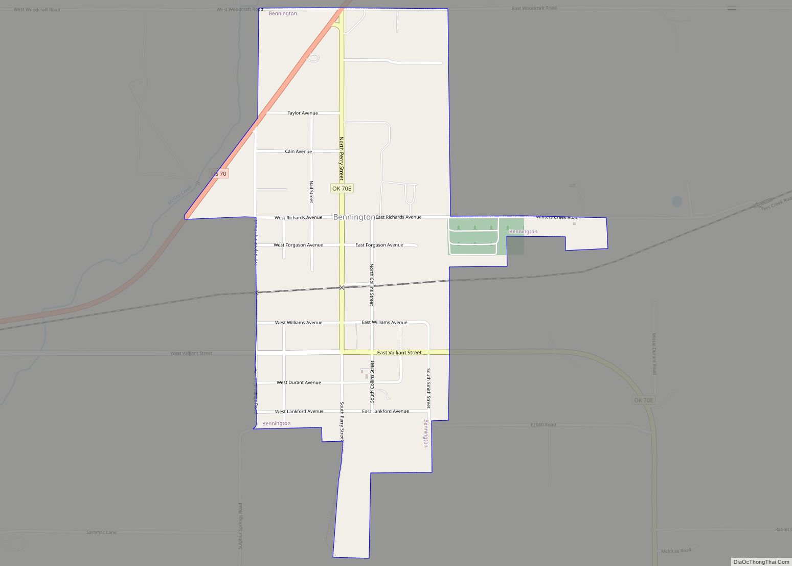
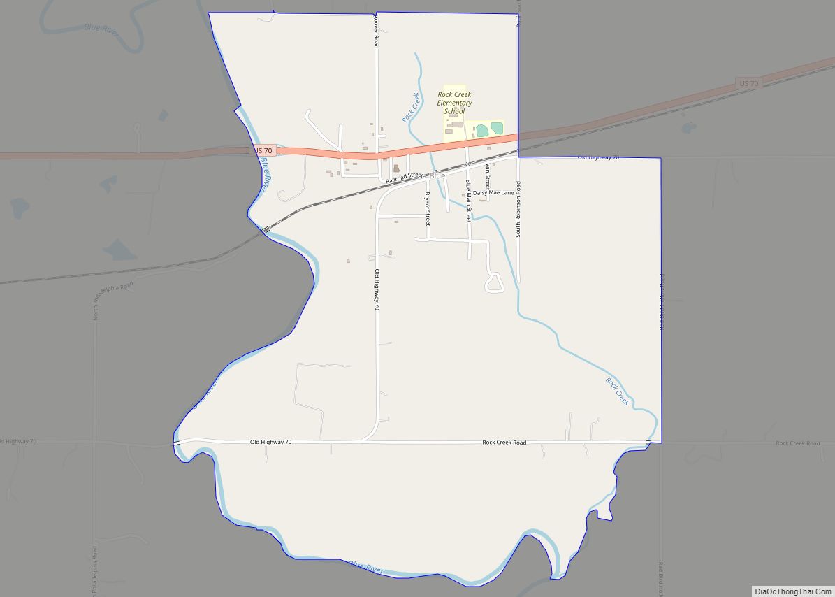
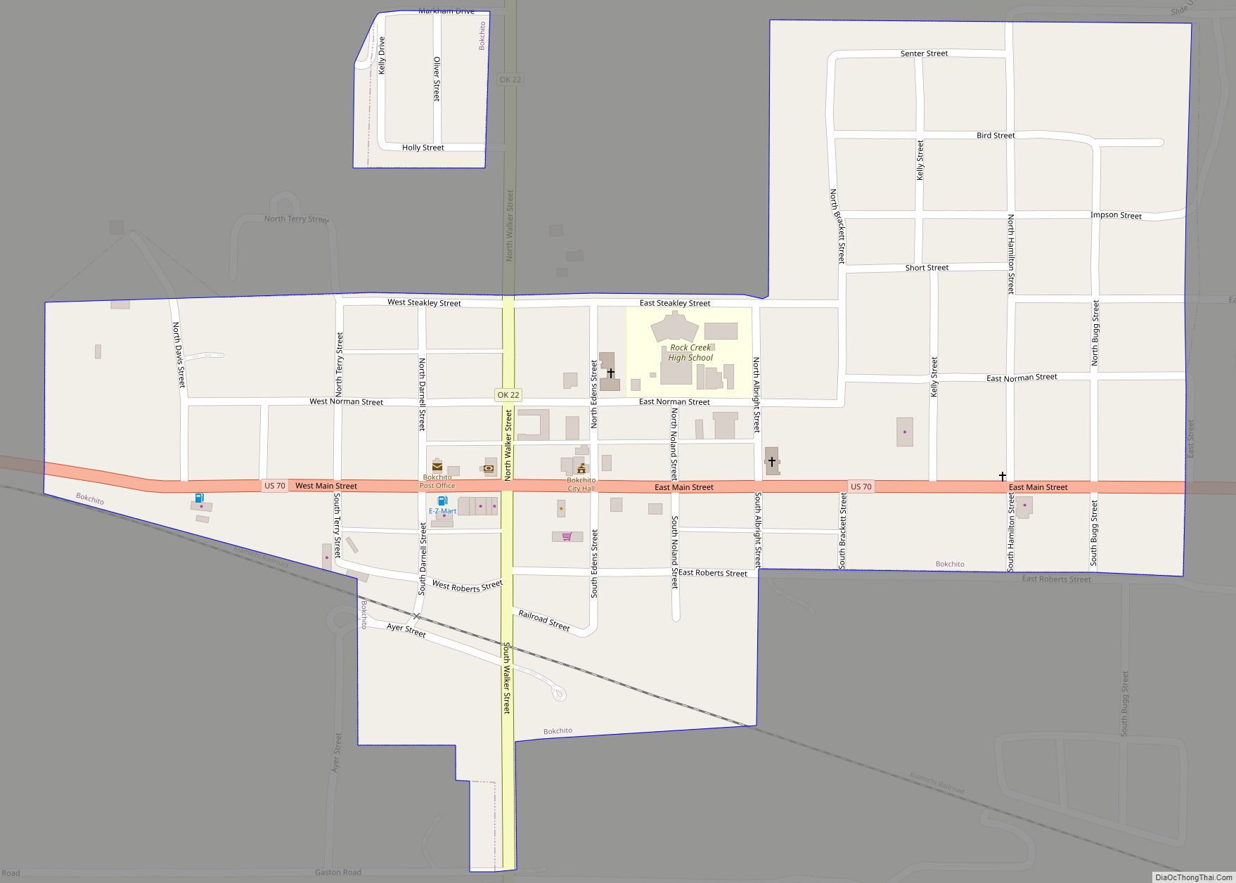
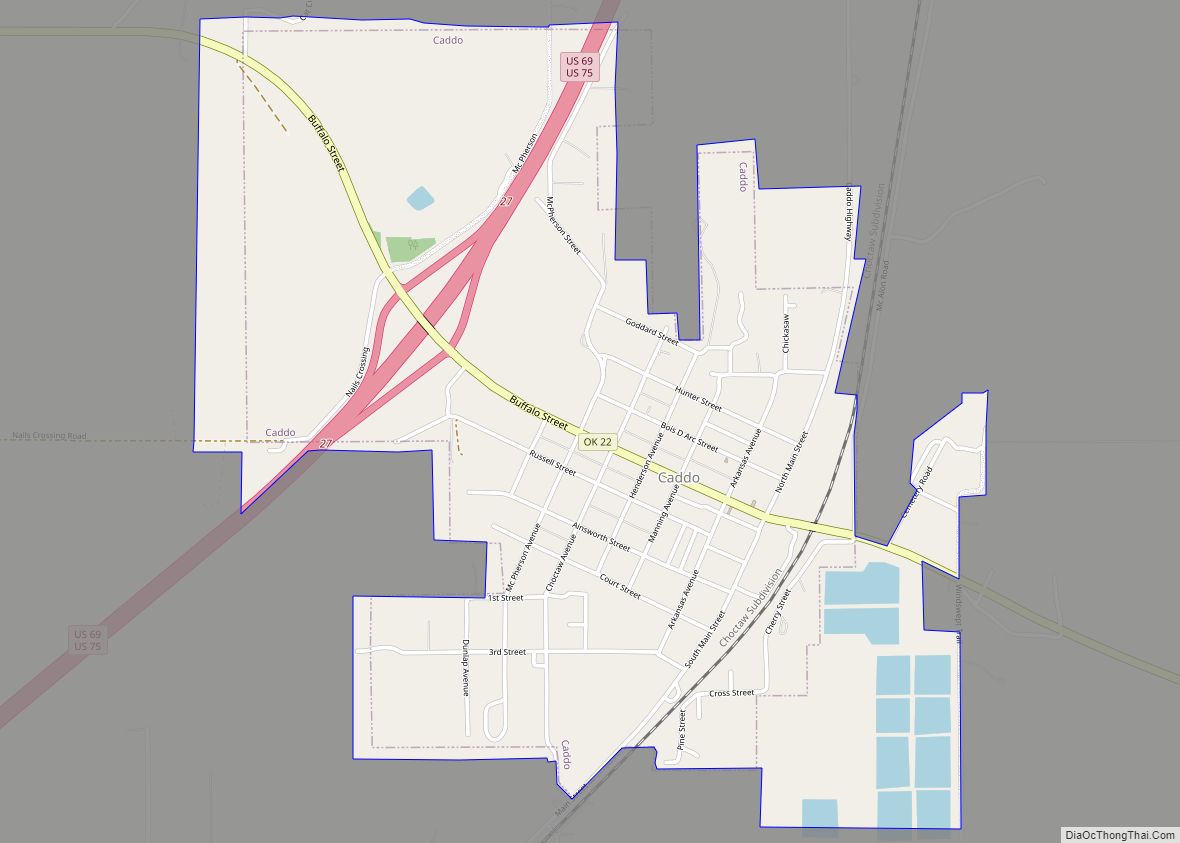
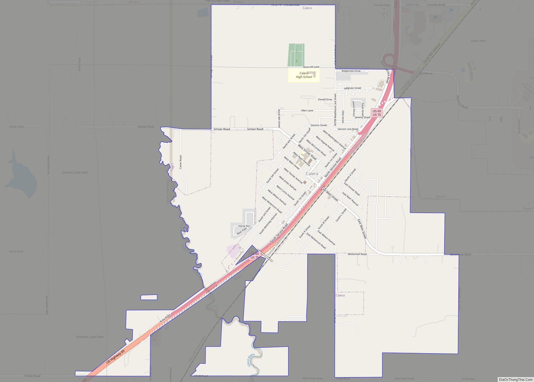
Online Interactive Map
Click on ![]() to view map in "full screen" mode.
to view map in "full screen" mode.
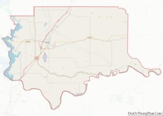
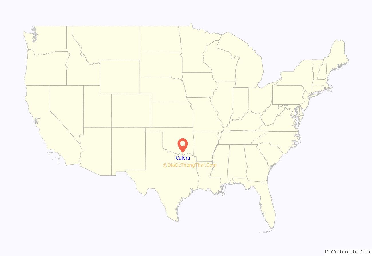
Calera location map. Where is Calera town?

History
Calera was formerly known as Cale Switch or Cale, when in 1872 the Missouri, Kansas and Texas Railway built a railroad through the Choctaw Nation, and the small community was established on the east side of the tracks. The name Cale came from railroad official George W. Cale. Seventeen years later, the people of Cale Switch, Indian Territory had their first post office. That same year the town was given the name Sterrett, but Katy, also referred to as Missouri, Kansas, and Texas Railway, railroad officials refused to call it by that name. The debate continued for twenty-one years when finally in 1910 the town accepted the name Calera.
At the time of its founding Cale was located in Blue County, a part of the Moshulatubbee District of the Choctaw Nation.
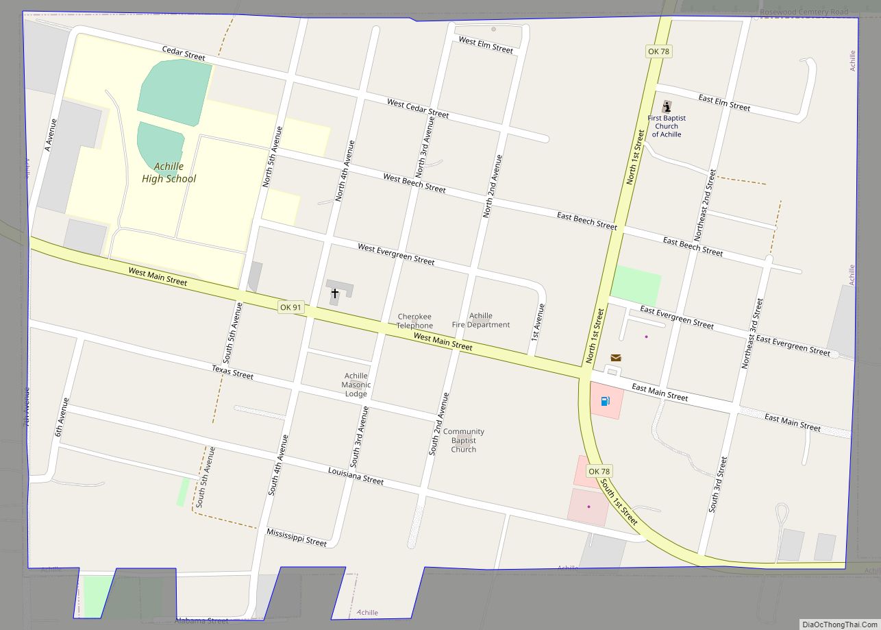
Calera Road Map
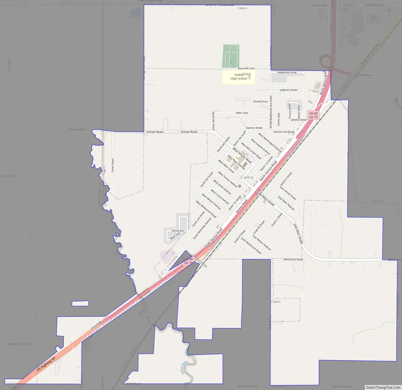
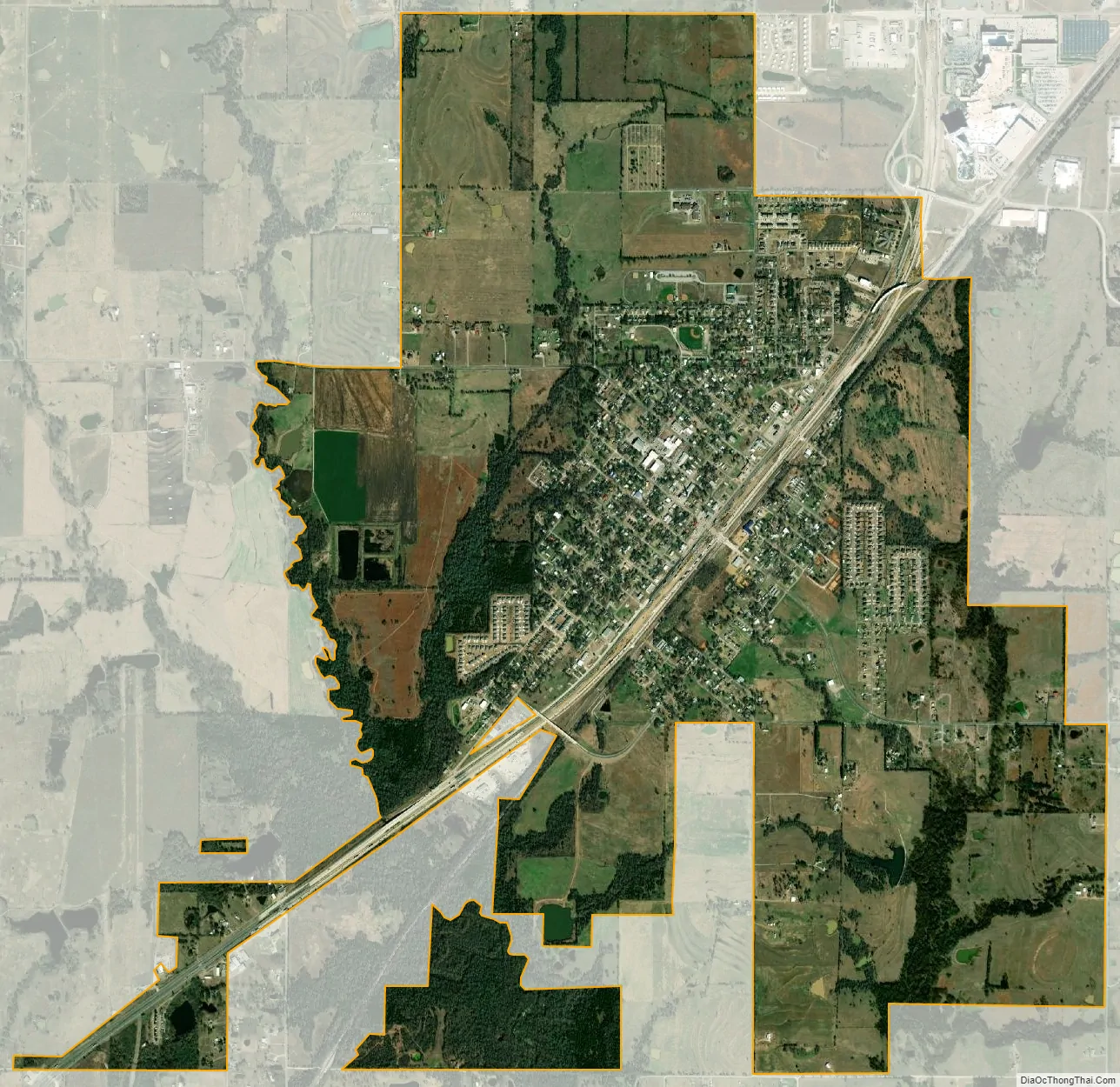
Calera city Satellite Map
Geography
Calera is located at 33°56′3″N 96°25′42″W / 33.93417°N 96.42833°W / 33.93417; -96.42833 (33.934260, -96.428392).
According to the United States Census Bureau, the town has a total area of 2.6 square miles (6.7 km), all land.
The Calera town limits borders the Southern Durant city limits, but the actual downtown areas of Calera and Durant are five miles apart.
See also
Map of Oklahoma State and its subdivision:- Adair
- Alfalfa
- Atoka
- Beaver
- Beckham
- Blaine
- Bryan
- Caddo
- Canadian
- Carter
- Cherokee
- Choctaw
- Cimarron
- Cleveland
- Coal
- Comanche
- Cotton
- Craig
- Creek
- Custer
- Delaware
- Dewey
- Ellis
- Garfield
- Garvin
- Grady
- Grant
- Greer
- Harmon
- Harper
- Haskell
- Hughes
- Jackson
- Jefferson
- Johnston
- Kay
- Kingfisher
- Kiowa
- Latimer
- Le Flore
- Lincoln
- Logan
- Love
- Major
- Marshall
- Mayes
- McClain
- McCurtain
- McIntosh
- Murray
- Muskogee
- Noble
- Nowata
- Okfuskee
- Oklahoma
- Okmulgee
- Osage
- Ottawa
- Pawnee
- Payne
- Pittsburg
- Pontotoc
- Pottawatomie
- Pushmataha
- Roger Mills
- Rogers
- Seminole
- Sequoyah
- Stephens
- Texas
- Tillman
- Tulsa
- Wagoner
- Washington
- Washita
- Woods
- Woodward
- Alabama
- Alaska
- Arizona
- Arkansas
- California
- Colorado
- Connecticut
- Delaware
- District of Columbia
- Florida
- Georgia
- Hawaii
- Idaho
- Illinois
- Indiana
- Iowa
- Kansas
- Kentucky
- Louisiana
- Maine
- Maryland
- Massachusetts
- Michigan
- Minnesota
- Mississippi
- Missouri
- Montana
- Nebraska
- Nevada
- New Hampshire
- New Jersey
- New Mexico
- New York
- North Carolina
- North Dakota
- Ohio
- Oklahoma
- Oregon
- Pennsylvania
- Rhode Island
- South Carolina
- South Dakota
- Tennessee
- Texas
- Utah
- Vermont
- Virginia
- Washington
- West Virginia
- Wisconsin
- Wyoming