Arkoma is a town in Le Flore County, Oklahoma, United States. It is part of the Fort Smith, Arkansas-Oklahoma Metropolitan Statistical Area. The population was 1,989 at the 2010 census, a decline from 2,180 in 2000. The name of the town is a portmanteau of Arkansas and Oklahoma. Throughout its history, Arkoma has served as a “bedroom community” because many residents commuted to work in Fort Smith.
| Name: | Arkoma town |
|---|---|
| LSAD Code: | 43 |
| LSAD Description: | town (suffix) |
| State: | Oklahoma |
| County: | Le Flore County |
| Elevation: | 518 ft (158 m) |
| Total Area: | 3.52 sq mi (9.11 km²) |
| Land Area: | 3.47 sq mi (9.00 km²) |
| Water Area: | 0.04 sq mi (0.12 km²) |
| Total Population: | 1,806 |
| Population Density: | 519.86/sq mi (200.75/km²) |
| ZIP code: | 74901 |
| FIPS code: | 4002650 |
| GNISfeature ID: | 1089693 |
Online Interactive Map
Click on ![]() to view map in "full screen" mode.
to view map in "full screen" mode.
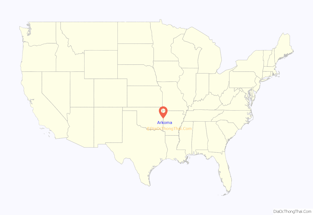
Arkoma location map. Where is Arkoma town?
History
The community of Arkoma was established circa 1911 on land owned by Captain James Reynolds, a Civil War veteran who had married into the Choctaw Nation. He decided to develop his property as a suburb of Fort Smith, constructed houses to rent, and persuaded the Fort Smith Light and Traction Company to build tracks and run a regular electric trolley route to his new community. The streetcar line ceased operating in 1917.
Arkoma was incorporated as a town in 1946.
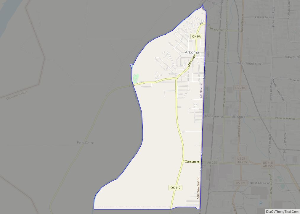
Arkoma Road Map
Arkoma city Satellite Map
Geography
Arkoma is located at 35°20′58″N 94°26′15″W / 35.34944°N 94.43750°W / 35.34944; -94.43750 (35.349516, -94.437558). It is located on the same side of the Arkansas River as Fort Smith, Arkansas, and is bounded by the Poteau River to the west and north, and the Arkansas–Oklahoma state line to the east.
According to the United States Census Bureau, the town has a total area of 3.6 square miles (9.3 km), of which 3.5 square miles (9.1 km) is land and 0.1 square miles (0.26 km) (2.23%) is water.
Arkoma enjoys a temperate climate with often mild winters and hot summers. Arkoma is near an area known as Tornado Alley.
See also
Map of Oklahoma State and its subdivision:- Adair
- Alfalfa
- Atoka
- Beaver
- Beckham
- Blaine
- Bryan
- Caddo
- Canadian
- Carter
- Cherokee
- Choctaw
- Cimarron
- Cleveland
- Coal
- Comanche
- Cotton
- Craig
- Creek
- Custer
- Delaware
- Dewey
- Ellis
- Garfield
- Garvin
- Grady
- Grant
- Greer
- Harmon
- Harper
- Haskell
- Hughes
- Jackson
- Jefferson
- Johnston
- Kay
- Kingfisher
- Kiowa
- Latimer
- Le Flore
- Lincoln
- Logan
- Love
- Major
- Marshall
- Mayes
- McClain
- McCurtain
- McIntosh
- Murray
- Muskogee
- Noble
- Nowata
- Okfuskee
- Oklahoma
- Okmulgee
- Osage
- Ottawa
- Pawnee
- Payne
- Pittsburg
- Pontotoc
- Pottawatomie
- Pushmataha
- Roger Mills
- Rogers
- Seminole
- Sequoyah
- Stephens
- Texas
- Tillman
- Tulsa
- Wagoner
- Washington
- Washita
- Woods
- Woodward
- Alabama
- Alaska
- Arizona
- Arkansas
- California
- Colorado
- Connecticut
- Delaware
- District of Columbia
- Florida
- Georgia
- Hawaii
- Idaho
- Illinois
- Indiana
- Iowa
- Kansas
- Kentucky
- Louisiana
- Maine
- Maryland
- Massachusetts
- Michigan
- Minnesota
- Mississippi
- Missouri
- Montana
- Nebraska
- Nevada
- New Hampshire
- New Jersey
- New Mexico
- New York
- North Carolina
- North Dakota
- Ohio
- Oklahoma
- Oregon
- Pennsylvania
- Rhode Island
- South Carolina
- South Dakota
- Tennessee
- Texas
- Utah
- Vermont
- Virginia
- Washington
- West Virginia
- Wisconsin
- Wyoming
