Bethel Acres is a town in Pottawatomie County, Oklahoma. The population was 2,895 at the time of the 2010 census, an increase of 5.9 percent from the figure of 2,735 in 2000. It is primarily a bedroom community for people who work in the three nearby larger cities of Shawnee, Tecumseh and Oklahoma City.
| Name: | Bethel Acres town |
|---|---|
| LSAD Code: | 43 |
| LSAD Description: | town (suffix) |
| State: | Oklahoma |
| County: | Pottawatomie County |
| Elevation: | 1,125 ft (343 m) |
| Total Area: | 28.28 sq mi (73.24 km²) |
| Land Area: | 28.27 sq mi (73.22 km²) |
| Water Area: | 0.01 sq mi (0.03 km²) |
| Total Population: | 3,029 |
| Population Density: | 107.15/sq mi (41.37/km²) |
| FIPS code: | 4005800 |
| GNISfeature ID: | 1102929 |
Online Interactive Map
Click on ![]() to view map in "full screen" mode.
to view map in "full screen" mode.
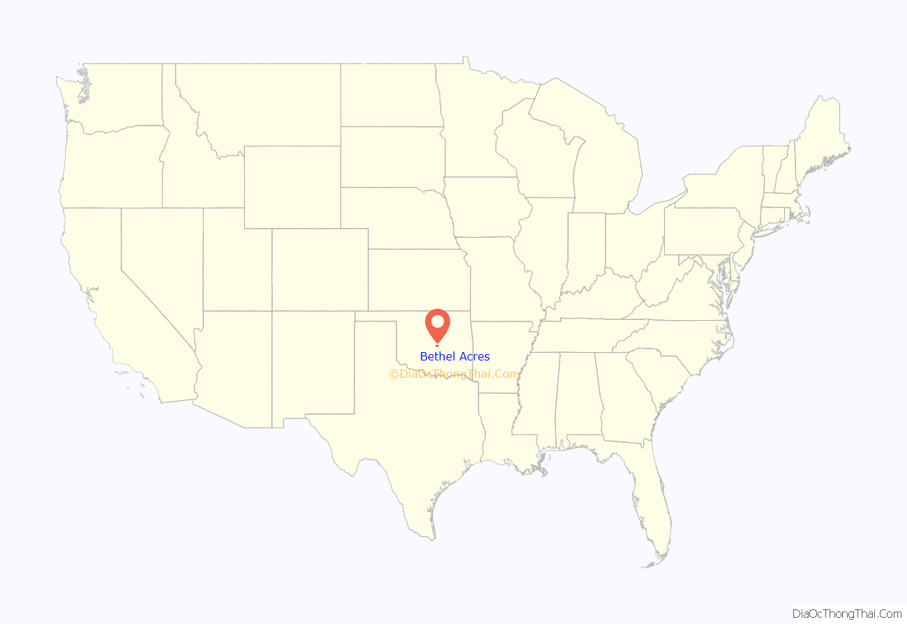
Bethel Acres location map. Where is Bethel Acres town?
History
The area comprising the present Bethel Acres was opened to non-Indian settlement September 22, 1891. The people who settled here established the Bethel school district. Bethel Acres was not incorporated until April 24, 1962, when the residents feared annexation by Shawnee, Tecumseh or Oklahoma City. They wanted to protect their rural lifestyle, especially to be free to keep livestock on their property.
In 1970, Bethel Acres had 1,083 residents. The number jumped to 2,314 in 1980 and has continued to increase through the 2010 census. Over 97 percent of the employed residents commute to work in Oklahoma City, Shawnee and Tecumseh.
On May 19, 2013, an EF4 tornado tore through Northwest Bethel Acres, and a mobile home park sustained a direct hit from this tornado, killing one person and injuring six others, two critically. This was part of the tornado outbreak of May 18–21, 2013.
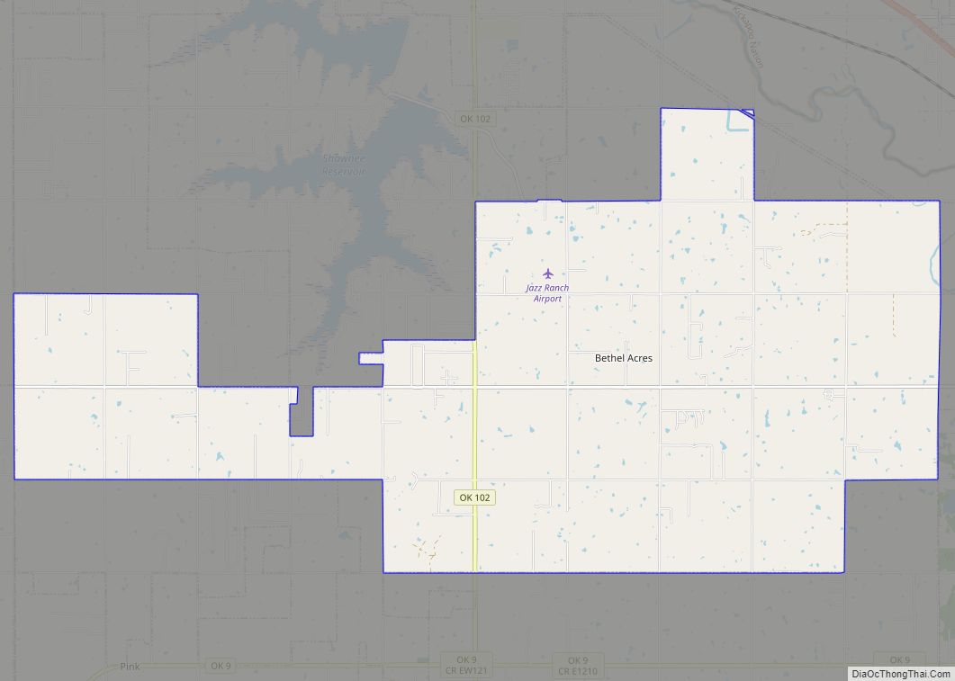
Bethel Acres Road Map
Bethel Acres city Satellite Map
Geography
Bethel Acres is located at 35°18′41″N 97°1′39″W / 35.31139°N 97.02750°W / 35.31139; -97.02750 (35.311381, -97.027550). It is 4 miles (6.4 km) west of Shawnee.
According to the United States Census Bureau, the town has a total area of 28.2 square miles (73 km), of which 28.2 square miles (73 km) is land and 0.04 square miles (0.10 km) (0.07%) is water.
See also
Map of Oklahoma State and its subdivision:- Adair
- Alfalfa
- Atoka
- Beaver
- Beckham
- Blaine
- Bryan
- Caddo
- Canadian
- Carter
- Cherokee
- Choctaw
- Cimarron
- Cleveland
- Coal
- Comanche
- Cotton
- Craig
- Creek
- Custer
- Delaware
- Dewey
- Ellis
- Garfield
- Garvin
- Grady
- Grant
- Greer
- Harmon
- Harper
- Haskell
- Hughes
- Jackson
- Jefferson
- Johnston
- Kay
- Kingfisher
- Kiowa
- Latimer
- Le Flore
- Lincoln
- Logan
- Love
- Major
- Marshall
- Mayes
- McClain
- McCurtain
- McIntosh
- Murray
- Muskogee
- Noble
- Nowata
- Okfuskee
- Oklahoma
- Okmulgee
- Osage
- Ottawa
- Pawnee
- Payne
- Pittsburg
- Pontotoc
- Pottawatomie
- Pushmataha
- Roger Mills
- Rogers
- Seminole
- Sequoyah
- Stephens
- Texas
- Tillman
- Tulsa
- Wagoner
- Washington
- Washita
- Woods
- Woodward
- Alabama
- Alaska
- Arizona
- Arkansas
- California
- Colorado
- Connecticut
- Delaware
- District of Columbia
- Florida
- Georgia
- Hawaii
- Idaho
- Illinois
- Indiana
- Iowa
- Kansas
- Kentucky
- Louisiana
- Maine
- Maryland
- Massachusetts
- Michigan
- Minnesota
- Mississippi
- Missouri
- Montana
- Nebraska
- Nevada
- New Hampshire
- New Jersey
- New Mexico
- New York
- North Carolina
- North Dakota
- Ohio
- Oklahoma
- Oregon
- Pennsylvania
- Rhode Island
- South Carolina
- South Dakota
- Tennessee
- Texas
- Utah
- Vermont
- Virginia
- Washington
- West Virginia
- Wisconsin
- Wyoming
