Tecumseh (Meskwaki: Takamithîheki) is a city in Pottawatomie County, Oklahoma. The population was 6,457 at the 2010 census, a 5.9 percent increase from the figure of 6,098 in 2000. It was named for the noted Shawnee chief, Tecumseh. It was designated as the county seat at Oklahoma’s statehood, but a county-wide election moved the seat to Shawnee in 1930.
| Name: | Tecumseh city |
|---|---|
| LSAD Code: | 25 |
| LSAD Description: | city (suffix) |
| State: | Oklahoma |
| County: | Pottawatomie County |
| Elevation: | 1,083 ft (330 m) |
| Total Area: | 15.25 sq mi (39.50 km²) |
| Land Area: | 15.02 sq mi (38.90 km²) |
| Water Area: | 0.23 sq mi (0.60 km²) |
| Total Population: | 6,302 |
| Population Density: | 419.60/sq mi (162.01/km²) |
| ZIP code: | 74873 |
| Area code: | 405/572 |
| FIPS code: | 4072650 |
| GNISfeature ID: | 1098783 |
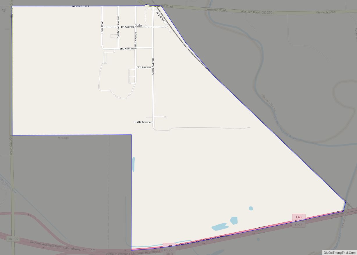
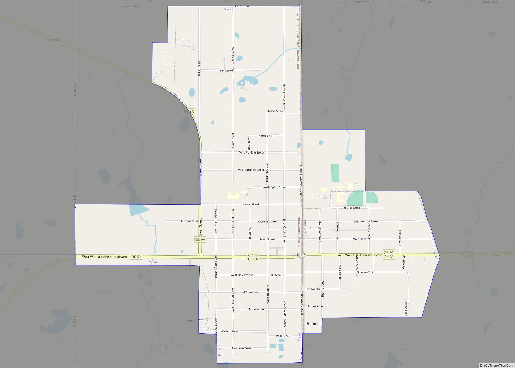
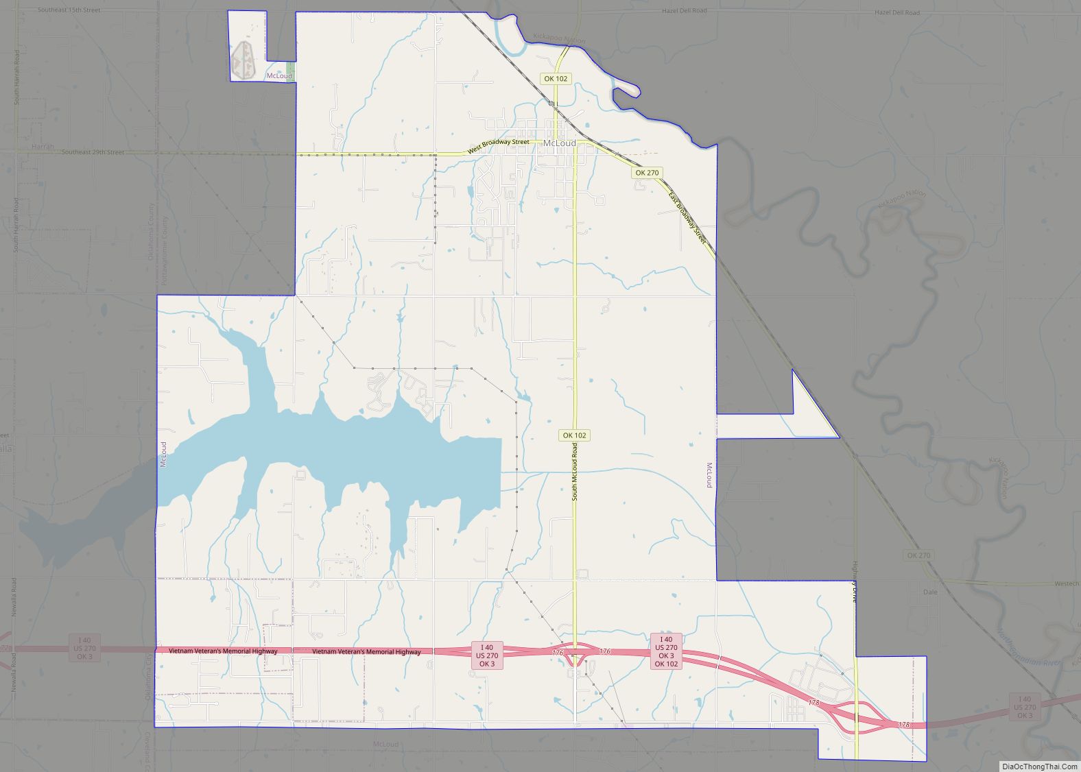
Online Interactive Map
Click on ![]() to view map in "full screen" mode.
to view map in "full screen" mode.
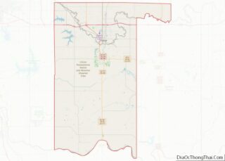
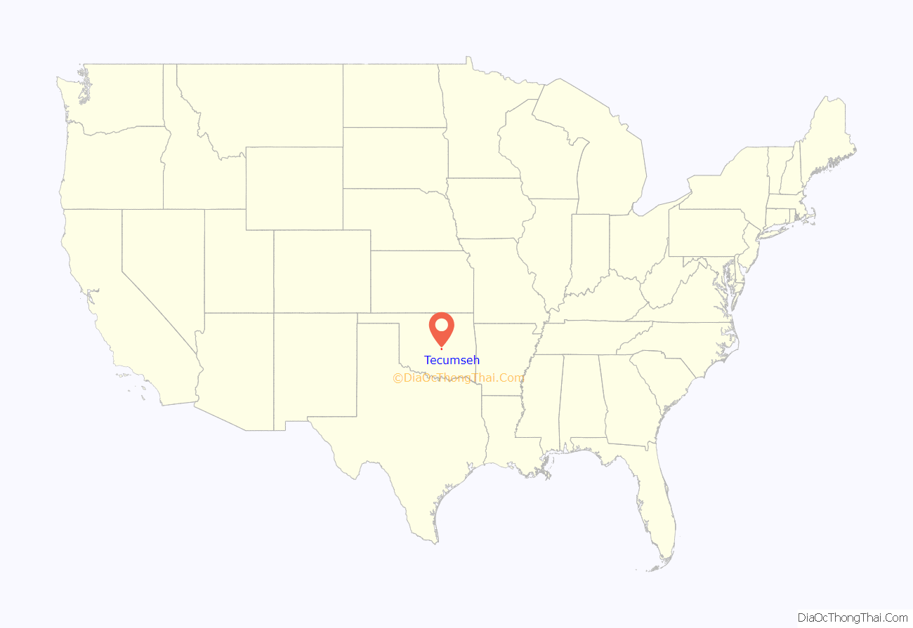
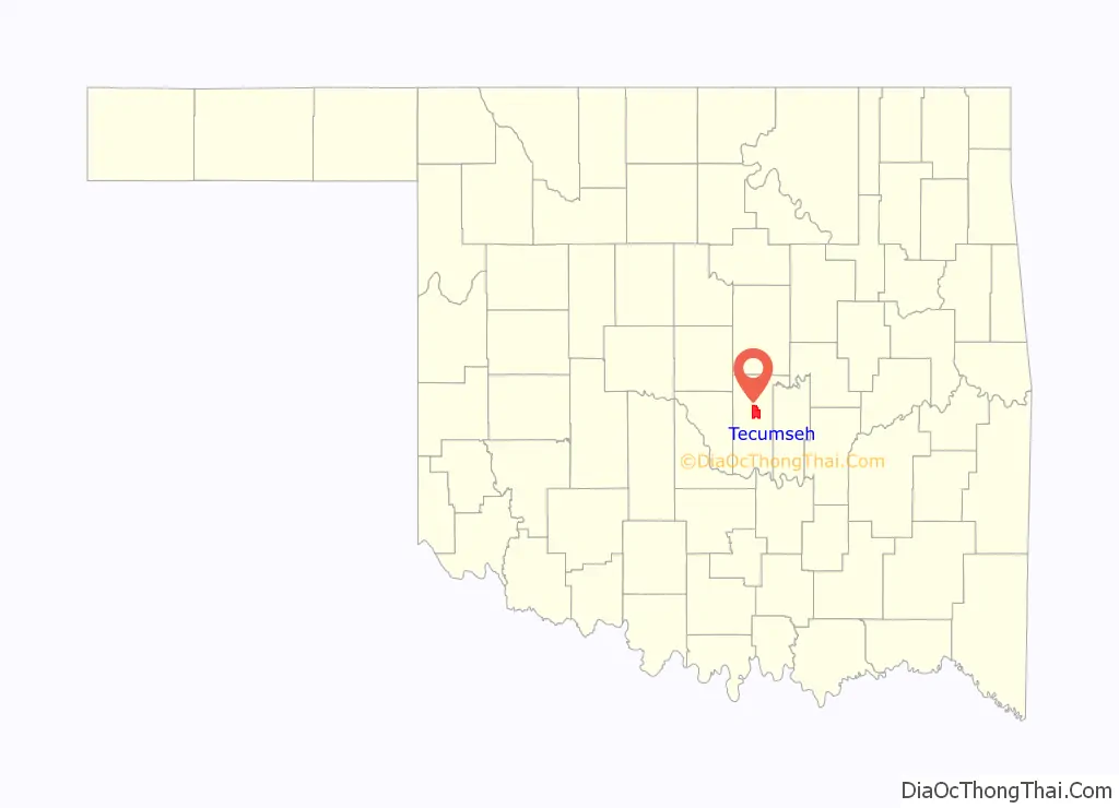
Tecumseh location map. Where is Tecumseh city?
History
A 320-acre (129.5 hectare) site was opened for settlement September 23, 1891, as a result of the land run into reservations of the Sac and Fox, Kiowa, Kickapoo, Shawnee and Pottawatomi peoples. The townsite, named Tecumseh by a U.S. Army Major, had been designated as the seat of County “B” in the newly formed Oklahoma Territory by the Department of the Interior on July 17, 1891. A post office was established in the town on September 18, 1891.
Railroads first arrived in 1896, when the Tecumseh Railway built a line in from Shawnee. This trackage, acquired by the Choctaw, Oklahoma and Gulf Railroad, was extended to Asher in 1902, and was later owned by the Rock Island. In 1903 the Atchison, Topeka and Santa Fe Railway began serving Tecumseh’s surrounding agricultural region, in which cotton was the main crop. Cotton production dropped in the 1920s because of depressed prices and a boll weevil infestation. The population declined for a time after 1930, because many townspeople moved away to earn a living elsewhere.
In 2002, the Supreme Court of the United States evaluated whether it was lawful to require students from Tecumseh schools to take drug tests in order to participate in extracurricular activities. In a 5–4 decision, the court ruled that the tests were allowable in Board of Education v. Earls.
2010 tornado
On Monday May 10, 2010, the city was struck by an EF3 tornado. The city’s southeast side sustained the most damage, with several homes along East Highland Street were severely damaged or destroyed. Three churches were also damaged. The tornado was the first to strike the town since the May 17, 1981, tornado that hit the rural southern part of the town and was the first tornado to go through the city proper since records have been kept in 1950.
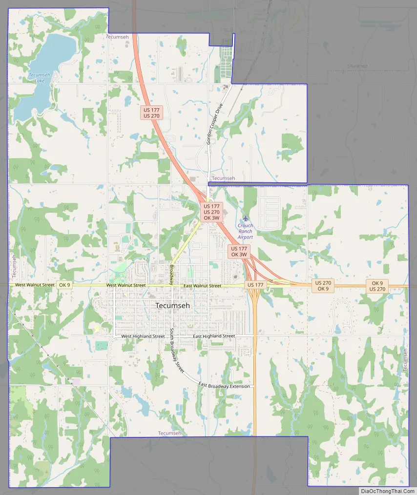
Tecumseh Road Map
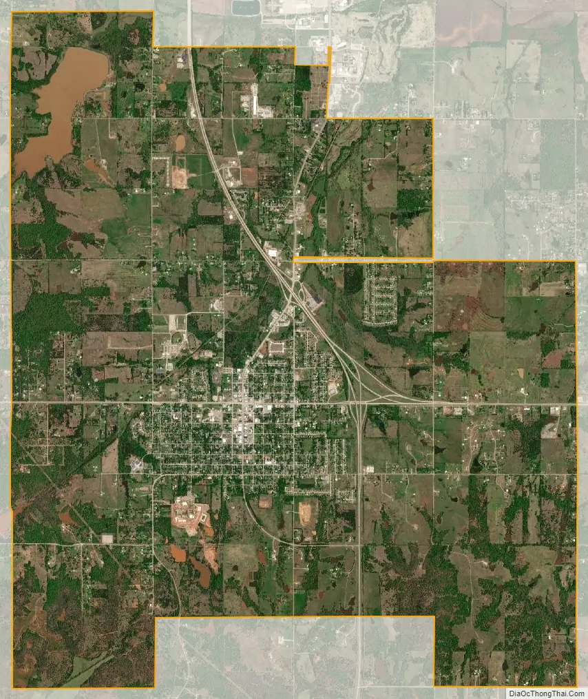
Tecumseh city Satellite Map
Geography
Tecumseh is located at 35°15′44″N 96°56′5″W / 35.26222°N 96.93472°W / 35.26222; -96.93472 (35.262346, -96.934830).
According to the United States Census Bureau, the city has a total area of 15.3 square miles (40 km), of which 15.0 square miles (39 km) is land and 0.2 square miles (0.52 km) (1.57%) is water.
See also
Map of Oklahoma State and its subdivision:- Adair
- Alfalfa
- Atoka
- Beaver
- Beckham
- Blaine
- Bryan
- Caddo
- Canadian
- Carter
- Cherokee
- Choctaw
- Cimarron
- Cleveland
- Coal
- Comanche
- Cotton
- Craig
- Creek
- Custer
- Delaware
- Dewey
- Ellis
- Garfield
- Garvin
- Grady
- Grant
- Greer
- Harmon
- Harper
- Haskell
- Hughes
- Jackson
- Jefferson
- Johnston
- Kay
- Kingfisher
- Kiowa
- Latimer
- Le Flore
- Lincoln
- Logan
- Love
- Major
- Marshall
- Mayes
- McClain
- McCurtain
- McIntosh
- Murray
- Muskogee
- Noble
- Nowata
- Okfuskee
- Oklahoma
- Okmulgee
- Osage
- Ottawa
- Pawnee
- Payne
- Pittsburg
- Pontotoc
- Pottawatomie
- Pushmataha
- Roger Mills
- Rogers
- Seminole
- Sequoyah
- Stephens
- Texas
- Tillman
- Tulsa
- Wagoner
- Washington
- Washita
- Woods
- Woodward
- Alabama
- Alaska
- Arizona
- Arkansas
- California
- Colorado
- Connecticut
- Delaware
- District of Columbia
- Florida
- Georgia
- Hawaii
- Idaho
- Illinois
- Indiana
- Iowa
- Kansas
- Kentucky
- Louisiana
- Maine
- Maryland
- Massachusetts
- Michigan
- Minnesota
- Mississippi
- Missouri
- Montana
- Nebraska
- Nevada
- New Hampshire
- New Jersey
- New Mexico
- New York
- North Carolina
- North Dakota
- Ohio
- Oklahoma
- Oregon
- Pennsylvania
- Rhode Island
- South Carolina
- South Dakota
- Tennessee
- Texas
- Utah
- Vermont
- Virginia
- Washington
- West Virginia
- Wisconsin
- Wyoming