Blackburn is a town in Pawnee County, Oklahoma, United States. The population was 108 at the 2010 census, up 5.9 percent from the figure of 102 recorded in 2000. It is 12 miles (19 km) east of the city of Pawnee.
| Name: | Blackburn town |
|---|---|
| LSAD Code: | 43 |
| LSAD Description: | town (suffix) |
| State: | Oklahoma |
| County: | Pawnee County |
| Elevation: | 810 ft (247 m) |
| Total Area: | 0.32 sq mi (0.84 km²) |
| Land Area: | 0.29 sq mi (0.76 km²) |
| Water Area: | 0.03 sq mi (0.07 km²) |
| Total Population: | 70 |
| Population Density: | 237.29/sq mi (91.53/km²) |
| FIPS code: | 4006450 |
| GNISfeature ID: | 1090220 |
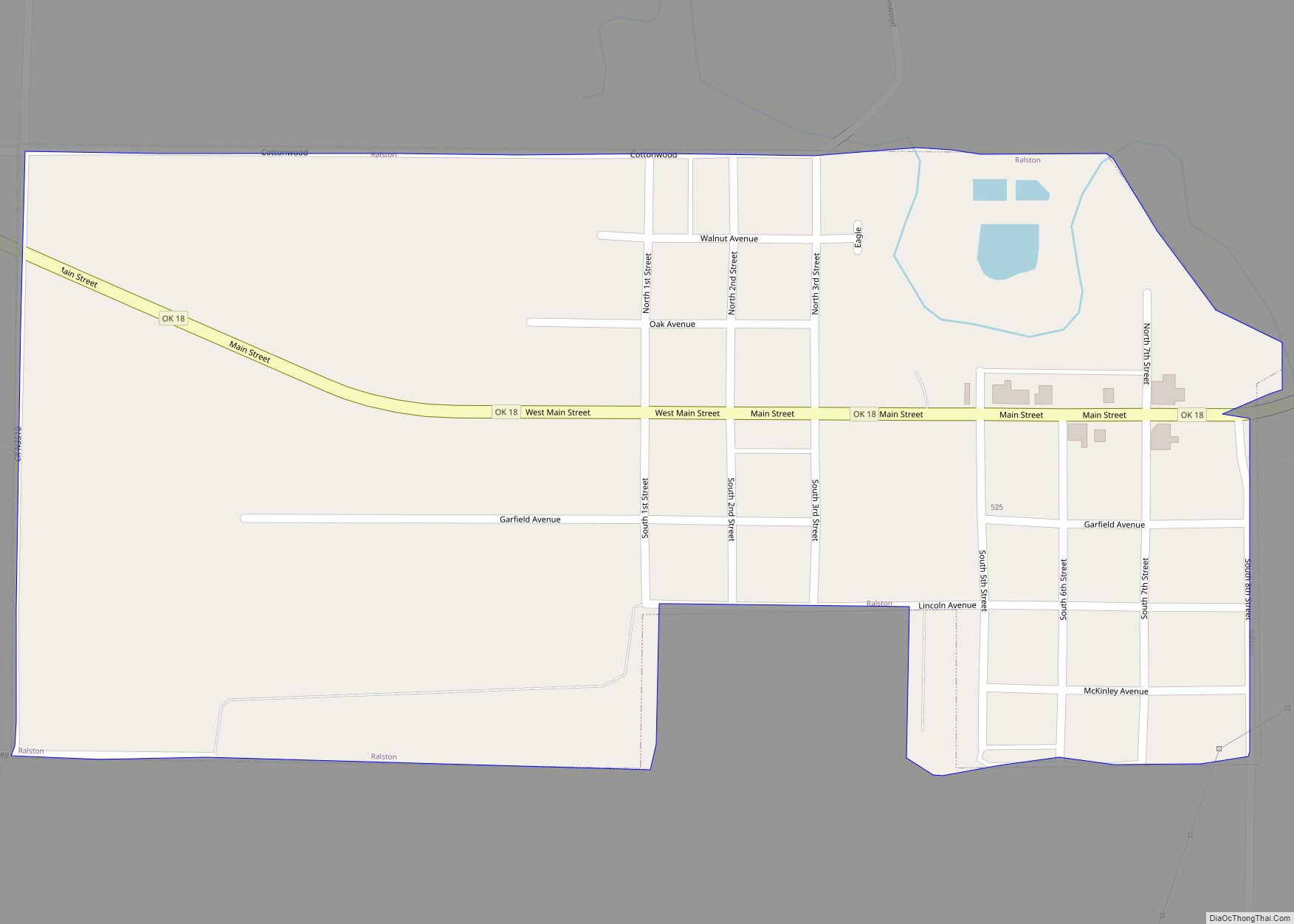
Online Interactive Map
Click on ![]() to view map in "full screen" mode.
to view map in "full screen" mode.
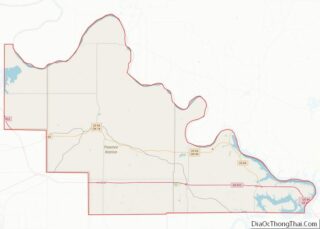
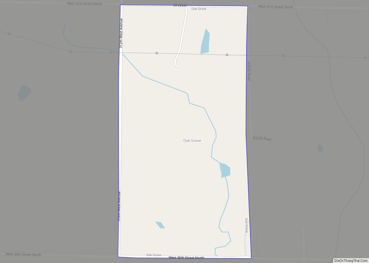
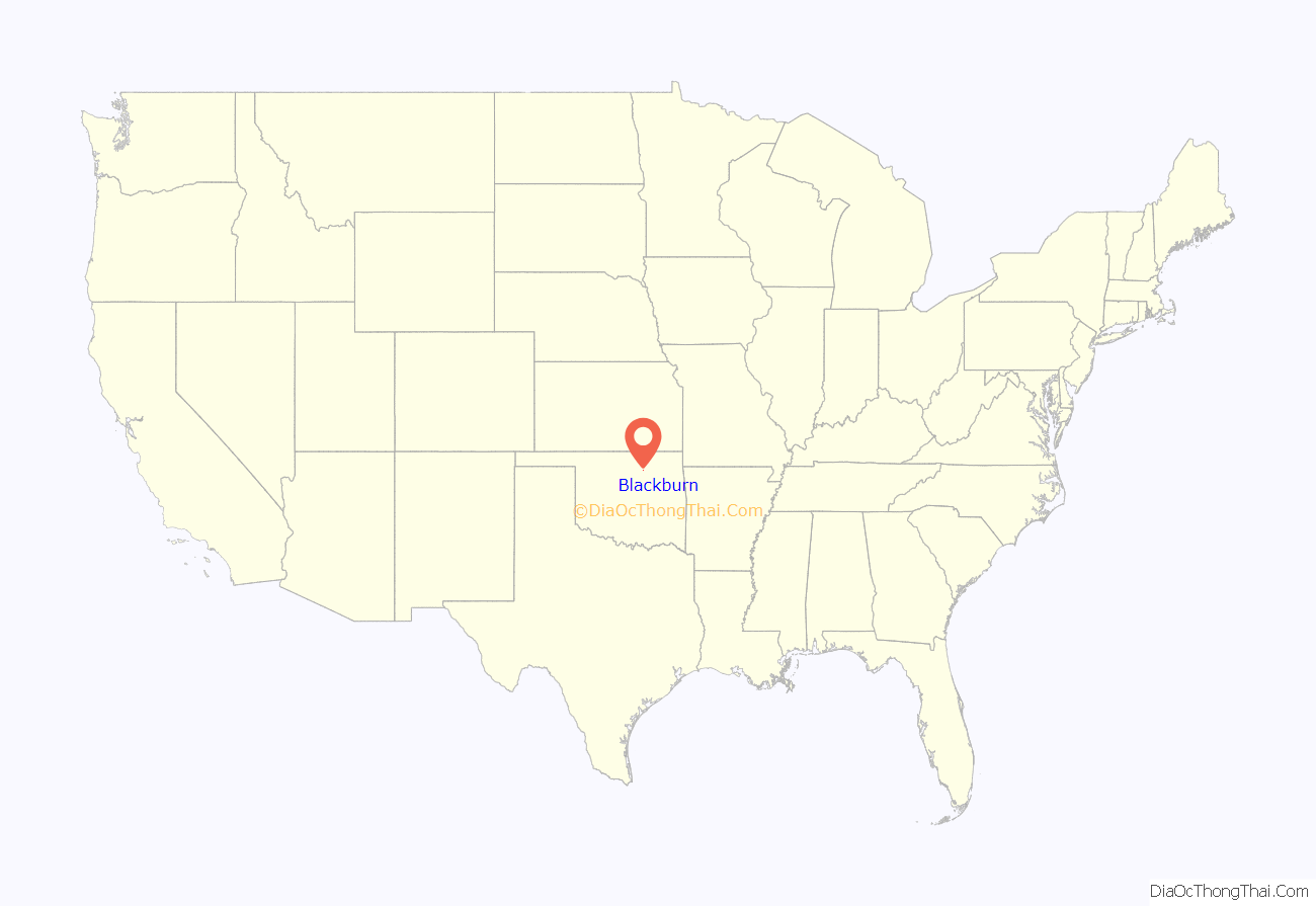
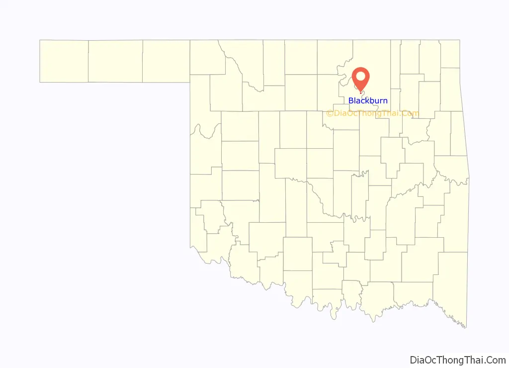
Blackburn location map. Where is Blackburn town?
History
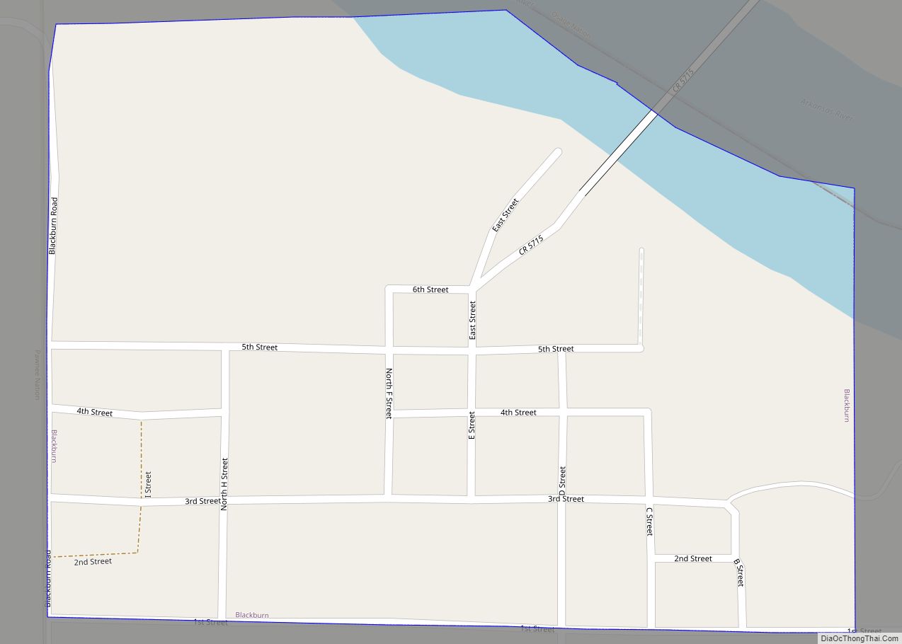
Located on the south side of the Arkansas River at a natural ford, the community of Blackburn developed after the opening of the Cherokee Outlet on September 16, 1893. It was named for Kentucky Senator Joseph C. S. Blackburn. A post office was established December 15, 1893. Because it was located in Oklahoma Territory, Blackburn was a “whiskey town” that bordered Indian Territory until statehood in 1907. The town was incorporated April 21, 1909.
While historically Blackburn’s economy was based on agriculture, in the twenty-first century, the town serves primarily as a bedroom community for commuters to Pawnee and other job centers.
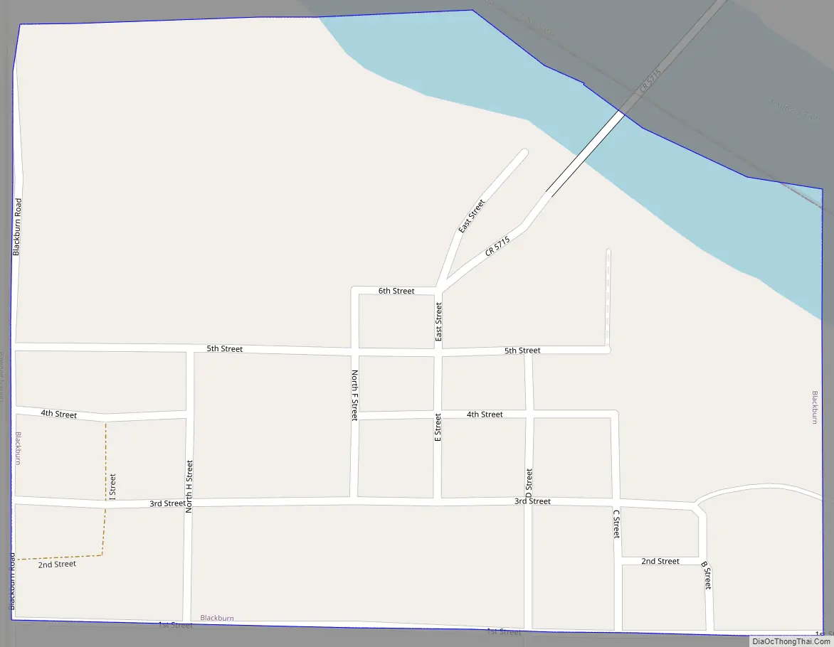
Blackburn Road Map
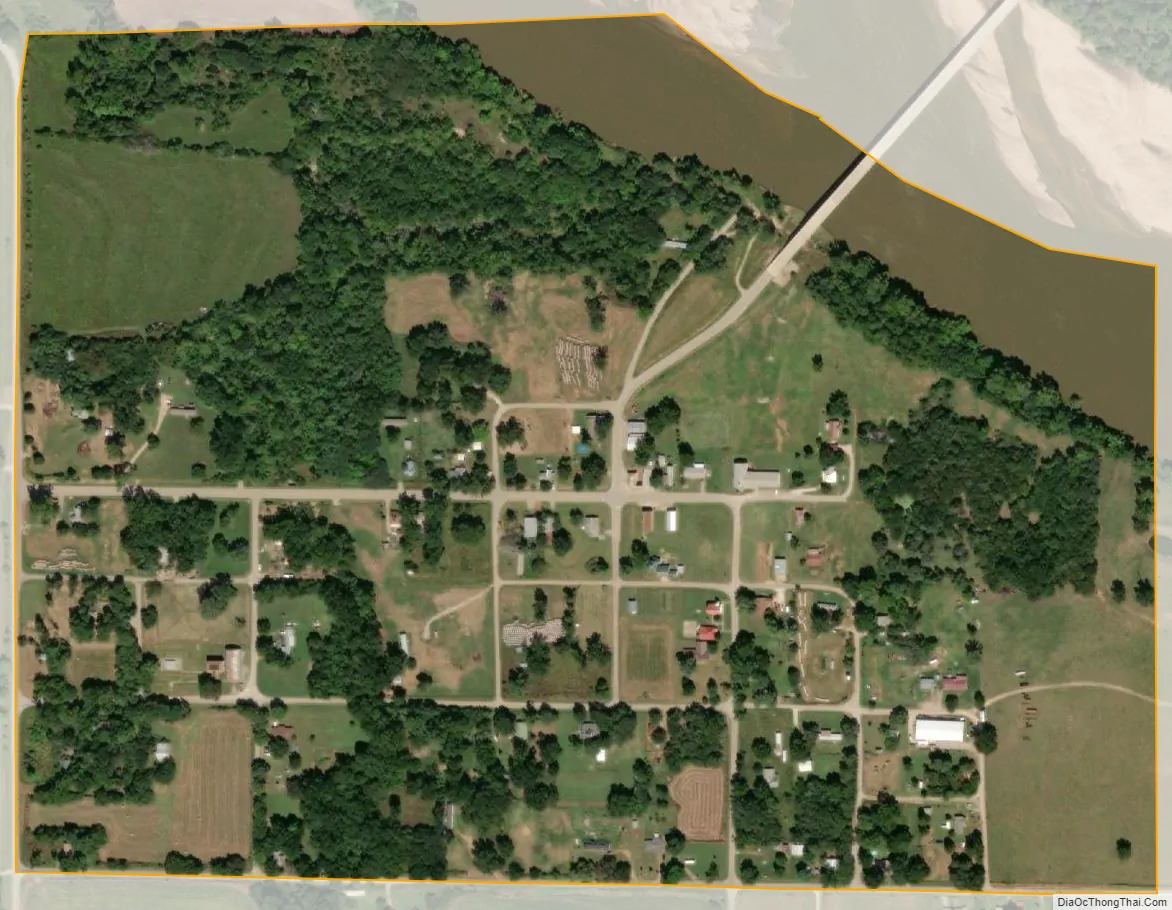
Blackburn city Satellite Map
Geography
Blackburn is located at 36°22′18″N 96°35′47″W / 36.37167°N 96.59639°W / 36.37167; -96.59639 (36.371655, −96.596497). According to the United States Census Bureau, the town has a total area of 0.3 square miles (0.78 km), of which 0.3 square miles (0.78 km) is land and 0.04 square miles (0.10 km) (6.25%) is water.
See also
Map of Oklahoma State and its subdivision:- Adair
- Alfalfa
- Atoka
- Beaver
- Beckham
- Blaine
- Bryan
- Caddo
- Canadian
- Carter
- Cherokee
- Choctaw
- Cimarron
- Cleveland
- Coal
- Comanche
- Cotton
- Craig
- Creek
- Custer
- Delaware
- Dewey
- Ellis
- Garfield
- Garvin
- Grady
- Grant
- Greer
- Harmon
- Harper
- Haskell
- Hughes
- Jackson
- Jefferson
- Johnston
- Kay
- Kingfisher
- Kiowa
- Latimer
- Le Flore
- Lincoln
- Logan
- Love
- Major
- Marshall
- Mayes
- McClain
- McCurtain
- McIntosh
- Murray
- Muskogee
- Noble
- Nowata
- Okfuskee
- Oklahoma
- Okmulgee
- Osage
- Ottawa
- Pawnee
- Payne
- Pittsburg
- Pontotoc
- Pottawatomie
- Pushmataha
- Roger Mills
- Rogers
- Seminole
- Sequoyah
- Stephens
- Texas
- Tillman
- Tulsa
- Wagoner
- Washington
- Washita
- Woods
- Woodward
- Alabama
- Alaska
- Arizona
- Arkansas
- California
- Colorado
- Connecticut
- Delaware
- District of Columbia
- Florida
- Georgia
- Hawaii
- Idaho
- Illinois
- Indiana
- Iowa
- Kansas
- Kentucky
- Louisiana
- Maine
- Maryland
- Massachusetts
- Michigan
- Minnesota
- Mississippi
- Missouri
- Montana
- Nebraska
- Nevada
- New Hampshire
- New Jersey
- New Mexico
- New York
- North Carolina
- North Dakota
- Ohio
- Oklahoma
- Oregon
- Pennsylvania
- Rhode Island
- South Carolina
- South Dakota
- Tennessee
- Texas
- Utah
- Vermont
- Virginia
- Washington
- West Virginia
- Wisconsin
- Wyoming