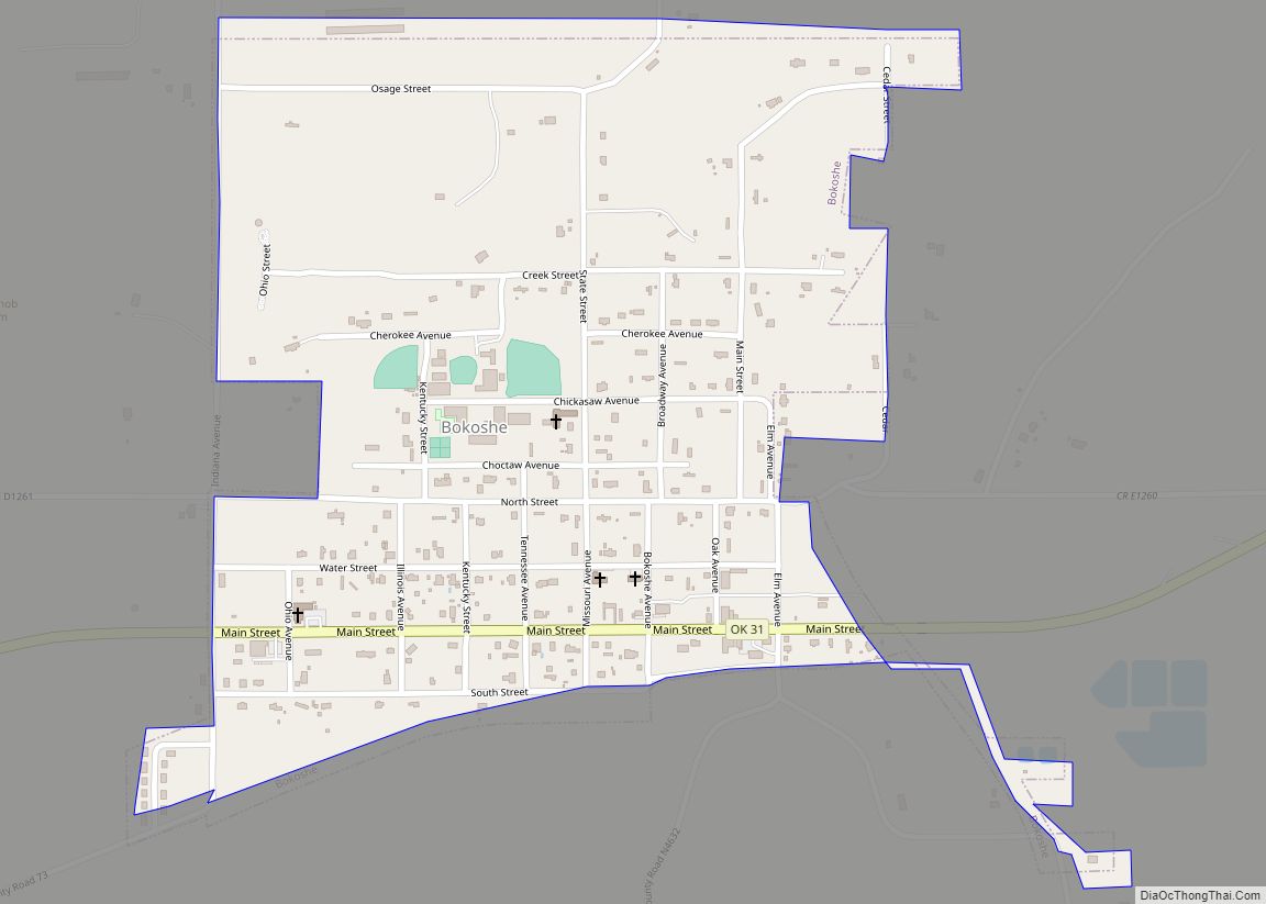
Bokoshe (/bəˈkoʊʃə/ bə-KOH-shə) is a town in Le Flore County, Oklahoma, United States. It is part of the Fort Smith, Arkansas-Oklahoma metropolitan statistical area. Bokoshe is a Choctaw word meaning “little creek”. The population was 396 at the 2020 census, a 22.3% decrease over the figure of 510 recorded in 2010.
| Name: | Bokoshe town |
|---|---|
| LSAD Code: | 43 |
| LSAD Description: | town (suffix) |
| State: | Oklahoma |
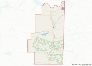
| County: | Le Flore County |
| Elevation: | 515 ft (157 m) |
| Total Area: | 0.55 sq mi (1.42 km²) |
| Land Area: | 0.55 sq mi (1.42 km²) |
| Water Area: | 0.00 sq mi (0.00 km²) |
| Total Population: | 396 |
| Population Density: | 723.95/sq mi (279.53/km²) |
| ZIP code: | 74930 |
| FIPS code: | 4007450 |
| GNISfeature ID: | 1090373 |
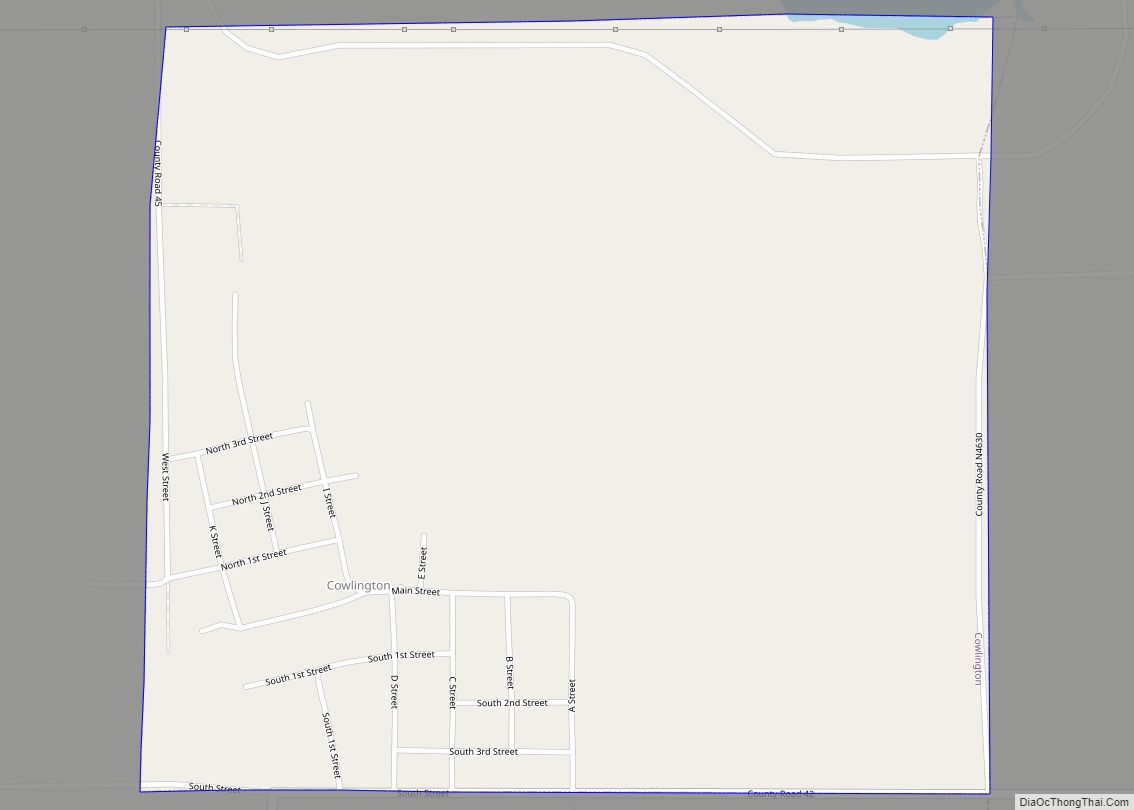
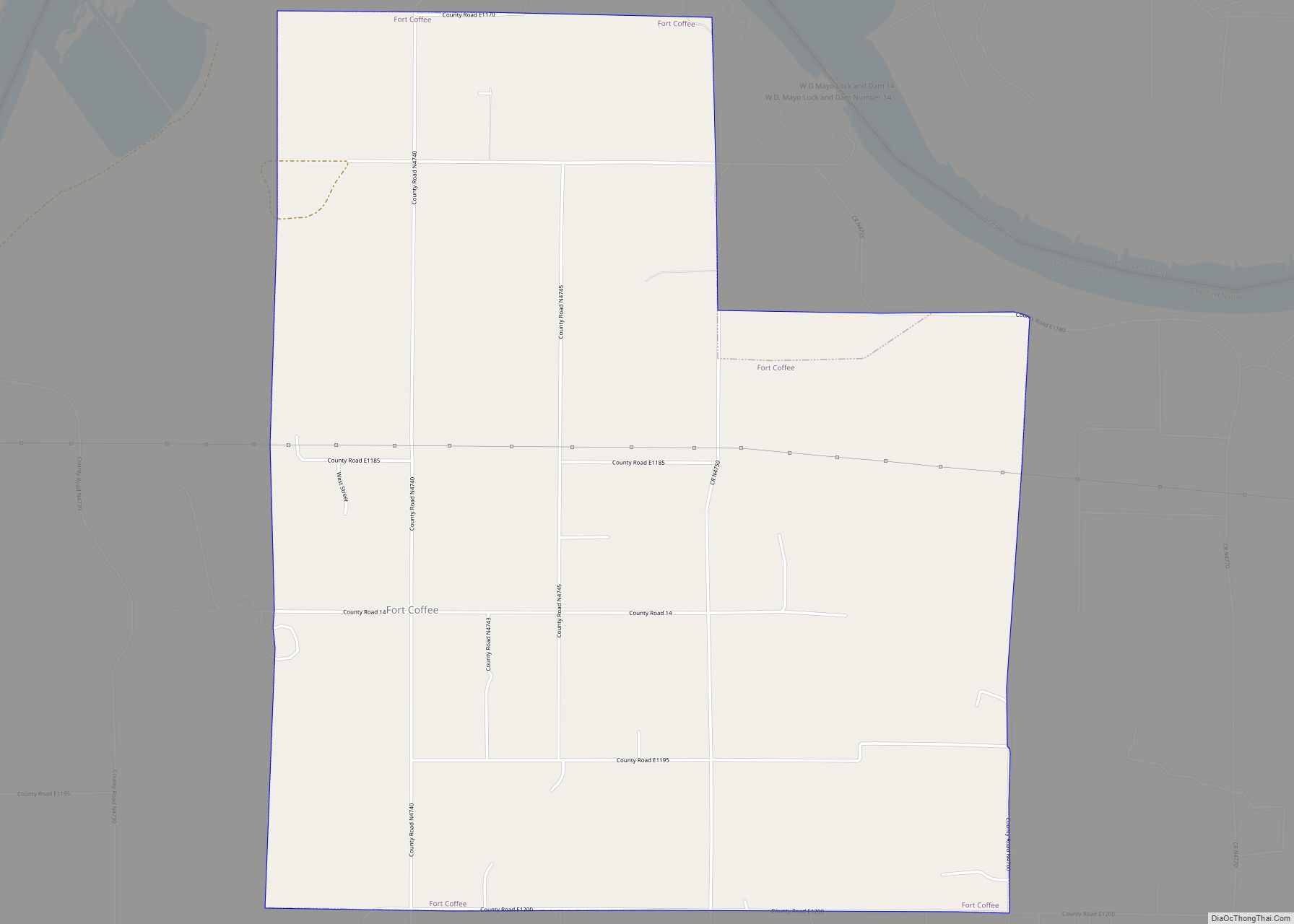
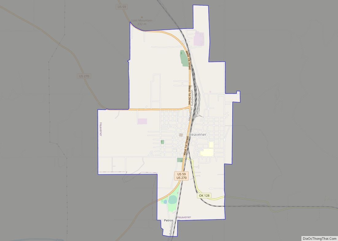
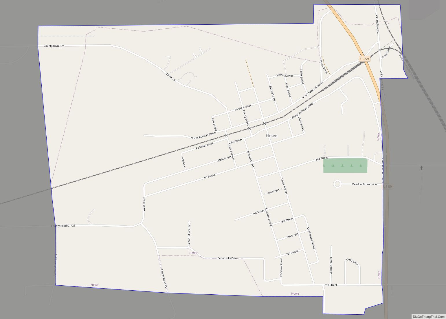
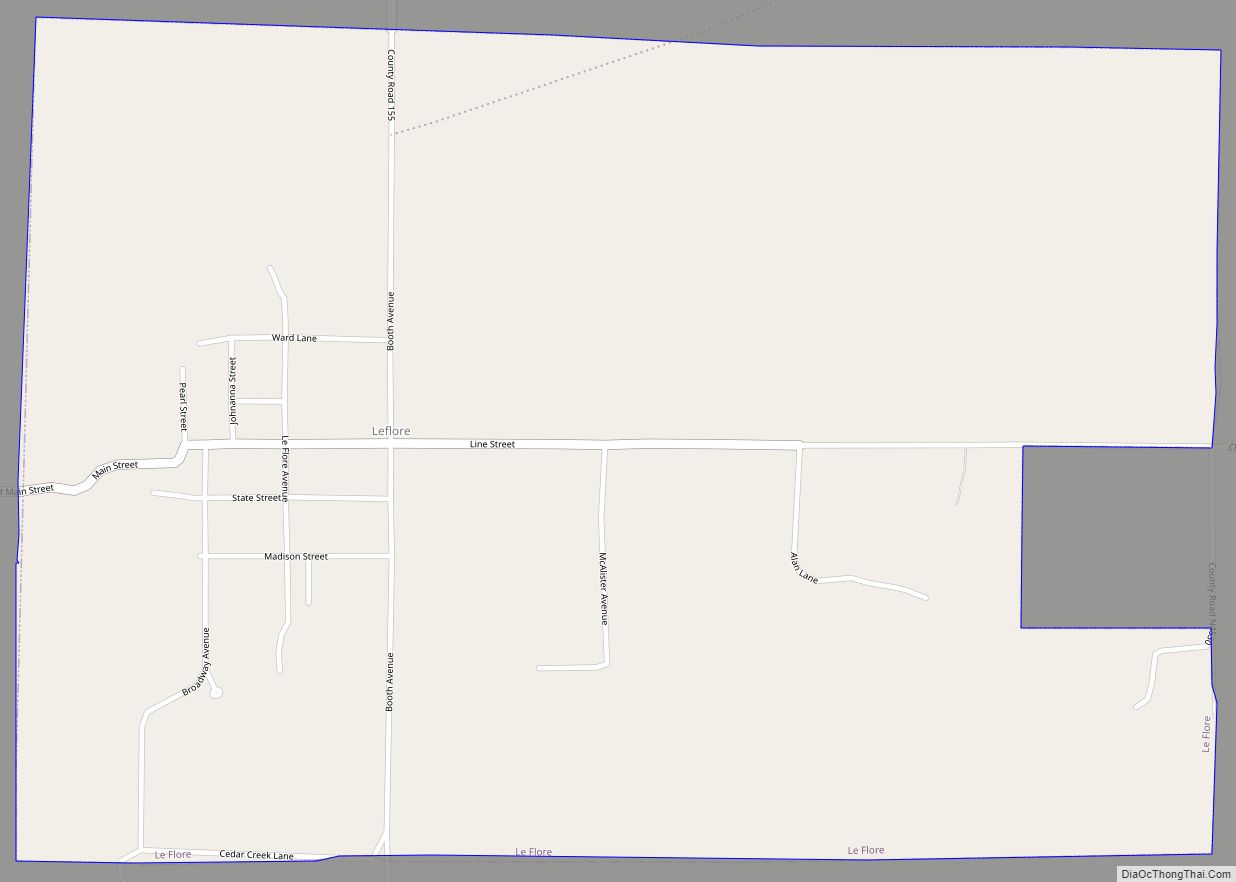
Online Interactive Map
Click on ![]() to view map in "full screen" mode.
to view map in "full screen" mode.
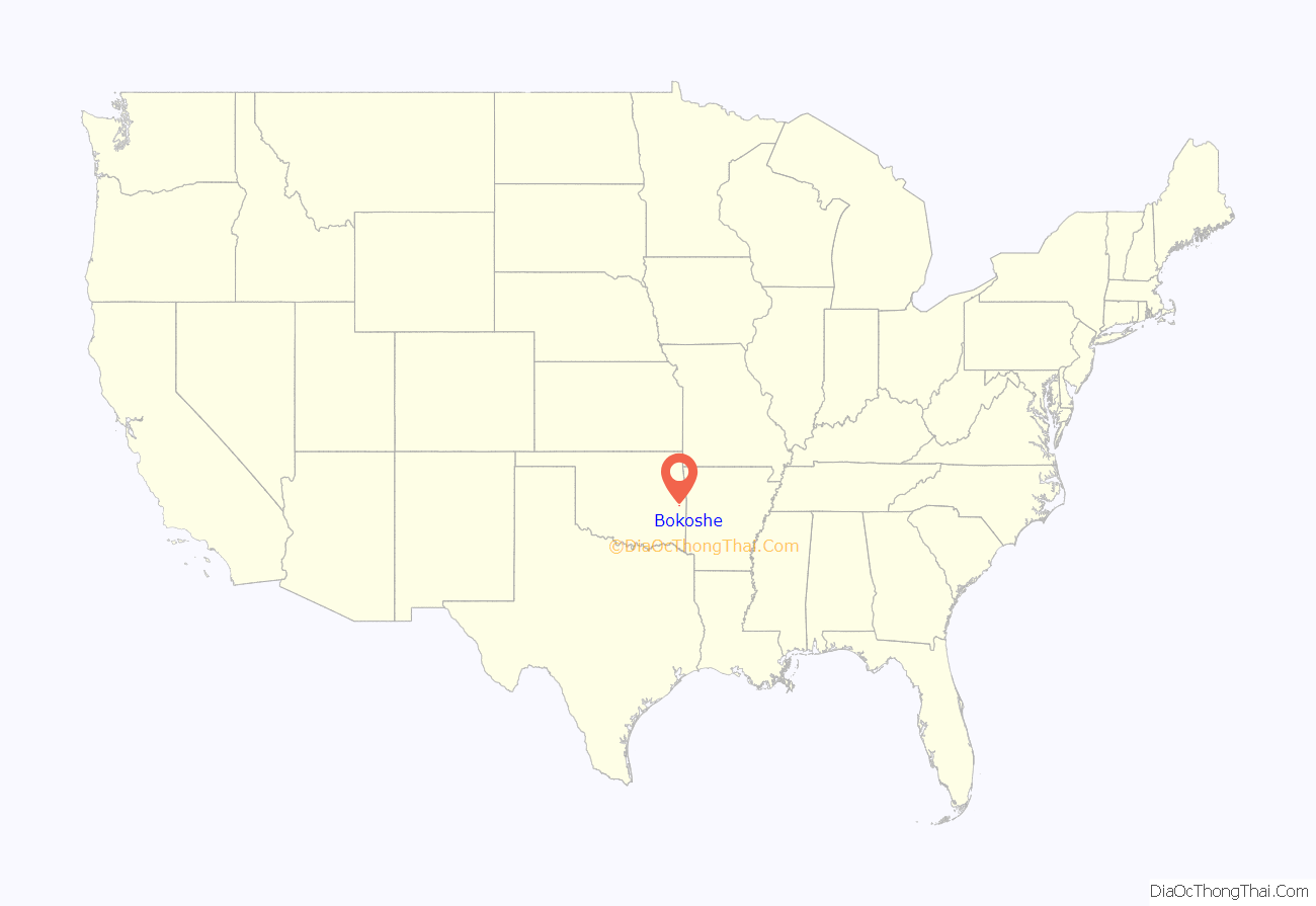
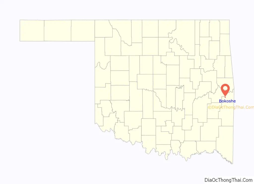
Bokoshe location map. Where is Bokoshe town?
History
Bokoshe was a Choctaw settlement in 1886, when a post office was established, with William A. Sanner serving as the first Postmaster. At the time of its founding, Bokoshe was located in the Moshulatubbee District of the Choctaw Nation. The principal business was a coal mine that employed 10 miners. By 1900, the population was 153. The Fort Smith and Western Railway built tracks in 1901 to this area to ship the coal elsewhere. The Midland Valley Railroad built its own line in 1903-1904. The town moved south from its initial location to the intersection of the two railroads. Two other coal mines soon opened nearby, and the population grew to 483 by 1910. By 1920, the census reported a population of 869.
Bokoshe’s mines fared better during the Great Depression than those elsewhere in the state. By 1930, the population had declined to 690, and continued dropping to 431 in 1960. The coal industry recovered and the town’s population rebounded to 588 in 1970, then fell again to 403 in 1990. The population was 450 in 2000 and 512 in 2010.
On February 1, 1958, the town was the location of a train collision on the Midland Valley Railroad. Westbound train 41 collided head-on with eastbound train 42 on the curve at Bokoshe. Four crew members died and seven were injured. This was the only serious accident in the history of the Midland Valley system.
Bokoshe Road Map
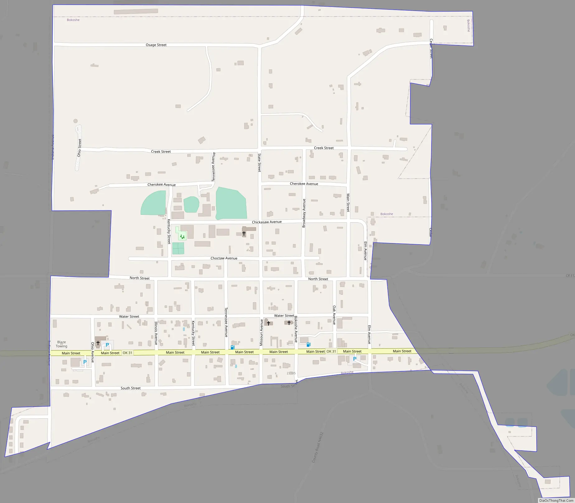
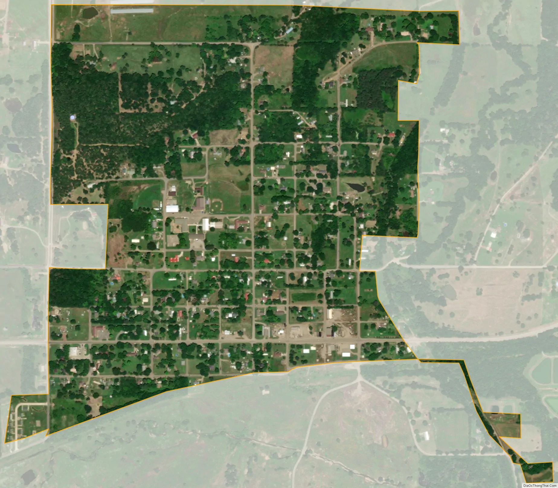
Bokoshe city Satellite Map
Geography
Bokoshe is located at 35°11′17″N 94°47′26″W / 35.18806°N 94.79056°W / 35.18806; -94.79056 (35.188150, -94.790519).
According to the United States Census Bureau, the town has a total area of 0.5 square miles (1.3 km), all land.
See also
Map of Oklahoma State and its subdivision:- Adair
- Alfalfa
- Atoka
- Beaver
- Beckham
- Blaine
- Bryan
- Caddo
- Canadian
- Carter
- Cherokee
- Choctaw
- Cimarron
- Cleveland
- Coal
- Comanche
- Cotton
- Craig
- Creek
- Custer
- Delaware
- Dewey
- Ellis
- Garfield
- Garvin
- Grady
- Grant
- Greer
- Harmon
- Harper
- Haskell
- Hughes
- Jackson
- Jefferson
- Johnston
- Kay
- Kingfisher
- Kiowa
- Latimer
- Le Flore
- Lincoln
- Logan
- Love
- Major
- Marshall
- Mayes
- McClain
- McCurtain
- McIntosh
- Murray
- Muskogee
- Noble
- Nowata
- Okfuskee
- Oklahoma
- Okmulgee
- Osage
- Ottawa
- Pawnee
- Payne
- Pittsburg
- Pontotoc
- Pottawatomie
- Pushmataha
- Roger Mills
- Rogers
- Seminole
- Sequoyah
- Stephens
- Texas
- Tillman
- Tulsa
- Wagoner
- Washington
- Washita
- Woods
- Woodward
- Alabama
- Alaska
- Arizona
- Arkansas
- California
- Colorado
- Connecticut
- Delaware
- District of Columbia
- Florida
- Georgia
- Hawaii
- Idaho
- Illinois
- Indiana
- Iowa
- Kansas
- Kentucky
- Louisiana
- Maine
- Maryland
- Massachusetts
- Michigan
- Minnesota
- Mississippi
- Missouri
- Montana
- Nebraska
- Nevada
- New Hampshire
- New Jersey
- New Mexico
- New York
- North Carolina
- North Dakota
- Ohio
- Oklahoma
- Oregon
- Pennsylvania
- Rhode Island
- South Carolina
- South Dakota
- Tennessee
- Texas
- Utah
- Vermont
- Virginia
- Washington
- West Virginia
- Wisconsin
- Wyoming