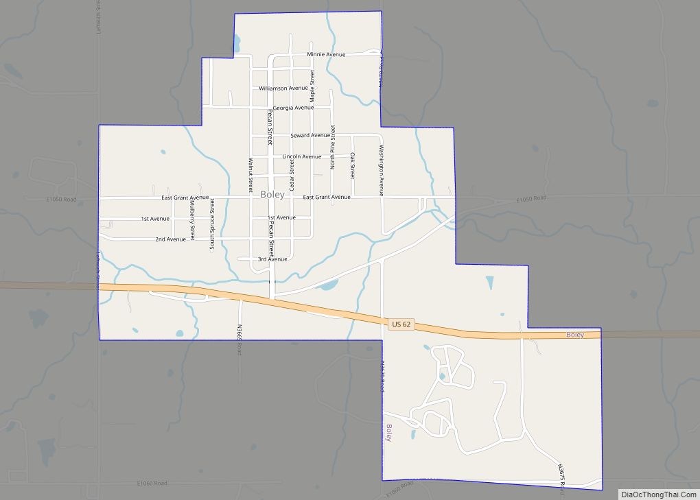
Boley is a town in Okfuskee County, Oklahoma, United States. The population was 1,184 at the 2010 census, a gain of 5.2 percent from the figure of 1,126 recorded in 2000. Boley was incorporated in 1905 as a predominantly Black pioneer town with persons having Native American ancestry among its citizens. Boley is currently home to barbeque equipment maker, Smokaroma, Inc, and the John Lilley Correctional Center.
The Boley Public School District closed the high school in 2007 and the elementary in 2010 due to declining enrollment. The Boley Historic District is a National Historic Landmark. Currently Boley hosts The Annual Boley Rodeo & Bar-B-Que Festival.
| Name: | Boley town |
|---|---|
| LSAD Code: | 43 |
| LSAD Description: | town (suffix) |
| State: | Oklahoma |
| County: | Okfuskee County |
| Incorporated: | May 10th, 1905 |
| Elevation: | 892 ft (272 m) |
| Total Area: | 1.62 sq mi (4.19 km²) |
| Land Area: | 1.61 sq mi (4.18 km²) |
| Water Area: | 0.00 sq mi (0.01 km²) |
| Total Population: | 1,091 |
| Population Density: | 675.96/sq mi (261.00/km²) |
| ZIP code: | 74829 |
| FIPS code: | 4007500 |
| GNISfeature ID: | 1090385 |
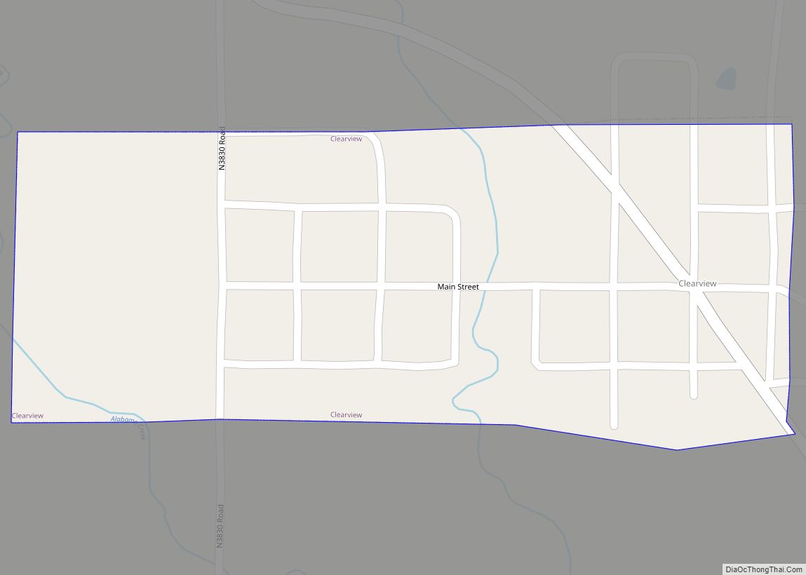
Online Interactive Map
Click on ![]() to view map in "full screen" mode.
to view map in "full screen" mode.
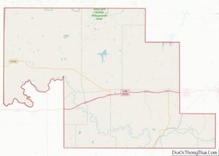
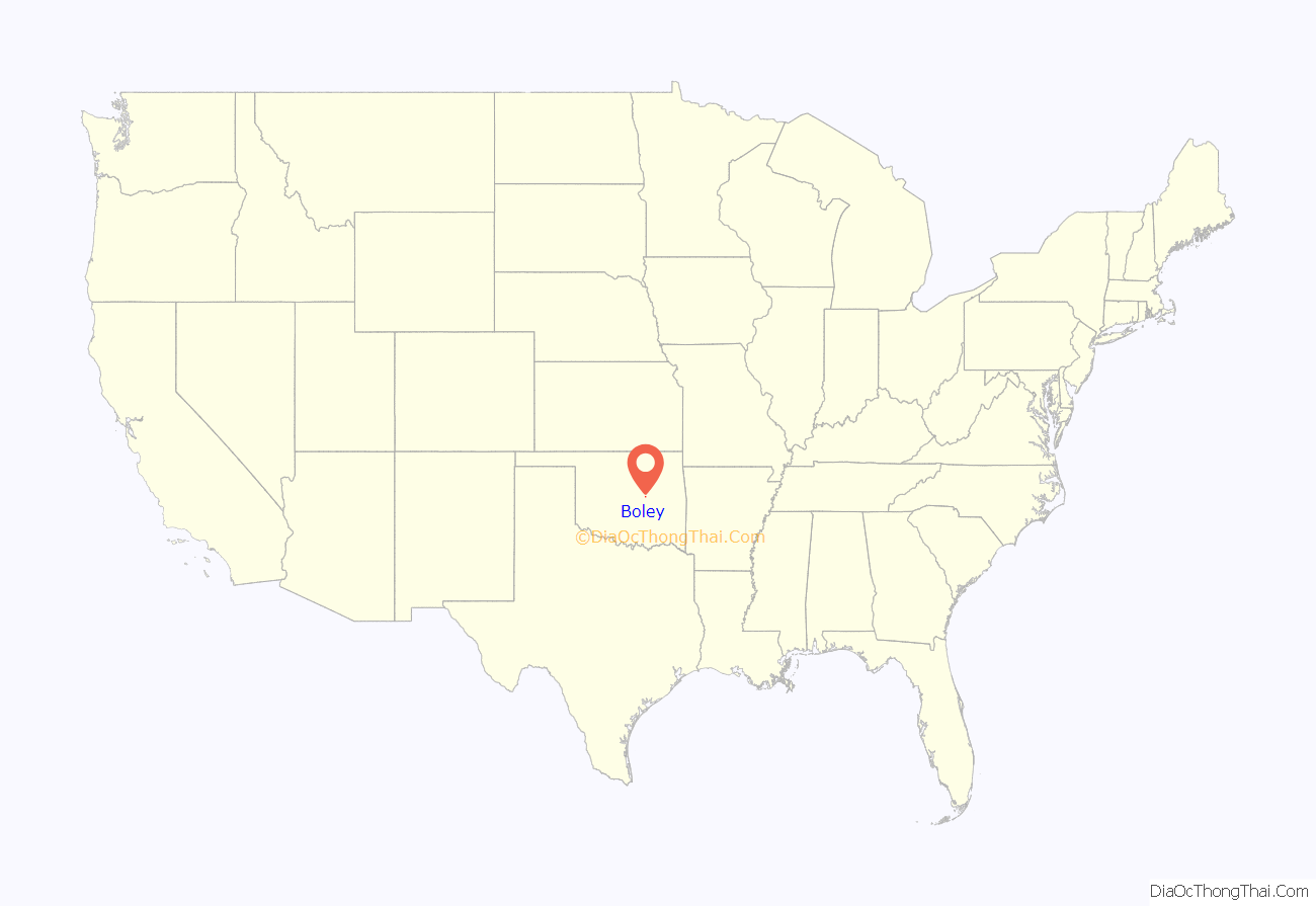
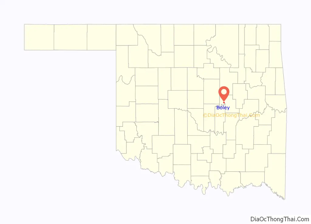
Boley location map. Where is Boley town?
History
This area was settled by Creek Freedmen, whose ancestors had been held as slaves of the Creek at the time of Indian Removal in the 1830s. After the American Civil War, the United States negotiated new treaties with tribes that allied with the Confederacy. It required them to emancipate their slaves and give them membership in the tribes. Those formerly slaves were called the Creek Freedmen. At the time of allotments to individual households under the Dawes Commission, Creek Freedmen were registered as such on the Dawes Rolls (even if they were of mixed-race and also descended directly from Creek ancestors.) Creek Freedmen set up independent townships, of which Boley was one. The town was established on the land allotted to Abigail Barnett-McCormick, daughter of James Barnett, a Creek freedman.
The coming of the Fort Smith & Western Railroad allowed agricultural land to be more profitably used as a townsite. Property owned by the Barnett family, among other Creek Freedmen, was midway between Paden and Castle, and ideal for a station stop. With the approval of the railroad management, Boley, Creek Nation, Indian Territory was incorporated in 1905. It was named for J. B. Boley, an official of the railroad. There were no other Black towns nearby, it became a center of regional business. During the early part of the 20th century, Boley was one of the wealthiest Black towns in the US. It boasted two banks, including the first nationally chartered bank owned by blacks, three cotton gins, and its own electric company. The town had over 4,000 residents by 1911, and was the home of two colleges: Creek-Seminole College, and Methodist Episcopal College. The Masonic Lodge was called “the tallest building between Okmulgee and Oklahoma City,” when it was built in 1912. Booker T. Washington visited Boley in 1905, and was so impressed that he included Boley in his speeches.
Boley’s development paralleled that of the railroad. After World War I, a fall in agricultural prices and the bankruptcy of the railroad caused Boley’s failure. It went bankrupt in 1939 during the Great Depression. Before World War II, Boley’s population had declined to about 700. With the Second Great Migration underway, by 1960 most of the population had left for other urban areas. So far the New Great Migration has not benefited Boley. However, Boley remains one of the state’s few remaining historic African-American towns.
Timeline
1897, by this time Oklahoma law required black children to be educated separately from white children
- 1903 Founding
- 1905 Booker T. Washington tours the newly incorporated Boley. Newspaper The Boley Progress starts publication.
- 1907 Oklahoma becomes a state. With statehood the legislature passed Jim Crow laws similar to those in much of the South. Oklahoma was no longer a refuge for African-Americans from Jim Crow.
- 1905 August 14. Killing in line of duty Boley City Marshal W.R. Shaver
- 1911 Facts about Boley, Okla. the largest and wealthiest exclusive Negro city in the world. (Boley, OK: Commercial Club, 1911
- 1922 “Produced in the All-Colored City of Boley, Okla.” The Crimson Skull; Baffling Western Mystery Photo-Play, starring Bill Pickett, was an example of the race movie genre.
- 1925, State Training School for Incorrigible Black Boys was located in Boley; it would become the John Lilley Correctional Center.
- 1926 The Boley Progress ceases publication.
- 1932 Armed citizens of Boley thwart a bank robbery attempt by members of Pretty Boy Floyd’s gang.
- 1934 30th Anniversary Celebration
- 1939 Fort Smith & Western Railroad and Boley go bankrupt.
- 1959 Smokaroma founded.
- 1961 First of the Annual Boley Rodeo & Bar-B-Que Festivals.
- 1970 Oklahoma : OSSAA Boys Basketball State Champions (Class A Boys)
- 1974 Oklahoma : OSSAA Boys Basketball State Champions (Class A Boys)
- 1975 Oklahoma : OSSAA Boys Basketball State Champions (Class B Boys)
- 1975 Boley Historic District given landmark status.
- 1976 Oklahoma : OSSAA Boys Basketball State Champions (Class A Boys)
- 2007 Boley High School closes
- 2010 Boley Elementary closes
- 2016 Adopted a code of ordinances
Inscription on Oklahoma Historical Society plaque honoring Boley
Boley, Oklahoma Est. August 1903 – Inc. May 1905 Boley, Creek Nation, I.T., Established as all black town on land of Creek Indian Freedwoman Abigail Barnett. Organized by T.M. Haynes first townsite manager. Named for J.B. Boley, white roadmaster, who convinced Fort Smith & Western Railroad that blacks could govern themselves. This concept soon boosted population to 4,200. Declared National Historic Landmark District by Congress 5-15-1975. Oklahoma Historical Society
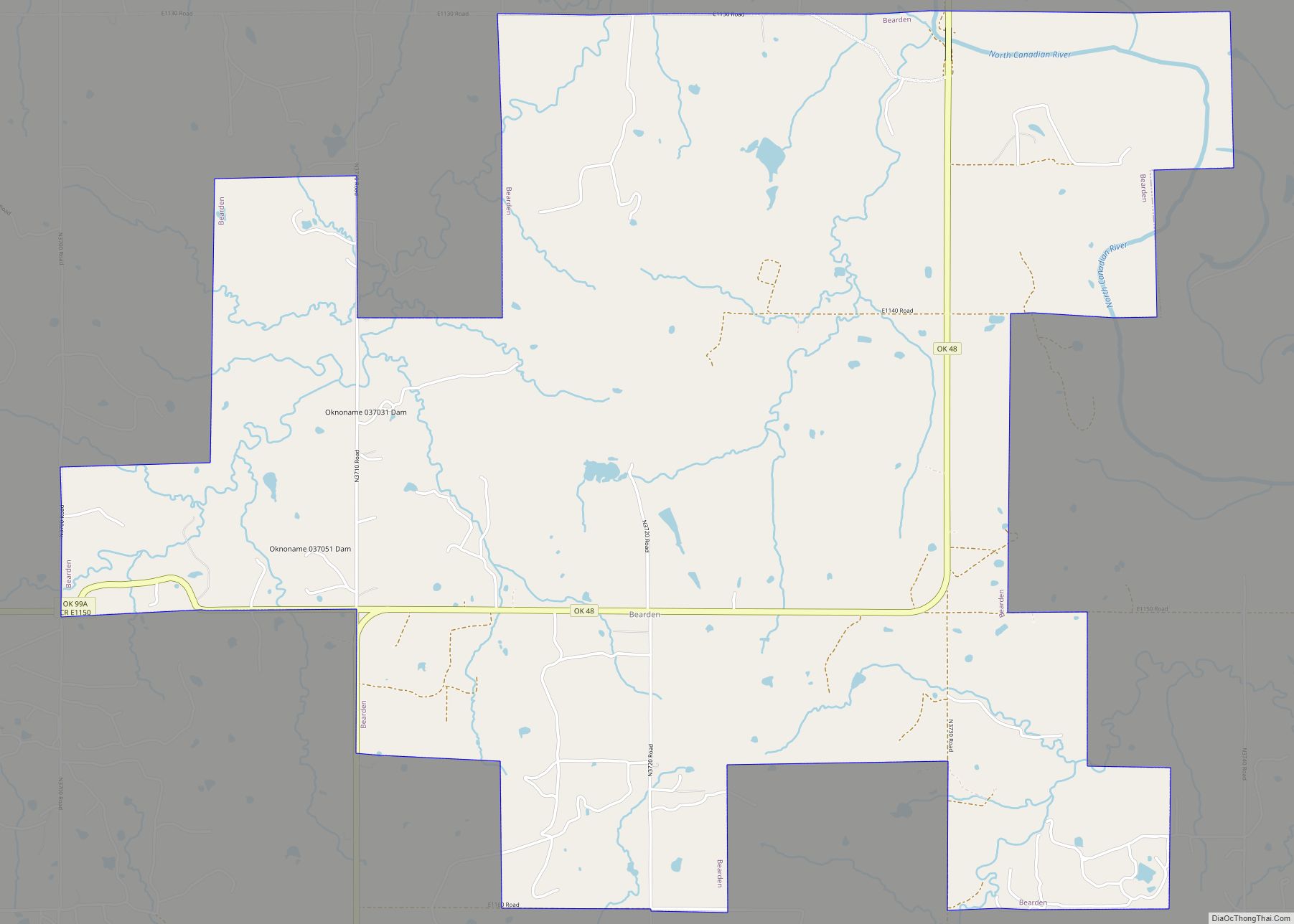
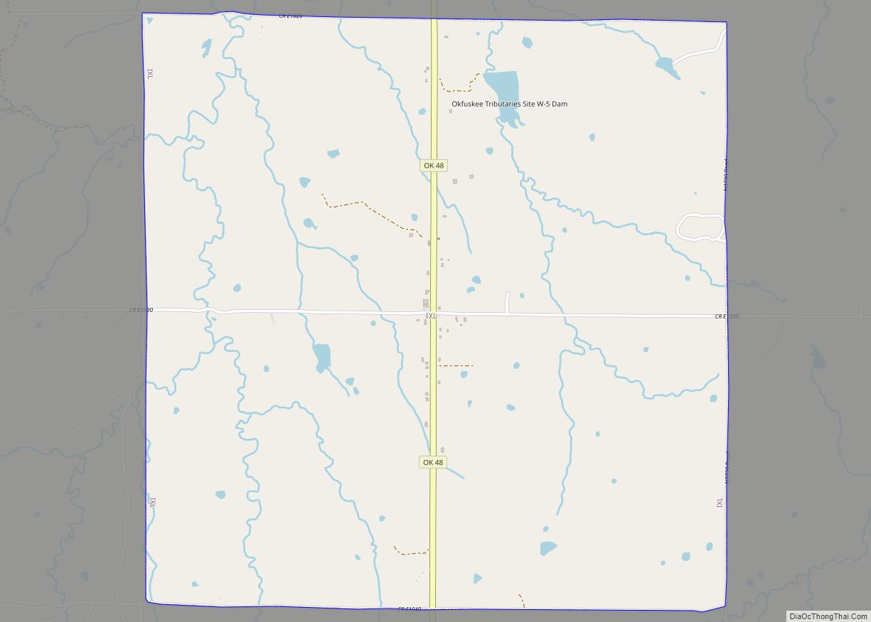
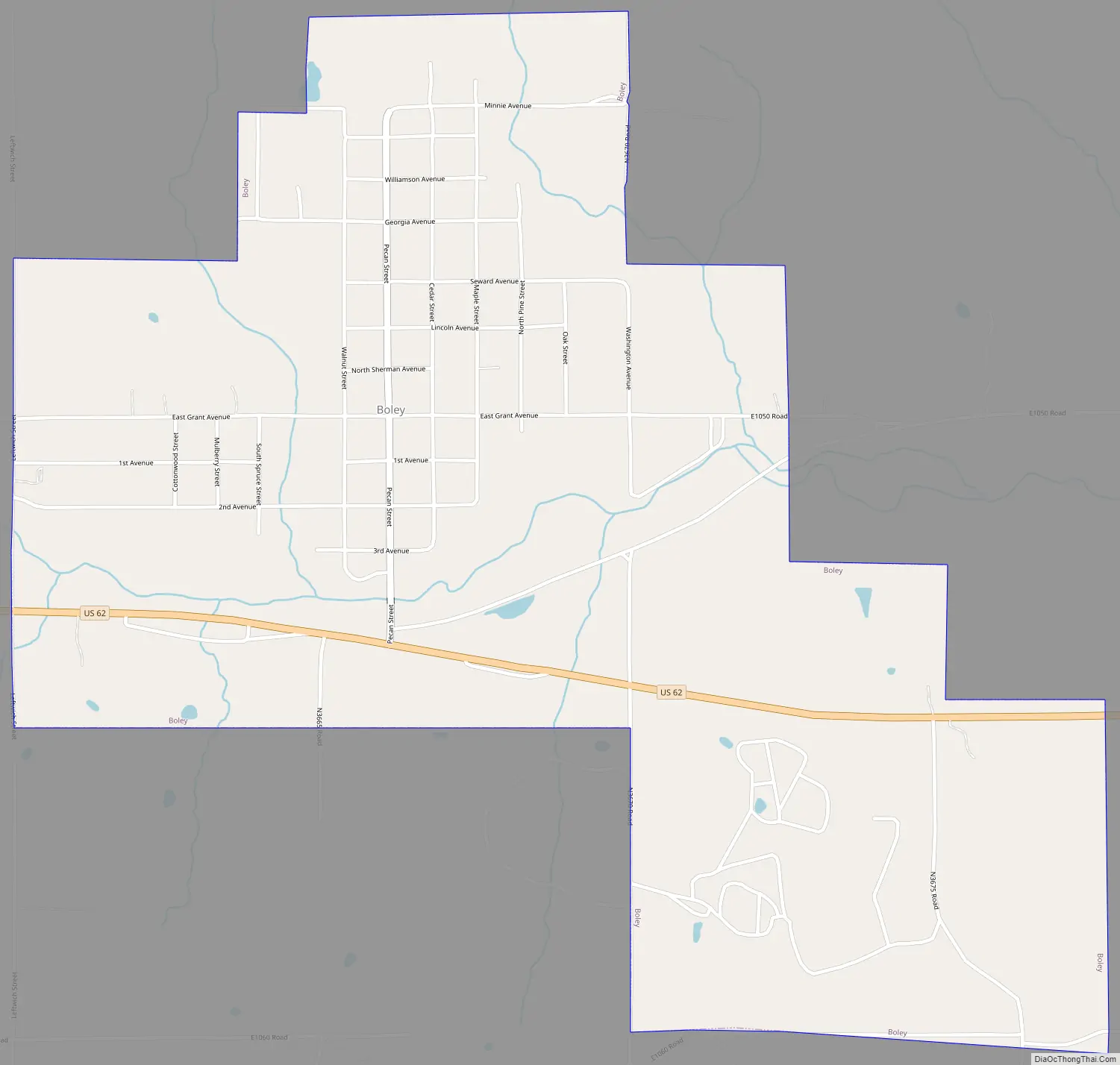
Boley Road Map
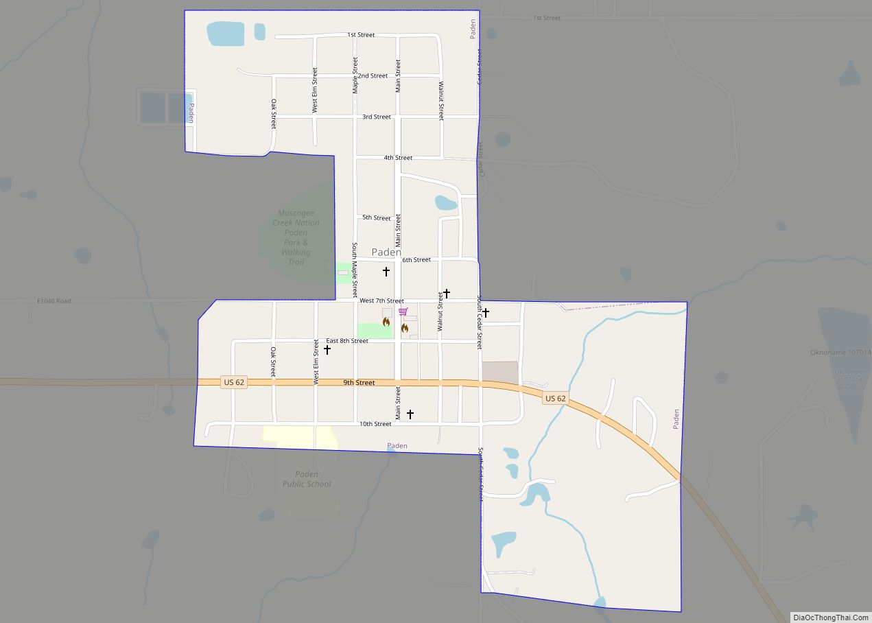
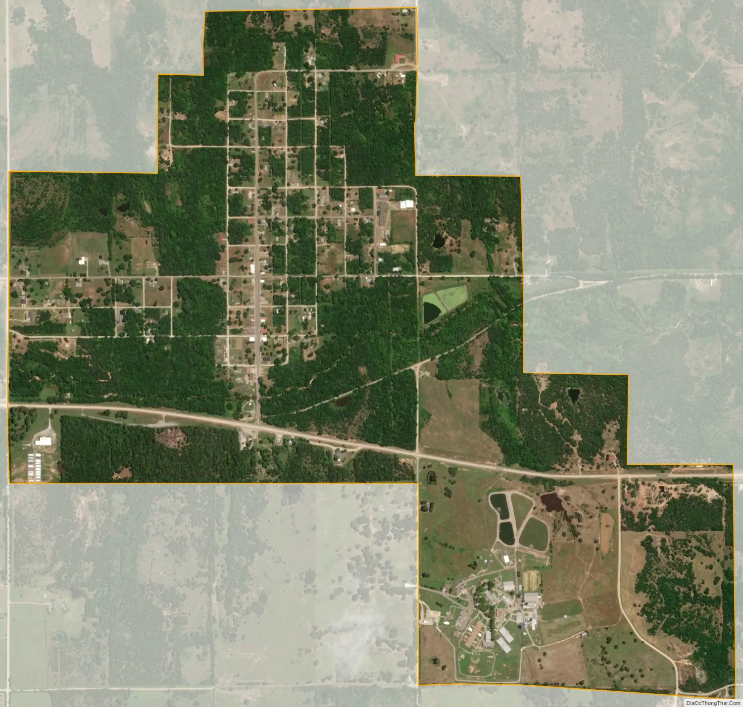
Boley city Satellite Map
Geography
Boley is located approximately 13 miles east of Prague and 11 miles west of Okemah on US Highway 62. Boley is located at 35°29′34″N 96°28′54″W / 35.49278°N 96.48167°W / 35.49278; -96.48167 (35.492813, -96.481776). The cemetery is located southwest of the town.
According to the United States Census Bureau, the town has a total area of 1.6 square miles (4.1 km), all land.
See also
Map of Oklahoma State and its subdivision:- Adair
- Alfalfa
- Atoka
- Beaver
- Beckham
- Blaine
- Bryan
- Caddo
- Canadian
- Carter
- Cherokee
- Choctaw
- Cimarron
- Cleveland
- Coal
- Comanche
- Cotton
- Craig
- Creek
- Custer
- Delaware
- Dewey
- Ellis
- Garfield
- Garvin
- Grady
- Grant
- Greer
- Harmon
- Harper
- Haskell
- Hughes
- Jackson
- Jefferson
- Johnston
- Kay
- Kingfisher
- Kiowa
- Latimer
- Le Flore
- Lincoln
- Logan
- Love
- Major
- Marshall
- Mayes
- McClain
- McCurtain
- McIntosh
- Murray
- Muskogee
- Noble
- Nowata
- Okfuskee
- Oklahoma
- Okmulgee
- Osage
- Ottawa
- Pawnee
- Payne
- Pittsburg
- Pontotoc
- Pottawatomie
- Pushmataha
- Roger Mills
- Rogers
- Seminole
- Sequoyah
- Stephens
- Texas
- Tillman
- Tulsa
- Wagoner
- Washington
- Washita
- Woods
- Woodward
- Alabama
- Alaska
- Arizona
- Arkansas
- California
- Colorado
- Connecticut
- Delaware
- District of Columbia
- Florida
- Georgia
- Hawaii
- Idaho
- Illinois
- Indiana
- Iowa
- Kansas
- Kentucky
- Louisiana
- Maine
- Maryland
- Massachusetts
- Michigan
- Minnesota
- Mississippi
- Missouri
- Montana
- Nebraska
- Nevada
- New Hampshire
- New Jersey
- New Mexico
- New York
- North Carolina
- North Dakota
- Ohio
- Oklahoma
- Oregon
- Pennsylvania
- Rhode Island
- South Carolina
- South Dakota
- Tennessee
- Texas
- Utah
- Vermont
- Virginia
- Washington
- West Virginia
- Wisconsin
- Wyoming