Bushyhead is a census-designated place (CDP) in Rogers County, Oklahoma, United States. The population was 1,314 at the 2010 census, a 9.2 percent increase over the figure of 1,203 recorded in 2000. Established on the St. Louis-San Francisco Railway between Claremore and Vinita, the community was named for Dennis W. Bushyhead, Principal Chief of the Cherokee, 1879–1887. The post office existed from April 18, 1898, until November 15, 1955.
| Name: | Bushyhead CDP |
|---|---|
| LSAD Code: | 57 |
| LSAD Description: | CDP (suffix) |
| State: | Oklahoma |
| County: | Rogers County |
| Elevation: | 764 ft (233 m) |
| Total Area: | 14.94 sq mi (38.68 km²) |
| Land Area: | 14.91 sq mi (38.62 km²) |
| Water Area: | 0.02 sq mi (0.06 km²) |
| Total Population: | 1,292 |
| Population Density: | 86.64/sq mi (33.45/km²) |
| ZIP code: | 74016 |
| Area code: | 539/918 |
| FIPS code: | 4010400 |
| GNISfeature ID: | 1100252 |
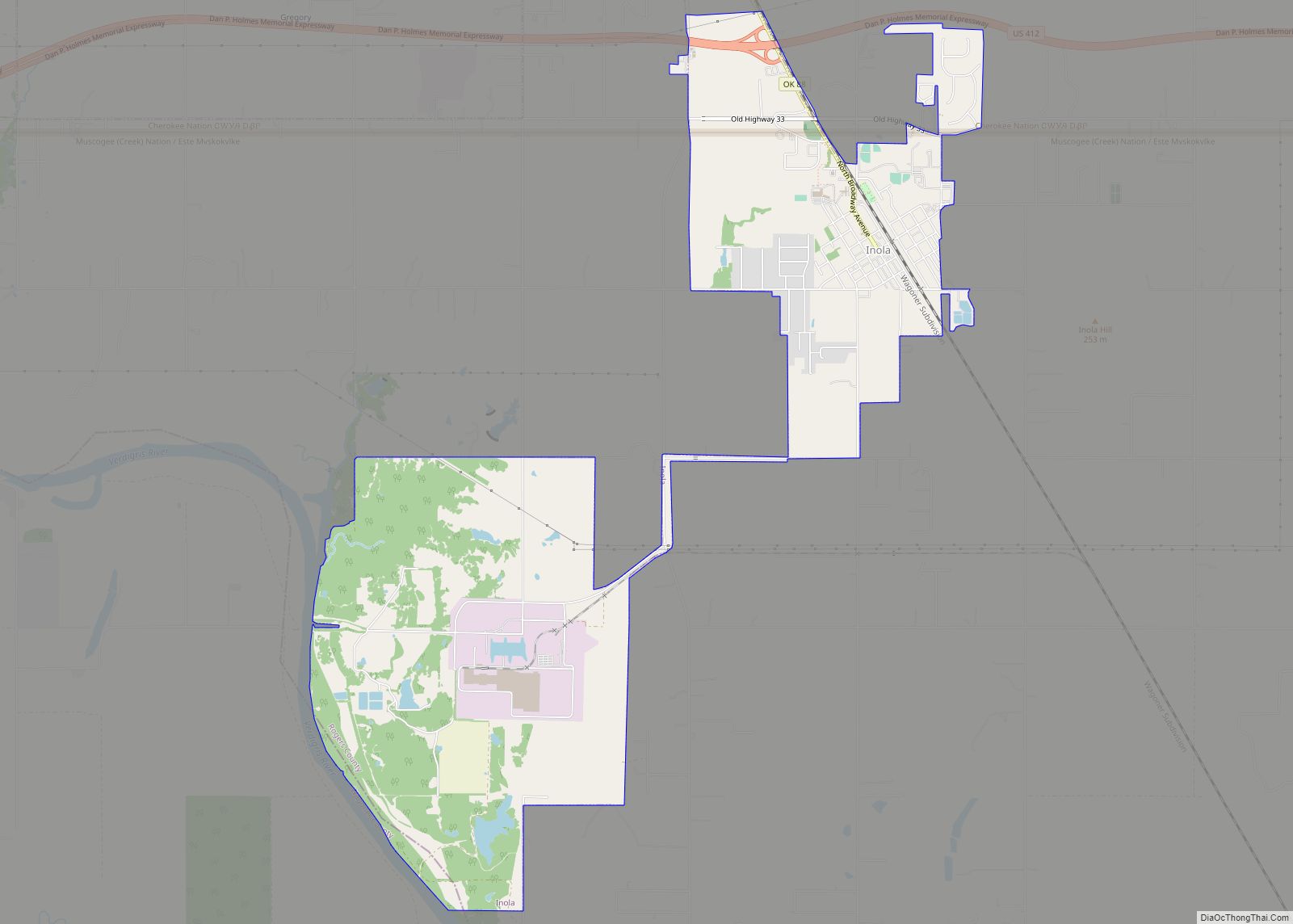
Online Interactive Map
Click on ![]() to view map in "full screen" mode.
to view map in "full screen" mode.
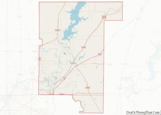
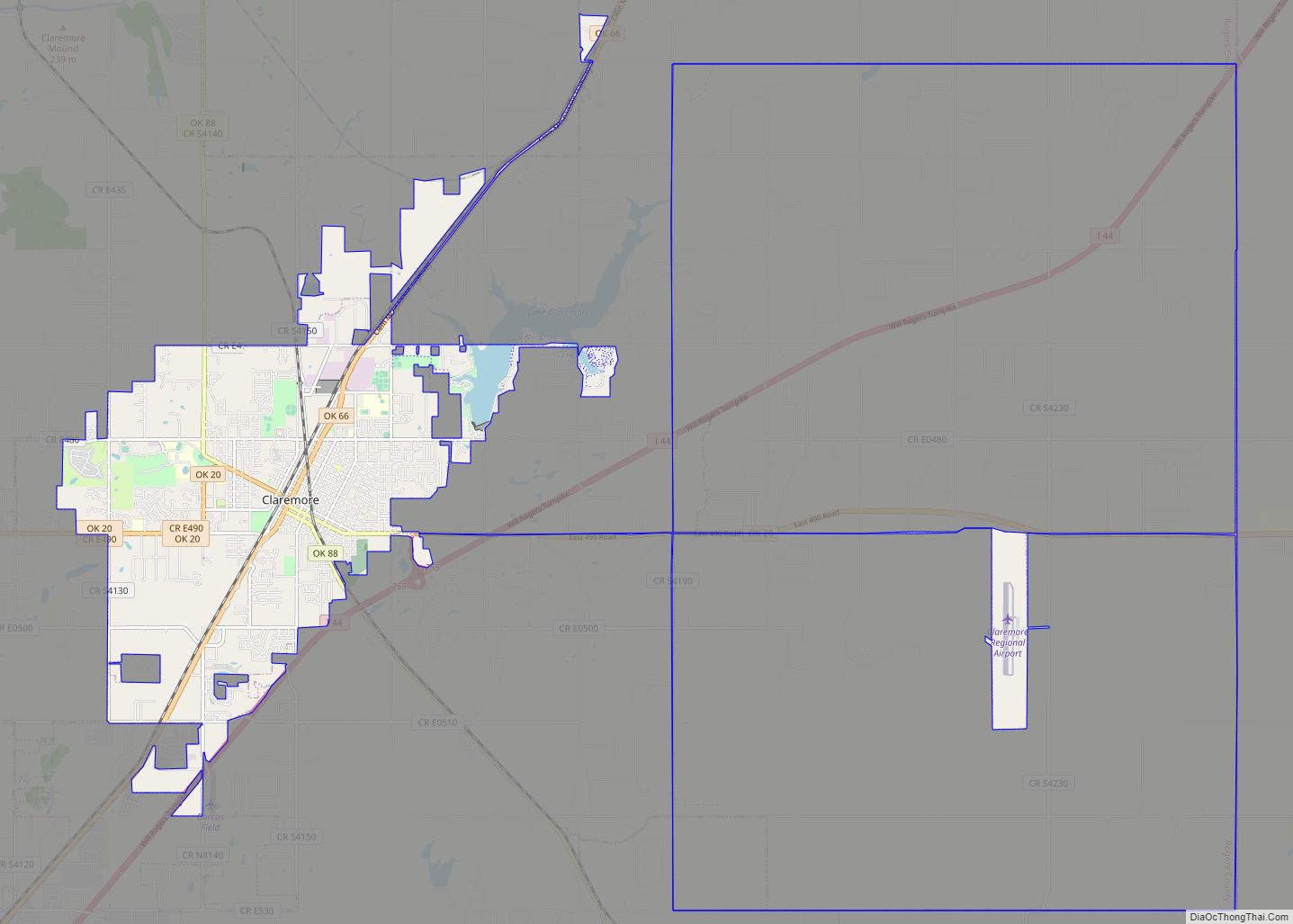
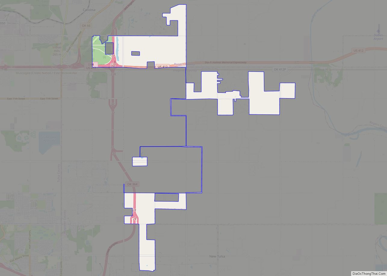
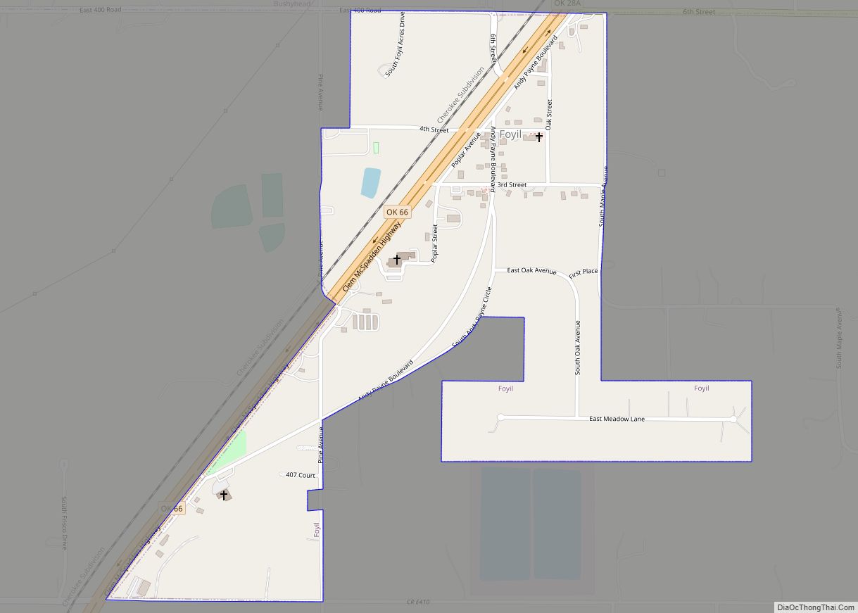
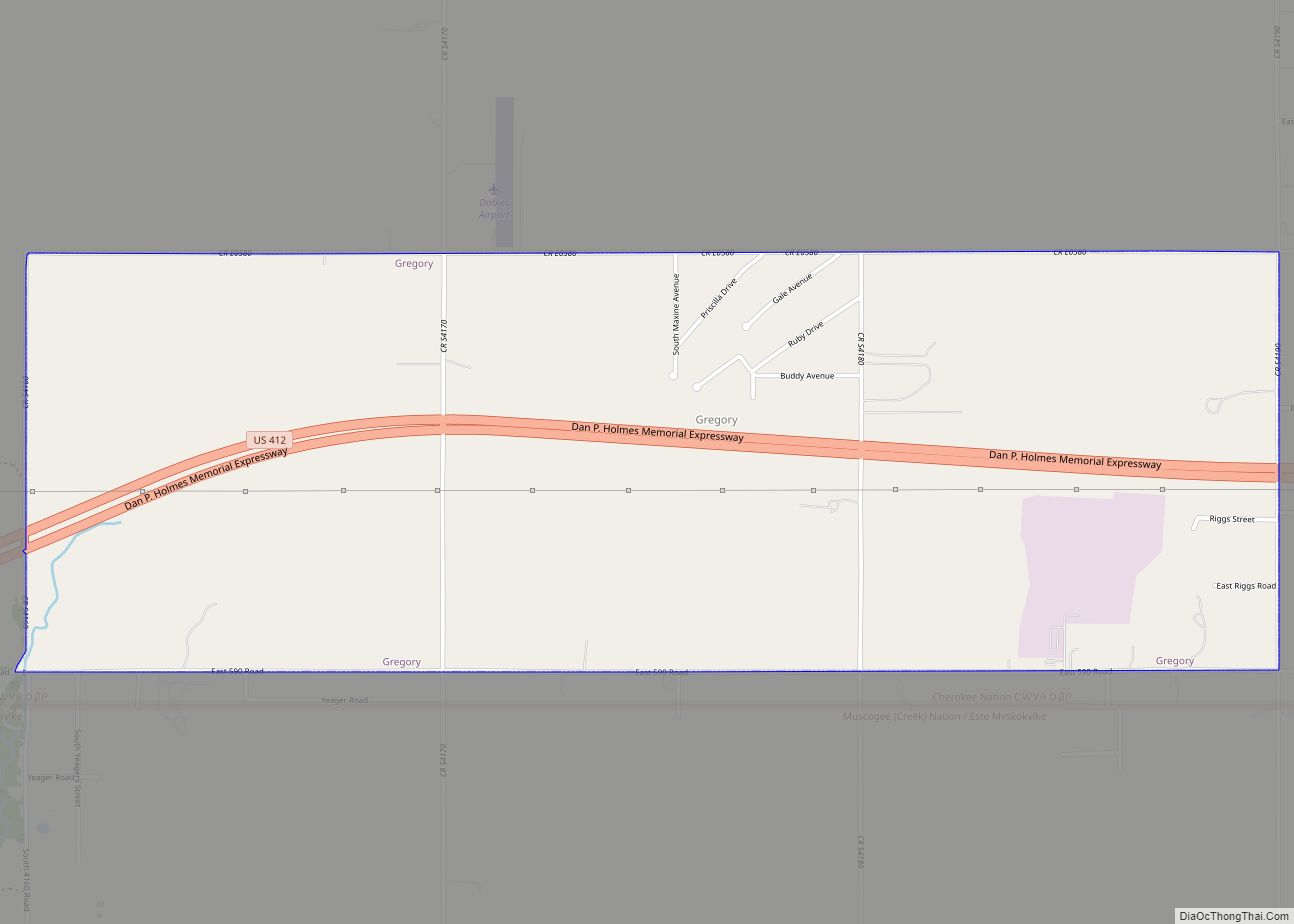
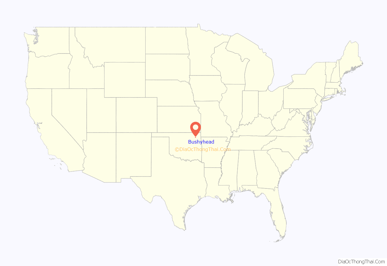
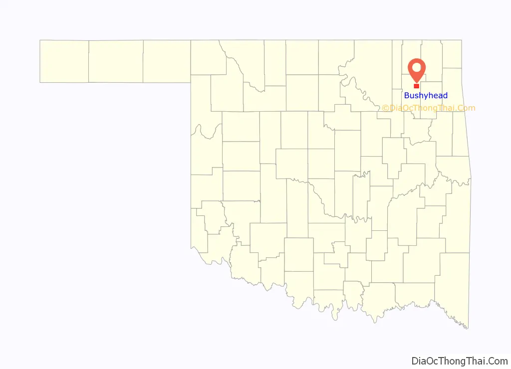
Bushyhead location map. Where is Bushyhead CDP?
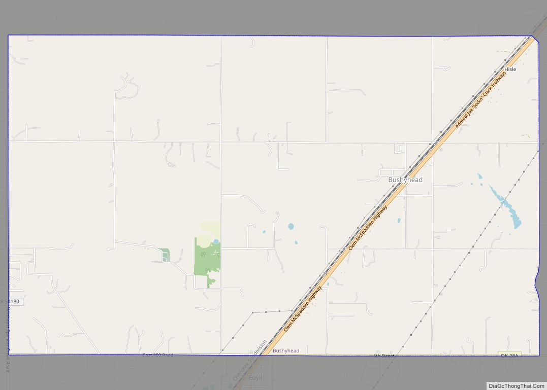
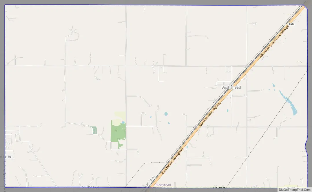
Bushyhead Road Map
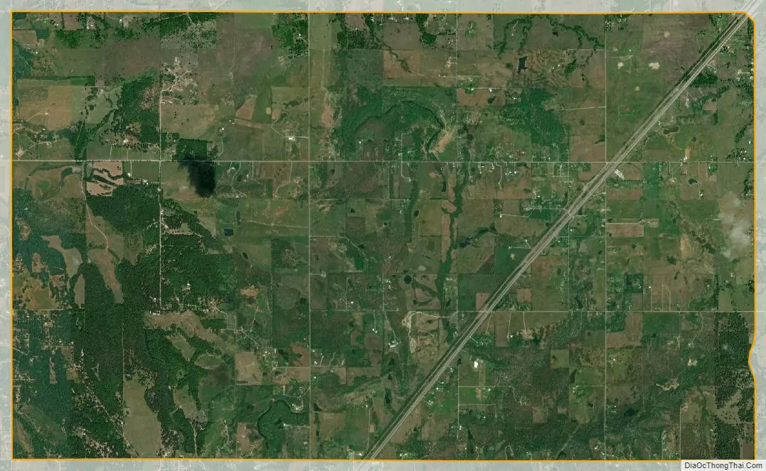
Bushyhead city Satellite Map
Geography
Bushyhead is located at 36°27′8″N 95°30′59″W / 36.45222°N 95.51639°W / 36.45222; -95.51639 (36.452233, -95.516263). According to the United States Census Bureau, the CDP has a total area of 15.0 square miles (39 km), of which 15.0 square miles (39 km) is land and 0.04 square miles (0.10 km) (0.20%) is water.
See also
Map of Oklahoma State and its subdivision:- Adair
- Alfalfa
- Atoka
- Beaver
- Beckham
- Blaine
- Bryan
- Caddo
- Canadian
- Carter
- Cherokee
- Choctaw
- Cimarron
- Cleveland
- Coal
- Comanche
- Cotton
- Craig
- Creek
- Custer
- Delaware
- Dewey
- Ellis
- Garfield
- Garvin
- Grady
- Grant
- Greer
- Harmon
- Harper
- Haskell
- Hughes
- Jackson
- Jefferson
- Johnston
- Kay
- Kingfisher
- Kiowa
- Latimer
- Le Flore
- Lincoln
- Logan
- Love
- Major
- Marshall
- Mayes
- McClain
- McCurtain
- McIntosh
- Murray
- Muskogee
- Noble
- Nowata
- Okfuskee
- Oklahoma
- Okmulgee
- Osage
- Ottawa
- Pawnee
- Payne
- Pittsburg
- Pontotoc
- Pottawatomie
- Pushmataha
- Roger Mills
- Rogers
- Seminole
- Sequoyah
- Stephens
- Texas
- Tillman
- Tulsa
- Wagoner
- Washington
- Washita
- Woods
- Woodward
- Alabama
- Alaska
- Arizona
- Arkansas
- California
- Colorado
- Connecticut
- Delaware
- District of Columbia
- Florida
- Georgia
- Hawaii
- Idaho
- Illinois
- Indiana
- Iowa
- Kansas
- Kentucky
- Louisiana
- Maine
- Maryland
- Massachusetts
- Michigan
- Minnesota
- Mississippi
- Missouri
- Montana
- Nebraska
- Nevada
- New Hampshire
- New Jersey
- New Mexico
- New York
- North Carolina
- North Dakota
- Ohio
- Oklahoma
- Oregon
- Pennsylvania
- Rhode Island
- South Carolina
- South Dakota
- Tennessee
- Texas
- Utah
- Vermont
- Virginia
- Washington
- West Virginia
- Wisconsin
- Wyoming