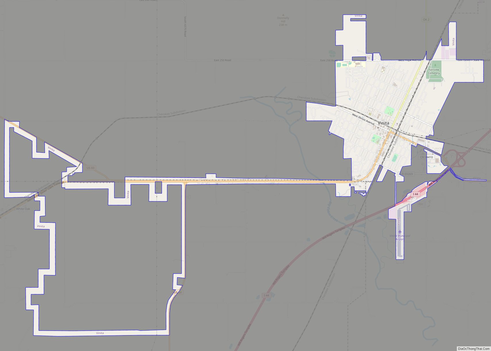
Vinita is a city and county seat of Craig County, Oklahoma, United States. As of the 2010 census, the population was 5,743, a decline of 11.22 percent from the figure of 6,469 recorded in 2000.
| Name: | Vinita city |
|---|---|
| LSAD Code: | 25 |
| LSAD Description: | city (suffix) |
| State: | Oklahoma |
| County: | Craig County |
| Founded: | 1870 |
| Incorporated: | 1898 |
| Elevation: | 699 ft (213 m) |
| Total Area: | 5.79 sq mi (15.00 km²) |
| Land Area: | 5.79 sq mi (15.00 km²) |
| Water Area: | 0.00 sq mi (0.00 km²) |
| Total Population: | 5,193 |
| Population Density: | 896.89/sq mi (346.27/km²) |
| ZIP code: | 74301 |
| Area code: | 539/918 |
| FIPS code: | 4077550 |
| Website: | cityofvinita.com |
Online Interactive Map
Click on ![]() to view map in "full screen" mode.
to view map in "full screen" mode.
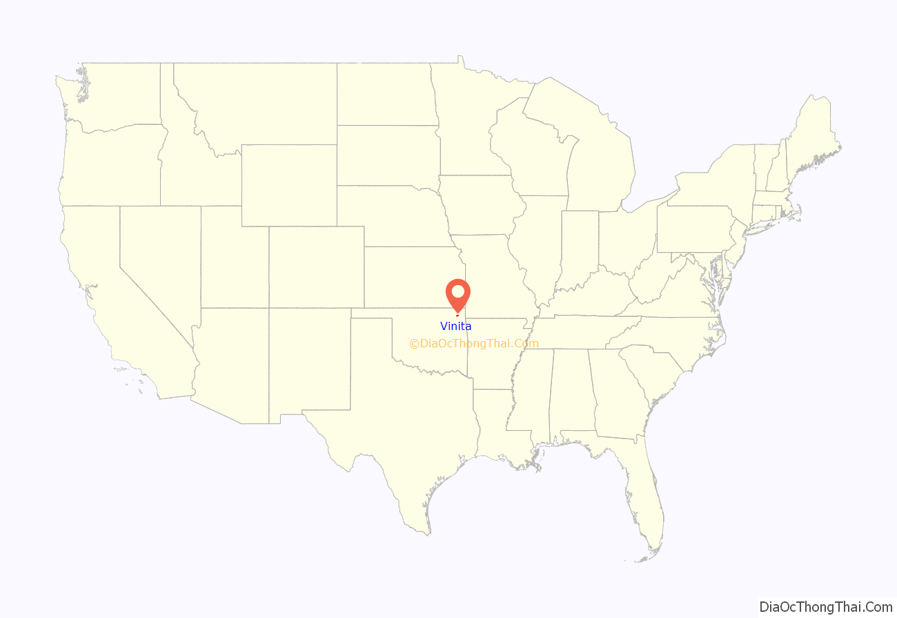
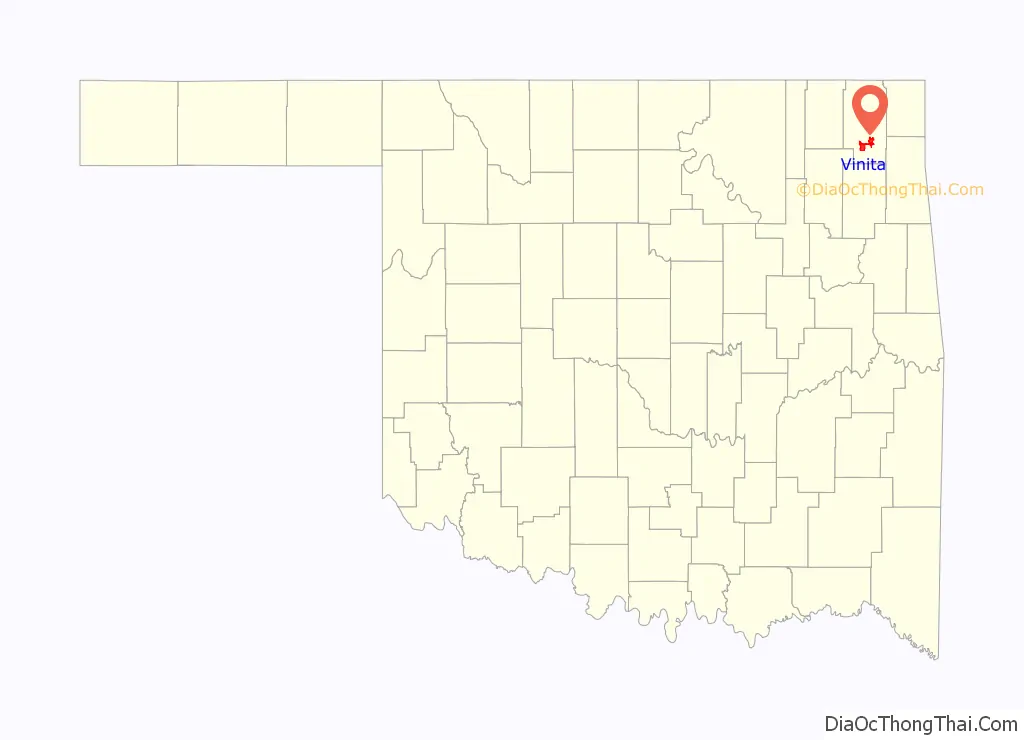
Vinita location map. Where is Vinita city?
History
Vinita was founded in 1870 by Elias Cornelius Boudinot. In 1889, gunman and lawman Tom Threepersons was born there. It was the first city in the state with electricity. The city was first named “Downingville”, and was a primarily Native American community. It was later renamed “Vinita” after Boudinot’s friend, sculptor Vinnie Ream. The city was incorporated in Indian Territory in 1898.
Vinita is along the path of the Texas Road cattle trail, and the later Jefferson Highway of the early National Trail System, both roughly along the route of U.S. Route 69 through Oklahoma today.
The First National Bank opened in 1892, and the local Masonic Lodge was founded in 1894. Newspapers founded before the turn of the 20th Century included Vinita Indian Chieftain (1882), Vinita Leader (1885) and the Daily Indian Chieftain (1899). The Vinita Daily Journal began publication in 1907 and has continued into the 21st Century.
Eastern State Hospital, a state mental health facility, was constructed in 1912 and admitted the first patients in January 1913. It was one of the county’s largest employers until its operations were reduced during the 1990s.
A McDonald’s bridge-restaurant built over the top of Interstate 44, called the “Will Rogers Archway”, is the world’s largest McDonald’s restaurant in terms of area, occupying 29,135 square feet (2,706.7 m). Built in 1957, it is also the world’s first bridge restaurant.
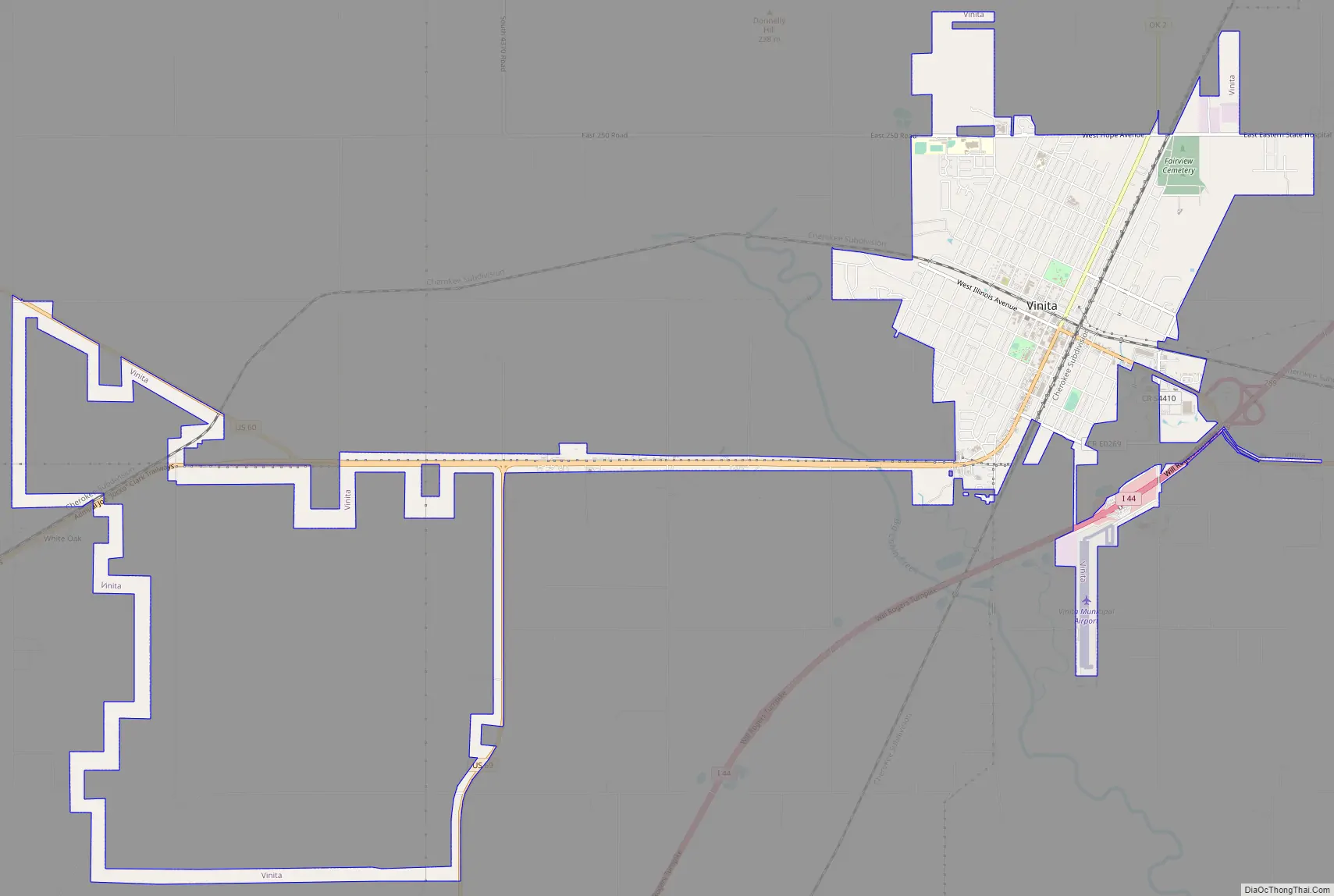
Vinita Road Map
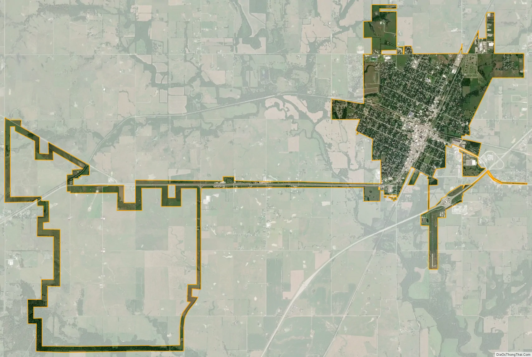
Vinita city Satellite Map
Geography
Vinita is located in northeastern Oklahoma, a region of the state known as Green Country. According to the Vinita Chamber of Commerce, the town is often called the “Crossroads to Green Country.” It sits at the base of the Ozark Highlands topographical region in a mix of prairie and forest. It is located in southern Craig County at 36°38′28″N 95°9′24″W / 36.64111°N 95.15667°W / 36.64111; -95.15667 (36.641193, −95.156676). According to the United States Census Bureau, the city has a total area of 6.0 square miles (15.5 km), all land. Vinita is in a valley.
Vinita is 64 miles (103 km) northeast of Tulsa and 51 miles (82 km) southwest of Joplin, Missouri, both via Interstate 44.
See also
Map of Oklahoma State and its subdivision:- Adair
- Alfalfa
- Atoka
- Beaver
- Beckham
- Blaine
- Bryan
- Caddo
- Canadian
- Carter
- Cherokee
- Choctaw
- Cimarron
- Cleveland
- Coal
- Comanche
- Cotton
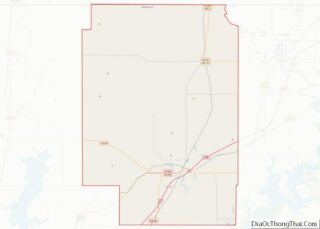
- Craig
- Creek
- Custer
- Delaware
- Dewey
- Ellis
- Garfield
- Garvin
- Grady
- Grant
- Greer
- Harmon
- Harper
- Haskell
- Hughes
- Jackson
- Jefferson
- Johnston
- Kay
- Kingfisher
- Kiowa
- Latimer
- Le Flore
- Lincoln
- Logan
- Love
- Major
- Marshall
- Mayes
- McClain
- McCurtain
- McIntosh
- Murray
- Muskogee
- Noble
- Nowata
- Okfuskee
- Oklahoma
- Okmulgee
- Osage
- Ottawa
- Pawnee
- Payne
- Pittsburg
- Pontotoc
- Pottawatomie
- Pushmataha
- Roger Mills
- Rogers
- Seminole
- Sequoyah
- Stephens
- Texas
- Tillman
- Tulsa
- Wagoner
- Washington
- Washita
- Woods
- Woodward
- Alabama
- Alaska
- Arizona
- Arkansas
- California
- Colorado
- Connecticut
- Delaware
- District of Columbia
- Florida
- Georgia
- Hawaii
- Idaho
- Illinois
- Indiana
- Iowa
- Kansas
- Kentucky
- Louisiana
- Maine
- Maryland
- Massachusetts
- Michigan
- Minnesota
- Mississippi
- Missouri
- Montana
- Nebraska
- Nevada
- New Hampshire
- New Jersey
- New Mexico
- New York
- North Carolina
- North Dakota
- Ohio
- Oklahoma
- Oregon
- Pennsylvania
- Rhode Island
- South Carolina
- South Dakota
- Tennessee
- Texas
- Utah
- Vermont
- Virginia
- Washington
- West Virginia
- Wisconsin
- Wyoming