Carrier is a town in Garfield County, Oklahoma, United States. The population was 85 at the 2010 census.
| Name: | Carrier town |
|---|---|
| LSAD Code: | 43 |
| LSAD Description: | town (suffix) |
| State: | Oklahoma |
| County: | Garfield County |
| Elevation: | 1,352 ft (412 m) |
| Total Area: | 1.23 sq mi (3.18 km²) |
| Land Area: | 1.23 sq mi (3.18 km²) |
| Water Area: | 0.00 sq mi (0.00 km²) |
| Total Population: | 90 |
| Population Density: | 73.29/sq mi (28.31/km²) |
| ZIP code: | 73727 |
| Area code: | 580 |
| FIPS code: | 4012200 |
| GNISfeature ID: | 1090994 |
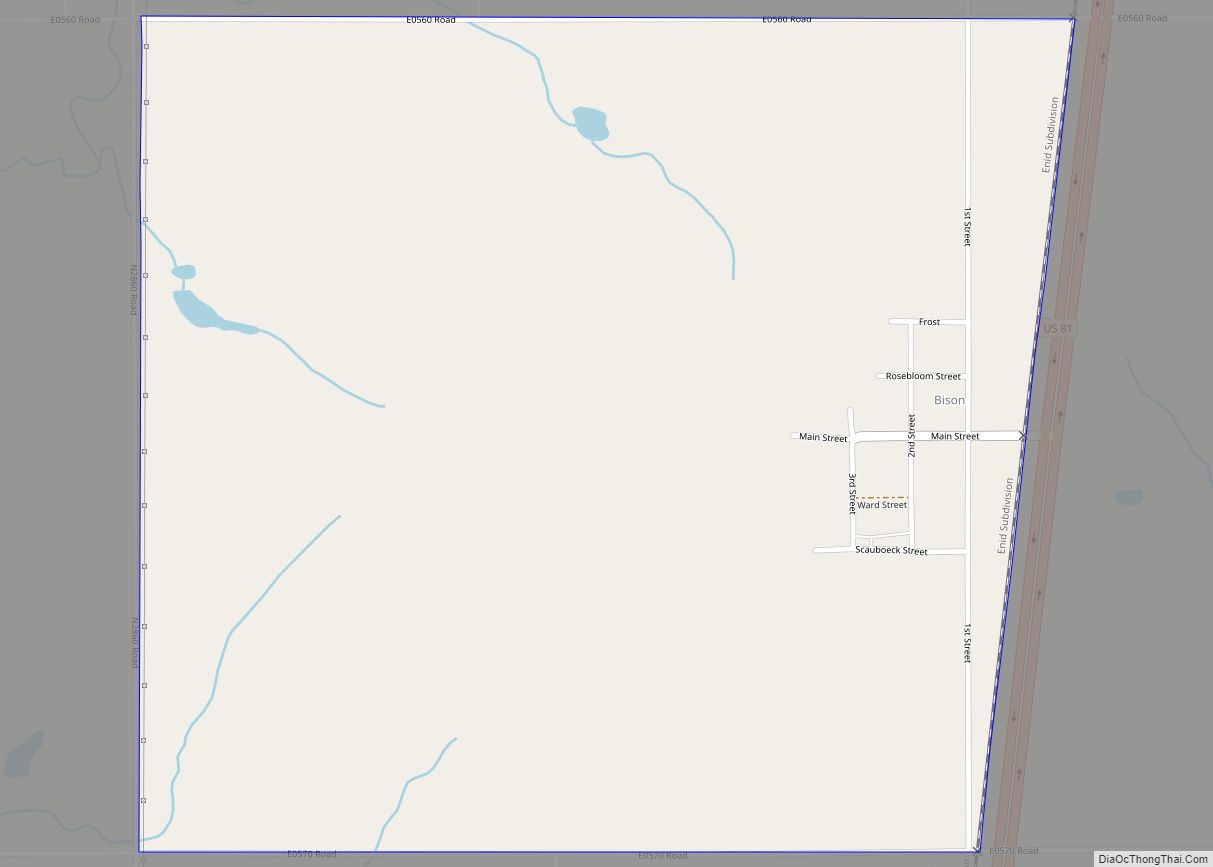
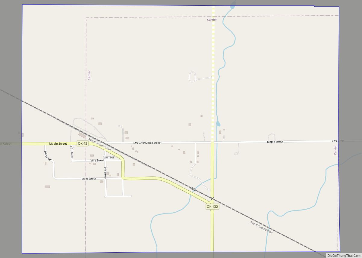
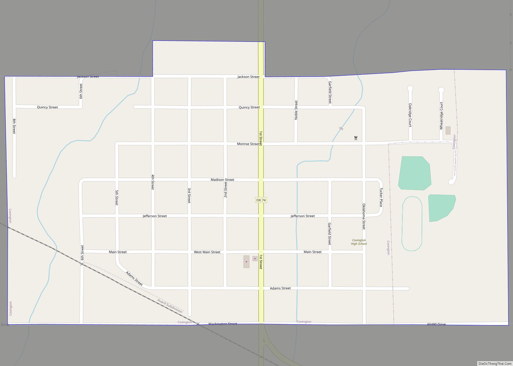
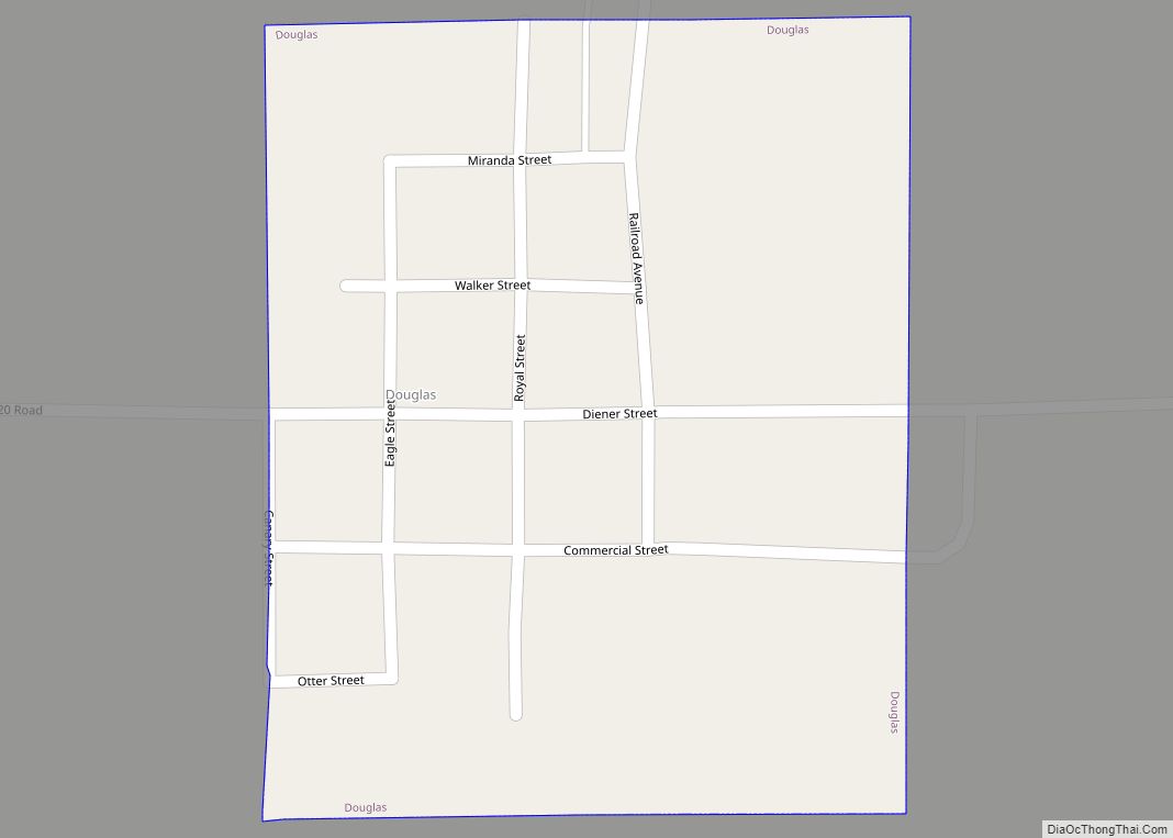
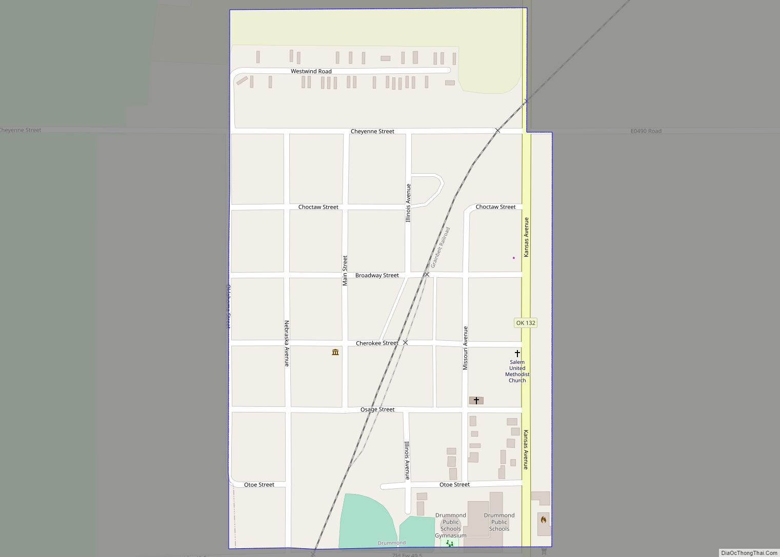
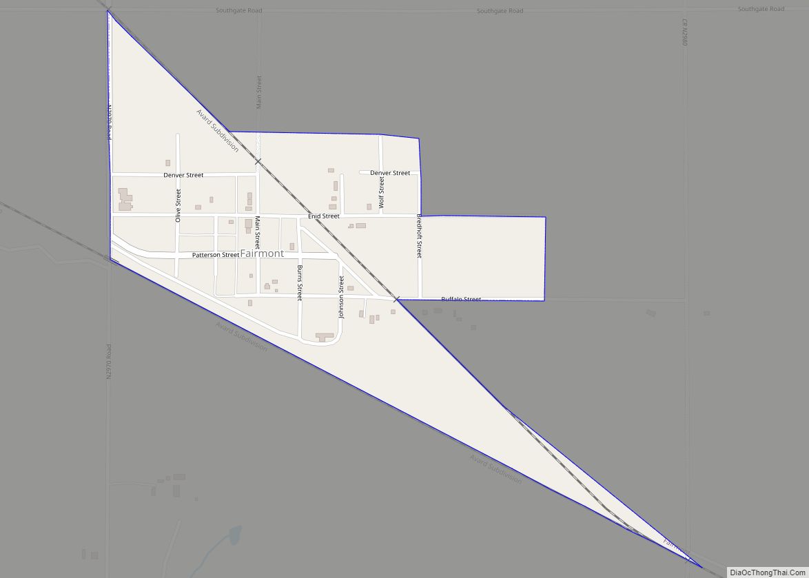
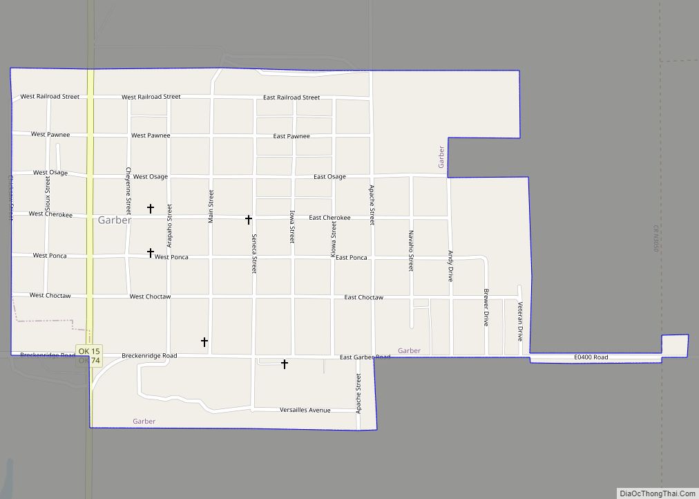
Online Interactive Map
Click on ![]() to view map in "full screen" mode.
to view map in "full screen" mode.
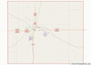
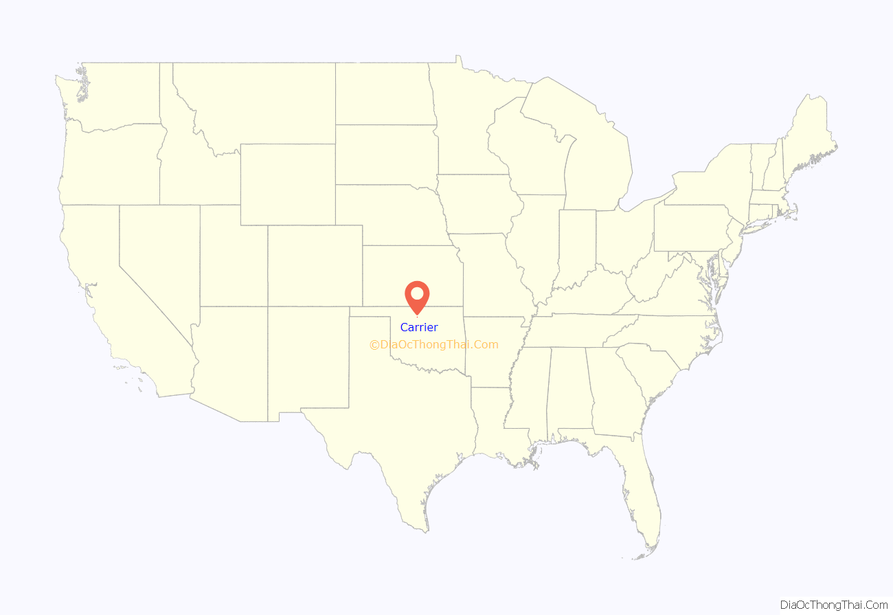
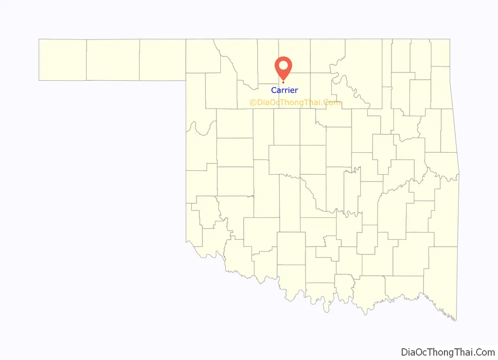
Carrier location map. Where is Carrier town?
History
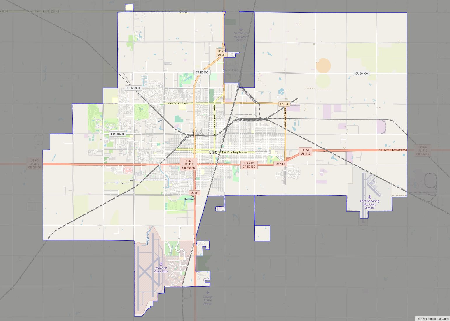
The area around Carrier was first settled by farmers who moved there following the opening of the Cherokee Outlet in 1893. The origin of the name “Carrier” comes from the first postmaster, Solomon S. Carrier. Buildings were constructed to serve area farmers, including businesses, a school, and a Congregational church. In 1903, the Northwestern Townsite Company as the Arkansas Valley and Western Railway, which was planning to build a railway through the area, laid out a town site around a mile from the existing site, and the businesses relocated to the new location. In 1904, the railway was finished. The town’s economy was primarily based on agriculture and the petroleum industry. The town was not incorporated until 1972. In the 21st century, many of the people who live in Carrier commute to work in Enid.
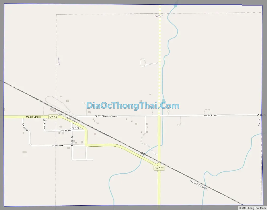
Carrier Road Map
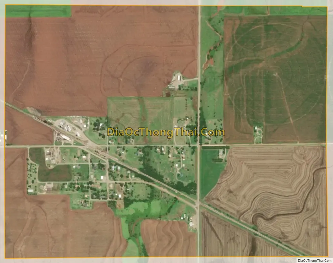
Carrier city Satellite Map
Geography
Carrier is located in northwestern Garfield County at 36°28′36″N 98°1′14″W / 36.47667°N 98.02056°W / 36.47667; -98.02056 (36.476654, -98.020572). Oklahoma State Highway 45 runs through the center of town, leading east 9 miles (14 km) to the outskirts of North Enid and west and north 11 miles (18 km) to Goltry. Oklahoma State Highway 132 passes through the eastern part of Carrier, leading north 15 miles (24 km) to Nash and south 6 miles (10 km) to U.S. Route 412 at a point 7.5 miles (12.1 km) west of downtown Enid.
According to the United States Census Bureau, Carrier has a total area of 1.2 square miles (3.2 km), all land.
See also
Map of Oklahoma State and its subdivision:- Adair
- Alfalfa
- Atoka
- Beaver
- Beckham
- Blaine
- Bryan
- Caddo
- Canadian
- Carter
- Cherokee
- Choctaw
- Cimarron
- Cleveland
- Coal
- Comanche
- Cotton
- Craig
- Creek
- Custer
- Delaware
- Dewey
- Ellis
- Garfield
- Garvin
- Grady
- Grant
- Greer
- Harmon
- Harper
- Haskell
- Hughes
- Jackson
- Jefferson
- Johnston
- Kay
- Kingfisher
- Kiowa
- Latimer
- Le Flore
- Lincoln
- Logan
- Love
- Major
- Marshall
- Mayes
- McClain
- McCurtain
- McIntosh
- Murray
- Muskogee
- Noble
- Nowata
- Okfuskee
- Oklahoma
- Okmulgee
- Osage
- Ottawa
- Pawnee
- Payne
- Pittsburg
- Pontotoc
- Pottawatomie
- Pushmataha
- Roger Mills
- Rogers
- Seminole
- Sequoyah
- Stephens
- Texas
- Tillman
- Tulsa
- Wagoner
- Washington
- Washita
- Woods
- Woodward
- Alabama
- Alaska
- Arizona
- Arkansas
- California
- Colorado
- Connecticut
- Delaware
- District of Columbia
- Florida
- Georgia
- Hawaii
- Idaho
- Illinois
- Indiana
- Iowa
- Kansas
- Kentucky
- Louisiana
- Maine
- Maryland
- Massachusetts
- Michigan
- Minnesota
- Mississippi
- Missouri
- Montana
- Nebraska
- Nevada
- New Hampshire
- New Jersey
- New Mexico
- New York
- North Carolina
- North Dakota
- Ohio
- Oklahoma
- Oregon
- Pennsylvania
- Rhode Island
- South Carolina
- South Dakota
- Tennessee
- Texas
- Utah
- Vermont
- Virginia
- Washington
- West Virginia
- Wisconsin
- Wyoming