Goltry is a town in Alfalfa County, Oklahoma, United States. The population was 249 at the 2010 census. Goltry shares the Timberlake school district with the nearby towns of Helena, Jet, and Nash.
| Name: | Goltry town |
|---|---|
| LSAD Code: | 43 |
| LSAD Description: | town (suffix) |
| State: | Oklahoma |
| County: | Alfalfa County |
| Elevation: | 1,380 ft (420 m) |
| Total Area: | 0.40 sq mi (1.04 km²) |
| Land Area: | 0.40 sq mi (1.04 km²) |
| Water Area: | 0.00 sq mi (0.00 km²) |
| Total Population: | 251 |
| Population Density: | 627.50/sq mi (242.28/km²) |
| ZIP code: | 73739 |
| Area code: | 580 |
| FIPS code: | 4029900 |
| GNISfeature ID: | 1093241 |
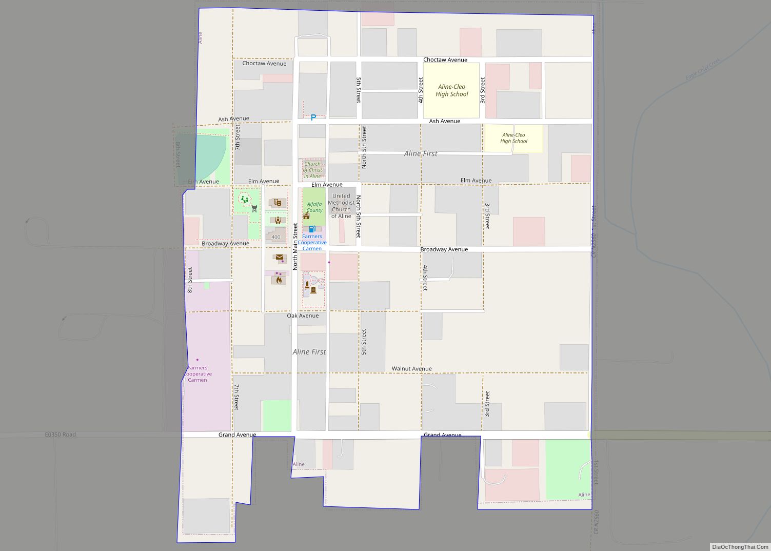
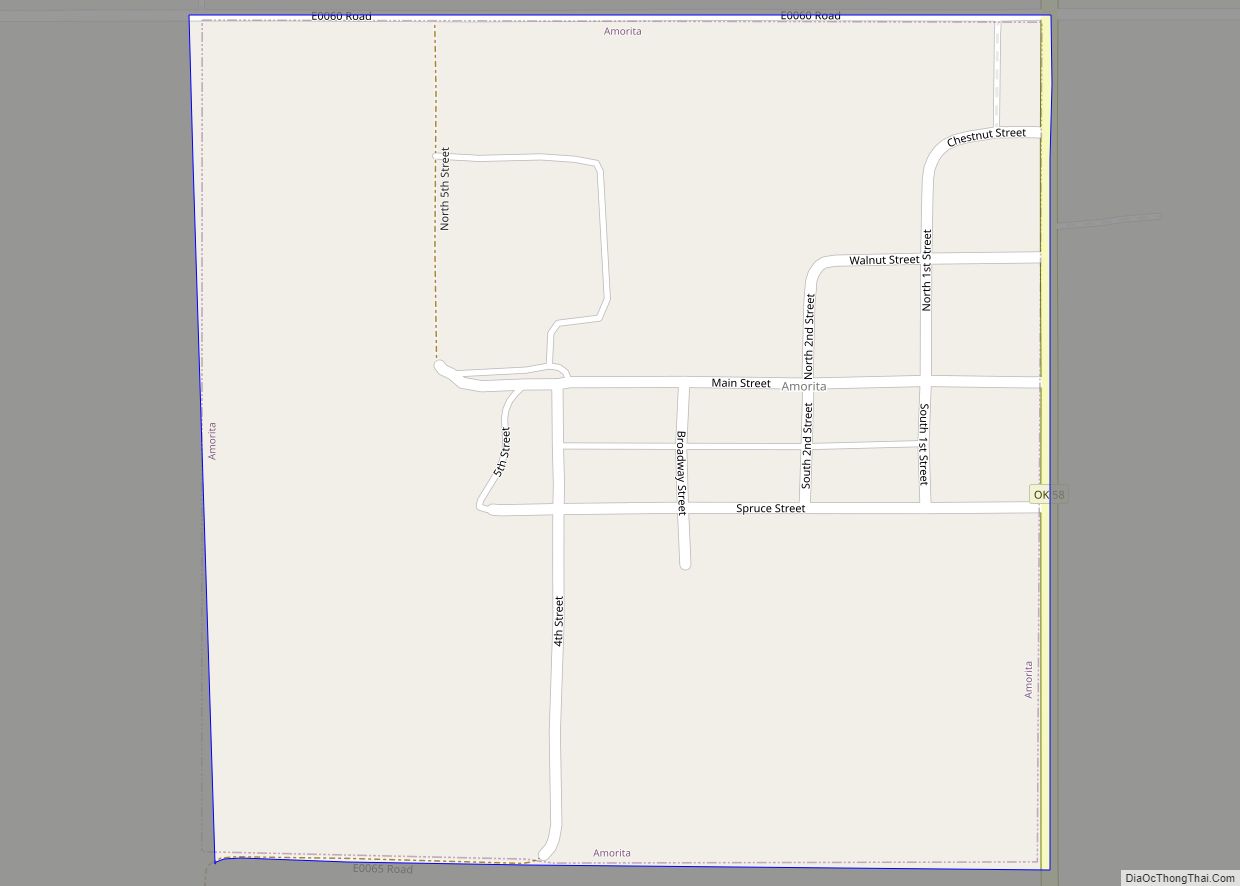
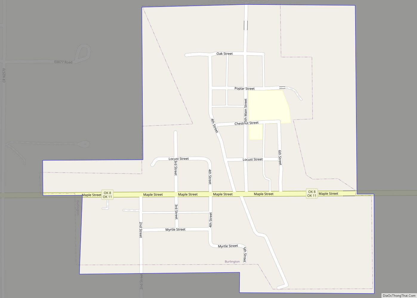
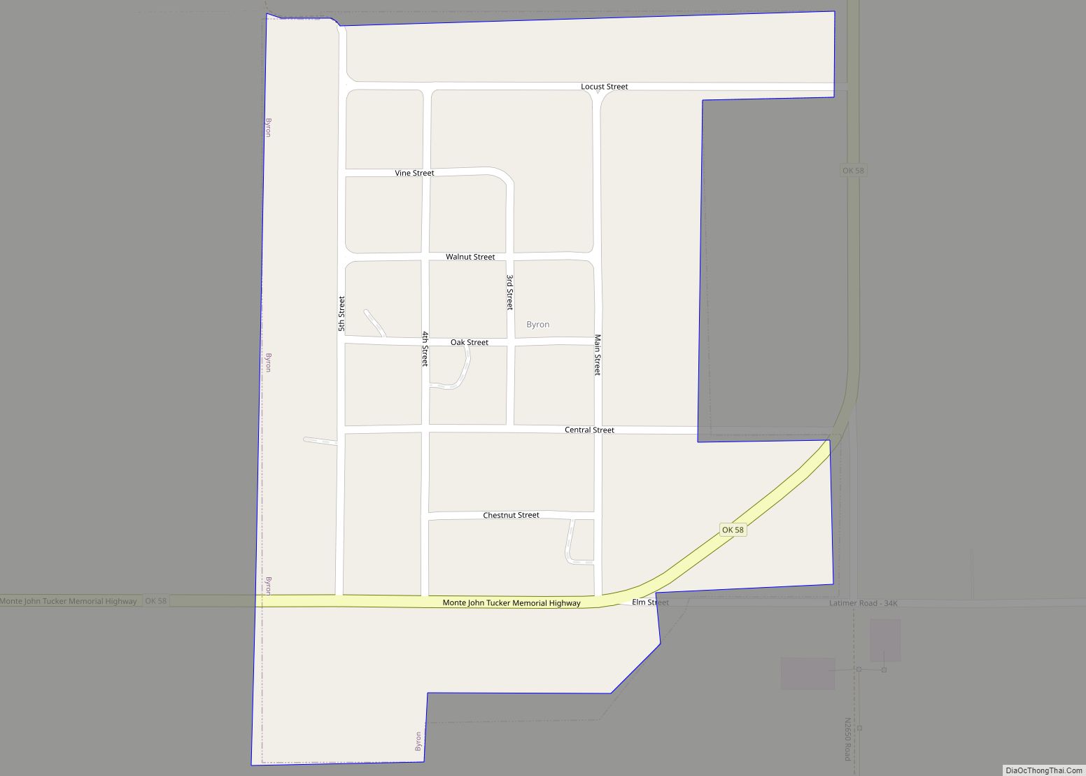
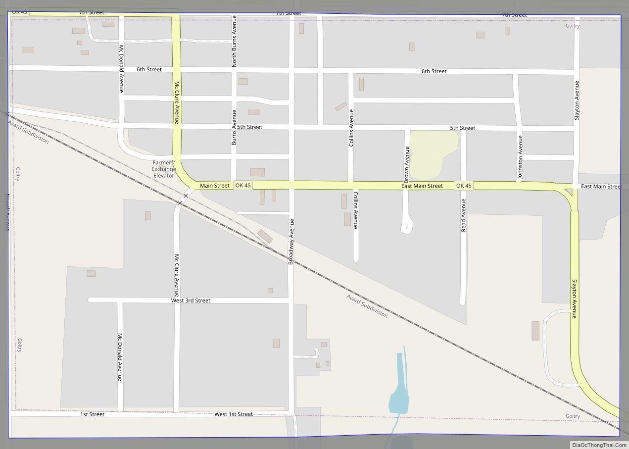
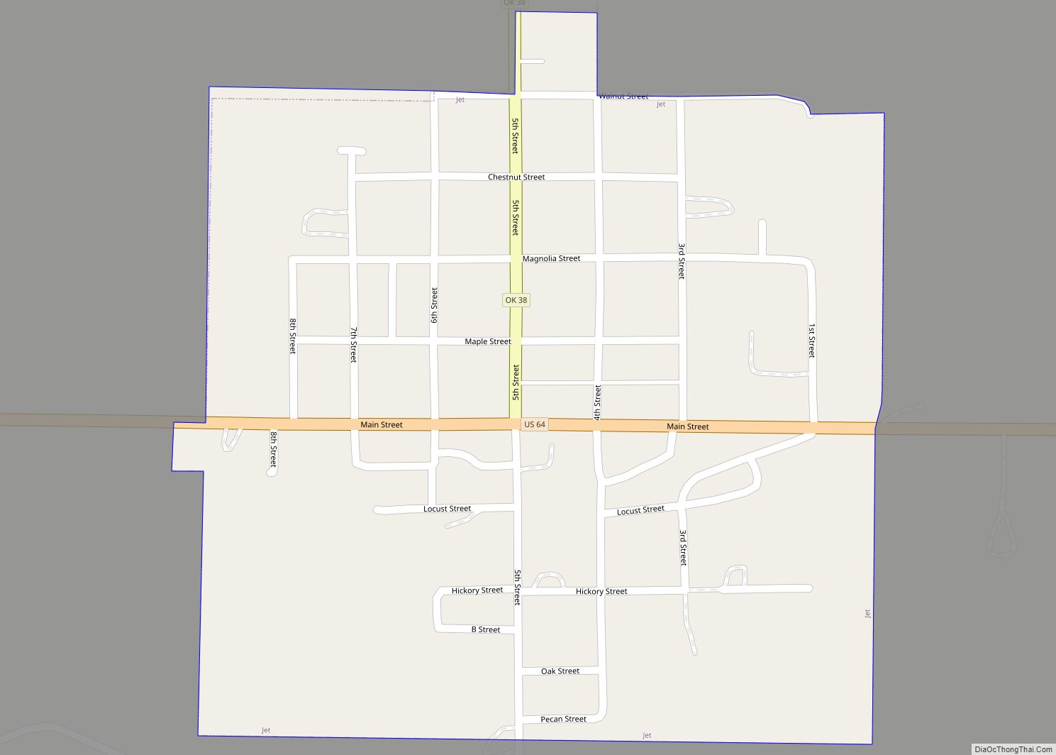
Online Interactive Map
Click on ![]() to view map in "full screen" mode.
to view map in "full screen" mode.
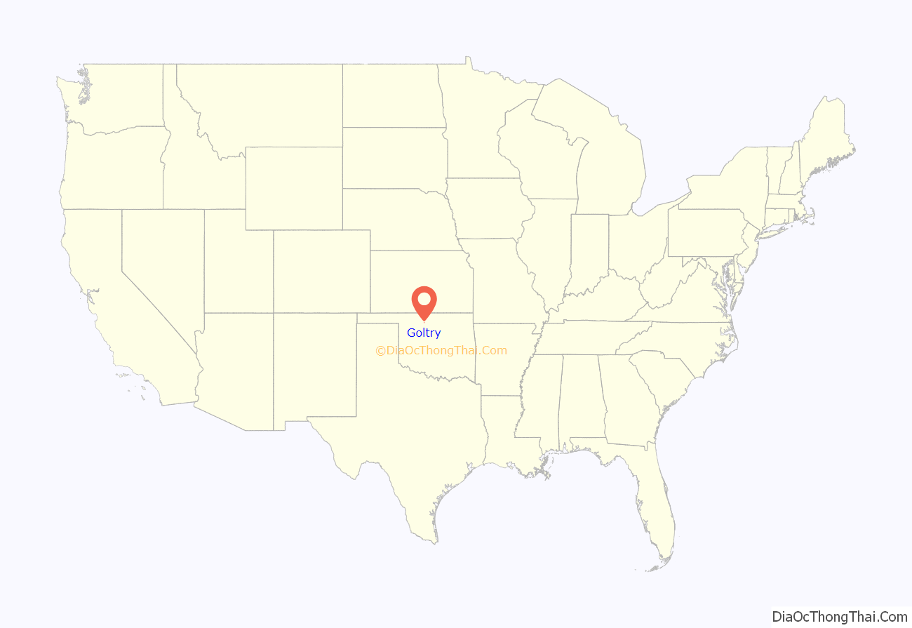
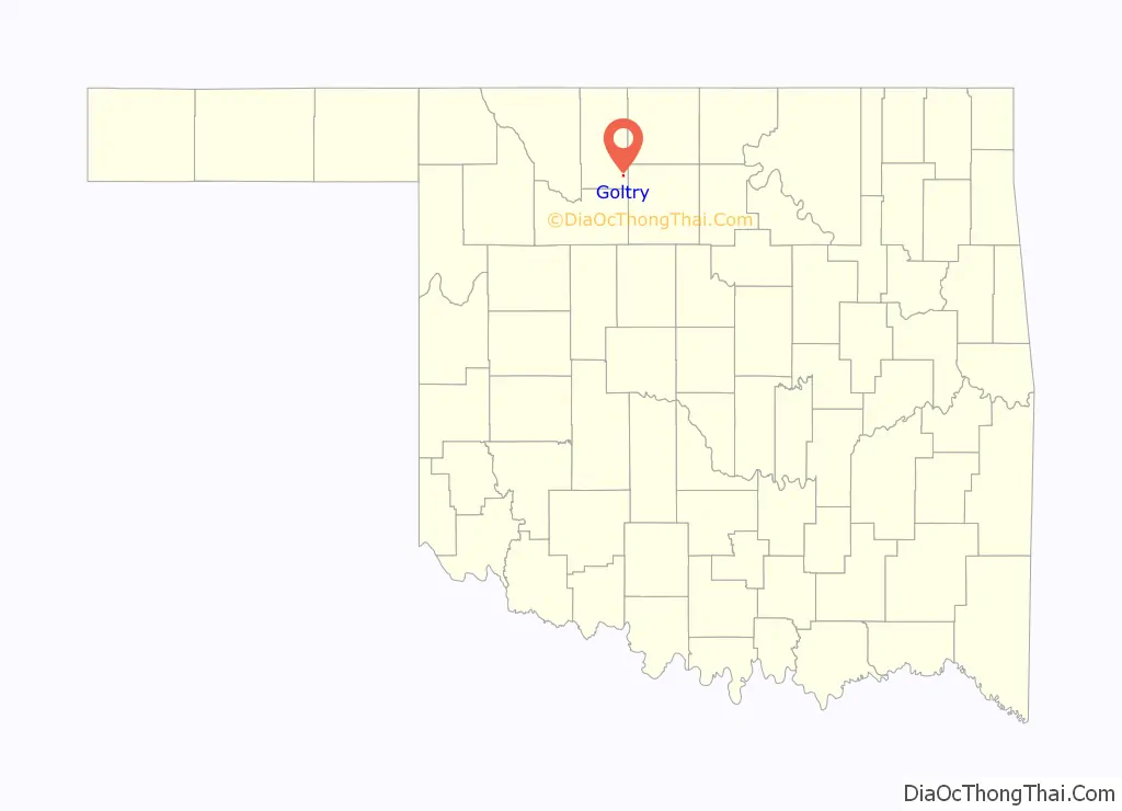
Goltry location map. Where is Goltry town?
History
Part of the Cherokee Outlet, the area was not open to non-Indian settlement until September 1893. After the opening, a settlement called Karoma emerged on the John Streich farm, approximately one and one-half miles southeast of present Goltry. The Arkansas Valley and Western Railway (later part of the St. Louis and San Francisco Railway, or Frisco, system) constructed a line in 1904 from east to west apart Woods County that after 1907 was Alfalfa County. Karoma’s townspeople moved most of their homes and businesses to the railroad. In 1904 a townsite company headed by John Linden surveyed and platted the town on 240 acres. The new community was incorporated and named for Enid resident Charles Goltry, who owned the land and whose milling company constructed a grain elevator there. Many of the early settlers were Germans from Russia, in addition to a number from the then German state of Bohemia and from Switzerland. At one time, Goltry was home to two German Mennonite churches. The remaining Mennonite church, the Pleasant View Church of God in Christ Mennonite, was organized in 1905, by settlers who began to arrive in 1900. As late as 2000, one-third of the town’s residents claimed German ancestry. Birthplace of Wally Parks in 1913, the founder of the National Hot Rod Association.
Goltry Road Map
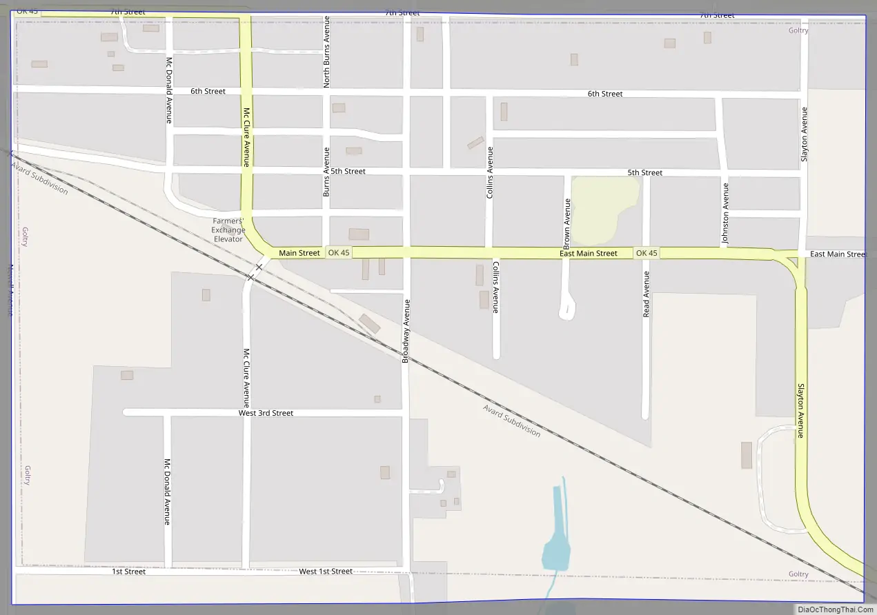
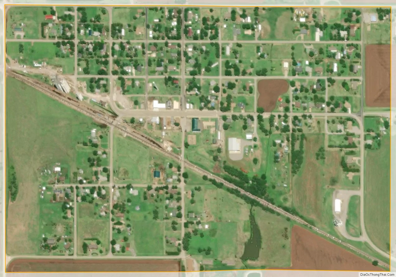
Goltry city Satellite Map
Geography
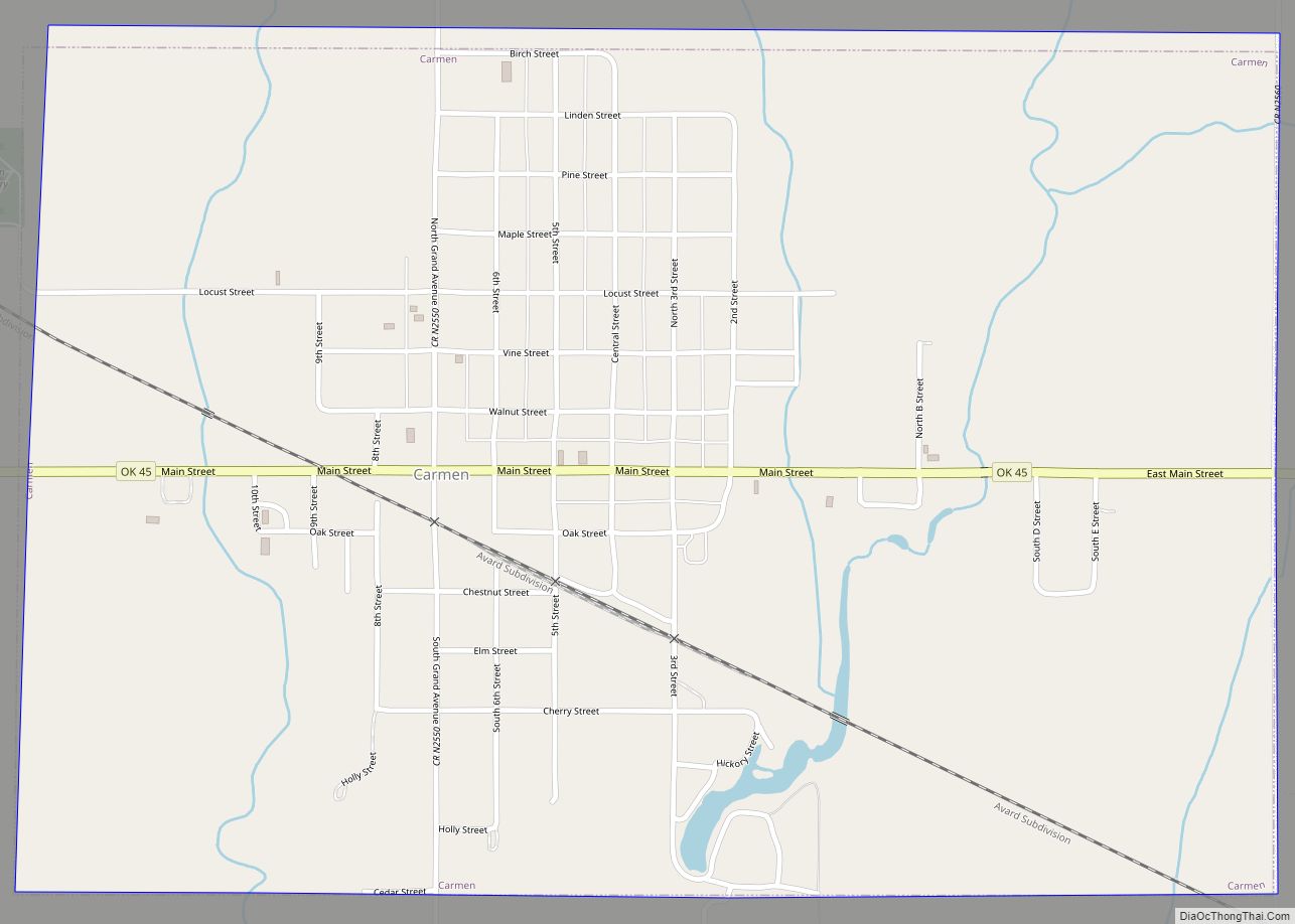
Situated in far southeastern Alfalfa County, Goltry lies along State Highway 45. Goltry lies midway between the county seat of Cherokee, and the nearest city, Enid, via the aforementioned State Highway 45.
According to the United States Census Bureau, the town has a total area of 0.375 square miles (0.97 km), all land.
See also
Map of Oklahoma State and its subdivision:- Adair
- Alfalfa
- Atoka
- Beaver
- Beckham
- Blaine
- Bryan
- Caddo
- Canadian
- Carter
- Cherokee
- Choctaw
- Cimarron
- Cleveland
- Coal
- Comanche
- Cotton
- Craig
- Creek
- Custer
- Delaware
- Dewey
- Ellis
- Garfield
- Garvin
- Grady
- Grant
- Greer
- Harmon
- Harper
- Haskell
- Hughes
- Jackson
- Jefferson
- Johnston
- Kay
- Kingfisher
- Kiowa
- Latimer
- Le Flore
- Lincoln
- Logan
- Love
- Major
- Marshall
- Mayes
- McClain
- McCurtain
- McIntosh
- Murray
- Muskogee
- Noble
- Nowata
- Okfuskee
- Oklahoma
- Okmulgee
- Osage
- Ottawa
- Pawnee
- Payne
- Pittsburg
- Pontotoc
- Pottawatomie
- Pushmataha
- Roger Mills
- Rogers
- Seminole
- Sequoyah
- Stephens
- Texas
- Tillman
- Tulsa
- Wagoner
- Washington
- Washita
- Woods
- Woodward
- Alabama
- Alaska
- Arizona
- Arkansas
- California
- Colorado
- Connecticut
- Delaware
- District of Columbia
- Florida
- Georgia
- Hawaii
- Idaho
- Illinois
- Indiana
- Iowa
- Kansas
- Kentucky
- Louisiana
- Maine
- Maryland
- Massachusetts
- Michigan
- Minnesota
- Mississippi
- Missouri
- Montana
- Nebraska
- Nevada
- New Hampshire
- New Jersey
- New Mexico
- New York
- North Carolina
- North Dakota
- Ohio
- Oklahoma
- Oregon
- Pennsylvania
- Rhode Island
- South Carolina
- South Dakota
- Tennessee
- Texas
- Utah
- Vermont
- Virginia
- Washington
- West Virginia
- Wisconsin
- Wyoming