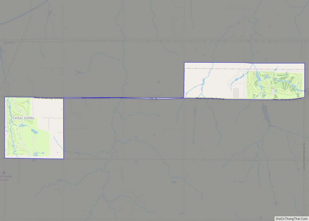
Cedar Valley is a city in Logan County, Oklahoma, United States. The population was 288 at the 2010 census, nearly five times the figure of 58 in 2000. It is part of the Oklahoma City Metropolitan Statistical Area. It is primarily a bedroom community, since more than 90 percent of the employed inhabitants commute to work in other towns. The main attraction is Cedar Valley Golf Club, which is by far the largest business in town.
| Name: | Cedar Valley city |
|---|---|
| LSAD Code: | 25 |
| LSAD Description: | city (suffix) |
| State: | Oklahoma |
| County: | Logan County |
| Elevation: | 1,034 ft (315 m) |
| Total Area: | 2.00 sq mi (5.19 km²) |
| Land Area: | 2.00 sq mi (5.19 km²) |
| Water Area: | 0.00 sq mi (0.00 km²) |
| Total Population: | 405 |
| Population Density: | 202.20/sq mi (78.08/km²) |
| Area code: | 405/572 |
| FIPS code: | 4012960 |
| GNISfeature ID: | 1102932 |
Online Interactive Map
Click on ![]() to view map in "full screen" mode.
to view map in "full screen" mode.
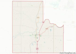
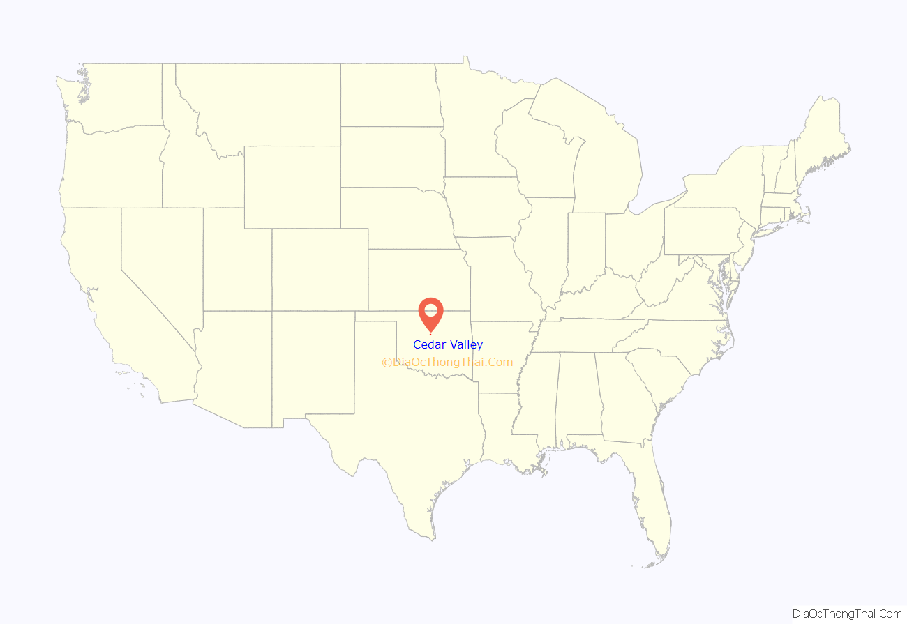
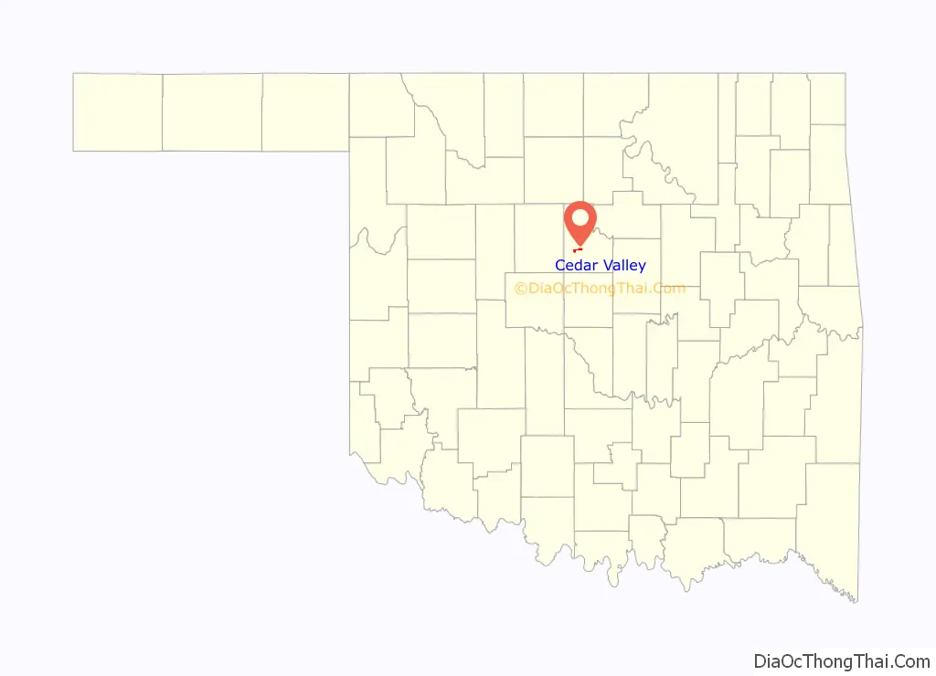
Cedar Valley location map. Where is Cedar Valley city?
History
Golf course developer Duffy Martin constructed the Cedar Valley Golf Club during 1973–4 in rural Logan County, near Cedar Creek, an unincorporated place with 61 residents in 1960. Several residences were also built on the property, and the new community had an estimated population of 33 by 1980. Residents voted to incorporate Cedar Valley in July 1982. Two additional golf courses opened in the early 1980s. Cimarron National Golf Club opened in August 1992 and Aqua Canyon opened in 1994. The town population was 61 in the 1990 census, 58 in 2000 and 288 in 2010.
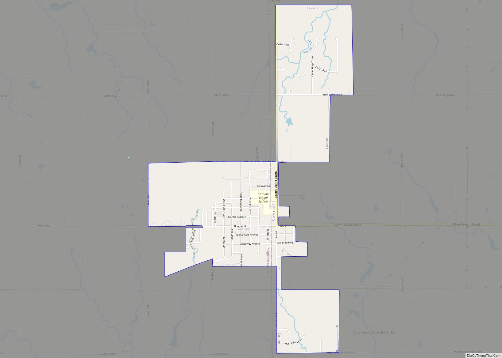
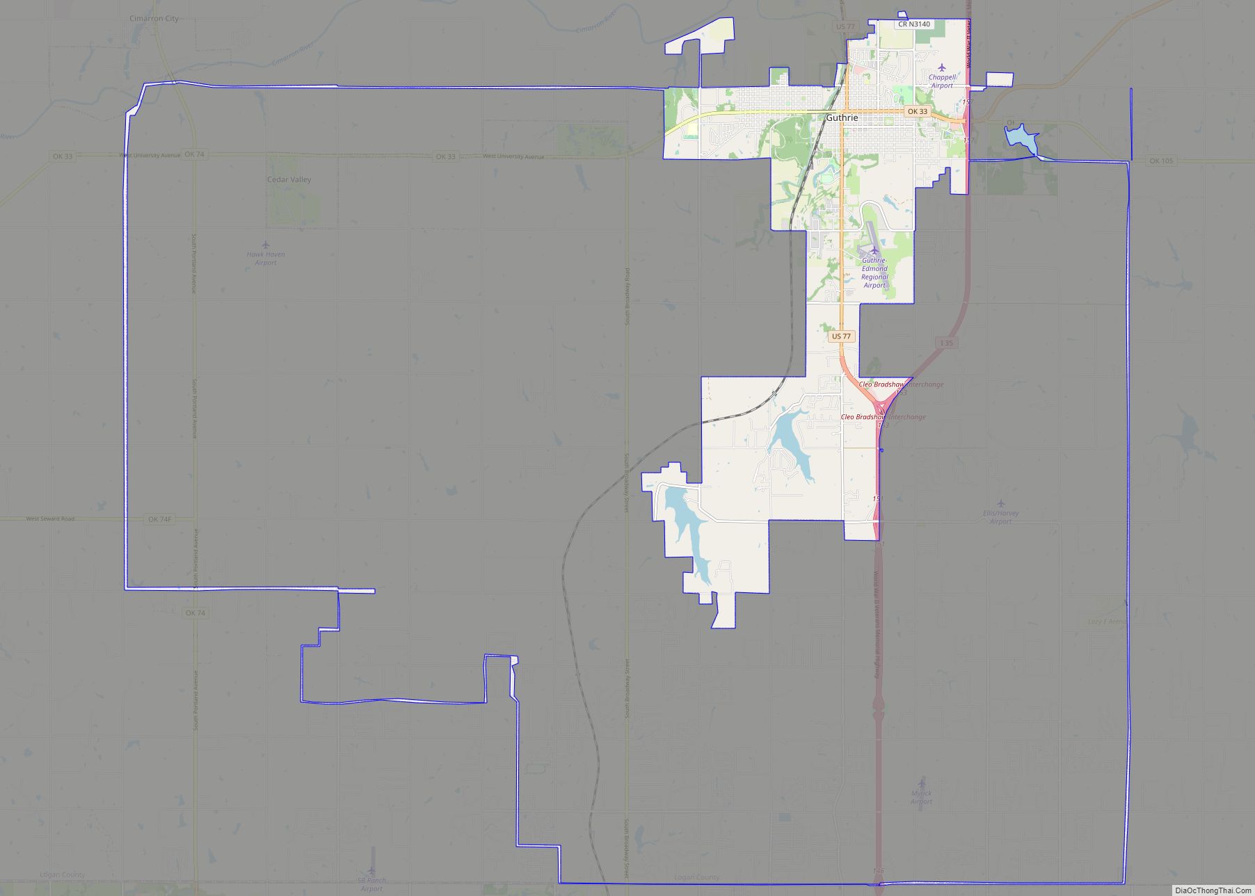
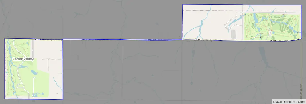
Cedar Valley Road Map
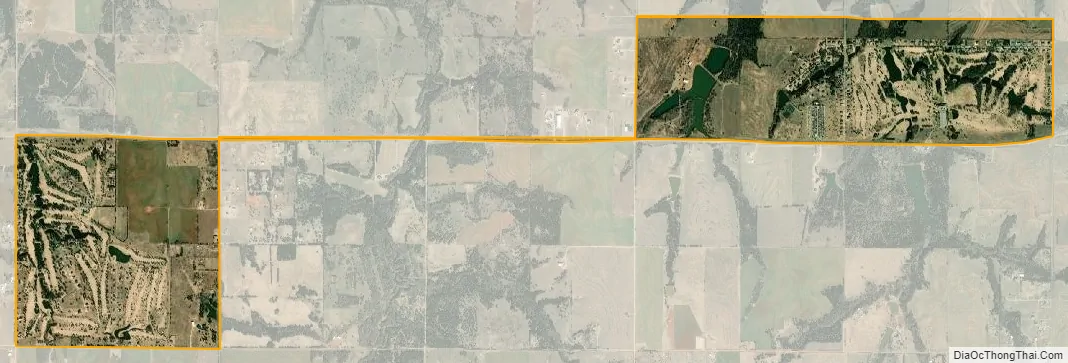
Cedar Valley city Satellite Map
Geography
Cedar Valley is located at 35°51′37″N 97°33′47″W / 35.860246°N 97.562987°W / 35.860246; -97.562987. It is 8 miles (13 km) west of Guthrie and one mile south of the Cimarron River.
According to the United States Census Bureau, the city has a total area of 0.5 square miles (1.3 km), all land.
See also
Map of Oklahoma State and its subdivision:- Adair
- Alfalfa
- Atoka
- Beaver
- Beckham
- Blaine
- Bryan
- Caddo
- Canadian
- Carter
- Cherokee
- Choctaw
- Cimarron
- Cleveland
- Coal
- Comanche
- Cotton
- Craig
- Creek
- Custer
- Delaware
- Dewey
- Ellis
- Garfield
- Garvin
- Grady
- Grant
- Greer
- Harmon
- Harper
- Haskell
- Hughes
- Jackson
- Jefferson
- Johnston
- Kay
- Kingfisher
- Kiowa
- Latimer
- Le Flore
- Lincoln
- Logan
- Love
- Major
- Marshall
- Mayes
- McClain
- McCurtain
- McIntosh
- Murray
- Muskogee
- Noble
- Nowata
- Okfuskee
- Oklahoma
- Okmulgee
- Osage
- Ottawa
- Pawnee
- Payne
- Pittsburg
- Pontotoc
- Pottawatomie
- Pushmataha
- Roger Mills
- Rogers
- Seminole
- Sequoyah
- Stephens
- Texas
- Tillman
- Tulsa
- Wagoner
- Washington
- Washita
- Woods
- Woodward
- Alabama
- Alaska
- Arizona
- Arkansas
- California
- Colorado
- Connecticut
- Delaware
- District of Columbia
- Florida
- Georgia
- Hawaii
- Idaho
- Illinois
- Indiana
- Iowa
- Kansas
- Kentucky
- Louisiana
- Maine
- Maryland
- Massachusetts
- Michigan
- Minnesota
- Mississippi
- Missouri
- Montana
- Nebraska
- Nevada
- New Hampshire
- New Jersey
- New Mexico
- New York
- North Carolina
- North Dakota
- Ohio
- Oklahoma
- Oregon
- Pennsylvania
- Rhode Island
- South Carolina
- South Dakota
- Tennessee
- Texas
- Utah
- Vermont
- Virginia
- Washington
- West Virginia
- Wisconsin
- Wyoming