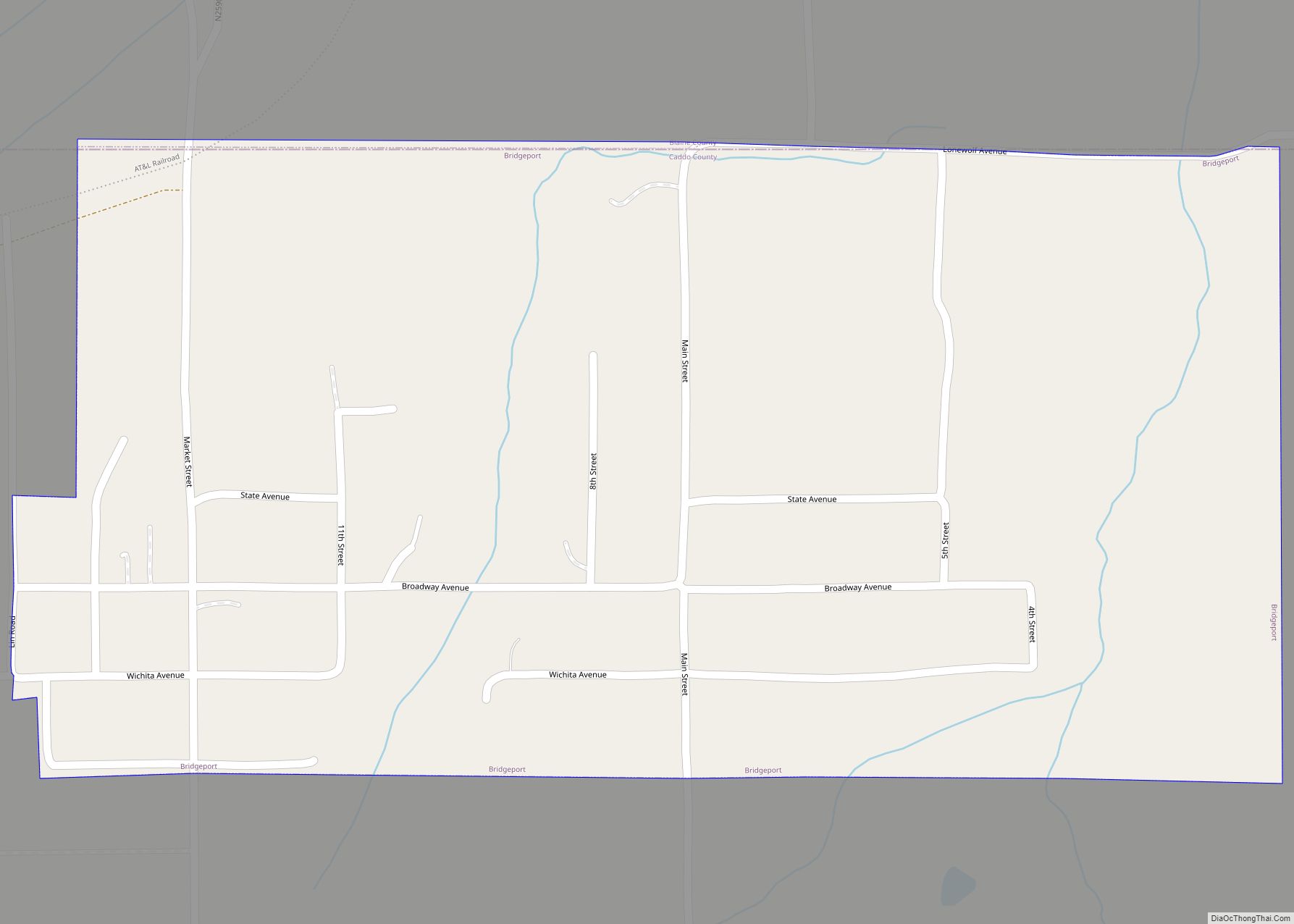
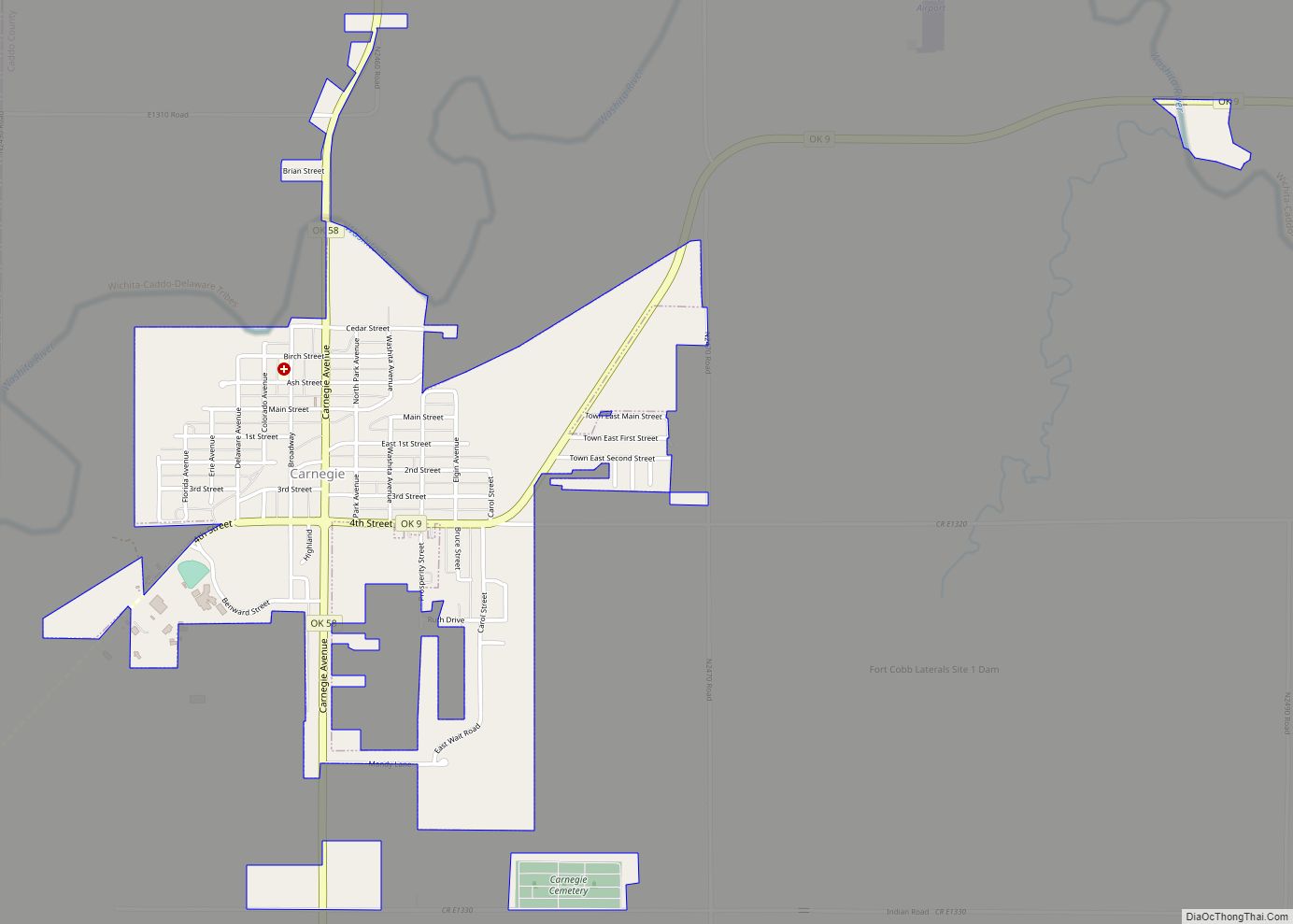
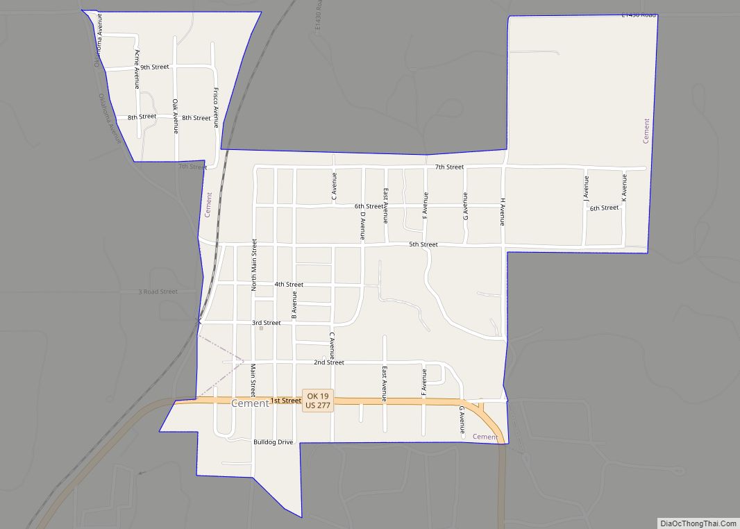
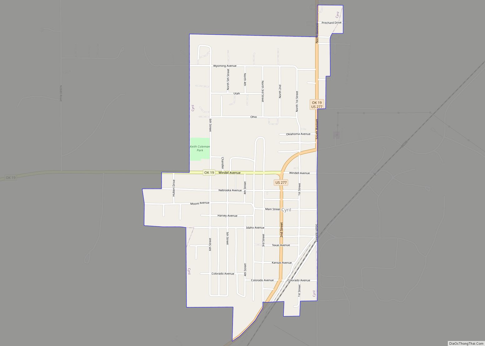
Cement is a town in Caddo County, Oklahoma, United States. The population was 501 at the 2010 census.
The community was named for its early cement industry.
| Name: | Cement town |
|---|---|
| LSAD Code: | 43 |
| LSAD Description: | town (suffix) |
| State: | Oklahoma |
| County: | Caddo County |
| Elevation: | 1,457 ft (444 m) |
| Total Area: | 0.48 sq mi (1.25 km²) |
| Land Area: | 0.48 sq mi (1.25 km²) |
| Water Area: | 0.00 sq mi (0.00 km²) |
| Total Population: | 436 |
| Population Density: | 900.83/sq mi (347.92/km²) |
| ZIP code: | 73017 |
| Area code: | 405/572 |
| FIPS code: | 4013000 |
| GNISfeature ID: | 1091138 |
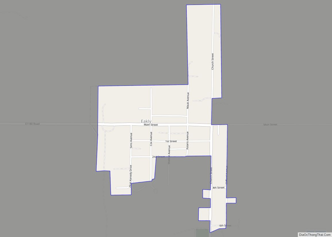
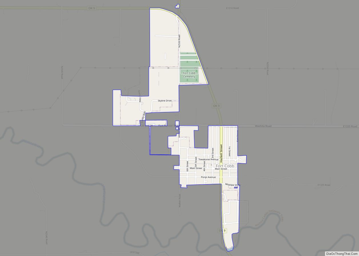
Online Interactive Map
Click on ![]() to view map in "full screen" mode.
to view map in "full screen" mode.
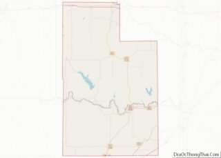
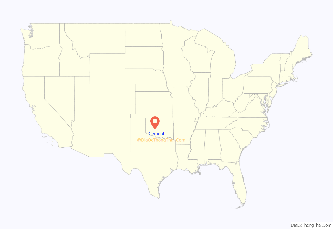
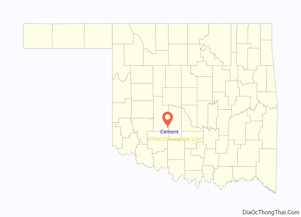
Cement location map. Where is Cement town?
Cement Road Map
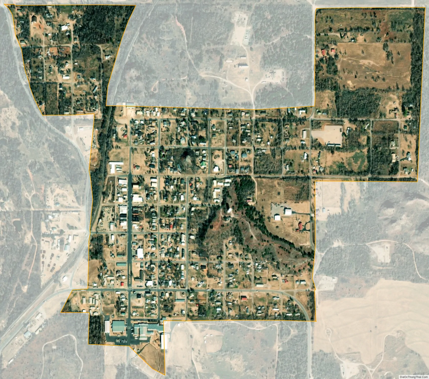
Cement city Satellite Map
Geography
Cement is located near the southeast corner of Caddo County at 34°56′8″N 98°8′14″W / 34.93556°N 98.13722°W / 34.93556; -98.13722 (34.935441, -98.137320). U.S. Route 277 passes through the town, leading east then north 18 miles (29 km) to Chickasha and southwest 31 miles (50 km) to Lawton. Oklahoma City is 60 miles (97 km) to the northeast via US-277 and Interstate 44.
According to the United States Census Bureau, Cement has a total area of 0.46 square miles (1.2 km), all land.
See also
Map of Oklahoma State and its subdivision:- Adair
- Alfalfa
- Atoka
- Beaver
- Beckham
- Blaine
- Bryan
- Caddo
- Canadian
- Carter
- Cherokee
- Choctaw
- Cimarron
- Cleveland
- Coal
- Comanche
- Cotton
- Craig
- Creek
- Custer
- Delaware
- Dewey
- Ellis
- Garfield
- Garvin
- Grady
- Grant
- Greer
- Harmon
- Harper
- Haskell
- Hughes
- Jackson
- Jefferson
- Johnston
- Kay
- Kingfisher
- Kiowa
- Latimer
- Le Flore
- Lincoln
- Logan
- Love
- Major
- Marshall
- Mayes
- McClain
- McCurtain
- McIntosh
- Murray
- Muskogee
- Noble
- Nowata
- Okfuskee
- Oklahoma
- Okmulgee
- Osage
- Ottawa
- Pawnee
- Payne
- Pittsburg
- Pontotoc
- Pottawatomie
- Pushmataha
- Roger Mills
- Rogers
- Seminole
- Sequoyah
- Stephens
- Texas
- Tillman
- Tulsa
- Wagoner
- Washington
- Washita
- Woods
- Woodward
- Alabama
- Alaska
- Arizona
- Arkansas
- California
- Colorado
- Connecticut
- Delaware
- District of Columbia
- Florida
- Georgia
- Hawaii
- Idaho
- Illinois
- Indiana
- Iowa
- Kansas
- Kentucky
- Louisiana
- Maine
- Maryland
- Massachusetts
- Michigan
- Minnesota
- Mississippi
- Missouri
- Montana
- Nebraska
- Nevada
- New Hampshire
- New Jersey
- New Mexico
- New York
- North Carolina
- North Dakota
- Ohio
- Oklahoma
- Oregon
- Pennsylvania
- Rhode Island
- South Carolina
- South Dakota
- Tennessee
- Texas
- Utah
- Vermont
- Virginia
- Washington
- West Virginia
- Wisconsin
- Wyoming