Chickasha /ˈtʃɪkəʃeɪ/ is a city in and the county seat of Grady County, Oklahoma, United States. The population was 16,051 at the 2020 census, a 0.1% increase from 2010. Chickasha is home to the University of Science and Arts of Oklahoma. The city is named for and strongly connected to Native American heritage, as “Chickasha” (Chikashsha) is the Choctaw word for Chickasaw.
| Name: | Chickasha city |
|---|---|
| LSAD Code: | 25 |
| LSAD Description: | city (suffix) |
| State: | Oklahoma |
| County: | Grady County |
| Elevation: | 1,112 ft (339 m) |
| Total Area: | 22.48 sq mi (58.23 km²) |
| Land Area: | 22.43 sq mi (58.11 km²) |
| Water Area: | 0.05 sq mi (0.12 km²) |
| Total Population: | 16,051 |
| Population Density: | 715.44/sq mi (276.24/km²) |
| Area code: | 405 |
| FIPS code: | 4013950 |
| GNISfeature ID: | 2409446 |
| Website: | www.chickasha.org |
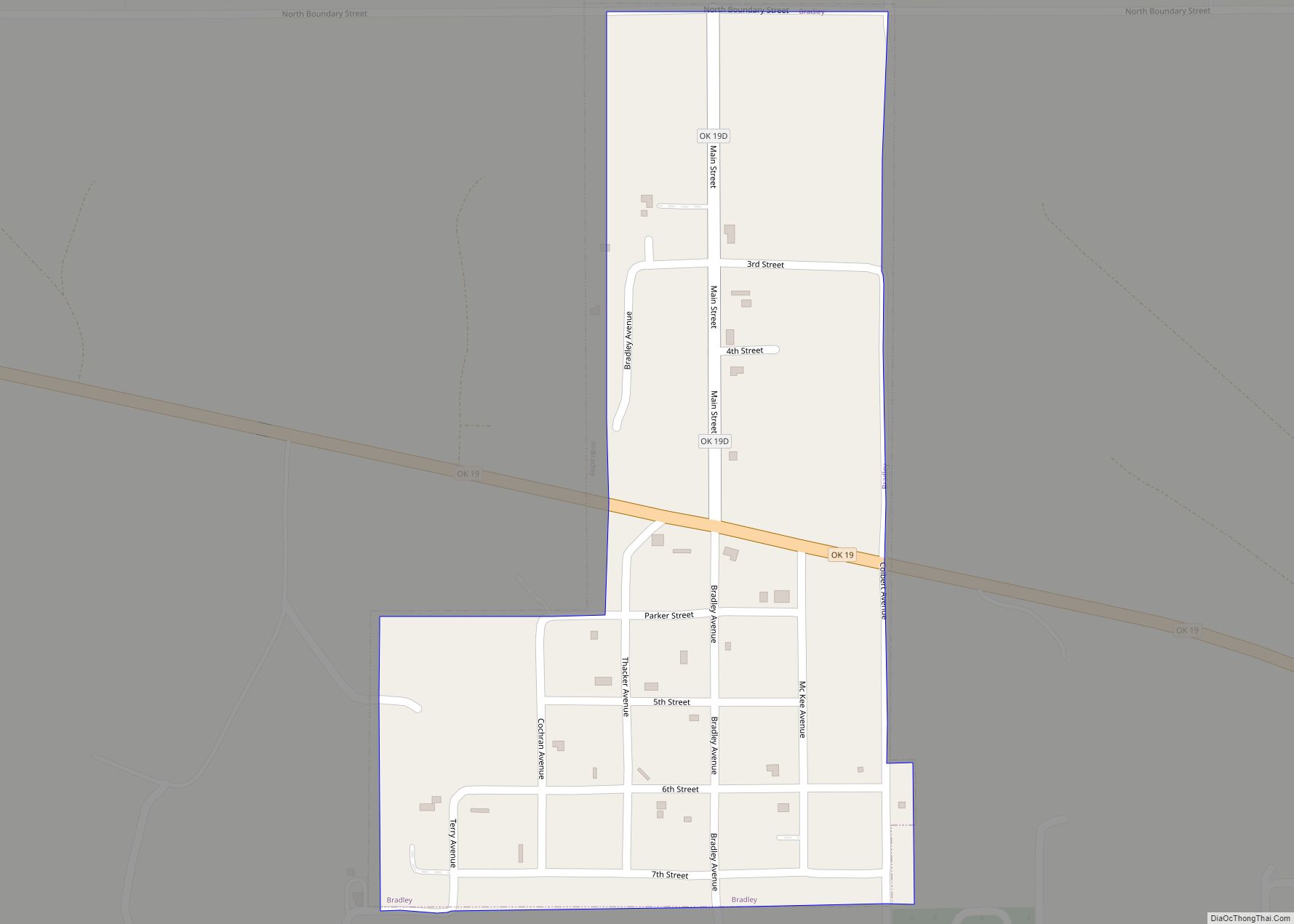
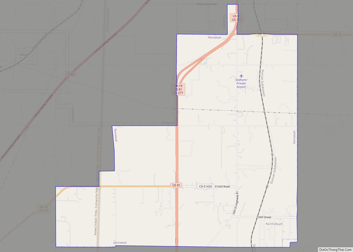
Online Interactive Map
Click on ![]() to view map in "full screen" mode.
to view map in "full screen" mode.
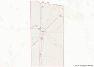
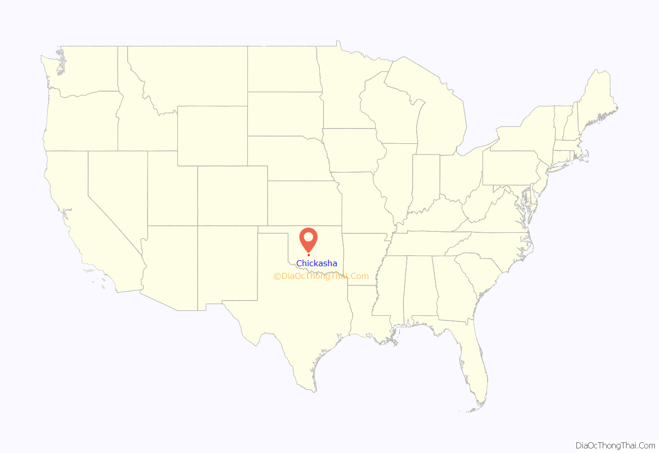
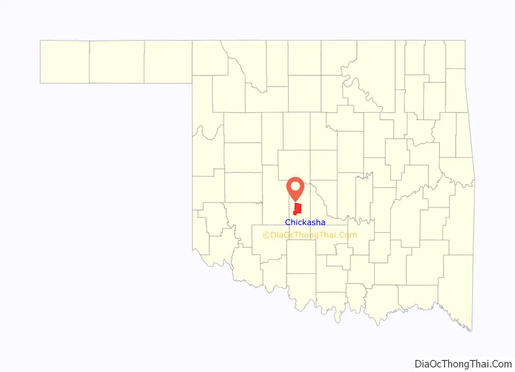
Chickasha location map. Where is Chickasha city?
History
Chickasha was founded by Hobart Johnstone Whitley, a land developer, banker, farmer and Rock Island Railroad executive. The founding took place in 1892 when the Chicago, Rock Island and Pacific Railway (Rock Island) built a track through Indian Territory. A post office was established in June 1892. One of the earliest industrial plants to come to Chickasha was the Chickasha Cotton Oil Company, which was established in 1899. The town incorporated in 1902.
At the time of its founding, Chickasha was located in Pontotoc County, Chickasaw Nation.
In 1908, the Oklahoma Industrial Institute and College for Girls was established in Chickasha. A local rancher named J. B. Sparks donated land for the school in memory of his daughter, Nellie. The girl was a Chickasaw descendant, and the land had been part of her allotment. The Nellie Sparks Dormitory commemorated her. The school was renamed as the Oklahoma College for Women in 1916. It became coeducational in 1965, and was renamed the Oklahoma College of Liberal Arts. It was renamed again in 1975 as the University of Science and Arts of Oklahoma.
The Wilson and Bonfis Flying School opened in October 1941 to train cadets of the U.S. Army Air Force. Over eight thousand cadets completed training there during World War II. After the war, the facility became the Chickasha Municipal Airport.
Also during the war, the army built and used Borden General Hospital. This site now contains Grady Memorial Hospital, Five Oaks Medical Group, Southern Plains Medical Center and Borden Park.
A prisoner of war camp established in 1944 is now the site of the Grady County Fairgrounds.
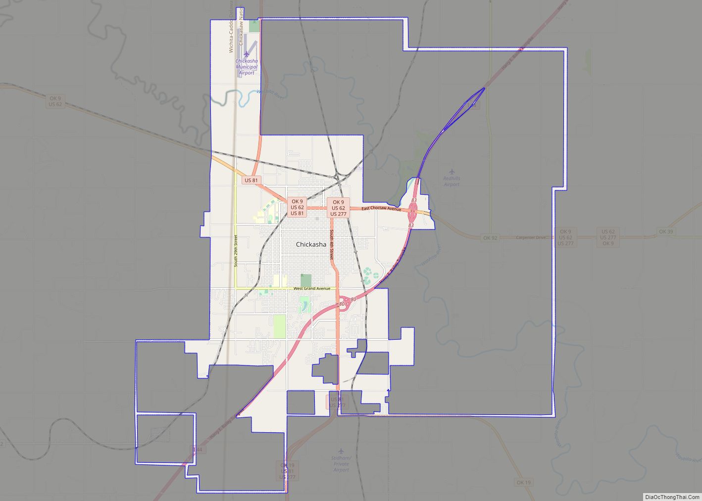
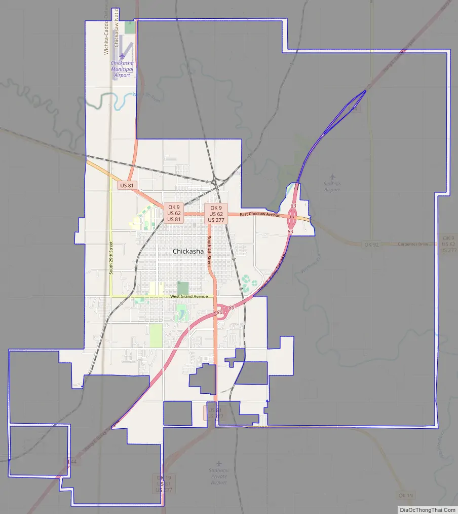
Chickasha Road Map
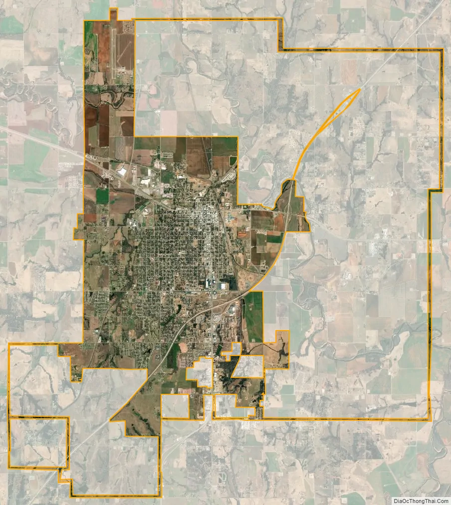
Chickasha city Satellite Map
Geography
Chickasha is located west of the center of Grady County and is 42 miles (68 km) southwest of Oklahoma City, which is accessible via Interstate 44 (the H. E. Bailey Turnpike). I-44 passes through the southeast side of the city, with access from Exits 80 and 83, and leads southwest 47 miles (76 km) to Lawton. U.S. Route 62 runs through the city as Choctaw Avenue, leading east and then northeast 18 miles (29 km) to Blanchard and west 18 miles to Anadarko. U.S. Route 81 passes through the city center, leading south 40 miles (64 km) to Duncan and north 35 miles (56 km) to El Reno. U.S. Route 277 enters Chickasha from the south with US 81 and leaves to the east with US 62.
Line Creek passes through the north part of the city and flows into the Washita River about one mile northeast of the city.
According to the United States Census Bureau, the city has a total area of 22.1 square miles (57.2 km), of which 0.04 square miles (0.1 km), or 0.22%, is water. The Washita River flows through the northern end of the city, then turns south and forms part of the city’s eastern border.
Climate
See also
Map of Oklahoma State and its subdivision:- Adair
- Alfalfa
- Atoka
- Beaver
- Beckham
- Blaine
- Bryan
- Caddo
- Canadian
- Carter
- Cherokee
- Choctaw
- Cimarron
- Cleveland
- Coal
- Comanche
- Cotton
- Craig
- Creek
- Custer
- Delaware
- Dewey
- Ellis
- Garfield
- Garvin
- Grady
- Grant
- Greer
- Harmon
- Harper
- Haskell
- Hughes
- Jackson
- Jefferson
- Johnston
- Kay
- Kingfisher
- Kiowa
- Latimer
- Le Flore
- Lincoln
- Logan
- Love
- Major
- Marshall
- Mayes
- McClain
- McCurtain
- McIntosh
- Murray
- Muskogee
- Noble
- Nowata
- Okfuskee
- Oklahoma
- Okmulgee
- Osage
- Ottawa
- Pawnee
- Payne
- Pittsburg
- Pontotoc
- Pottawatomie
- Pushmataha
- Roger Mills
- Rogers
- Seminole
- Sequoyah
- Stephens
- Texas
- Tillman
- Tulsa
- Wagoner
- Washington
- Washita
- Woods
- Woodward
- Alabama
- Alaska
- Arizona
- Arkansas
- California
- Colorado
- Connecticut
- Delaware
- District of Columbia
- Florida
- Georgia
- Hawaii
- Idaho
- Illinois
- Indiana
- Iowa
- Kansas
- Kentucky
- Louisiana
- Maine
- Maryland
- Massachusetts
- Michigan
- Minnesota
- Mississippi
- Missouri
- Montana
- Nebraska
- Nevada
- New Hampshire
- New Jersey
- New Mexico
- New York
- North Carolina
- North Dakota
- Ohio
- Oklahoma
- Oregon
- Pennsylvania
- Rhode Island
- South Carolina
- South Dakota
- Tennessee
- Texas
- Utah
- Vermont
- Virginia
- Washington
- West Virginia
- Wisconsin
- Wyoming