Choctaw is a city in Oklahoma County, Oklahoma, United States, with a population of 12,182 at the 2020 census, a 9.3% increase from 2010. It is the oldest chartered town in Oklahoma Territory. The city is located approximately 10 miles (16.1 km) east of Oklahoma City and is part of the Oklahoma City metropolitan area.
Choctaw became a community in 1890, but was not given actual status as a town until 1893 when a territorial governor was appointed for Oklahoma. It officially celebrated its 100th anniversary in 1993. In 1950, Choctaw was in an agricultural area. It had a population of 355 in that year. Despite its name, the town has no cultural, historical or governmental ties to the Choctaw Nation of Oklahoma. The tribal headquarters and casino are located in the southeastern part of the state in Durant, Oklahoma, and the Choctaw Capitol Building and annual Labor Day Festival are in Tuskahoma, Oklahoma.
Before Choctaw was chartered, the area included a part of William McClure’s 7C Ranch and was known for a trading post and a camping spot near a spring.
A community emerged on the east 80 acres (320,000 m) of land John S. Muzzy claimed in the 1889 land run and received a postal designation in early 1890.
The town incorporated in April 1904. When Oklahoma became a state in 1907, the town had 230 residents, four churches, a school, a bank, a newspaper and telephone service. By 1909, the town had three gins. The population grew very little during the Great Depression.
| Name: | Choctaw city |
|---|---|
| LSAD Code: | 25 |
| LSAD Description: | city (suffix) |
| State: | Oklahoma |
| County: | Oklahoma County |
| Elevation: | 1,152 ft (351 m) |
| Total Area: | 27.16 sq mi (70.34 km²) |
| Land Area: | 27.12 sq mi (70.25 km²) |
| Water Area: | 0.04 sq mi (0.09 km²) |
| Total Population: | 12,182 |
| Population Density: | 449.14/sq mi (173.42/km²) |
| ZIP code: | 73020 |
| Area code: | 405 |
| FIPS code: | 4014200 |
| GNISfeature ID: | 1091323 |
| Website: | http://www.choctawcity.org |
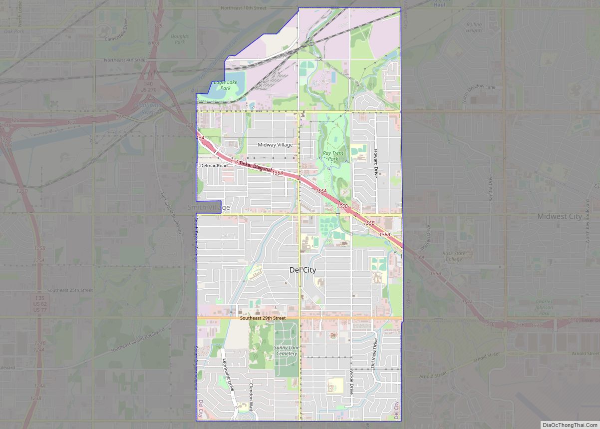
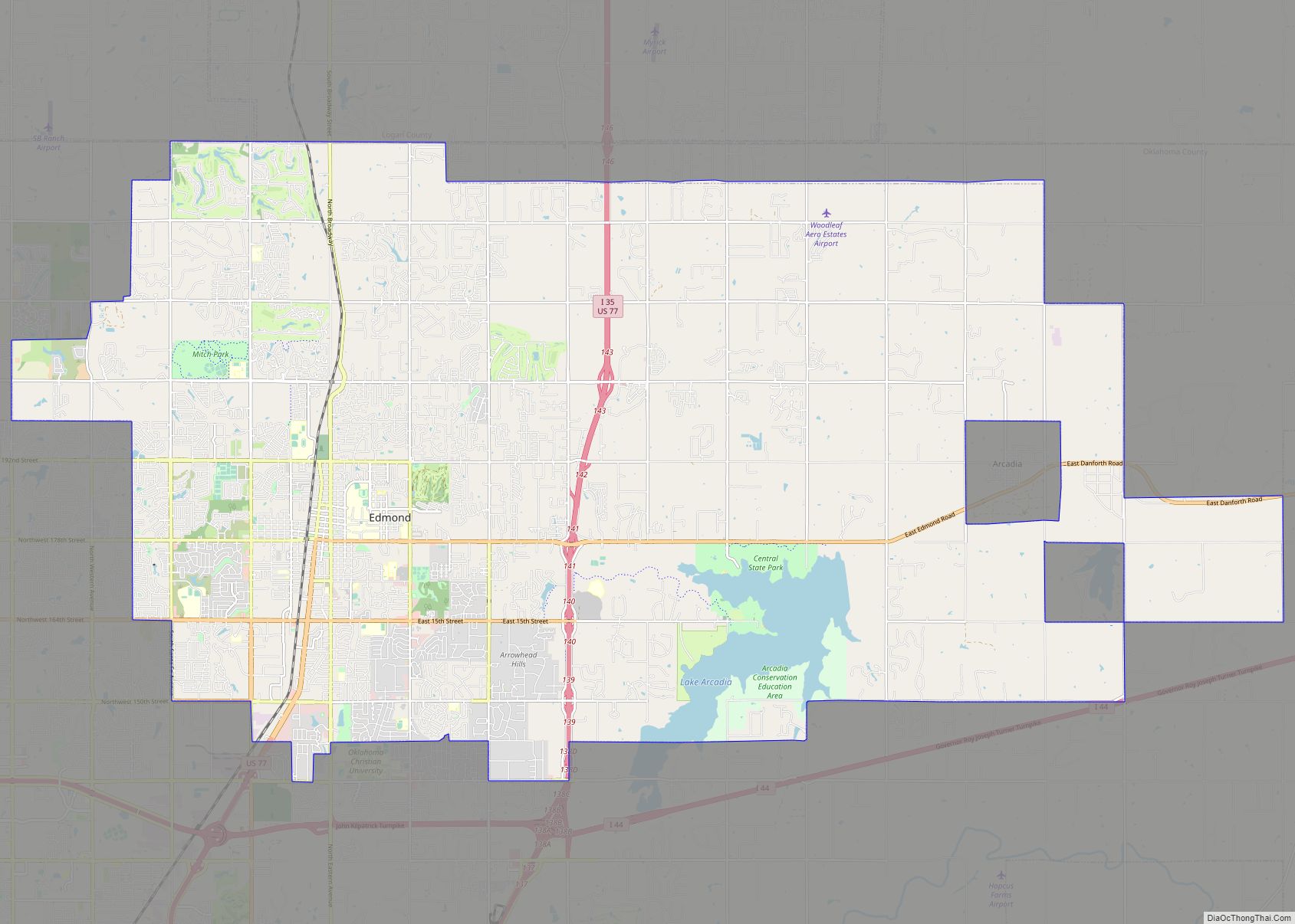
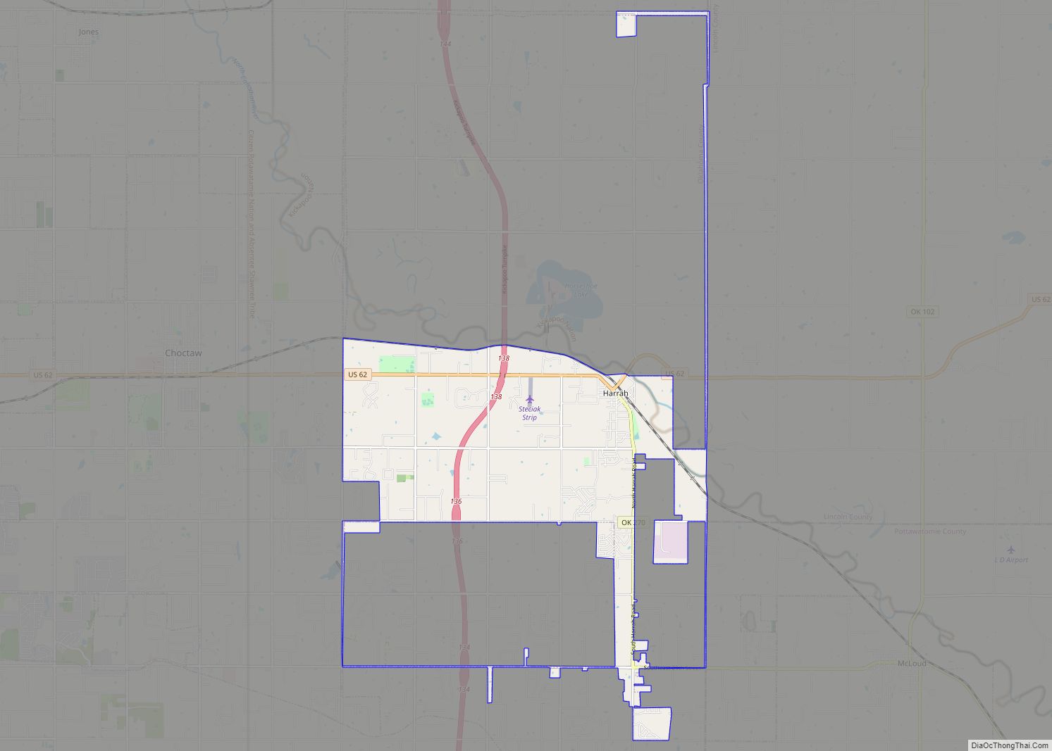
Online Interactive Map
Click on ![]() to view map in "full screen" mode.
to view map in "full screen" mode.
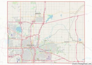
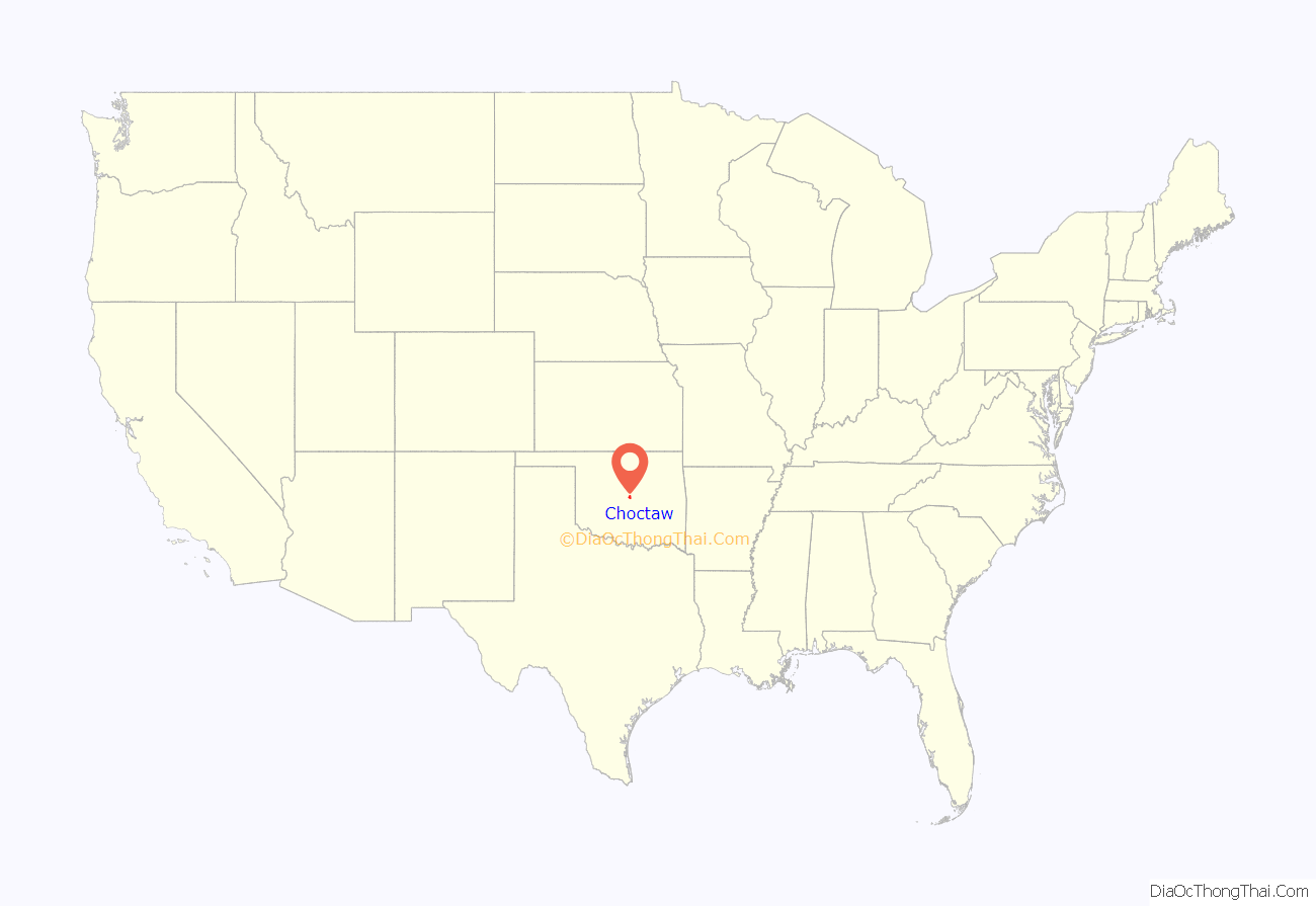
Choctaw location map. Where is Choctaw city?
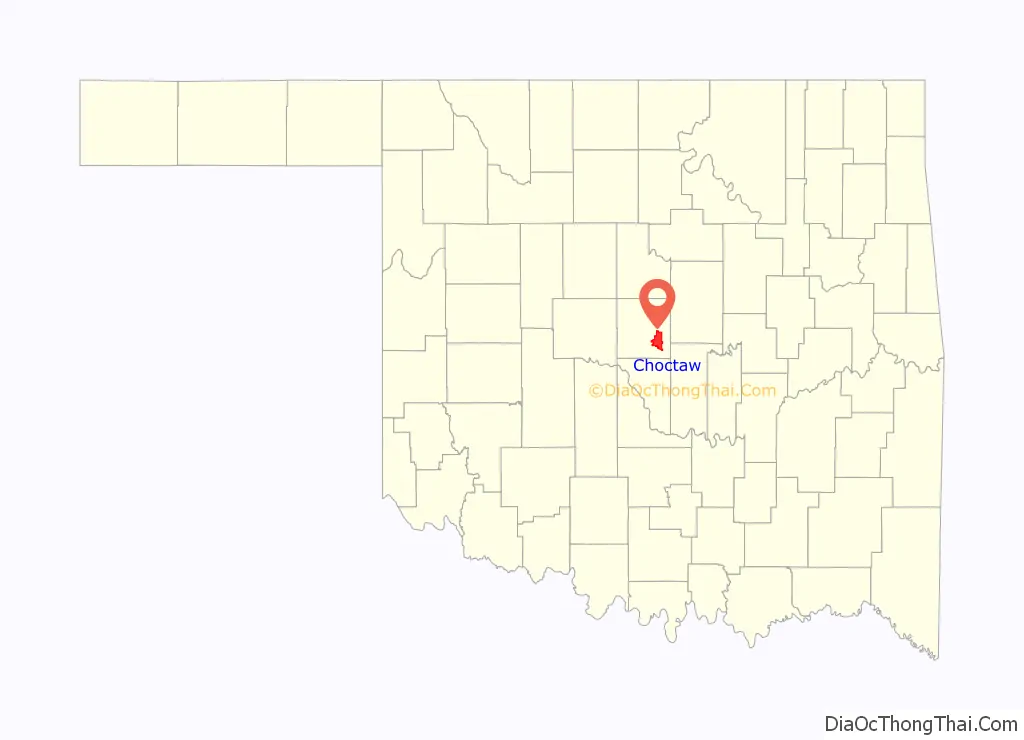
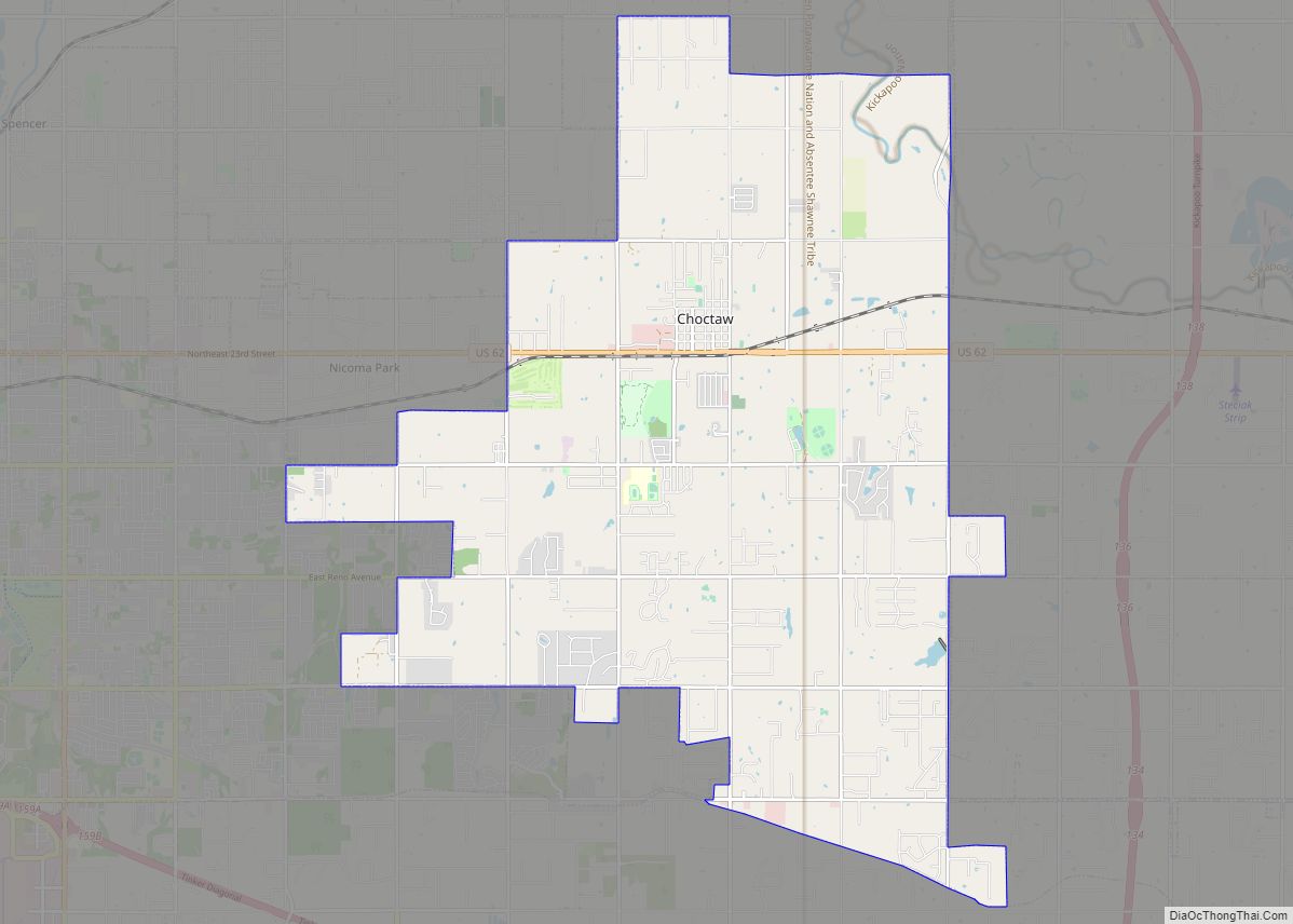
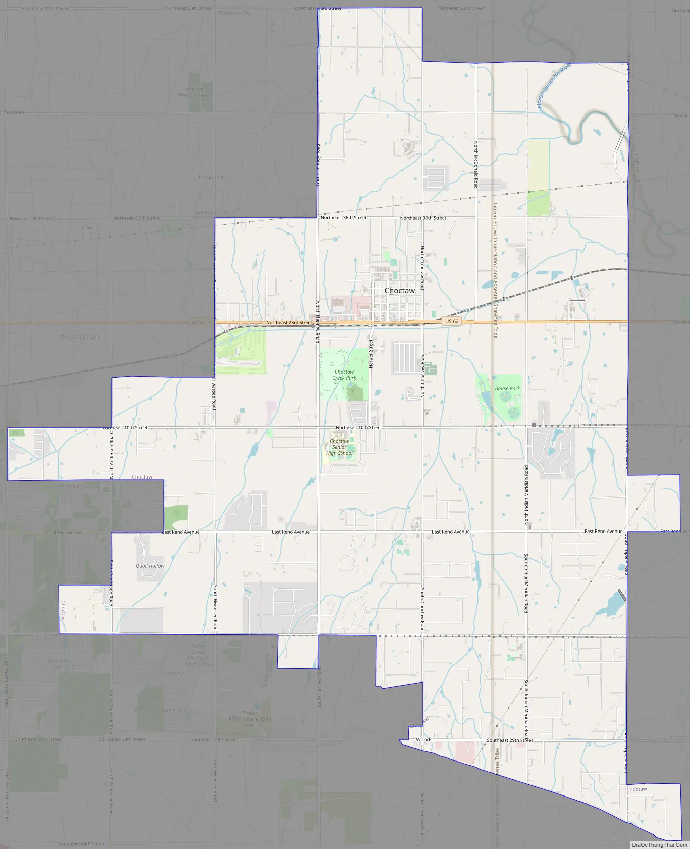
Choctaw Road Map
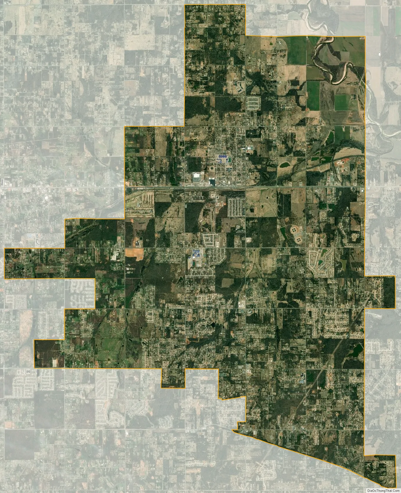
Choctaw city Satellite Map
Geography
Choctaw is a city just east of Oklahoma City and has a total area of 27.1 square miles (70 km), of which 27.1 square miles (70 km) is land and 0.04 square miles (0.10 km) is water. Its latitude and longitude is (35.482383, -97.267330).
Ecoregion and Tourism Region
Choctaw is located in the Cross Timbers ecoregion and the Frontier Country tourism region.
Climate
Choctaw has a humid subtropical climate (Köppen climate classification Cfa) and lies in an area known as Tornado Alley characterized by frequent interaction between cold and warm air masses producing severe weather. An average of 54 tornadoes strike the state per year.
See also
Map of Oklahoma State and its subdivision:- Adair
- Alfalfa
- Atoka
- Beaver
- Beckham
- Blaine
- Bryan
- Caddo
- Canadian
- Carter
- Cherokee
- Choctaw
- Cimarron
- Cleveland
- Coal
- Comanche
- Cotton
- Craig
- Creek
- Custer
- Delaware
- Dewey
- Ellis
- Garfield
- Garvin
- Grady
- Grant
- Greer
- Harmon
- Harper
- Haskell
- Hughes
- Jackson
- Jefferson
- Johnston
- Kay
- Kingfisher
- Kiowa
- Latimer
- Le Flore
- Lincoln
- Logan
- Love
- Major
- Marshall
- Mayes
- McClain
- McCurtain
- McIntosh
- Murray
- Muskogee
- Noble
- Nowata
- Okfuskee
- Oklahoma
- Okmulgee
- Osage
- Ottawa
- Pawnee
- Payne
- Pittsburg
- Pontotoc
- Pottawatomie
- Pushmataha
- Roger Mills
- Rogers
- Seminole
- Sequoyah
- Stephens
- Texas
- Tillman
- Tulsa
- Wagoner
- Washington
- Washita
- Woods
- Woodward
- Alabama
- Alaska
- Arizona
- Arkansas
- California
- Colorado
- Connecticut
- Delaware
- District of Columbia
- Florida
- Georgia
- Hawaii
- Idaho
- Illinois
- Indiana
- Iowa
- Kansas
- Kentucky
- Louisiana
- Maine
- Maryland
- Massachusetts
- Michigan
- Minnesota
- Mississippi
- Missouri
- Montana
- Nebraska
- Nevada
- New Hampshire
- New Jersey
- New Mexico
- New York
- North Carolina
- North Dakota
- Ohio
- Oklahoma
- Oregon
- Pennsylvania
- Rhode Island
- South Carolina
- South Dakota
- Tennessee
- Texas
- Utah
- Vermont
- Virginia
- Washington
- West Virginia
- Wisconsin
- Wyoming