Durant (/duːrænt/) is a city in Bryan County, Oklahoma, United States that serves as the headquarters of the Choctaw Nation of Oklahoma. The population was 18,589 in the 2020 census. Durant is the principal city of the Durant Micropolitan Statistical Area, which had a population of 46,067 in 2020. The city is the largest in the Choctaw Nation, ranking ahead of McAlester and Poteau. Durant is also part of the Dallas–Fort Worth Combined Statistical Area, anchoring the northern edge.
The city was founded by Dixon Durant, a Choctaw who lived in the area, after the MK&T railroad came through the Indian Territory in the early 1870s. It became the county seat of Bryan County in 1907 after Oklahoma statehood.
Durant is home to Southeastern Oklahoma State University and the headquarters of the Choctaw Nation. The city is officially known as the Magnolia Capital of Oklahoma. The city and its micropolitan are a major part of the Texoma region.
| Name: | Durant city |
|---|---|
| LSAD Code: | 25 |
| LSAD Description: | city (suffix) |
| State: | Oklahoma |
| County: | Bryan County |
| Elevation: | 636 ft (194 m) |
| Total Area: | 27.83 sq mi (72.08 km²) |
| Land Area: | 27.76 sq mi (71.89 km²) |
| Water Area: | 0.07 sq mi (0.18 km²) |
| Total Population: | 18,589 |
| Population Density: | 669.68/sq mi (258.56/km²) |
| ZIP code: | 74701-74702 |
| Area code: | 580 |
| FIPS code: | 4022050 |
| GNISfeature ID: | 1092307 |
| Website: | www.durant.org |
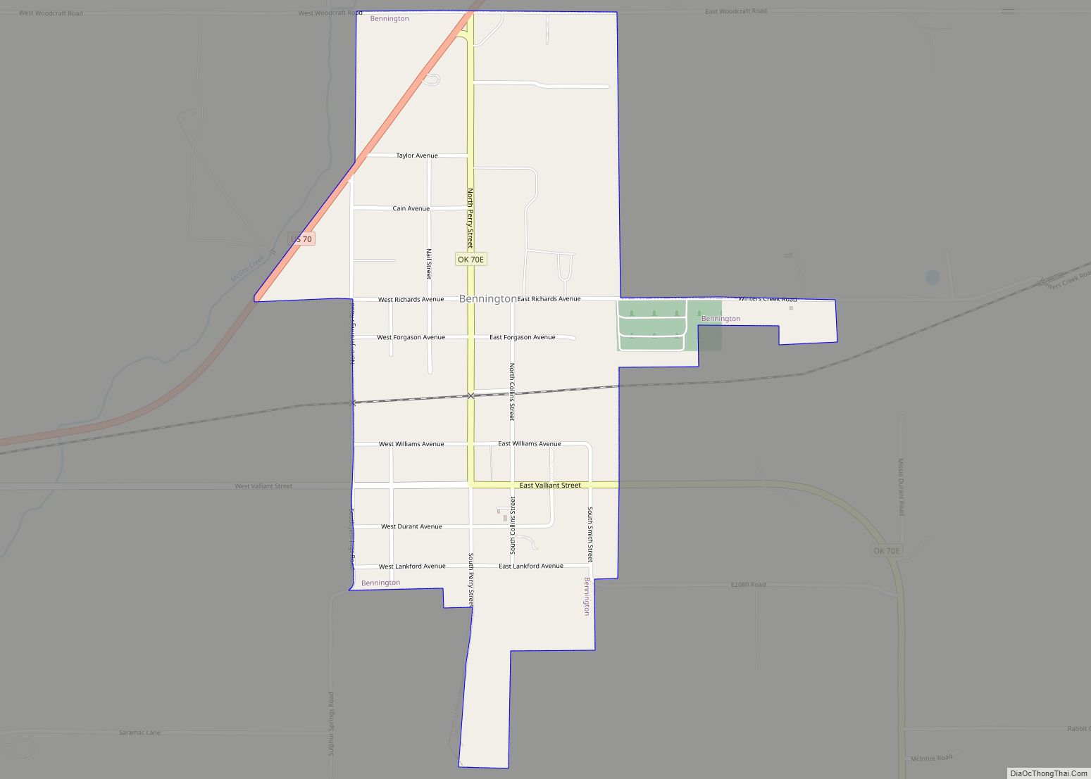
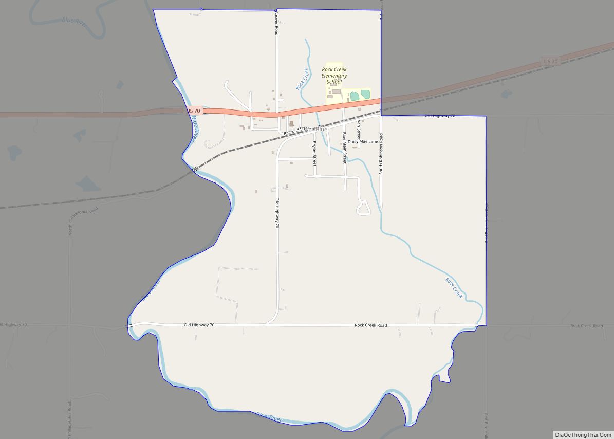
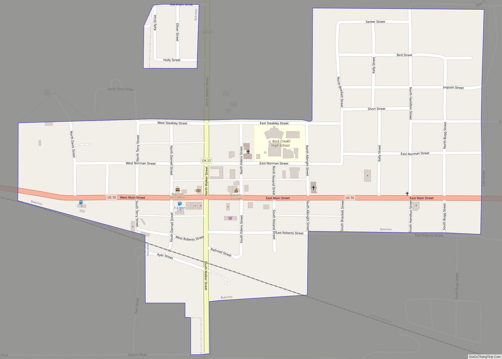
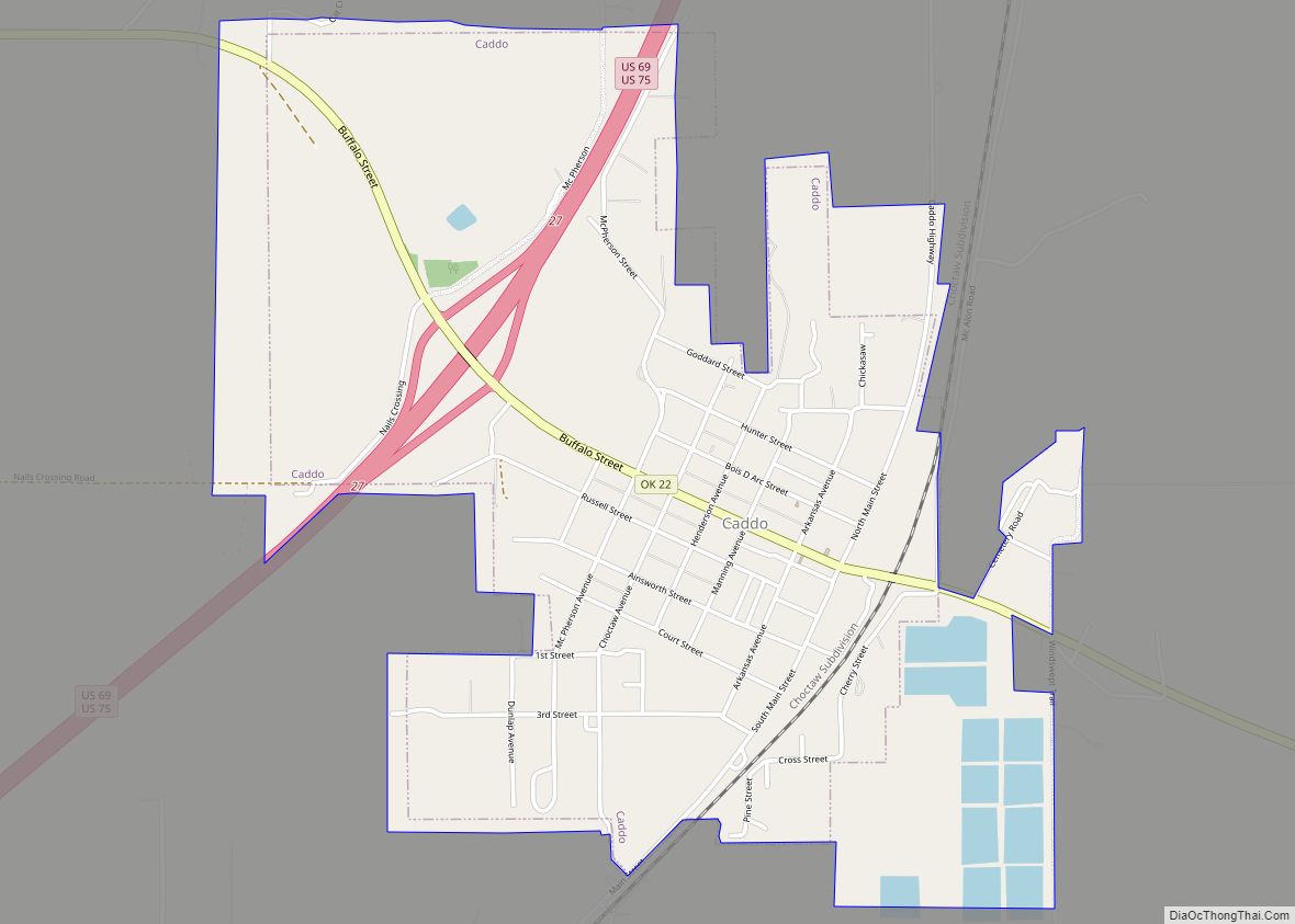
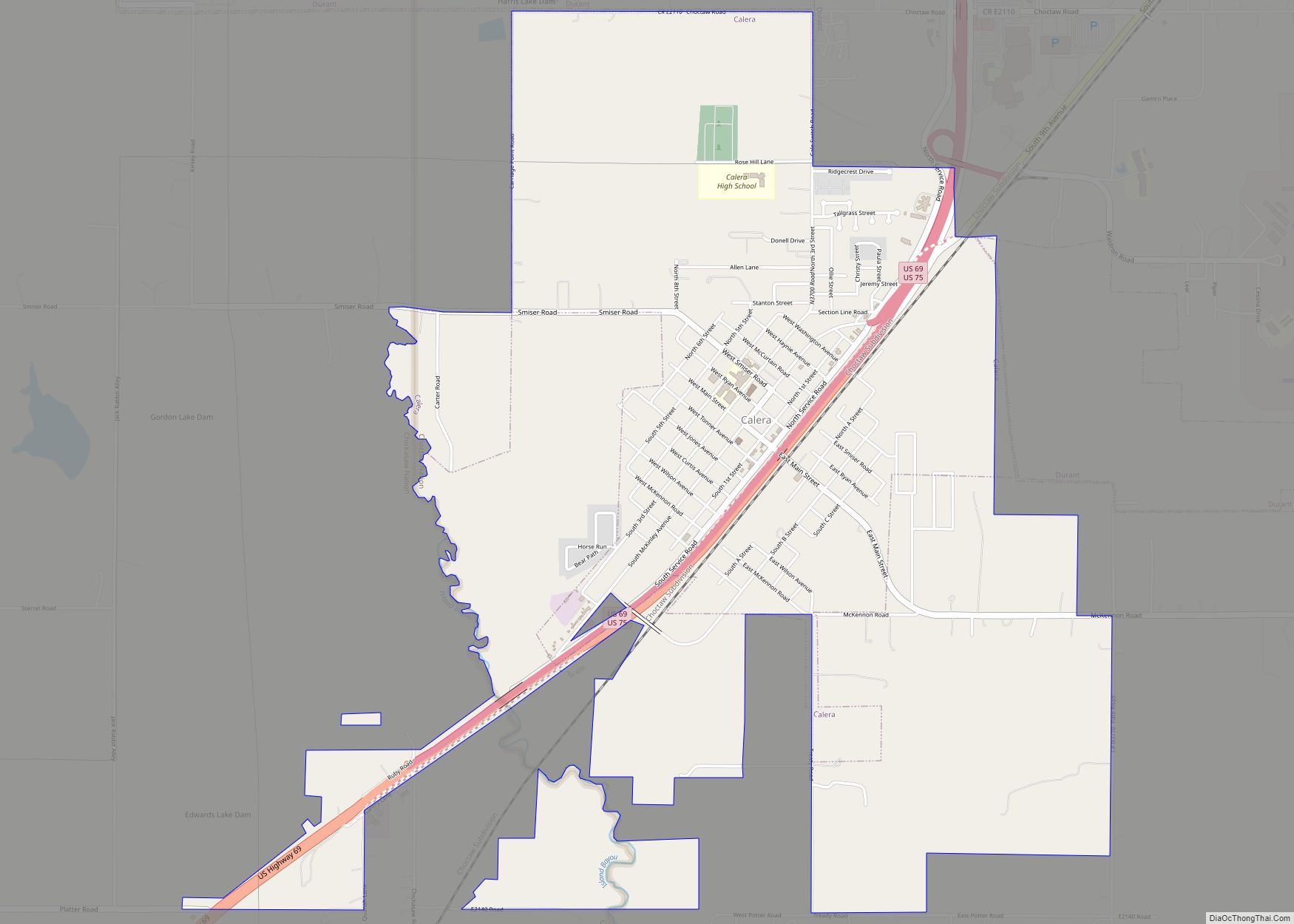
Online Interactive Map
Click on ![]() to view map in "full screen" mode.
to view map in "full screen" mode.
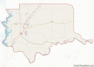
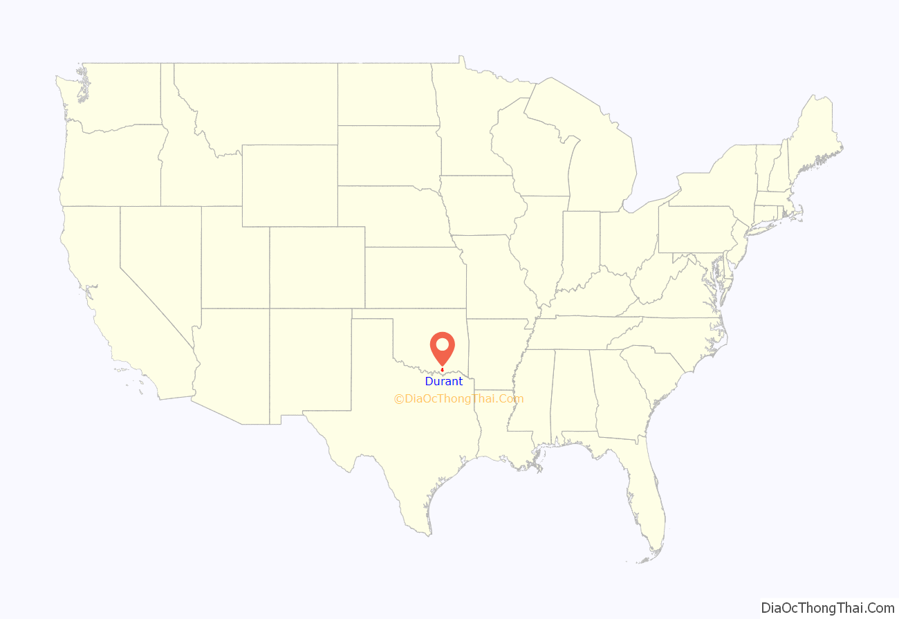
Durant location map. Where is Durant city?
History
The Durant area was once claimed by both Spain and France before officially becoming part of the United States after the Louisiana Purchase and Adams–Onís Treaty. During the 1820s and 1830s the area was designated as part of the Choctaw Nation in the southern Indian Territory. During the Indian removals the Choctaws followed the Choctaw Trail of Tears from their ancestral homeland in Mississippi and Alabama into this area. The Choctaw Nation originally extended from the Mexican border in the west (now part of the Texas panhandle) to the Arkansas Territory in the east, from the Red River in the south to the South Canadian River in the north. In 1855, the Choctaw and Chickasaws formally divided their land into two separate nations, with Durant remaining in Choctaw territory on the east. Chickasaw land extended west to the boundary that would divide Indian Territory from Oklahoma Territory after passage of the Oklahoma Organic Act in 1890.
Pierre Durant and his four sons, all of French-Choctaw origin, made the journey up the Trail of Tears on the way to the southeastern part of the Choctaw Nation in 1832. The brothers, grown, with families of their own, established homesteads from the Arkansas line to Durant. One son, Fisher, married to a full-blood Choctaw, found a beautiful location for a home between Durant’s present Eighth and Ninth avenues. At the time of Durant’s founding it was located in Blue County, a part of the Pushmataha District of the Choctaw Nation.
Fisher Durant’s son Dixon Durant is recognized as the founder of Durant and is honored as its namesake. A minister, businessman and civic leader, Dixon Durant is credited with pastorates in local Presbyterian, Congregational and Methodist churches. He established the first store selling general merchandise in 1873, around the time of the 1872 creation of the Missouri–Kansas–Texas Railroad (Katy Railroad) siding at Durant, which was the initial impetus for establishing the community.
The Missouri-Kansas and Texas Railway (also known as the MKT or “Katy”) had already laid a line through the area that would become Durant by November 1882. A wheelless boxcar was parked on the siding there and named “Durant Station”. Dixon Durant erected the first building, adjacent to the boxcar, where he opened a general store in 1873. The first post office, also named as Durant Station, Indian Territory, opened February 20, 1879, but closed on July 11, 1881. A.E. Fulsom was postmaster. The U.S. Postal Service re-established the post office at the site as Durant on March 8, 1882, dropping the word “station” from the name. Beginning in 1882, the area was simply called Durant.
W.H. Hilton was elected the first mayor of Durant.
A memorable event in Durant’s rail history occurred on April 5, 1905. A special southbound Katy train stopped in the city with President Theodore Roosevelt aboard.
In 1895, a fire destroyed the original business district, which had spread along the Katy tracks.
Calvin Institute was opened in 1894, representing the first institute of higher education in the immediate area, which was an outgrowth of Presbyterian mission work among the Choctaw Indian nation. Its success led it being reopened as a larger school, Durant Presbyterian College in 1901, later renamed as Oklahoma Presbyterian College. After statehood became effective on November 16, 1907, the state legislature created the Southeastern State Normal School at Durant, which opened March 6, 1909. This school was renamed Southeastern State Teachers College in 1921, and renamed again in 1974 as the present Southeastern Oklahoma State University.
Further growth of the town was inhibited by its proximity to the larger town of Caddo (also on the Katy line) and the fact that Dixon Durant did not want to sell more of the land he had inherited to non-Indians. In the 1902-1903 timeframe, the St. Louis, San Francisco and New Orleans Railroad, an affiliate of the St. Louis and San Francisco Railway (also known as “SL&SF” or “Frisco”) had intended to build an east–west line through Caddo, where it would intersect the Katy; however, the land prices near Caddo had increased rapidly, causing the Frisco to bypass Caddo in favor of Durant.
In 1904, Durant was named in a grand jury instruction as a sundown town where a notice had been posted warning African Americans not to stay after dark.
The Oklahoma Constitutional Convention selected Durant as the county seat for Bryan County, Oklahoma, which would supersede Blue County at statehood. In 1908, a special election ratified this choice over three other candidates for the honor: Bokchito, Blue, and Sterrett (later renamed Calera).
Bryan County was created from Choctaw lands in 1907, the same time as statehood, and was named after William Jennings Bryan. Bryan was nominated three times for President of the United States and at the age of 36 lost to William McKinley. He lost to McKinley again in 1900, and to William H. Taft in 1908. Woodrow Wilson appointed the county’s namesake as United States Secretary of State in 1913.
Eleven people were killed in Durant by a tornado in April 1919.
The town’s population grew from 2,969 in 1900 to 5,330 in 1910, 12,823 in 1990, and to 13,549 in 2000.
The Durant Downtown Historic District is listed on the National Register of Historic Places.
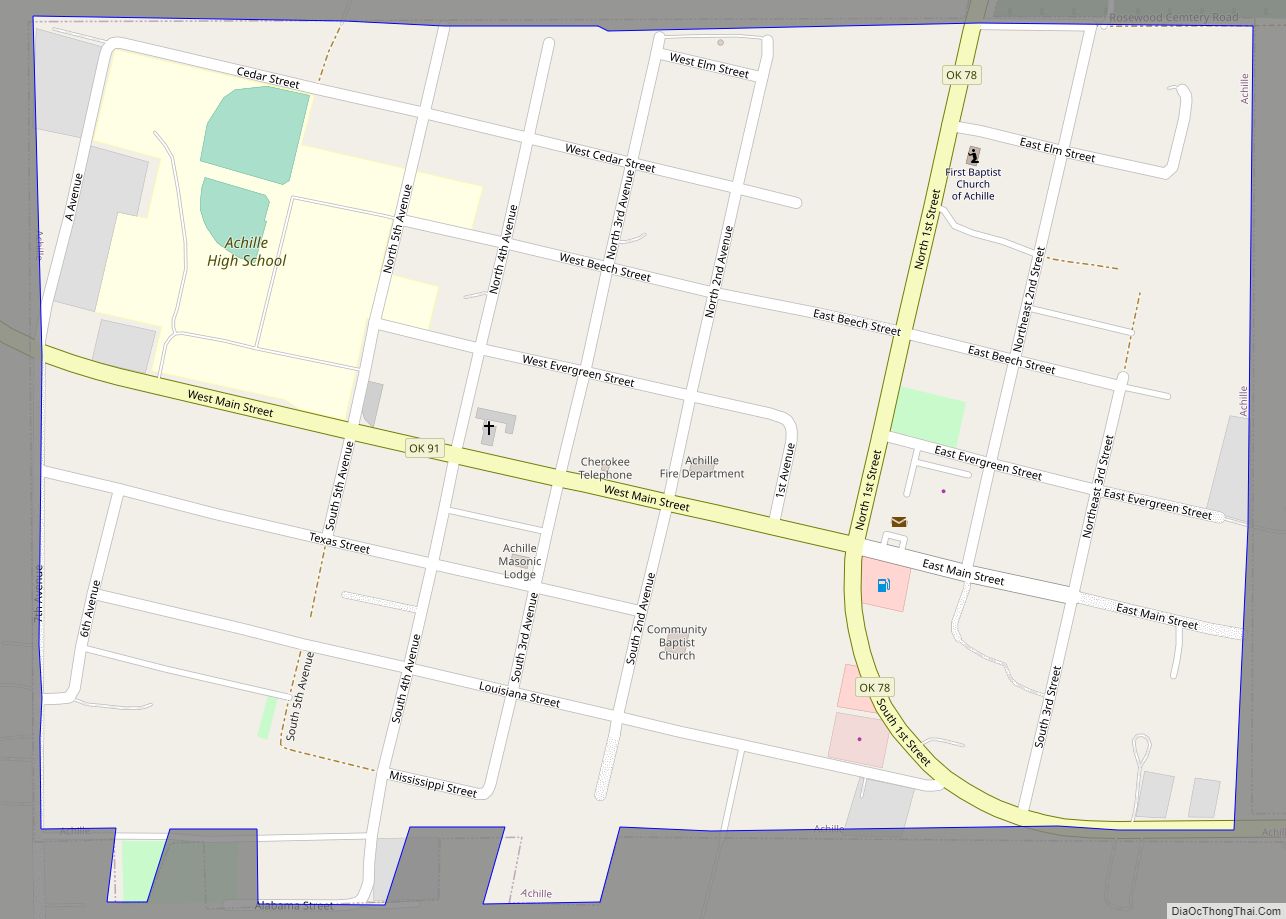
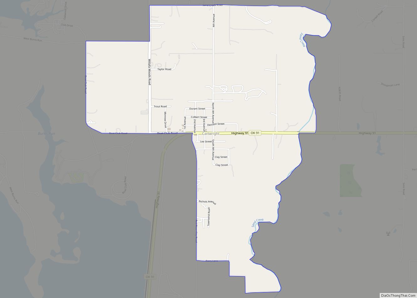
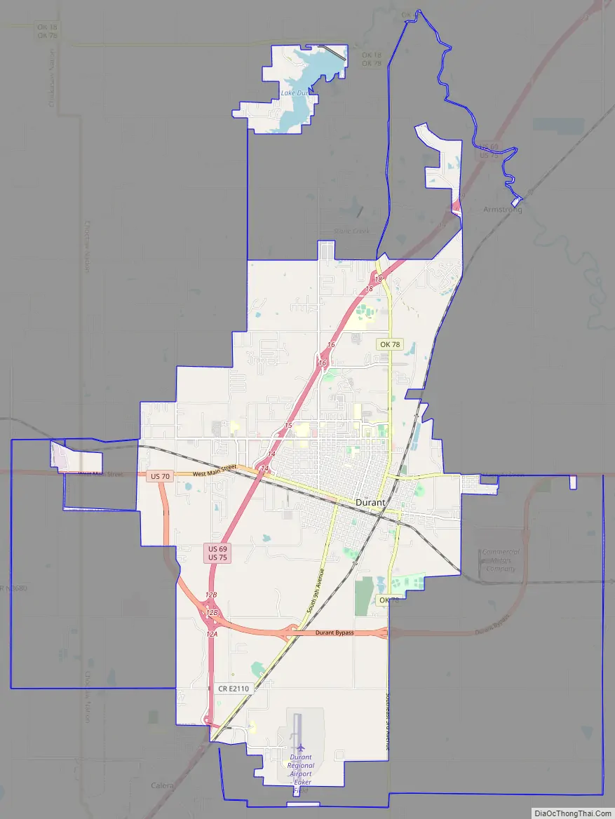
Durant Road Map
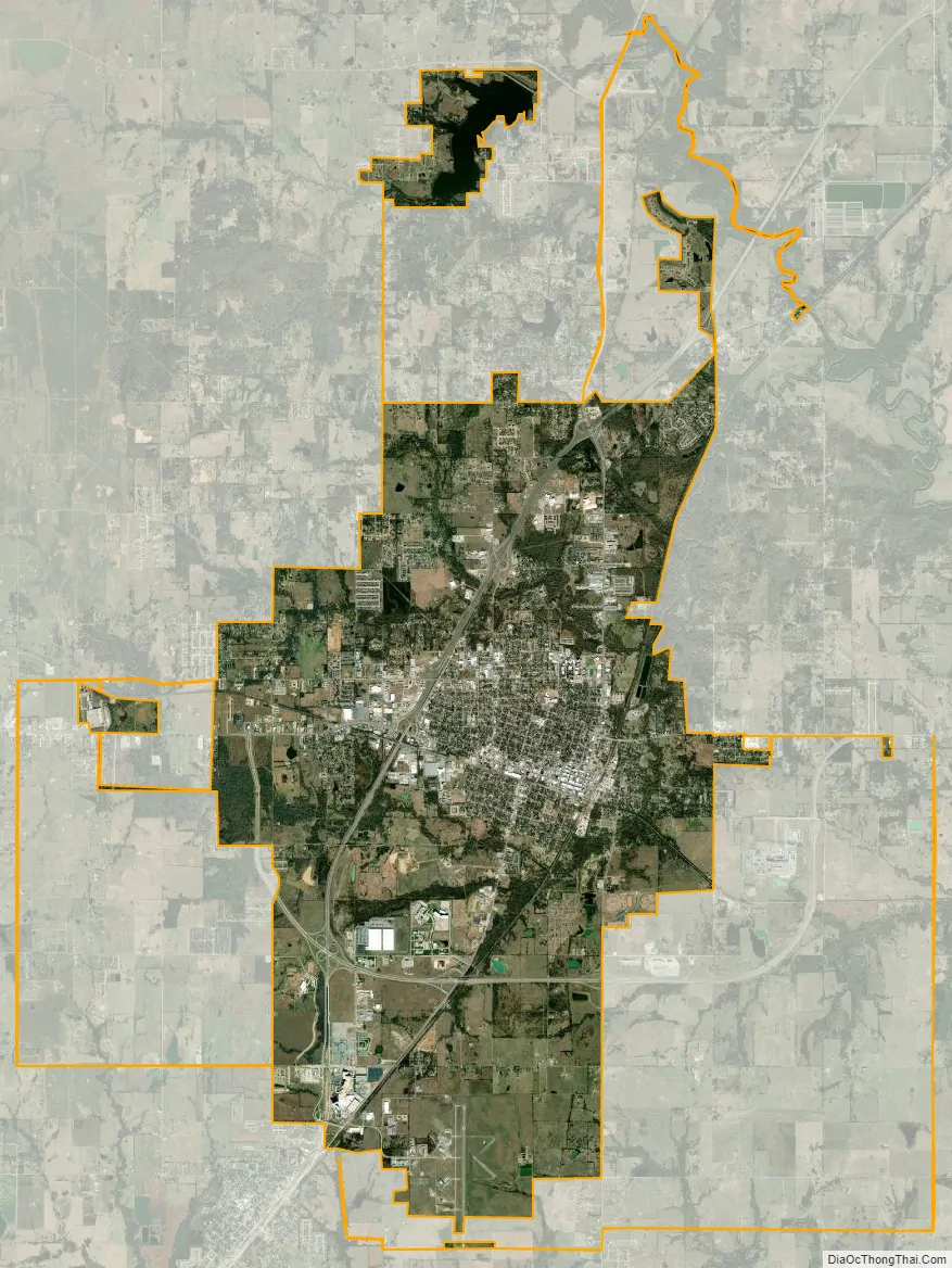
Durant city Satellite Map
Geography
Durant is located in southeast Oklahoma, in a region named Texoma, or Texomaland, because of its short distance from Lake Texoma. The city is also part of Choctaw Country, formerly Kiamichi Country. Its geographic coordinates are 33°59′59″N 96°23′5″W / 33.99972°N 96.38472°W / 33.99972; -96.38472 (33.999834, −96.384825). It is approximately 14 miles (23 km) north of the Texas border at the Red River. Dallas is about 88 miles (142 km) south of Durant. The north edge of the Dallas–Fort Worth metroplex, in McKinney, is about 58 miles (93 km) to the south.
According to the United States Census Bureau, the city of Durant has a total area of 26.8 square miles (69.3 km), of which 26.7 square miles (69.2 km) is land and 0.077 square miles (0.2 km), or 0.24%, is water.
Climate
See also
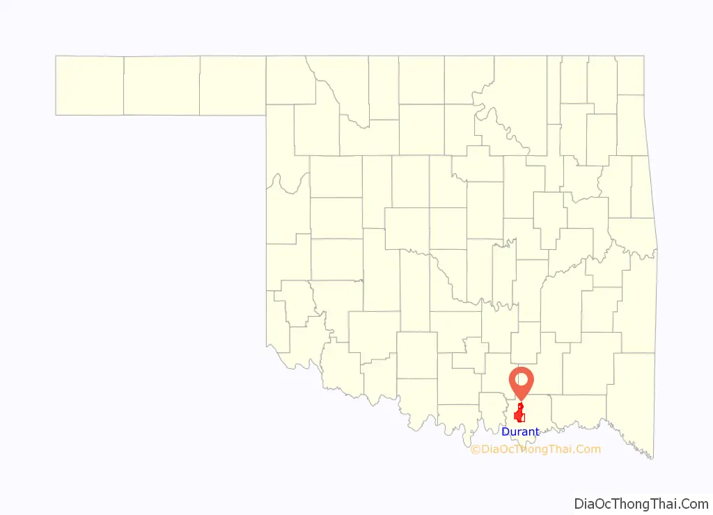
Map of Oklahoma State and its subdivision:- Adair
- Alfalfa
- Atoka
- Beaver
- Beckham
- Blaine
- Bryan
- Caddo
- Canadian
- Carter
- Cherokee
- Choctaw
- Cimarron
- Cleveland
- Coal
- Comanche
- Cotton
- Craig
- Creek
- Custer
- Delaware
- Dewey
- Ellis
- Garfield
- Garvin
- Grady
- Grant
- Greer
- Harmon
- Harper
- Haskell
- Hughes
- Jackson
- Jefferson
- Johnston
- Kay
- Kingfisher
- Kiowa
- Latimer
- Le Flore
- Lincoln
- Logan
- Love
- Major
- Marshall
- Mayes
- McClain
- McCurtain
- McIntosh
- Murray
- Muskogee
- Noble
- Nowata
- Okfuskee
- Oklahoma
- Okmulgee
- Osage
- Ottawa
- Pawnee
- Payne
- Pittsburg
- Pontotoc
- Pottawatomie
- Pushmataha
- Roger Mills
- Rogers
- Seminole
- Sequoyah
- Stephens
- Texas
- Tillman
- Tulsa
- Wagoner
- Washington
- Washita
- Woods
- Woodward
- Alabama
- Alaska
- Arizona
- Arkansas
- California
- Colorado
- Connecticut
- Delaware
- District of Columbia
- Florida
- Georgia
- Hawaii
- Idaho
- Illinois
- Indiana
- Iowa
- Kansas
- Kentucky
- Louisiana
- Maine
- Maryland
- Massachusetts
- Michigan
- Minnesota
- Mississippi
- Missouri
- Montana
- Nebraska
- Nevada
- New Hampshire
- New Jersey
- New Mexico
- New York
- North Carolina
- North Dakota
- Ohio
- Oklahoma
- Oregon
- Pennsylvania
- Rhode Island
- South Carolina
- South Dakota
- Tennessee
- Texas
- Utah
- Vermont
- Virginia
- Washington
- West Virginia
- Wisconsin
- Wyoming