Clayton is a town in northern Pushmataha County, Oklahoma, United States. The population was 821 at the 2010 census.
| Name: | Clayton town |
|---|---|
| LSAD Code: | 43 |
| LSAD Description: | town (suffix) |
| State: | Oklahoma |
| County: | Pushmataha County |
| Elevation: | 607 ft (185 m) |
| Total Area: | 1.70 sq mi (4.41 km²) |
| Land Area: | 1.68 sq mi (4.35 km²) |
| Water Area: | 0.02 sq mi (0.06 km²) |
| Total Population: | 555 |
| Population Density: | 330.36/sq mi (127.54/km²) |
| ZIP code: | 74536 |
| Area code: | 539/918 |
| FIPS code: | 4014900 |
| GNISfeature ID: | 1091403 |
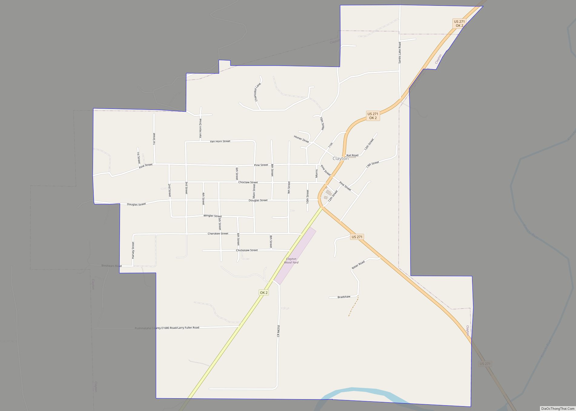
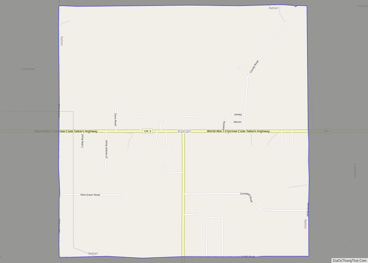
Online Interactive Map
Click on ![]() to view map in "full screen" mode.
to view map in "full screen" mode.
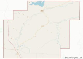
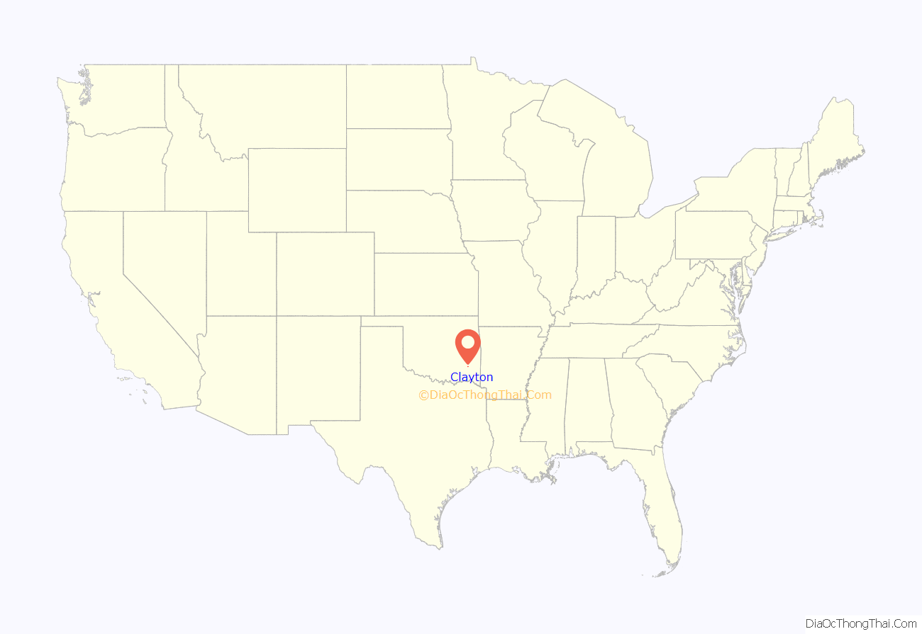
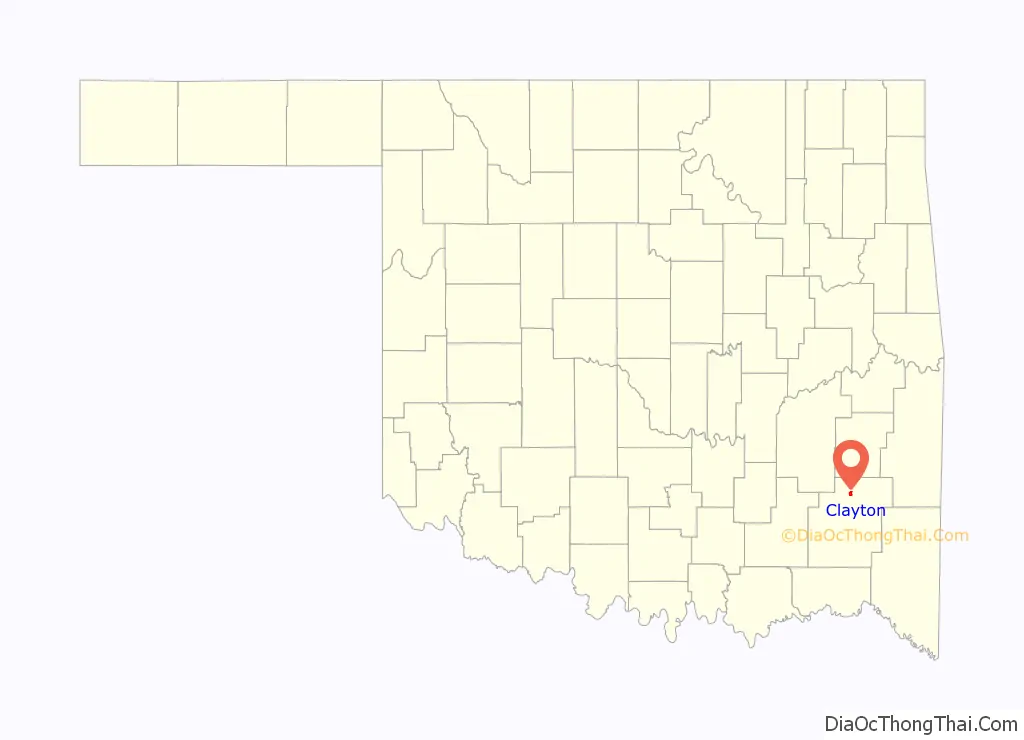
Clayton location map. Where is Clayton town?
History
Clayton was formerly known as Dexter. A United States Post Office was established at Dexter, Indian Territory on March 31, 1894 and was named for Dexter Chapman, early-day resident.
Dexter was located in Wade County, Choctaw Nation.
The official name of the post office name changed to Clayton, Indian Territory on April 5, 1907. Its name is thought to have been derived from Clayton, Missouri. It is also possible the town renamed itself after William H.H. Clayton, judge of the U.S. Court for the Central District of Indian Territory. Judge Clayton was prominent in the role to gain Oklahoma’s statehood.
Clayton is the largest town or community in northern Pushmataha County. It is the region’s largest trading center due to its relative distance from the county seat of Antlers—36 miles.
Flagpole Mountain retains a fire tower. Built of metal and several stories tall, it was once part of a network of towers, all staffed, from which a fire watch was maintained. It is the only tower remaining in Pushmataha County, although it is no longer operational. Views from the tower offer a panorama stretching for many miles in any direction.
Clayton, as regional trading center, remains economically healthy, with a locally based economy. It is currently home to a public school, several churches, and numerous businesses and homes.
During recent years the Clayton High School has become recognized as an architecturally and historically significant building, and has been added to the NRHP. The building was found to be a very unusual example of WPA architecture—one of only two known single-use auditoriums constructed by the WPA.
On February 13, 2015, approximately 5% of the town population was arrested in a methamphetamine drug sweep.
More information on the history of Clayton may be found in the Pushmataha County Historical Society.
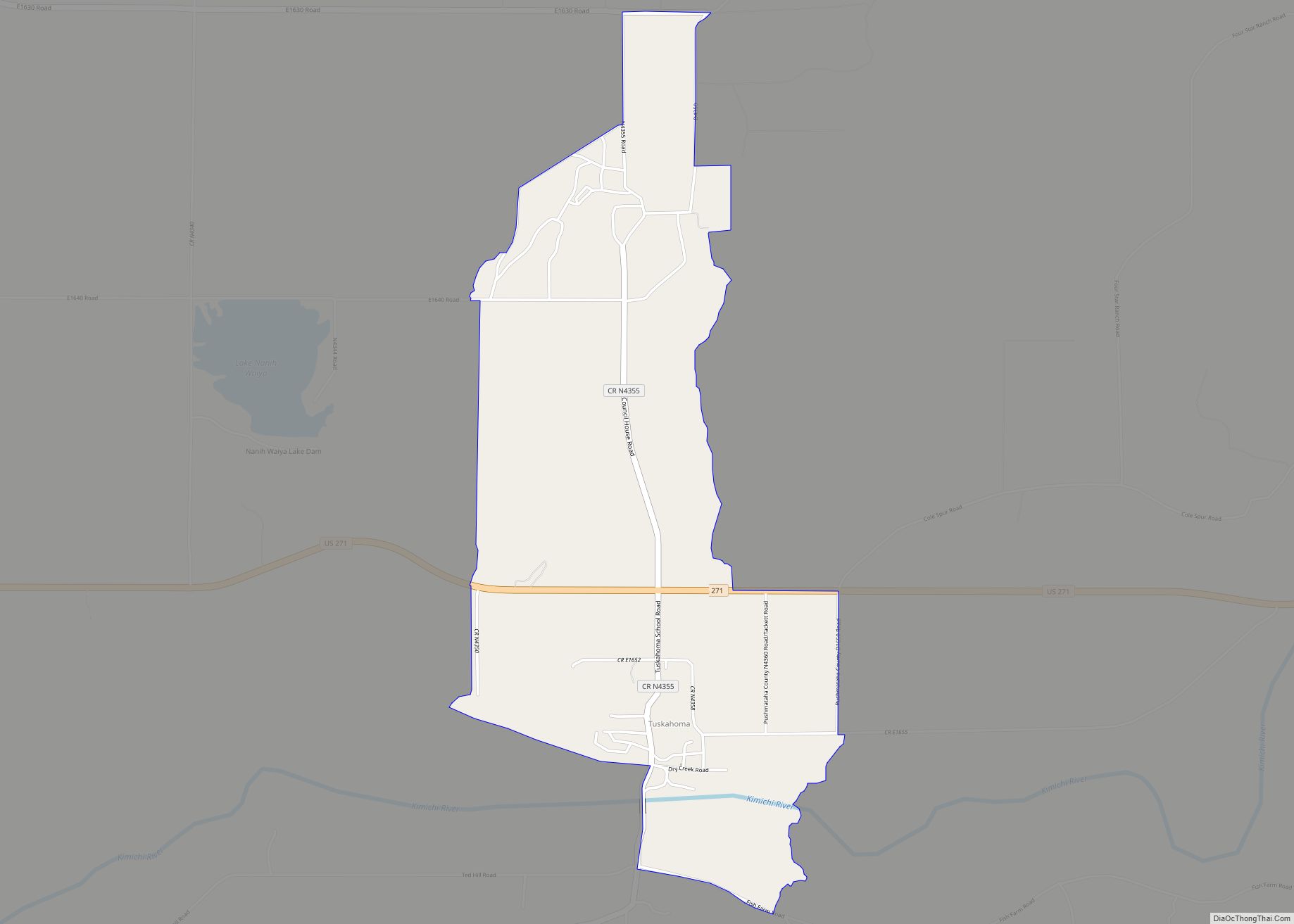
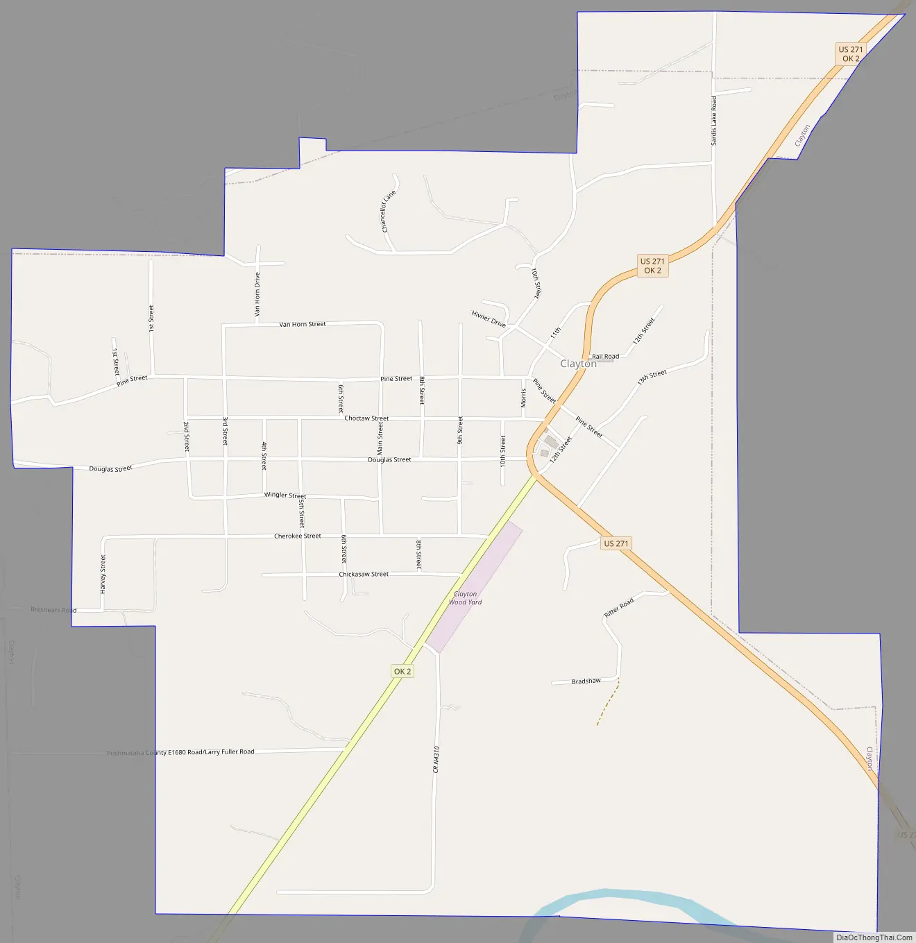
Clayton Road Map
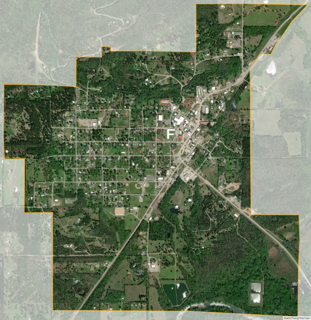
Clayton city Satellite Map
Geography
Clayton is located at 34°35′16″N 95°21′25″W / 34.58778°N 95.35694°W / 34.58778; -95.35694 (34.587698, -95.357077). According to the United States Census Bureau, the town has a total area of 1.7 square miles (4.4 km), of which 1.7 square miles (4.4 km) is land and 0.58% is water.
Using the Public Land Survey System in use in Oklahoma the community is located in T6-1N-R19E.
Clayton, located in the Kiamichi River valley, is framed on its west by Flagpole Mountain (1,562 ft.) and to its east by unnamed mountains topping 1,600 feet in elevation. Within a few miles of Clayton is scenic McKinley Rocks, a collection of massive boulders strewn across a mountain top. South of Clayton is Clayton Lake State Park—which is surrounded by a pine tree forest—and northwest of town is Sardis Lake, a U.S. Army Corps of Engineers dam which impounds the water of Jack’s Fork Creek. The Pushmataha Wildlife Refuge is also nearby, featuring scenic views from its mountain summit.
See also
Map of Oklahoma State and its subdivision:- Adair
- Alfalfa
- Atoka
- Beaver
- Beckham
- Blaine
- Bryan
- Caddo
- Canadian
- Carter
- Cherokee
- Choctaw
- Cimarron
- Cleveland
- Coal
- Comanche
- Cotton
- Craig
- Creek
- Custer
- Delaware
- Dewey
- Ellis
- Garfield
- Garvin
- Grady
- Grant
- Greer
- Harmon
- Harper
- Haskell
- Hughes
- Jackson
- Jefferson
- Johnston
- Kay
- Kingfisher
- Kiowa
- Latimer
- Le Flore
- Lincoln
- Logan
- Love
- Major
- Marshall
- Mayes
- McClain
- McCurtain
- McIntosh
- Murray
- Muskogee
- Noble
- Nowata
- Okfuskee
- Oklahoma
- Okmulgee
- Osage
- Ottawa
- Pawnee
- Payne
- Pittsburg
- Pontotoc
- Pottawatomie
- Pushmataha
- Roger Mills
- Rogers
- Seminole
- Sequoyah
- Stephens
- Texas
- Tillman
- Tulsa
- Wagoner
- Washington
- Washita
- Woods
- Woodward
- Alabama
- Alaska
- Arizona
- Arkansas
- California
- Colorado
- Connecticut
- Delaware
- District of Columbia
- Florida
- Georgia
- Hawaii
- Idaho
- Illinois
- Indiana
- Iowa
- Kansas
- Kentucky
- Louisiana
- Maine
- Maryland
- Massachusetts
- Michigan
- Minnesota
- Mississippi
- Missouri
- Montana
- Nebraska
- Nevada
- New Hampshire
- New Jersey
- New Mexico
- New York
- North Carolina
- North Dakota
- Ohio
- Oklahoma
- Oregon
- Pennsylvania
- Rhode Island
- South Carolina
- South Dakota
- Tennessee
- Texas
- Utah
- Vermont
- Virginia
- Washington
- West Virginia
- Wisconsin
- Wyoming