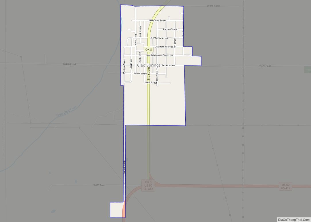
Cleo Springs (originally known as Cleo) is a town in Major County, Oklahoma, United States. The population was 326 at the 2000 census.
| Name: | Cleo Springs town |
|---|---|
| LSAD Code: | 43 |
| LSAD Description: | town (suffix) |
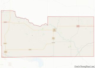
| State: | Oklahoma |
| County: | Major County |
| Elevation: | 1,276 ft (389 m) |
| Total Area: | 0.55 sq mi (1.43 km²) |
| Land Area: | 0.55 sq mi (1.43 km²) |
| Water Area: | 0.00 sq mi (0.00 km²) |
| Total Population: | 287 |
| Population Density: | 518.99/sq mi (200.53/km²) |
| ZIP code: | 73729 |
| Area code: | 580 |
| FIPS code: | 4015300 |
| GNISfeature ID: | 2413213 |
Online Interactive Map
Click on ![]() to view map in "full screen" mode.
to view map in "full screen" mode.
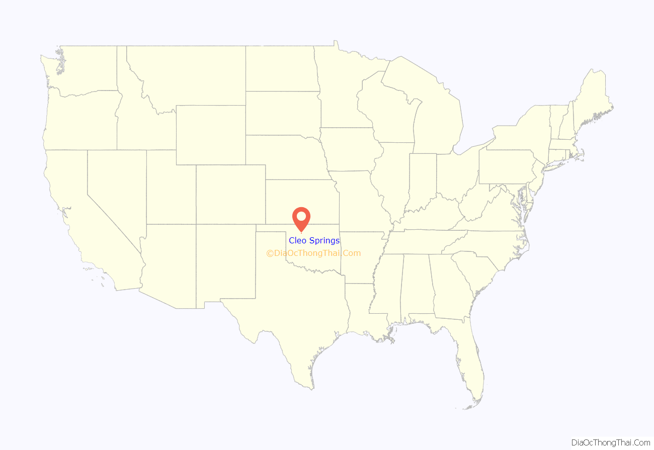
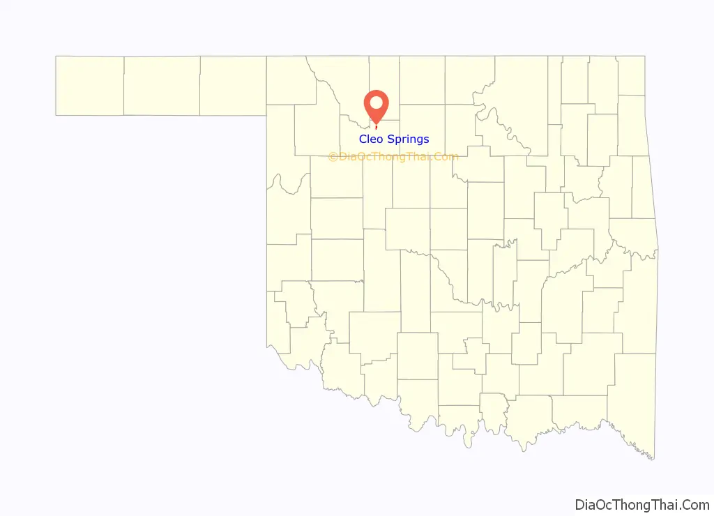
Cleo Springs location map. Where is Cleo Springs town?
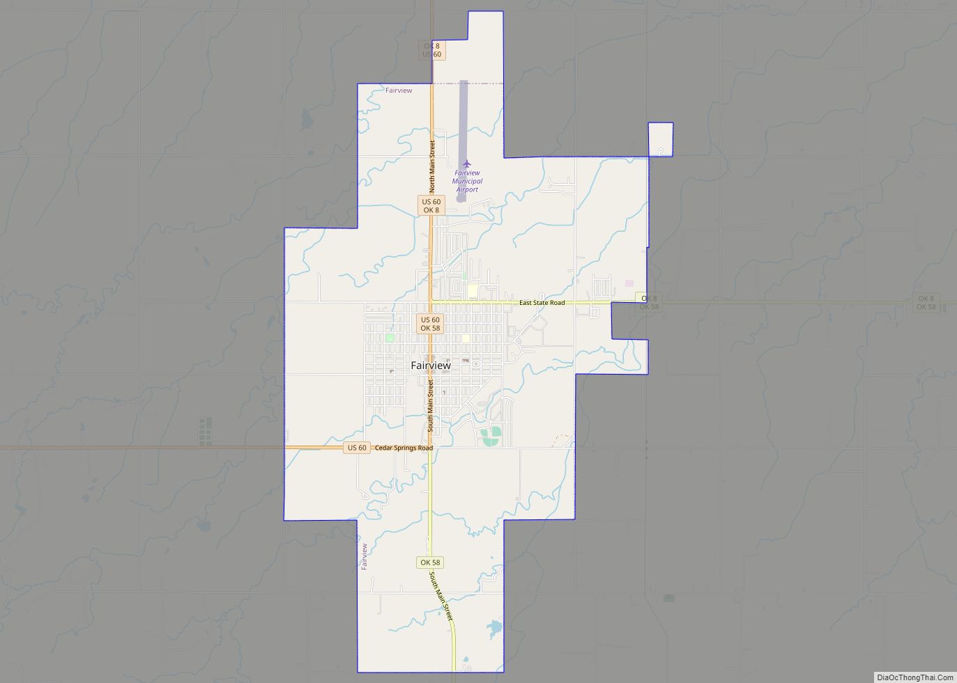
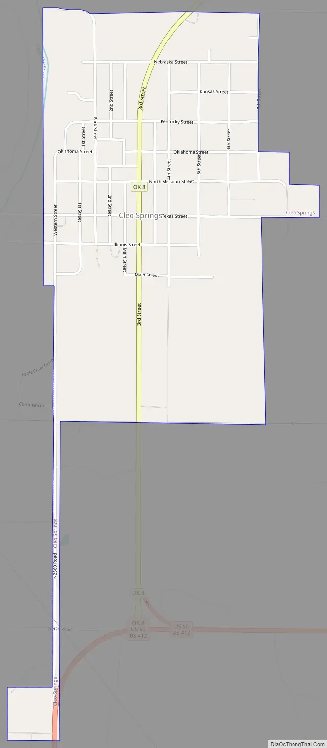
Cleo Springs Road Map
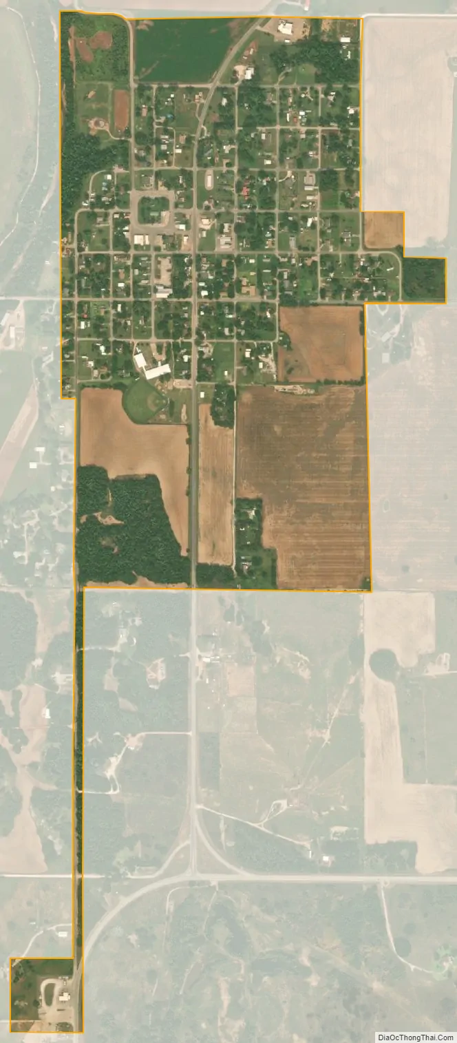
Cleo Springs city Satellite Map
Geography
According to the United States Census Bureau, the town has a total area of 0.6 square miles (1.6 km), all land.
Eagle Chief Creek, which empties into the Cimarron River near Cleo Springs, was known to the Cheyenne people as Maheonekamax.
See also
Map of Oklahoma State and its subdivision:- Adair
- Alfalfa
- Atoka
- Beaver
- Beckham
- Blaine
- Bryan
- Caddo
- Canadian
- Carter
- Cherokee
- Choctaw
- Cimarron
- Cleveland
- Coal
- Comanche
- Cotton
- Craig
- Creek
- Custer
- Delaware
- Dewey
- Ellis
- Garfield
- Garvin
- Grady
- Grant
- Greer
- Harmon
- Harper
- Haskell
- Hughes
- Jackson
- Jefferson
- Johnston
- Kay
- Kingfisher
- Kiowa
- Latimer
- Le Flore
- Lincoln
- Logan
- Love
- Major
- Marshall
- Mayes
- McClain
- McCurtain
- McIntosh
- Murray
- Muskogee
- Noble
- Nowata
- Okfuskee
- Oklahoma
- Okmulgee
- Osage
- Ottawa
- Pawnee
- Payne
- Pittsburg
- Pontotoc
- Pottawatomie
- Pushmataha
- Roger Mills
- Rogers
- Seminole
- Sequoyah
- Stephens
- Texas
- Tillman
- Tulsa
- Wagoner
- Washington
- Washita
- Woods
- Woodward
- Alabama
- Alaska
- Arizona
- Arkansas
- California
- Colorado
- Connecticut
- Delaware
- District of Columbia
- Florida
- Georgia
- Hawaii
- Idaho
- Illinois
- Indiana
- Iowa
- Kansas
- Kentucky
- Louisiana
- Maine
- Maryland
- Massachusetts
- Michigan
- Minnesota
- Mississippi
- Missouri
- Montana
- Nebraska
- Nevada
- New Hampshire
- New Jersey
- New Mexico
- New York
- North Carolina
- North Dakota
- Ohio
- Oklahoma
- Oregon
- Pennsylvania
- Rhode Island
- South Carolina
- South Dakota
- Tennessee
- Texas
- Utah
- Vermont
- Virginia
- Washington
- West Virginia
- Wisconsin
- Wyoming