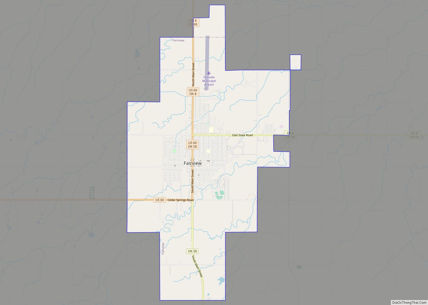
Fairview is a city in Major County, Oklahoma, United States. Its population was 2,579 at the 2010 census. It is the county seat of Major County.
| Name: | Fairview city |
|---|---|
| LSAD Code: | 25 |
| LSAD Description: | city (suffix) |
| State: | Oklahoma |
| County: | Major County |
| Elevation: | 1,296 ft (395 m) |
| Total Area: | 7.17 sq mi (18.57 km²) |
| Land Area: | 7.13 sq mi (18.48 km²) |
| Water Area: | 0.04 sq mi (0.09 km²) |
| Total Population: | 2,740 |
| Population Density: | 384.08/sq mi (148.28/km²) |
| ZIP code: | 73737 |
| Area code: | 580 |
| FIPS code: | 4025100 |
| GNISfeature ID: | 2410477 |
| Website: | www.fairviewok.org |
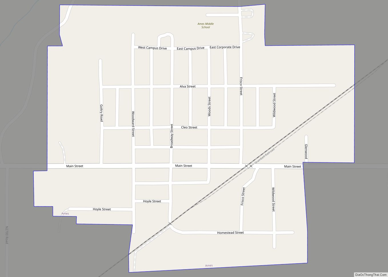
Online Interactive Map
Click on ![]() to view map in "full screen" mode.
to view map in "full screen" mode.
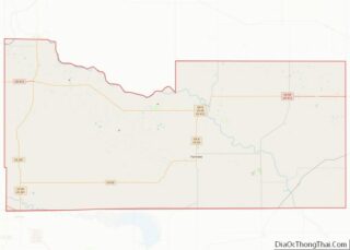
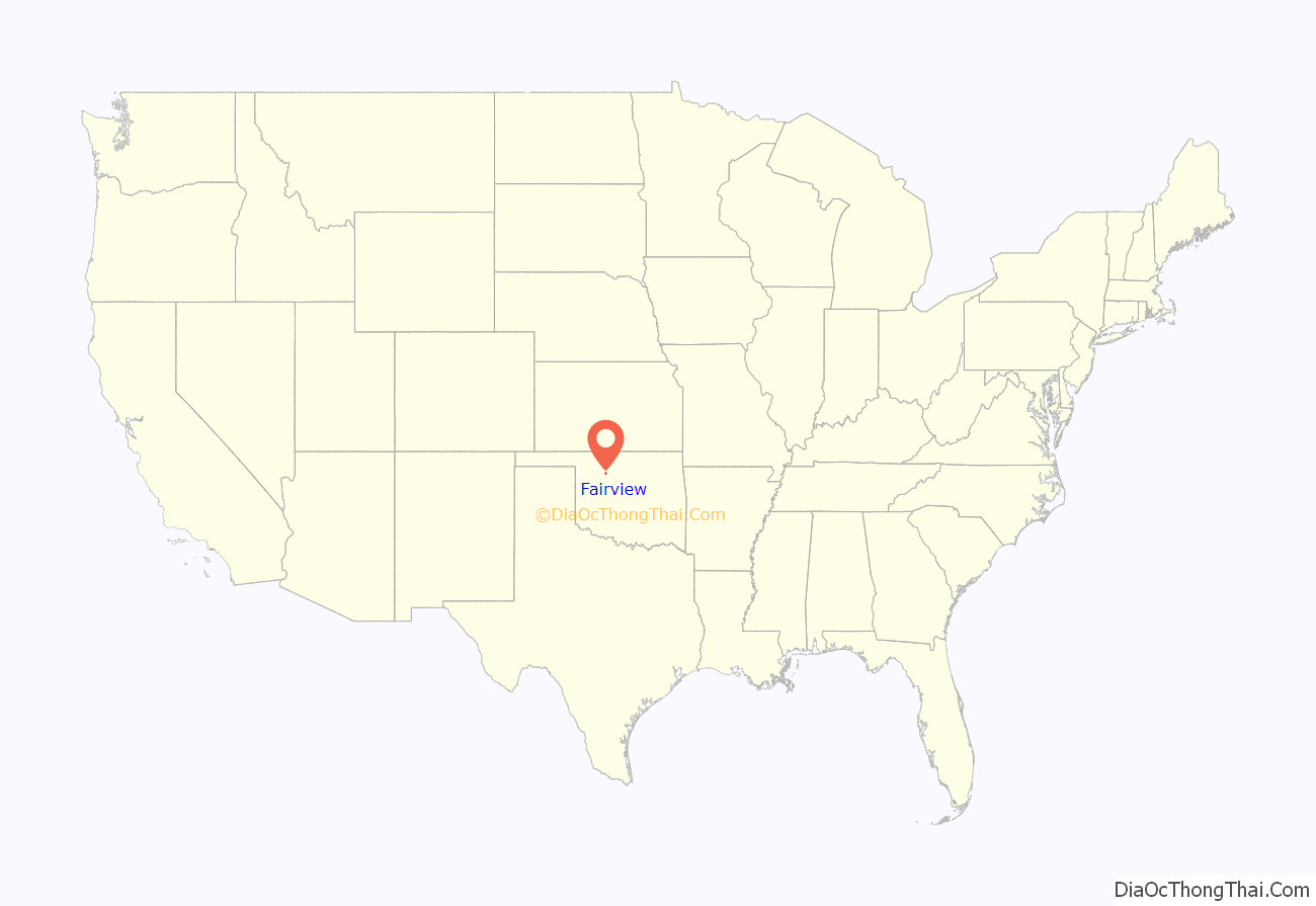
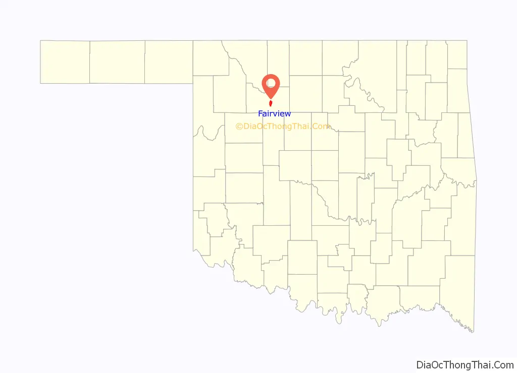
Fairview location map. Where is Fairview city?
History
The first permanent settlers arrived in the area of the present town at the time of the Cherokee Outlet land opening on September 16, 1893. The town received its name from Adam Bower, an early settler, because of its scenic location along the Cimarron River. The Bower family built a wooden building in which they opened a post office on April 18, 1894. One of Adam’s sons, Clifford, served as the first postmaster.
The Kansas City, Mexico and Orient Railway (later part of the Atchison, Topeka and Santa Fe Railroad), built a track through Fairview. The first train arrived on August 20, 1903. The railroad soon established machine shops, a roundhouse, and a division office in the town.
The town site was originally within territorial Woods County, but became part of Major County upon its creation at statehood. It was designated as the county seat of Major County, which became permanent after an election December 22, 1908. It beat three competing communities that vied for the title: Cleo Springs, Orienta, and Ringwood. Fairview had 887 residents at statehood, increasing to 2,020 in 1910.
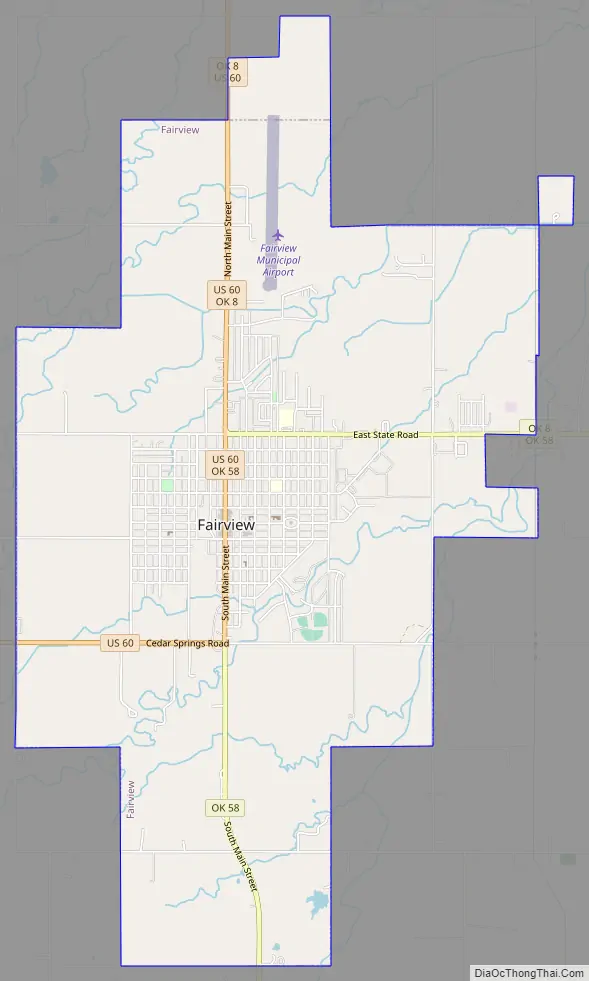
Fairview Road Map
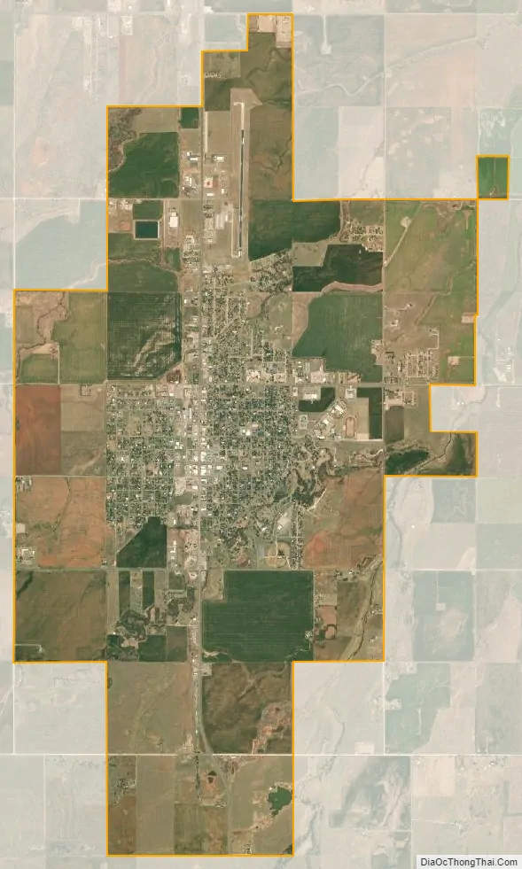
Fairview city Satellite Map
Geography
According to the United States Census Bureau, the city has a total area of 7.0 square miles (18 km), of which 7.0 square miles (18 km) are land and 0.14% is covered by water.
See also
Map of Oklahoma State and its subdivision:- Adair
- Alfalfa
- Atoka
- Beaver
- Beckham
- Blaine
- Bryan
- Caddo
- Canadian
- Carter
- Cherokee
- Choctaw
- Cimarron
- Cleveland
- Coal
- Comanche
- Cotton
- Craig
- Creek
- Custer
- Delaware
- Dewey
- Ellis
- Garfield
- Garvin
- Grady
- Grant
- Greer
- Harmon
- Harper
- Haskell
- Hughes
- Jackson
- Jefferson
- Johnston
- Kay
- Kingfisher
- Kiowa
- Latimer
- Le Flore
- Lincoln
- Logan
- Love
- Major
- Marshall
- Mayes
- McClain
- McCurtain
- McIntosh
- Murray
- Muskogee
- Noble
- Nowata
- Okfuskee
- Oklahoma
- Okmulgee
- Osage
- Ottawa
- Pawnee
- Payne
- Pittsburg
- Pontotoc
- Pottawatomie
- Pushmataha
- Roger Mills
- Rogers
- Seminole
- Sequoyah
- Stephens
- Texas
- Tillman
- Tulsa
- Wagoner
- Washington
- Washita
- Woods
- Woodward
- Alabama
- Alaska
- Arizona
- Arkansas
- California
- Colorado
- Connecticut
- Delaware
- District of Columbia
- Florida
- Georgia
- Hawaii
- Idaho
- Illinois
- Indiana
- Iowa
- Kansas
- Kentucky
- Louisiana
- Maine
- Maryland
- Massachusetts
- Michigan
- Minnesota
- Mississippi
- Missouri
- Montana
- Nebraska
- Nevada
- New Hampshire
- New Jersey
- New Mexico
- New York
- North Carolina
- North Dakota
- Ohio
- Oklahoma
- Oregon
- Pennsylvania
- Rhode Island
- South Carolina
- South Dakota
- Tennessee
- Texas
- Utah
- Vermont
- Virginia
- Washington
- West Virginia
- Wisconsin
- Wyoming