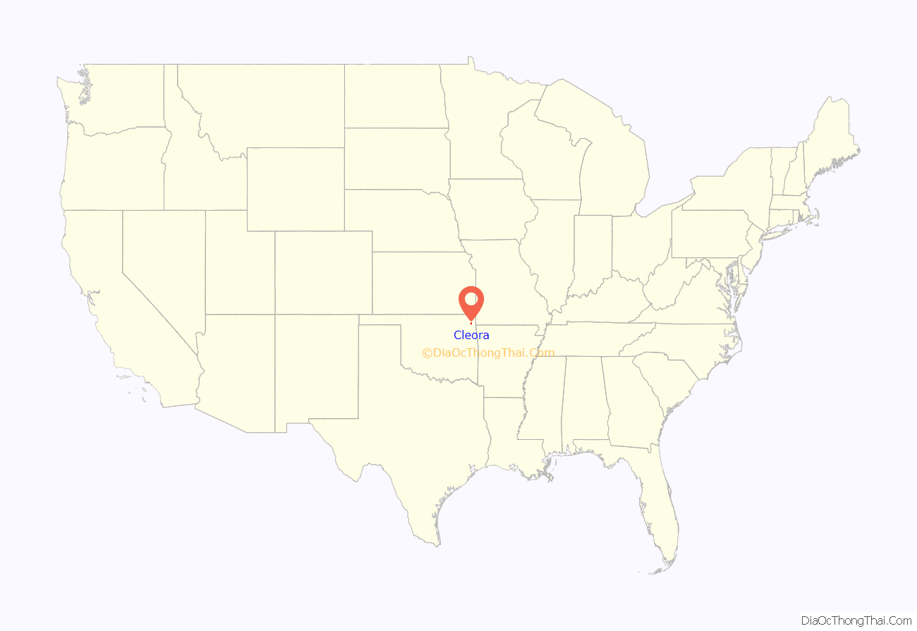
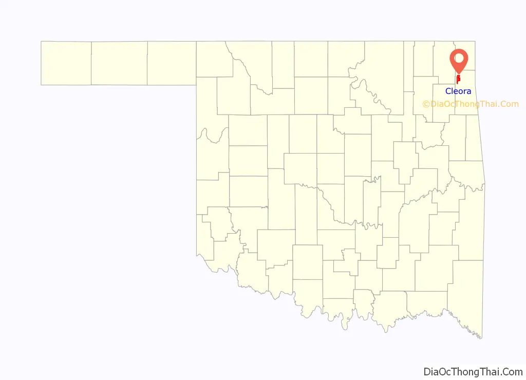
Cleora is an unincorporated community and census-designated place (CDP) in Delaware County, Oklahoma, United States, along State Highway 85. The population was 1,463 at the 2010 census, up from the figure of 1,113 recorded in 2000. The Cleora Post Office existed from November 28, 1900, until October 15, 1954. Cleora was established in District 2 of the old Indian Territory. It was named for Cleora Ann Lunday, sister of the postmaster, Ed Lunday.
| Name: | Cleora CDP |
|---|---|
| LSAD Code: | 57 |
| LSAD Description: | CDP (suffix) |
| State: | Oklahoma |
| County: | Delaware County |
| Elevation: | 797 ft (243 m) |
| Total Area: | 12.17 sq mi (31.53 km²) |
| Land Area: | 11.85 sq mi (30.70 km²) |
| Water Area: | 0.32 sq mi (0.83 km²) |
| Total Population: | 1,220 |
| Population Density: | 102.94/sq mi (39.75/km²) |
| FIPS code: | 4015250 |
| GNISfeature ID: | 1100301 |
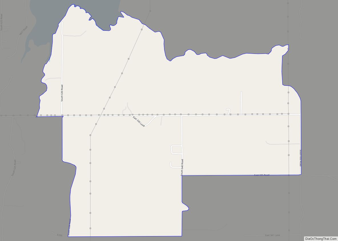
Online Interactive Map
Click on ![]() to view map in "full screen" mode.
to view map in "full screen" mode.
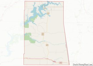
Cleora location map. Where is Cleora CDP?
History
Few dates are available to detail how the community developed. Settlement began circa 1890, before Oklahoma became a state, and was part of the Cherokee Nation of Indian Territory. The main occupation was farming. The rich soil produced wheat, corn and oats. However, the unnamed community was far from any larger settlements. The local residents had to travel to either Afton or Vinita to either shop or get their mail. Local resident, Ed Lunday, soon built a general store, and was then persuaded by the other residents to apply for a post office. He needed to name the post office before submitting his application, and decided to name it for one of his six sisters. The Cleora post office was established in Lunday’s store on November 28, 1900. A school, two churches (Methodist and Christian) and some houses had been built before 1904, when a tornado destroyed the Christian church.
The Kansas, Oklahoma and Gulf Railway (KO&G) built its main line through Cleora in 1910, apparently bringing prosperity in its wake. Sunday’s general store moved into a larger building and Bob Aldrich opened a hardware store. Other businesses were a two-story hotel, lumber company, grain elevator and livery stable.
In 1928, residents decided to consolidate the three small school districts of Old Cleota, New Cleota and Walnut Hill.
When planning began for the Pensacola Dam and the Grand Lake o’ the Cherokees, it was learned that much of the older sites would be inundated by the project. Although some residents moved to higher ground, many others simply moved away.
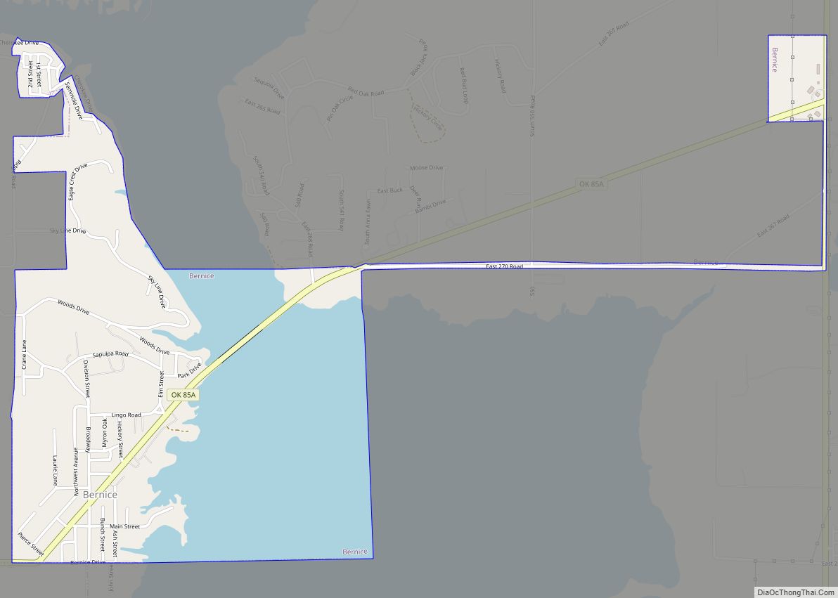
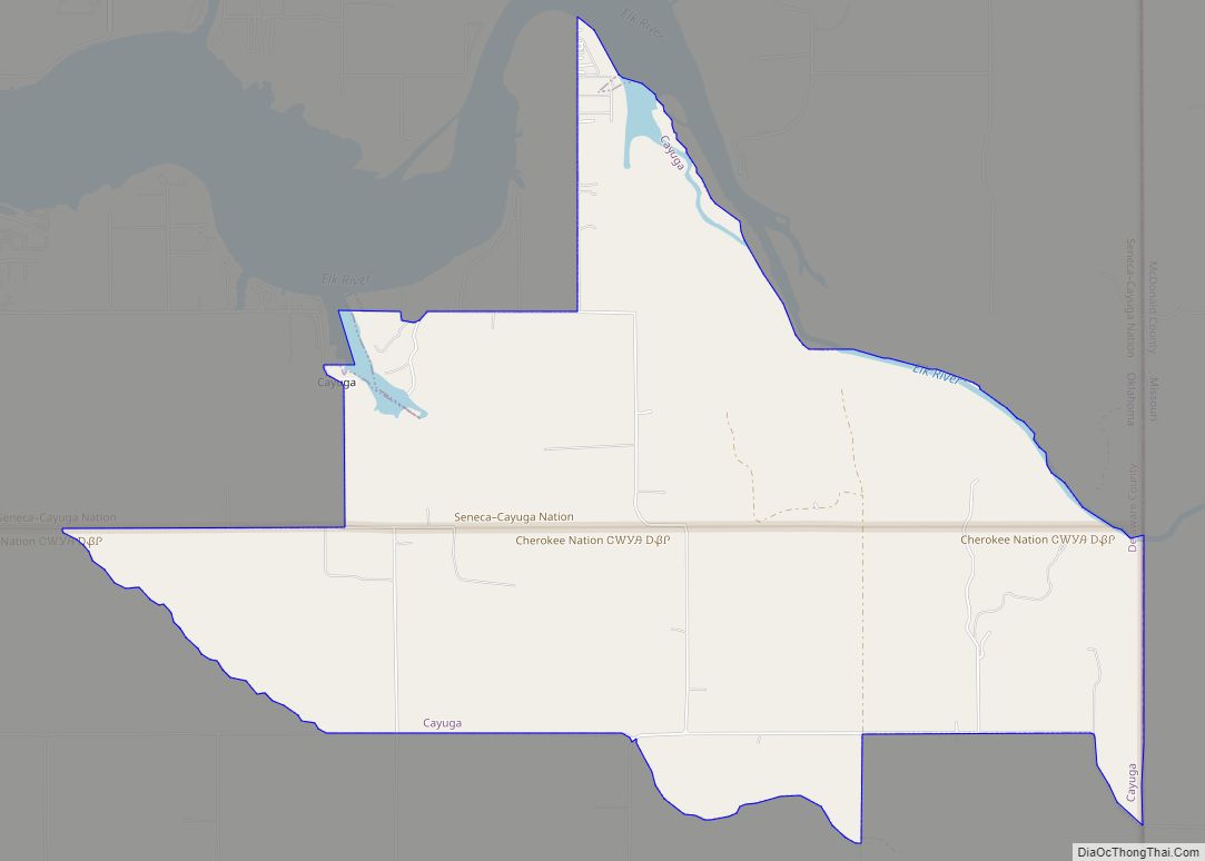
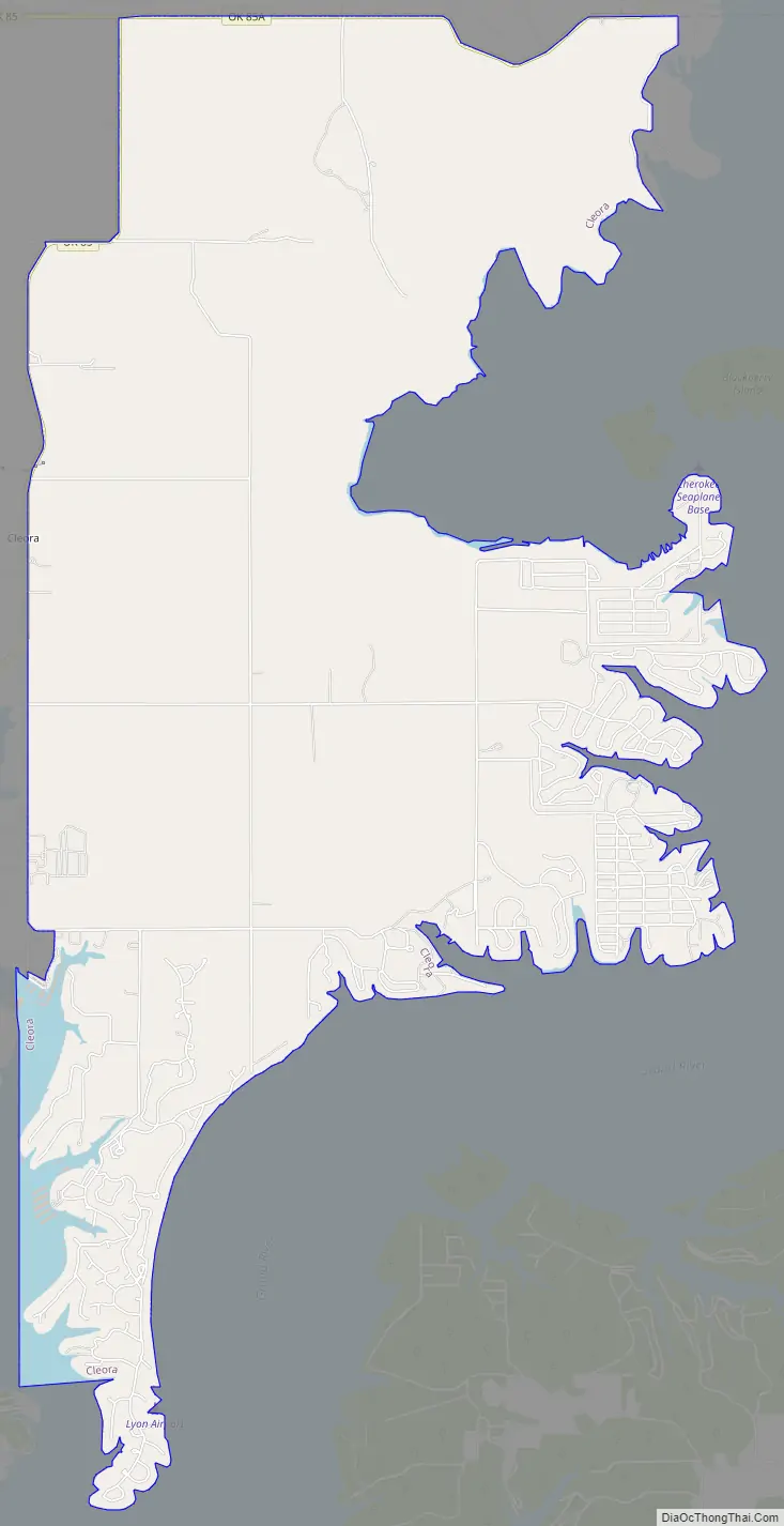
Cleora Road Map
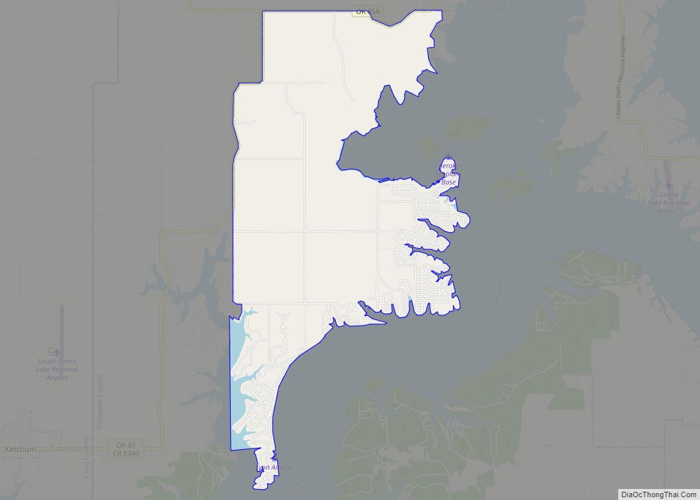
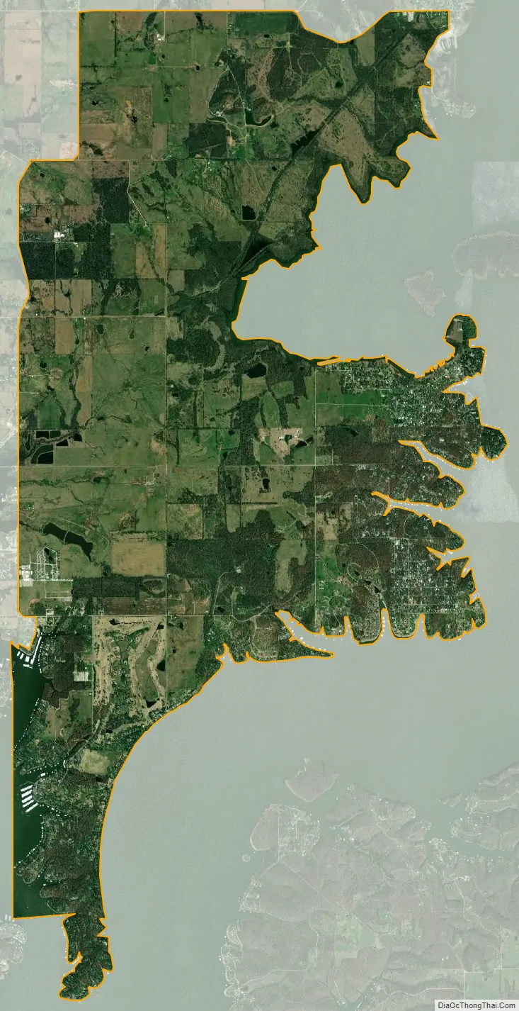
Cleora city Satellite Map
Geography
Cleora is located in northwestern Delaware County at 36°33′28″N 94°55′48″W / 36.55778°N 94.93000°W / 36.55778; -94.93000 (36.557836, -94.929952), on the northwest side of the Grand Lake o’ the Cherokees. It is 5 miles (8 km) southwest of Bernice, 10 miles (16 km) south of Afton, and 14 miles (23 km) southeast of Vinita.
According to the United States Census Bureau, the CDP has a total area of 12.2 square miles (31.5 km), of which 11.9 square miles (30.7 km) is land and 0.31 square miles (0.8 km), or 2.64%, is water.
See also
Map of Oklahoma State and its subdivision:- Adair
- Alfalfa
- Atoka
- Beaver
- Beckham
- Blaine
- Bryan
- Caddo
- Canadian
- Carter
- Cherokee
- Choctaw
- Cimarron
- Cleveland
- Coal
- Comanche
- Cotton
- Craig
- Creek
- Custer
- Delaware
- Dewey
- Ellis
- Garfield
- Garvin
- Grady
- Grant
- Greer
- Harmon
- Harper
- Haskell
- Hughes
- Jackson
- Jefferson
- Johnston
- Kay
- Kingfisher
- Kiowa
- Latimer
- Le Flore
- Lincoln
- Logan
- Love
- Major
- Marshall
- Mayes
- McClain
- McCurtain
- McIntosh
- Murray
- Muskogee
- Noble
- Nowata
- Okfuskee
- Oklahoma
- Okmulgee
- Osage
- Ottawa
- Pawnee
- Payne
- Pittsburg
- Pontotoc
- Pottawatomie
- Pushmataha
- Roger Mills
- Rogers
- Seminole
- Sequoyah
- Stephens
- Texas
- Tillman
- Tulsa
- Wagoner
- Washington
- Washita
- Woods
- Woodward
- Alabama
- Alaska
- Arizona
- Arkansas
- California
- Colorado
- Connecticut
- Delaware
- District of Columbia
- Florida
- Georgia
- Hawaii
- Idaho
- Illinois
- Indiana
- Iowa
- Kansas
- Kentucky
- Louisiana
- Maine
- Maryland
- Massachusetts
- Michigan
- Minnesota
- Mississippi
- Missouri
- Montana
- Nebraska
- Nevada
- New Hampshire
- New Jersey
- New Mexico
- New York
- North Carolina
- North Dakota
- Ohio
- Oklahoma
- Oregon
- Pennsylvania
- Rhode Island
- South Carolina
- South Dakota
- Tennessee
- Texas
- Utah
- Vermont
- Virginia
- Washington
- West Virginia
- Wisconsin
- Wyoming