Colbert is a town in Bryan County, Oklahoma, United States. The population was 1,140 at the 2010 census, a 7 percent increase over the figure of 1,065 recorded in 2000. It was incorporated in 1939.
| Name: | Colbert town |
|---|---|
| LSAD Code: | 43 |
| LSAD Description: | town (suffix) |
| State: | Oklahoma |
| County: | Bryan County |
| Elevation: | 663 ft (202 m) |
| Total Area: | 1.37 sq mi (3.56 km²) |
| Land Area: | 1.36 sq mi (3.52 km²) |
| Water Area: | 0.01 sq mi (0.04 km²) |
| Total Population: | 1,027 |
| Population Density: | 755.15/sq mi (291.50/km²) |
| ZIP code: | 74733 |
| Area code: | 580 |
| FIPS code: | 4016050 |
| GNISfeature ID: | 1091547 |
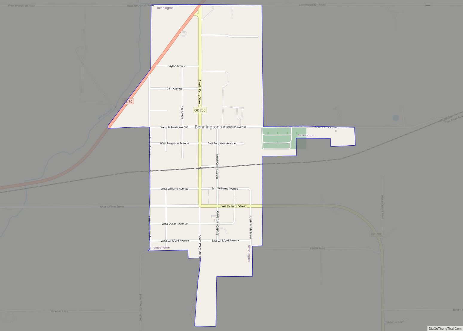
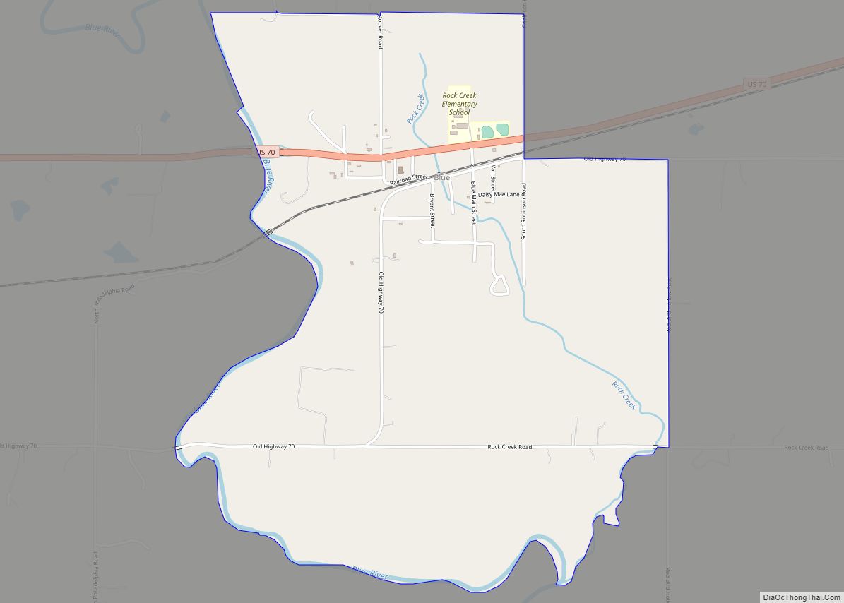
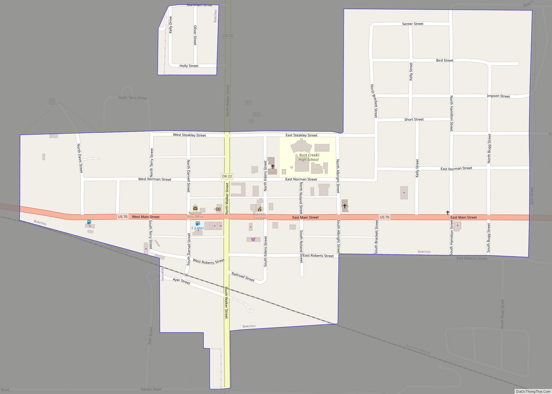
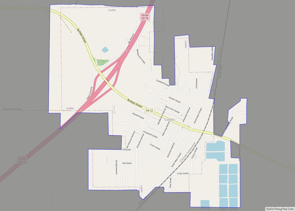
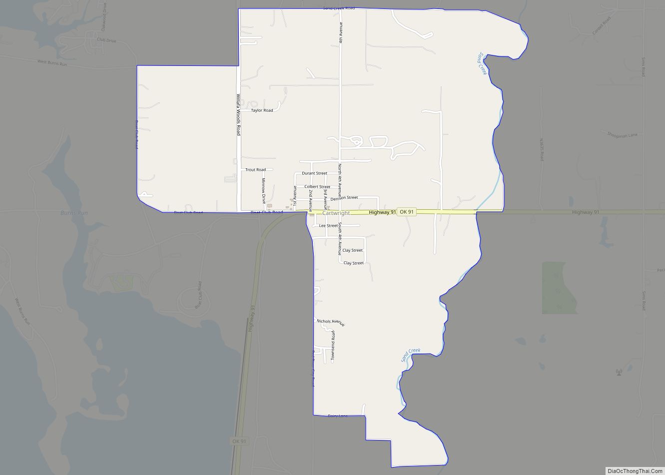
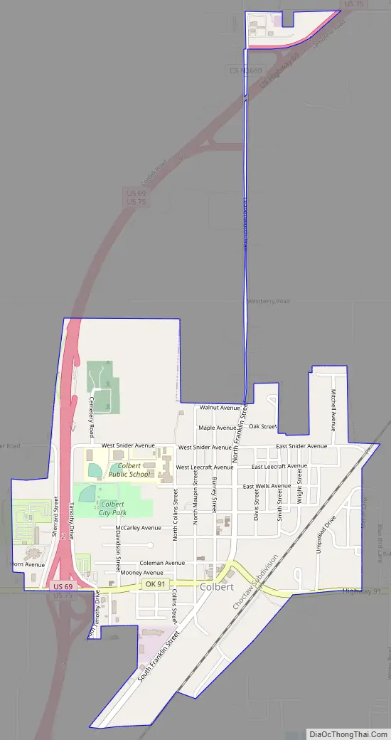
Online Interactive Map
Click on ![]() to view map in "full screen" mode.
to view map in "full screen" mode.
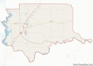
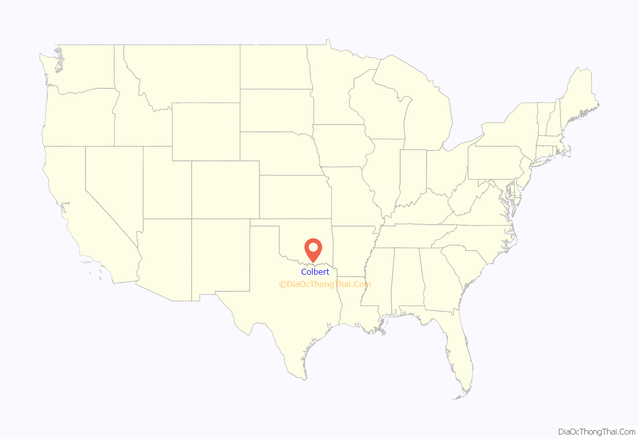
Colbert location map. Where is Colbert town?
History
Colbert men became prominent leaders among the Chickasaw for most of the 18th and 19th centuries, starting with William “de Blainville” Colbert from France born of Scottish blood. His parents fled during the Glorious Revolution in Scotland; hence, he was born in exile in Blainville-sur-Orne, France. William traveled to the New World to seek a new line of work as a fur trader since the Jacobite uprisings had ruined his entitlements as a “King Baron.” These Colberts were also related to Jean Baptiste Colbert, Treasurer to King Louis XIV. There is a chateau named after Jean Baptiste Colbert in the aforementioned French town located on the Atlantic coast; it became a safe haven beginning in 1688.
Once in the New World, William Colbert ended up marrying the Chickasaw chief’s eldest daughter in order to gain more influence in his trading of furs with the native tribes. It was from this union that the Colbert men started gaining prominence, especially since the next two generations married Chickasaw/Cherokee wives. They also became chiefs such as George Colbert (“Tootemastubbe”) and Levi Colbert (“Itawamba Mingo”).
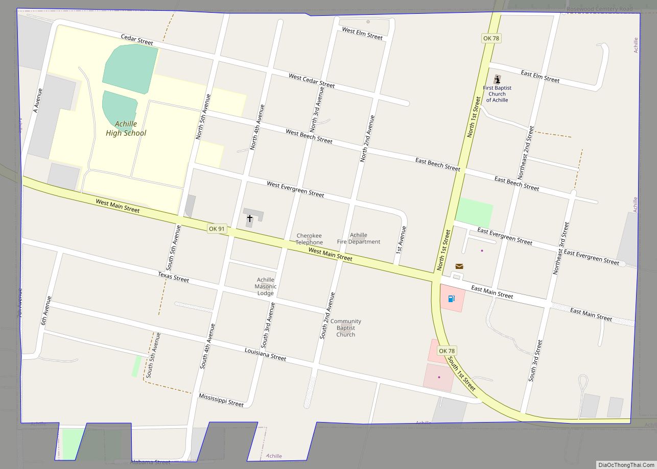
Colbert Road Map
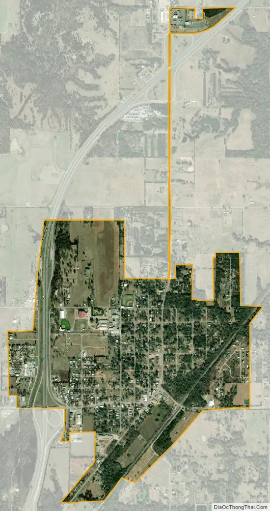
Colbert city Satellite Map
Geography
Colbert is located at 33°51′23″N 96°30′12″W / 33.85639°N 96.50333°W / 33.85639; -96.50333 (33.856340, −96.503270).
According to the United States Census Bureau, the town has a total area of 1.1 square miles (2.8 km), all land.
See also
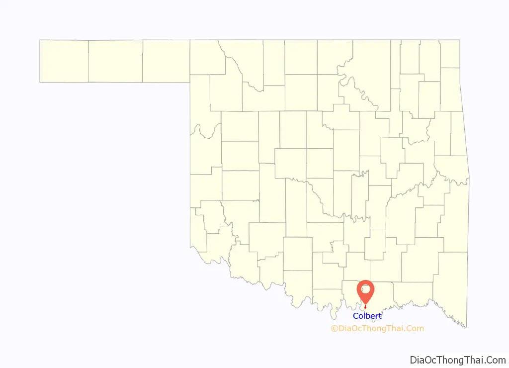
Map of Oklahoma State and its subdivision:- Adair
- Alfalfa
- Atoka
- Beaver
- Beckham
- Blaine
- Bryan
- Caddo
- Canadian
- Carter
- Cherokee
- Choctaw
- Cimarron
- Cleveland
- Coal
- Comanche
- Cotton
- Craig
- Creek
- Custer
- Delaware
- Dewey
- Ellis
- Garfield
- Garvin
- Grady
- Grant
- Greer
- Harmon
- Harper
- Haskell
- Hughes
- Jackson
- Jefferson
- Johnston
- Kay
- Kingfisher
- Kiowa
- Latimer
- Le Flore
- Lincoln
- Logan
- Love
- Major
- Marshall
- Mayes
- McClain
- McCurtain
- McIntosh
- Murray
- Muskogee
- Noble
- Nowata
- Okfuskee
- Oklahoma
- Okmulgee
- Osage
- Ottawa
- Pawnee
- Payne
- Pittsburg
- Pontotoc
- Pottawatomie
- Pushmataha
- Roger Mills
- Rogers
- Seminole
- Sequoyah
- Stephens
- Texas
- Tillman
- Tulsa
- Wagoner
- Washington
- Washita
- Woods
- Woodward
- Alabama
- Alaska
- Arizona
- Arkansas
- California
- Colorado
- Connecticut
- Delaware
- District of Columbia
- Florida
- Georgia
- Hawaii
- Idaho
- Illinois
- Indiana
- Iowa
- Kansas
- Kentucky
- Louisiana
- Maine
- Maryland
- Massachusetts
- Michigan
- Minnesota
- Mississippi
- Missouri
- Montana
- Nebraska
- Nevada
- New Hampshire
- New Jersey
- New Mexico
- New York
- North Carolina
- North Dakota
- Ohio
- Oklahoma
- Oregon
- Pennsylvania
- Rhode Island
- South Carolina
- South Dakota
- Tennessee
- Texas
- Utah
- Vermont
- Virginia
- Washington
- West Virginia
- Wisconsin
- Wyoming