Copeland (also Copeland Switch) is an unincorporated community and census-designated place (CDP) in Delaware County, Oklahoma, United States. The population was 1,629 at the 2010 census, a 12.5 percent increase from the figure of 1,448 recorded in 2000. Founded as a railroad community, it was named for local resident D.R. Copeland.
| Name: | Copeland CDP |
|---|---|
| LSAD Code: | 57 |
| LSAD Description: | CDP (suffix) |
| State: | Oklahoma |
| County: | Delaware County |
| Elevation: | 786 ft (240 m) |
| Total Area: | 7.01 sq mi (18.15 km²) |
| Land Area: | 6.98 sq mi (18.09 km²) |
| Water Area: | 0.02 sq mi (0.06 km²) |
| Total Population: | 1,511 |
| Population Density: | 216.35/sq mi (83.53/km²) |
| FIPS code: | 4017110 |
| GNISfeature ID: | 2407657 |
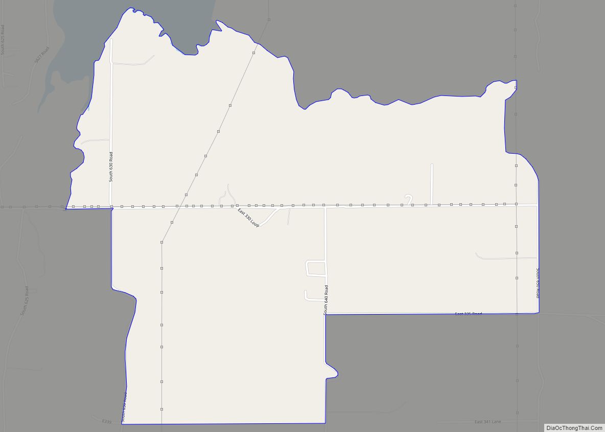
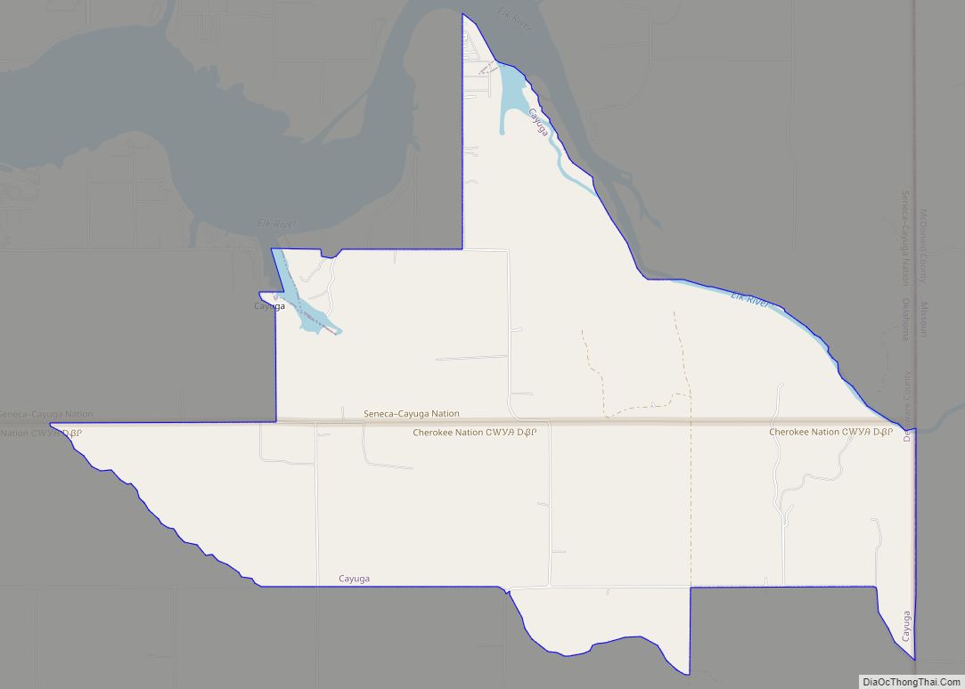
Online Interactive Map
Click on ![]() to view map in "full screen" mode.
to view map in "full screen" mode.
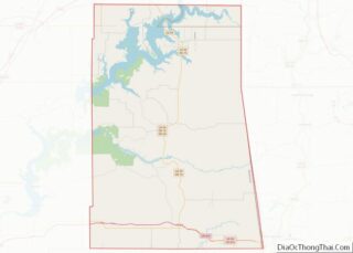
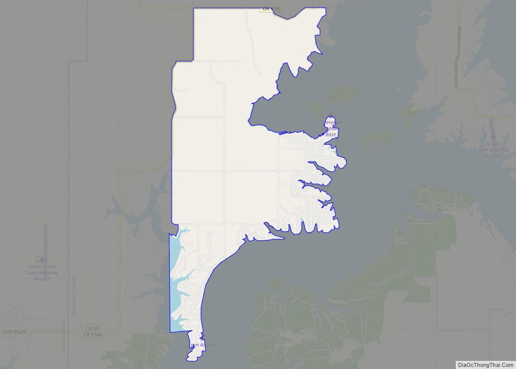
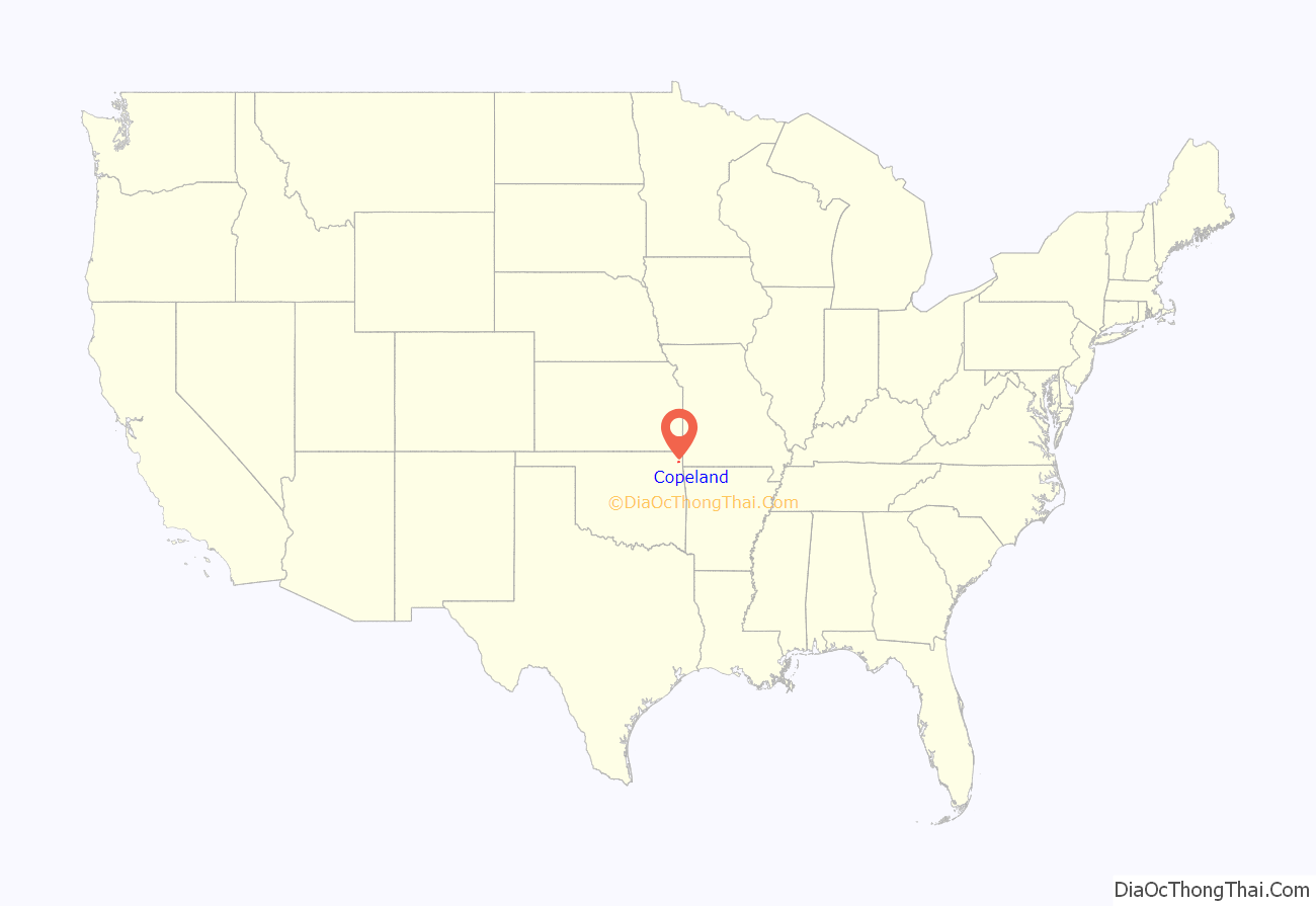
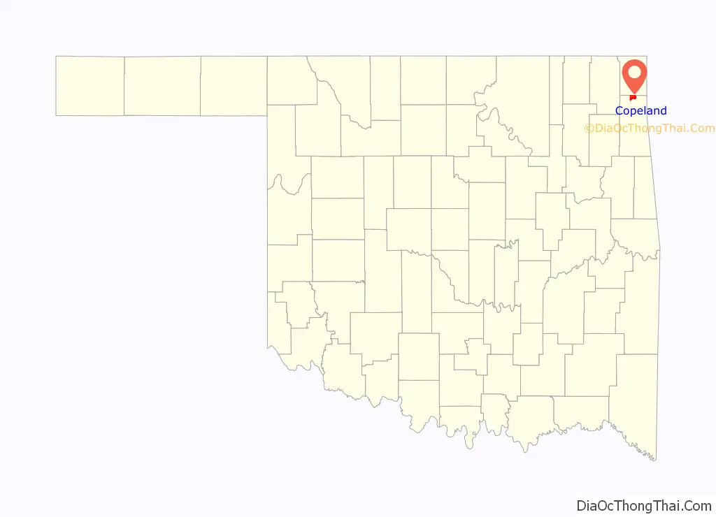
Copeland location map. Where is Copeland CDP?
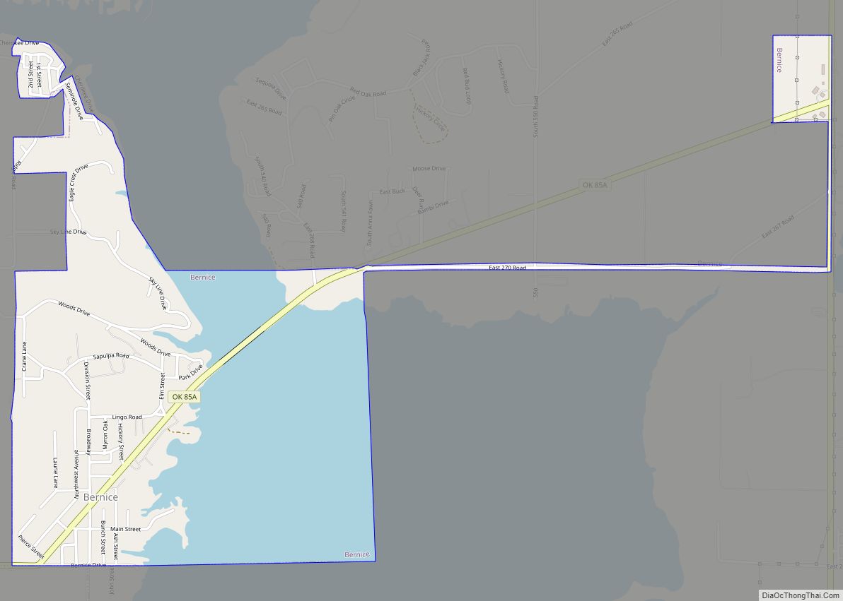
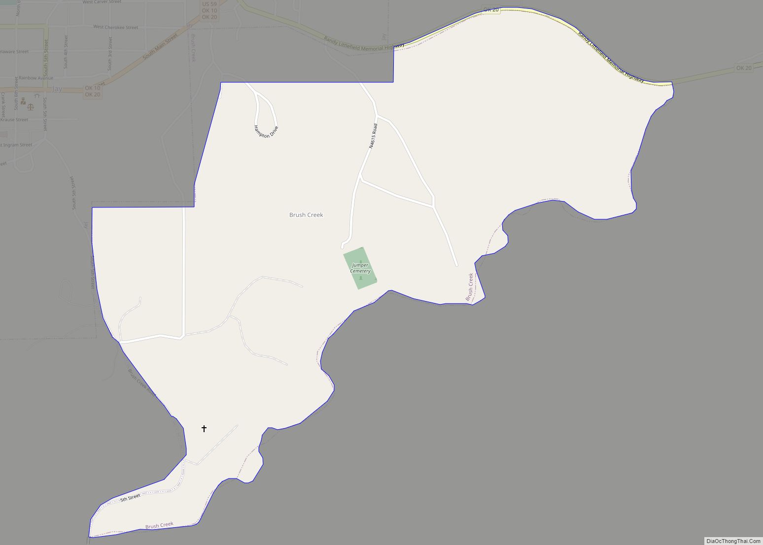
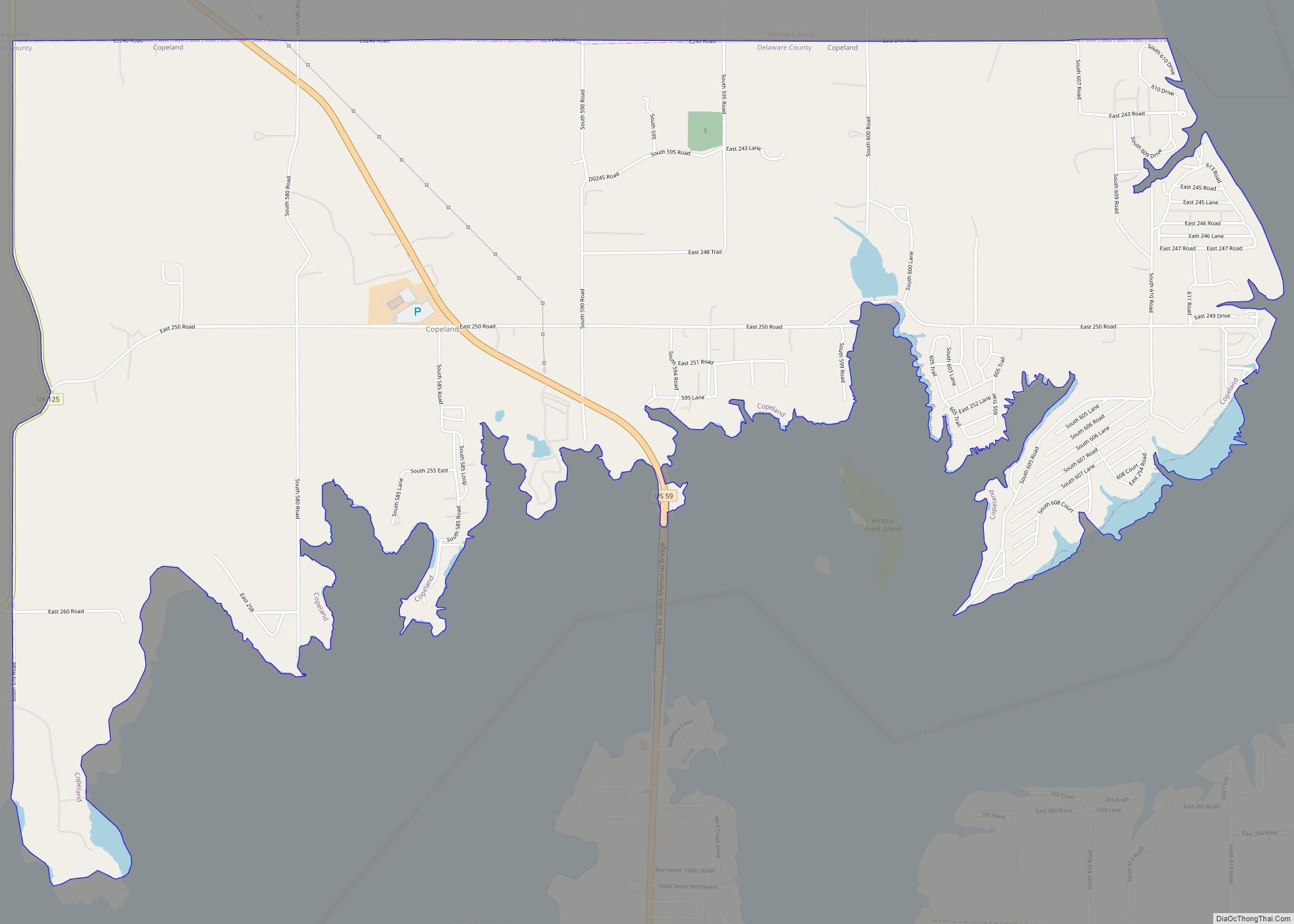
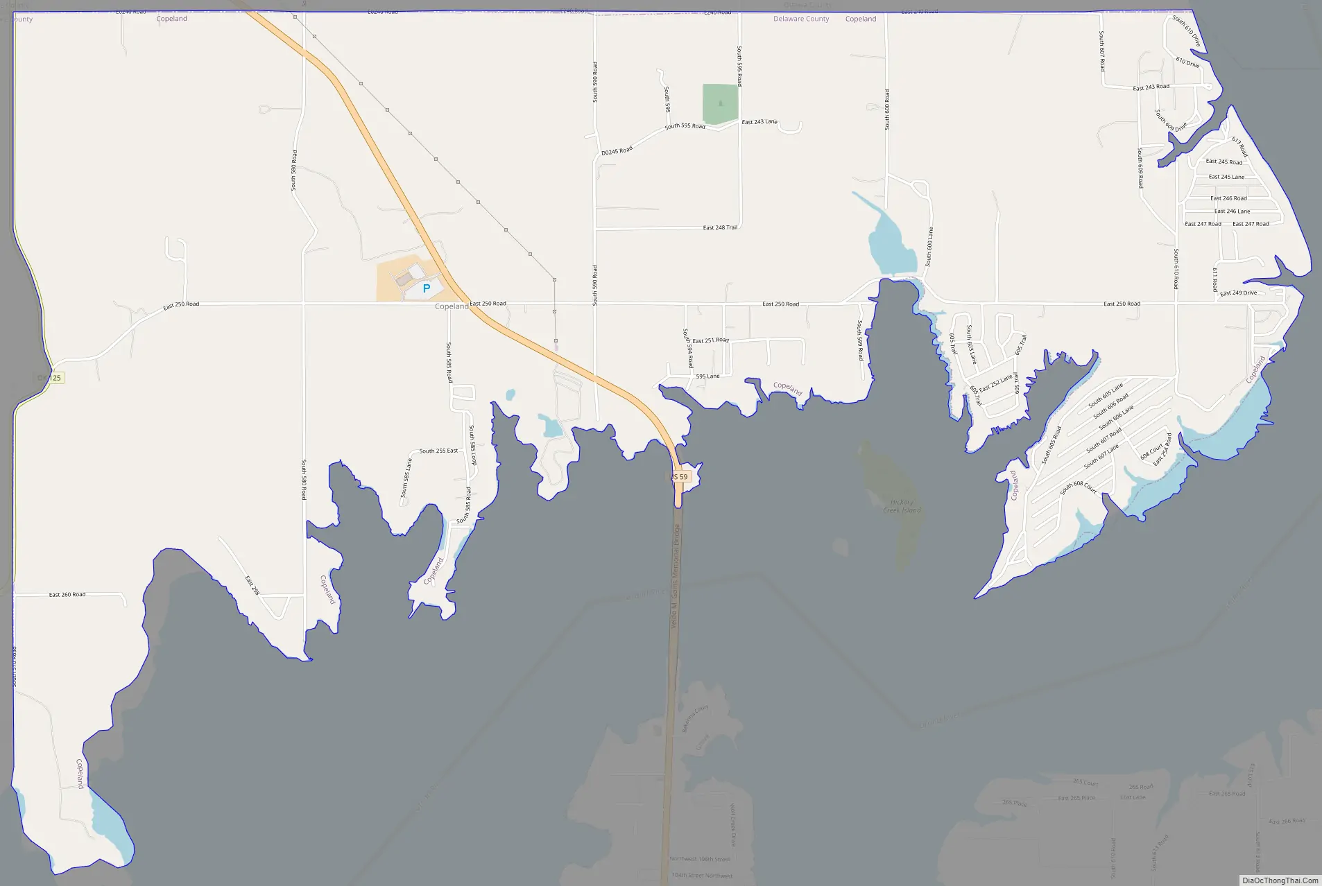
Copeland Road Map
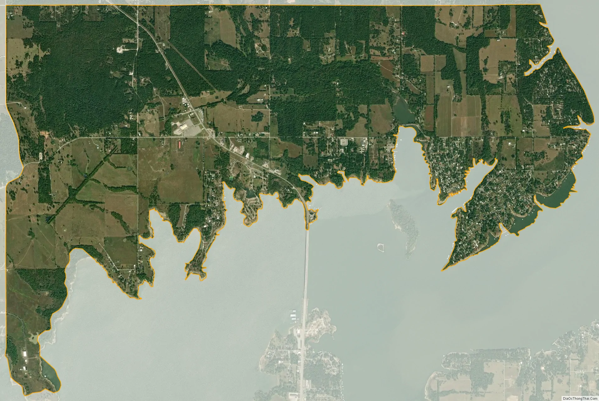
Copeland city Satellite Map
Geography
Copeland is located on the northern edge of Delaware County at 36°39′17″N 94°47′48″W / 36.65472°N 94.79667°W / 36.65472; -94.79667 (36.654833, -94.796784). It is bordered to the north by Ottawa County. It extends south to the northern shore of Grand Lake o’ the Cherokees. U.S. Route 59 passes through the community, leading south 6 miles (10 km) to the city of Grove and northwest 9 miles (14 km) to Interstate 44 near Afton.
According to the United States Census Bureau, the Copeland CDP has a total area of 7.32 square miles (18.95 km), of which 7.29 square miles (18.89 km) is land and 0.02 square miles (0.06 km), or 0.31%, is water.
See also
Map of Oklahoma State and its subdivision:- Adair
- Alfalfa
- Atoka
- Beaver
- Beckham
- Blaine
- Bryan
- Caddo
- Canadian
- Carter
- Cherokee
- Choctaw
- Cimarron
- Cleveland
- Coal
- Comanche
- Cotton
- Craig
- Creek
- Custer
- Delaware
- Dewey
- Ellis
- Garfield
- Garvin
- Grady
- Grant
- Greer
- Harmon
- Harper
- Haskell
- Hughes
- Jackson
- Jefferson
- Johnston
- Kay
- Kingfisher
- Kiowa
- Latimer
- Le Flore
- Lincoln
- Logan
- Love
- Major
- Marshall
- Mayes
- McClain
- McCurtain
- McIntosh
- Murray
- Muskogee
- Noble
- Nowata
- Okfuskee
- Oklahoma
- Okmulgee
- Osage
- Ottawa
- Pawnee
- Payne
- Pittsburg
- Pontotoc
- Pottawatomie
- Pushmataha
- Roger Mills
- Rogers
- Seminole
- Sequoyah
- Stephens
- Texas
- Tillman
- Tulsa
- Wagoner
- Washington
- Washita
- Woods
- Woodward
- Alabama
- Alaska
- Arizona
- Arkansas
- California
- Colorado
- Connecticut
- Delaware
- District of Columbia
- Florida
- Georgia
- Hawaii
- Idaho
- Illinois
- Indiana
- Iowa
- Kansas
- Kentucky
- Louisiana
- Maine
- Maryland
- Massachusetts
- Michigan
- Minnesota
- Mississippi
- Missouri
- Montana
- Nebraska
- Nevada
- New Hampshire
- New Jersey
- New Mexico
- New York
- North Carolina
- North Dakota
- Ohio
- Oklahoma
- Oregon
- Pennsylvania
- Rhode Island
- South Carolina
- South Dakota
- Tennessee
- Texas
- Utah
- Vermont
- Virginia
- Washington
- West Virginia
- Wisconsin
- Wyoming