Cornish is an incorporated town in eastern Jefferson County, Oklahoma, United States. The population was 163 at the 2010 census, a decline of 5.2 percent from the figure of 172 in 2000.
| Name: | Cornish town |
|---|---|
| LSAD Code: | 43 |
| LSAD Description: | town (suffix) |
| State: | Oklahoma |
| County: | Jefferson County |
| Elevation: | 850 ft (259 m) |
| Total Area: | 0.60 sq mi (1.56 km²) |
| Land Area: | 0.60 sq mi (1.56 km²) |
| Water Area: | 0.00 sq mi (0.00 km²) |
| Total Population: | 110 |
| Population Density: | 182.72/sq mi (70.54/km²) |
| FIPS code: | 4017350 |
| GNISfeature ID: | 1091692 |
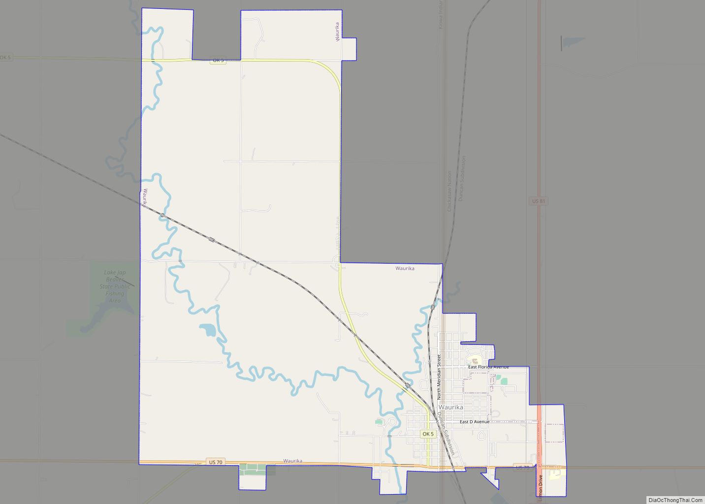
Online Interactive Map
Click on ![]() to view map in "full screen" mode.
to view map in "full screen" mode.
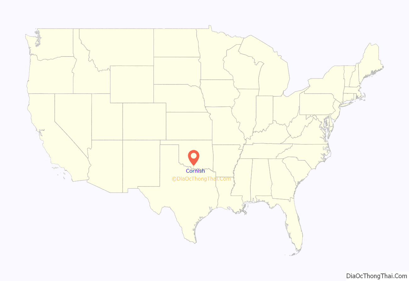
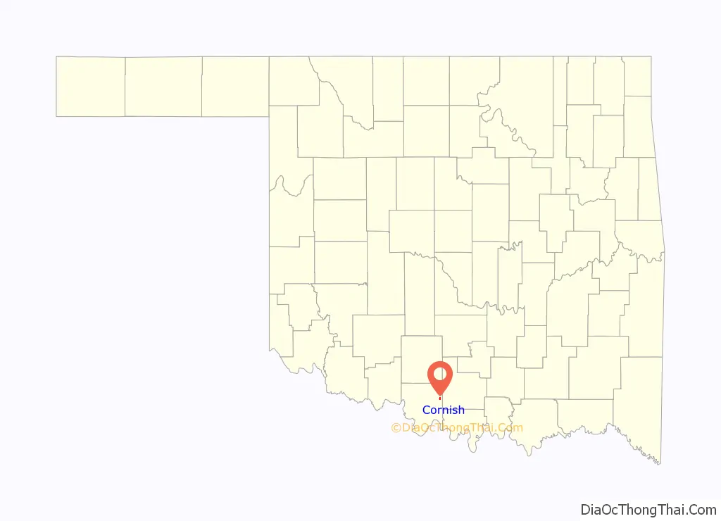
Cornish location map. Where is Cornish town?
History
Prior to statehood, Cornish was a community in Pickens County of the Chickasaw Nation. It was named for John E. Cornish, a local resident and cattle rancher. A post office opened in Cornish in 1901. M. E. “Mose” Harris founded the Cornish Orphans Home and began construction in 1907. The home would continue this work for the next forty years.
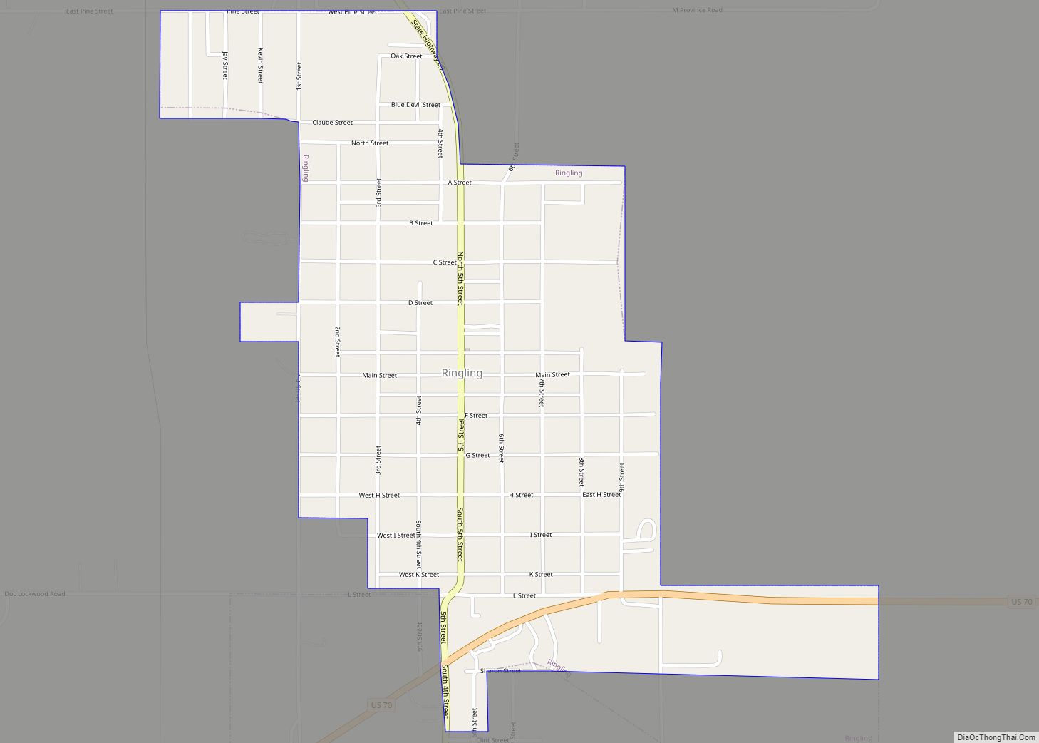
The Healdton Oilfield was discovered in August 1910, approximately 8 miles (13 km) northeast of Cornish. The town of Ringling was founded in June 1914, near the discovery and on the Oklahoma, New Mexico and Pacific Railway. Many Cornish businessmen and other residents moved to Ringling, and Cornish dwindled away.
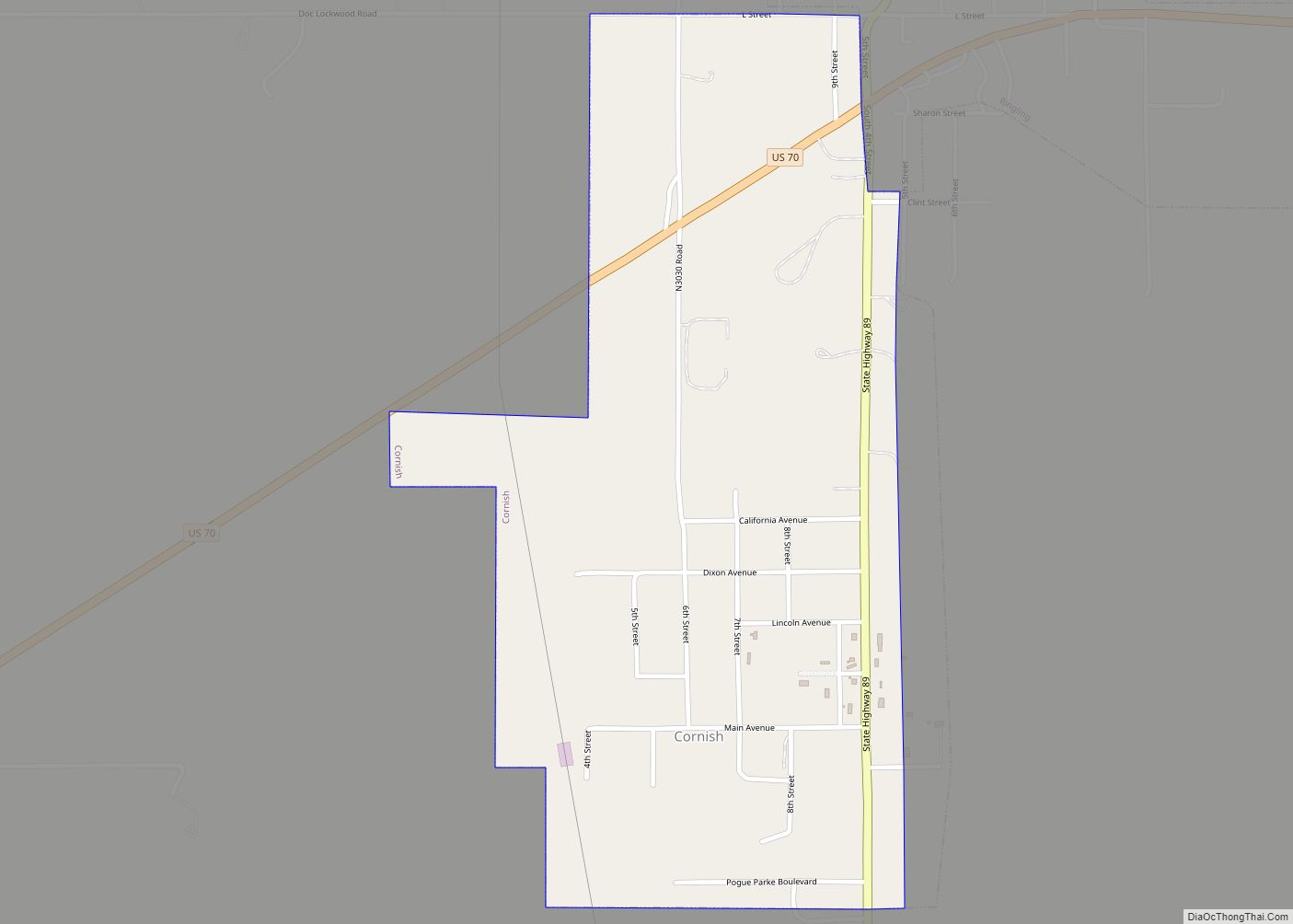
Cornish Road Map
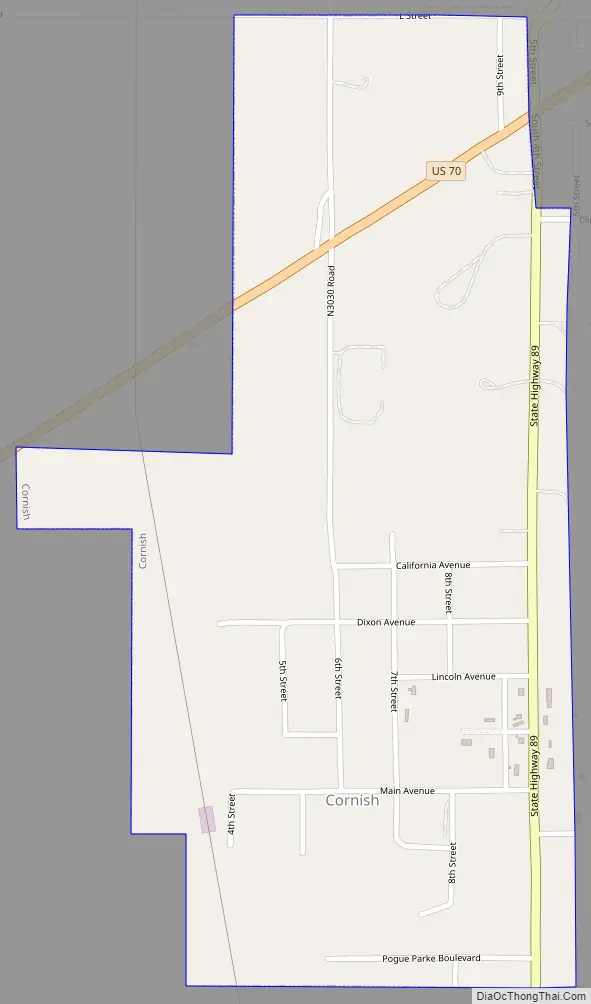
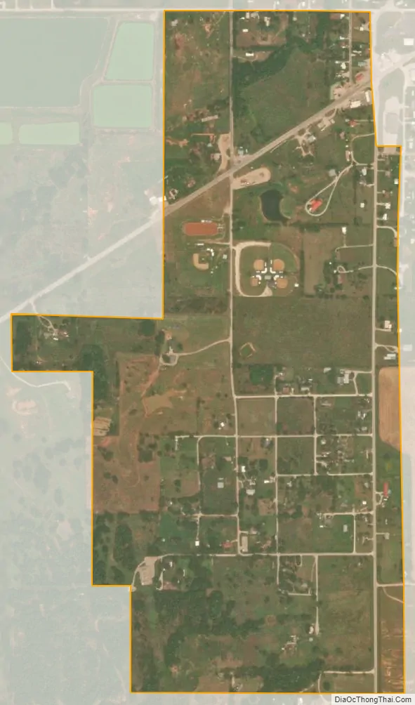
Cornish city Satellite Map
Geography
Cornish is located at 34°09′46″N 97°35′44″W / 34.162641°N 97.595472°W / 34.162641; -97.595472. The town is 25 miles (40 km) east of Waurika and 27 miles (43 km) west of Ardmore.
According to the United States Census Bureau, the town has a total area of 0.6 square miles (1.6 km), all land.
See also
Map of Oklahoma State and its subdivision:- Adair
- Alfalfa
- Atoka
- Beaver
- Beckham
- Blaine
- Bryan
- Caddo
- Canadian
- Carter
- Cherokee
- Choctaw
- Cimarron
- Cleveland
- Coal
- Comanche
- Cotton
- Craig
- Creek
- Custer
- Delaware
- Dewey
- Ellis
- Garfield
- Garvin
- Grady
- Grant
- Greer
- Harmon
- Harper
- Haskell
- Hughes
- Jackson
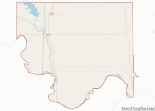
- Jefferson
- Johnston
- Kay
- Kingfisher
- Kiowa
- Latimer
- Le Flore
- Lincoln
- Logan
- Love
- Major
- Marshall
- Mayes
- McClain
- McCurtain
- McIntosh
- Murray
- Muskogee
- Noble
- Nowata
- Okfuskee
- Oklahoma
- Okmulgee
- Osage
- Ottawa
- Pawnee
- Payne
- Pittsburg
- Pontotoc
- Pottawatomie
- Pushmataha
- Roger Mills
- Rogers
- Seminole
- Sequoyah
- Stephens
- Texas
- Tillman
- Tulsa
- Wagoner
- Washington
- Washita
- Woods
- Woodward
- Alabama
- Alaska
- Arizona
- Arkansas
- California
- Colorado
- Connecticut
- Delaware
- District of Columbia
- Florida
- Georgia
- Hawaii
- Idaho
- Illinois
- Indiana
- Iowa
- Kansas
- Kentucky
- Louisiana
- Maine
- Maryland
- Massachusetts
- Michigan
- Minnesota
- Mississippi
- Missouri
- Montana
- Nebraska
- Nevada
- New Hampshire
- New Jersey
- New Mexico
- New York
- North Carolina
- North Dakota
- Ohio
- Oklahoma
- Oregon
- Pennsylvania
- Rhode Island
- South Carolina
- South Dakota
- Tennessee
- Texas
- Utah
- Vermont
- Virginia
- Washington
- West Virginia
- Wisconsin
- Wyoming