Ardmore is the county seat of Carter County, Oklahoma, United States. According to the 2010 census, the city had a population of 24,283, with an estimated population of 24,698 in 2019. The Ardmore micropolitan statistical area had an estimated population of 48,491 in 2013. Ardmore is 90 miles (140 km) from both Oklahoma City and Dallas/Fort Worth, Texas, at the junction of Interstate 35 and U.S. Highway 70, and is generally considered the hub of the 13-county region of South Central Oklahoma, also known by state tourism pamphlets as “Chickasaw Country” and previously “Lake and Trail Country”. It is also a part of the Texoma region. Ardmore is situated about 9 miles (14 km) south of the Arbuckle Mountains and is located at the eastern margin of the Healdton Basin, one of the most oil-rich regions of the United States.
Ardmore was named after the affluent Philadelphia suburb and historic PRR Main Line stop of Ardmore, Pennsylvania, which was named after Ardmore in County Waterford, Ireland, by the Pennsylvania Railroad in 1873. The name “Ardmore” is Irish for high grounds or hills.
| Name: | Ardmore city |
|---|---|
| LSAD Code: | 25 |
| LSAD Description: | city (suffix) |
| State: | Oklahoma |
| County: | Carter County |
| Elevation: | 873 ft (266 m) |
| Total Area: | 51.76 sq mi (134.06 km²) |
| Land Area: | 49.83 sq mi (129.06 km²) |
| Water Area: | 1.93 sq mi (5.00 km²) |
| Total Population: | 24,725 |
| Population Density: | 496.20/sq mi (191.58/km²) |
| ZIP code: | 73401-73403 |
| Area code: | 580 |
| FIPS code: | 4002600 |
| GNISfeature ID: | 1089691 |
| Website: | www.ardmorecity.org |
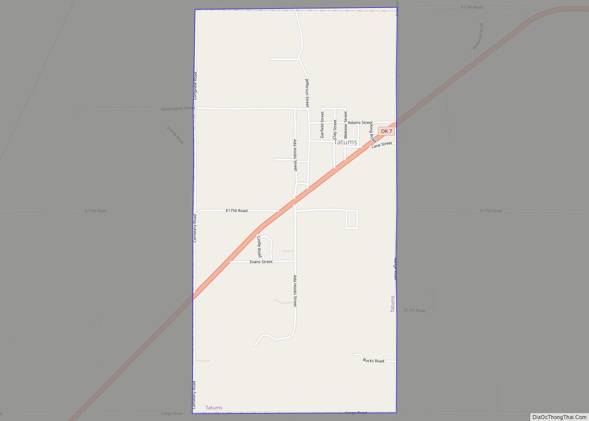
Online Interactive Map
Click on ![]() to view map in "full screen" mode.
to view map in "full screen" mode.
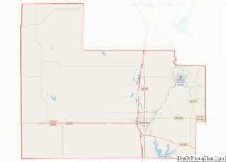
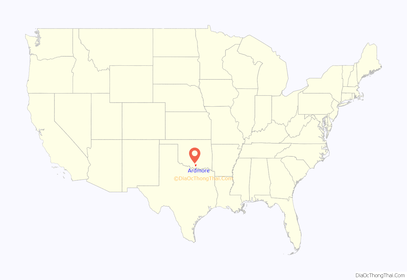
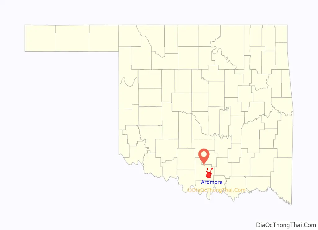
Ardmore location map. Where is Ardmore city?
History
Ardmore, Indian Territory, began with a plowed ditch for a Main Street in the summer of 1887 in Pickens County, Chickasaw Nation. It owes much of its existence to the construction of the Santa Fe Railroad through the area during that time. It grew, as most frontier towns grew, over the years into a trading outpost for the region. A large fire in 1895 destroyed much of the fledgling town, which forced residents to rebuild nearly the entire town. In the early 1900s, Ardmore became well known for its abundance of cotton-growing fields and eventually became known as the world’s largest inland cotton port.
After the fields were stripped of their fertility, however, the city found itself positioned next to one of the largest oil fields ever produced in Oklahoma, the Healdton Oil Field. After its discovery in 1913, entrepreneurs and wildcatters flooded the area, and Carter County quickly became the largest oil-producing county in Oklahoma, and has remained so ever since. Ardmore has remained an energy center for the region ever since, with the region’s natural wealth giving birth to such energy giants as the Noble Energy companies, among others. Ardmore also learned the perils of being energy-rich with yet another disaster in 1915, when a railroad car containing casing gas exploded, killing 45 people and destroying much of downtown, including areas rebuilt after the 1895 fire. The disaster, which made national news, gave residents the resolve to establish the city’s first fire department to ensure that such events would not recur in the future. The city has not experienced any major setbacks since the 1915 fire, save a 1995 tornado that nearly destroyed the Uniroyal Goodrich (now Michelin) tire plant in west Ardmore. Despite a shift at the plant working at the time, miraculously no one was killed as the tornado ripped through the area, due to the public being alerted by area news and tornado sirens. On April 22, 1966, Ardmore was the site of the worst plane crash in Oklahoma history, which killed 83 people.
Sports
Ardmore was home to minor league baseball. The Ardmore Cardinals was the primary name of Ardmore teams that played as members of the Texas League (1904), Texas-Oklahoma League (1911–1914), Western Association (1917), Texas-Oklahoma League (1921–1922), Western Association (1923), Oklahoma State League (1924), Western Association (1924–1926), Sooner State League (1947–1957) and Texas League (1961). Ardmore captured league championships in 1923, 1925 and 1957. Ardmore was an affiliate of the Cleveland Indians (1947–1948), St. Louis Cardinals (1953–1957) and Baltimore Orioles (1961).
Baseball Hall of Fame inductee Carl Hubbell played for the Ardmore Bearcats in 1924, his first professional season.
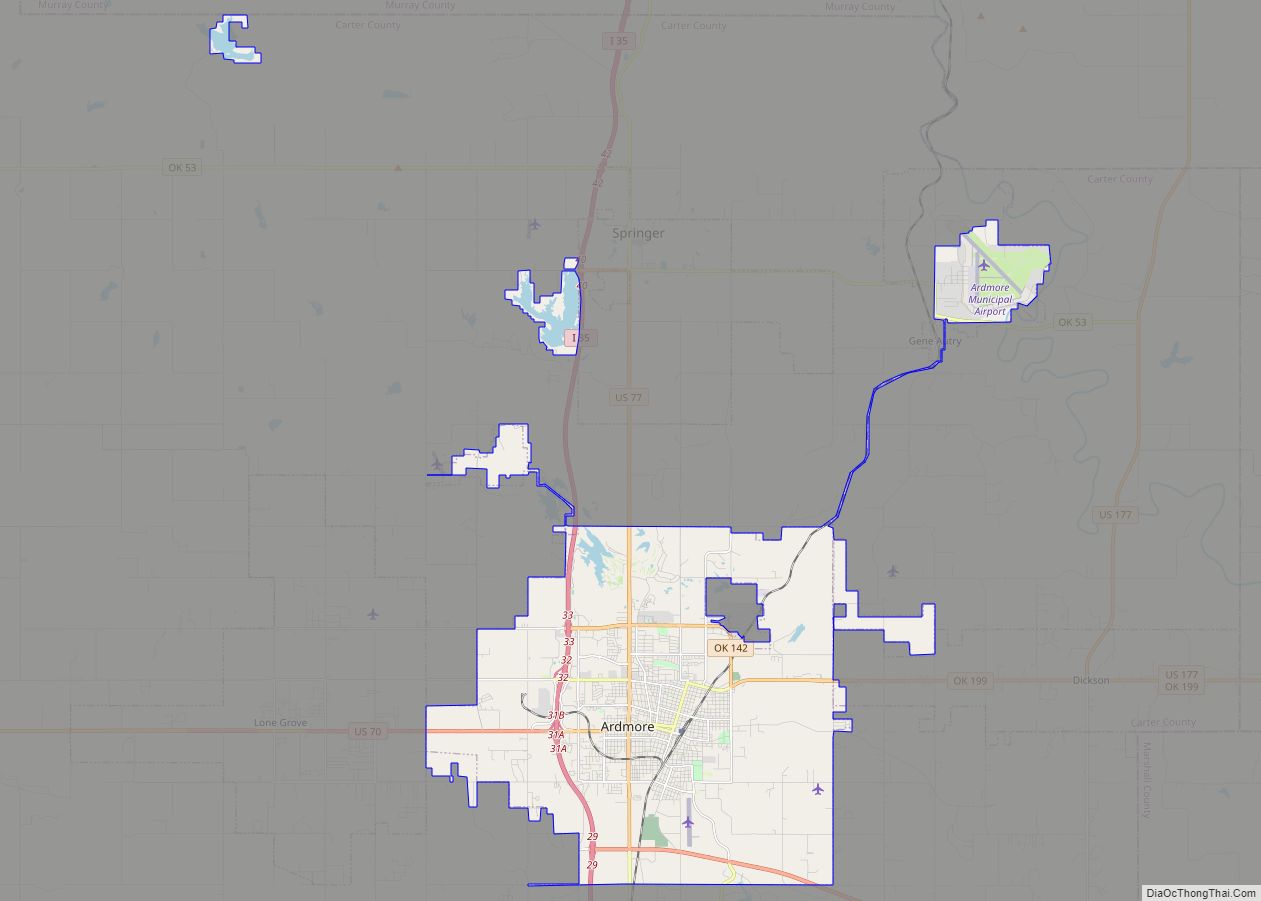
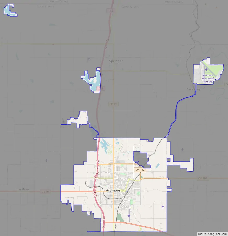
Ardmore Road Map
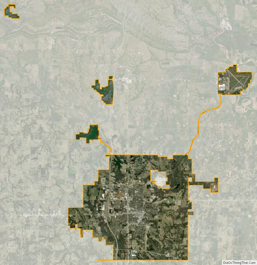
Ardmore city Satellite Map
Geography
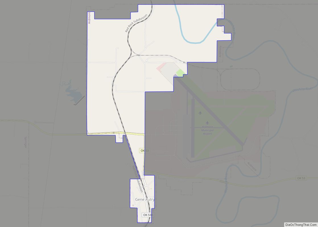
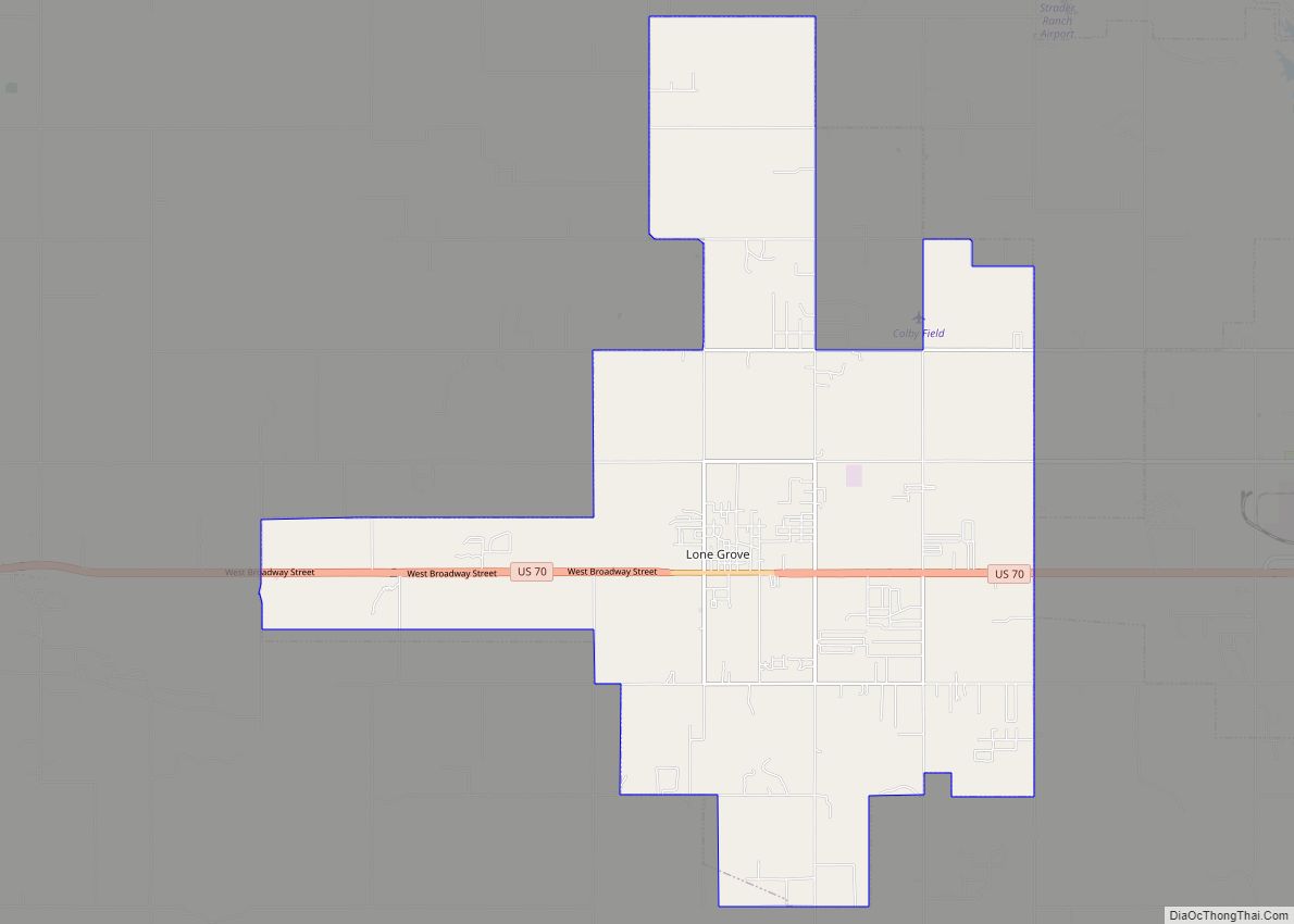
Ardmore is located in southeastern Carter County at 34°10′52″N 97°07′46″W / 34.181240°N 97.129363°W / 34.181240; -97.129363 (34.181240, −97.129363). It is bordered to the west by the city of Lone Grove and to the east by the town of Dickson. Via Interstate 35, which passes through the west side of Ardmore, Oklahoma City is 97 miles (156 km) to the north, while Fort Worth, Texas, is 103 miles (166 km) to the south.
According to the United States Census Bureau, Ardmore has a total area of 51.8 square miles (134.1 km), of which 49.9 square miles (129.2 km) is land and 1.9 square miles (4.9 km), or 3.67%, is water.
Ardmore is located approximately 10 miles (16 km) south of the Arbuckles, an ancient, eroded range spanning some 62 mi (100 km) across southern Oklahoma. The geology is highly variegated within the area, with uplifted and folded ridges visible within the shoreline of some of the lakes surrounding Ardmore. The city of Ardmore has no intracity streams or rivers, but is part of the Washita and Red River watersheds, with two tributaries, Caddo and Hickory creeks, flanking the broad, low area in which Ardmore is situated. Ardmore is also 3.1 mi (5 km) north of Lake Murray, an impoundment of the two arms of Anadarche Creek, which eventually flows into the western reaches of Lake Texoma.
Climate
See also
Map of Oklahoma State and its subdivision:- Adair
- Alfalfa
- Atoka
- Beaver
- Beckham
- Blaine
- Bryan
- Caddo
- Canadian
- Carter
- Cherokee
- Choctaw
- Cimarron
- Cleveland
- Coal
- Comanche
- Cotton
- Craig
- Creek
- Custer
- Delaware
- Dewey
- Ellis
- Garfield
- Garvin
- Grady
- Grant
- Greer
- Harmon
- Harper
- Haskell
- Hughes
- Jackson
- Jefferson
- Johnston
- Kay
- Kingfisher
- Kiowa
- Latimer
- Le Flore
- Lincoln
- Logan
- Love
- Major
- Marshall
- Mayes
- McClain
- McCurtain
- McIntosh
- Murray
- Muskogee
- Noble
- Nowata
- Okfuskee
- Oklahoma
- Okmulgee
- Osage
- Ottawa
- Pawnee
- Payne
- Pittsburg
- Pontotoc
- Pottawatomie
- Pushmataha
- Roger Mills
- Rogers
- Seminole
- Sequoyah
- Stephens
- Texas
- Tillman
- Tulsa
- Wagoner
- Washington
- Washita
- Woods
- Woodward
- Alabama
- Alaska
- Arizona
- Arkansas
- California
- Colorado
- Connecticut
- Delaware
- District of Columbia
- Florida
- Georgia
- Hawaii
- Idaho
- Illinois
- Indiana
- Iowa
- Kansas
- Kentucky
- Louisiana
- Maine
- Maryland
- Massachusetts
- Michigan
- Minnesota
- Mississippi
- Missouri
- Montana
- Nebraska
- Nevada
- New Hampshire
- New Jersey
- New Mexico
- New York
- North Carolina
- North Dakota
- Ohio
- Oklahoma
- Oregon
- Pennsylvania
- Rhode Island
- South Carolina
- South Dakota
- Tennessee
- Texas
- Utah
- Vermont
- Virginia
- Washington
- West Virginia
- Wisconsin
- Wyoming