Coweta is a city in Wagoner County, Oklahoma, United States, a suburb of Tulsa. As of 2010, its population was 9,943. Part of the Creek Nation in Indian Territory before Oklahoma became a U.S. state, the town was first settled in 1840.
| Name: | Coweta city |
|---|---|
| LSAD Code: | 25 |
| LSAD Description: | city (suffix) |
| State: | Oklahoma |
| County: | Wagoner County |
| Elevation: | 663 ft (202 m) |
| Total Area: | 10.71 sq mi (27.73 km²) |
| Land Area: | 10.58 sq mi (27.41 km²) |
| Water Area: | 0.12 sq mi (0.32 km²) |
| Total Population: | 9,654 |
| Population Density: | 912.13/sq mi (352.16/km²) |
| ZIP code: | 74429 |
| Area code: | 539/918 |
| FIPS code: | 4017800 |
| GNISfeature ID: | 1091781 |
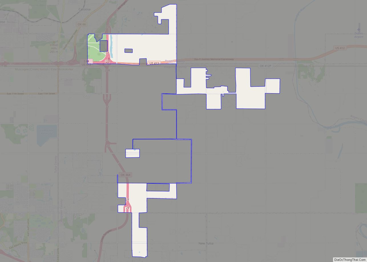
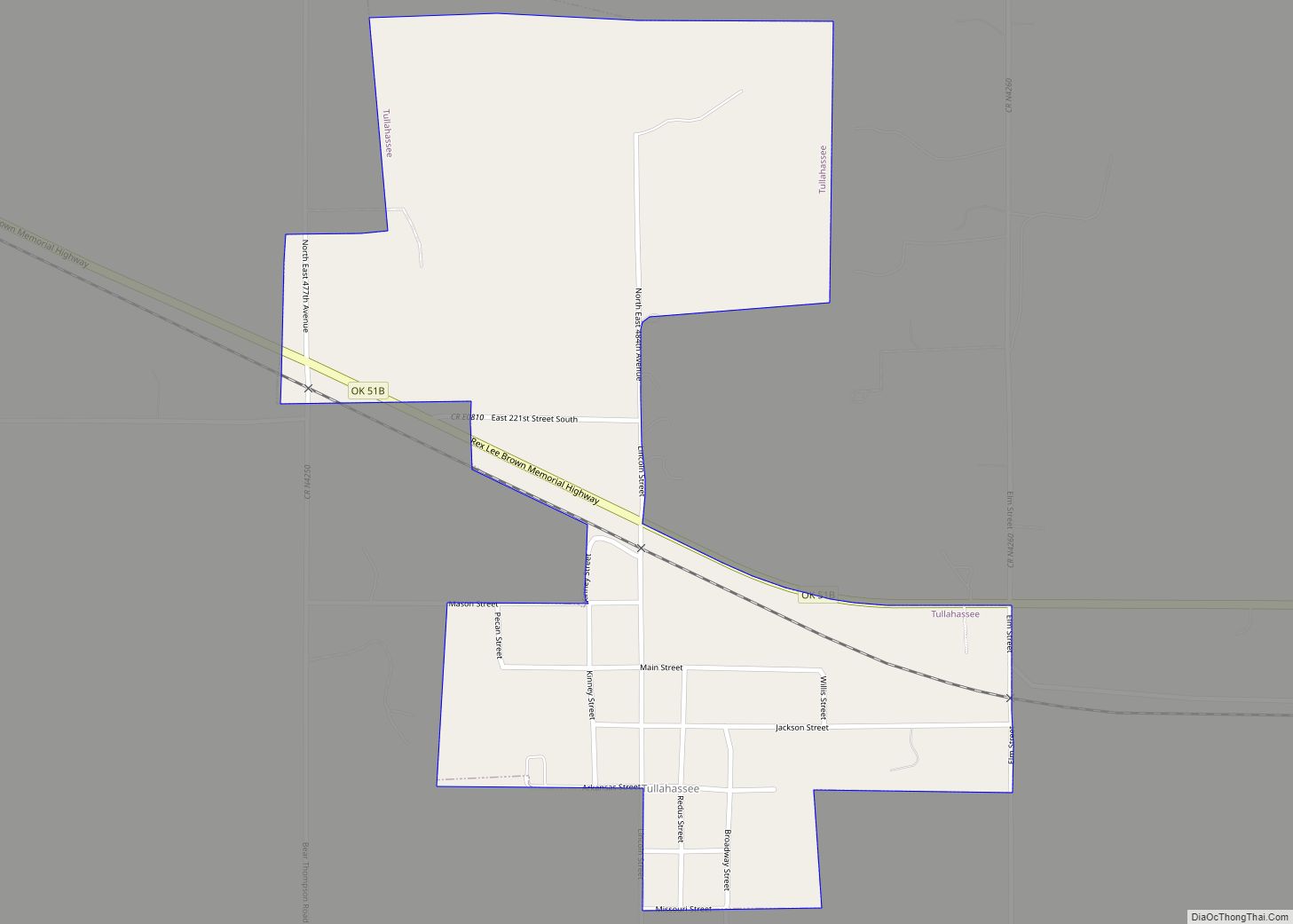
Online Interactive Map
Click on ![]() to view map in "full screen" mode.
to view map in "full screen" mode.
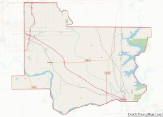
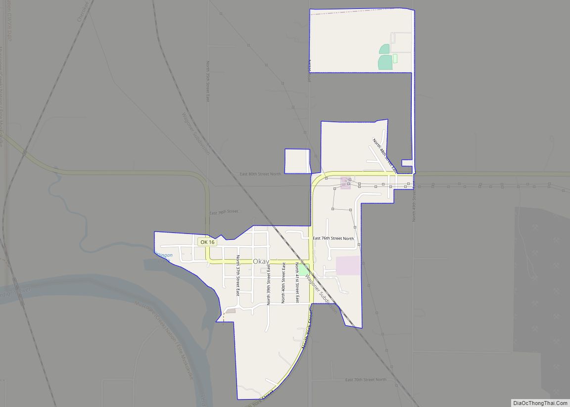
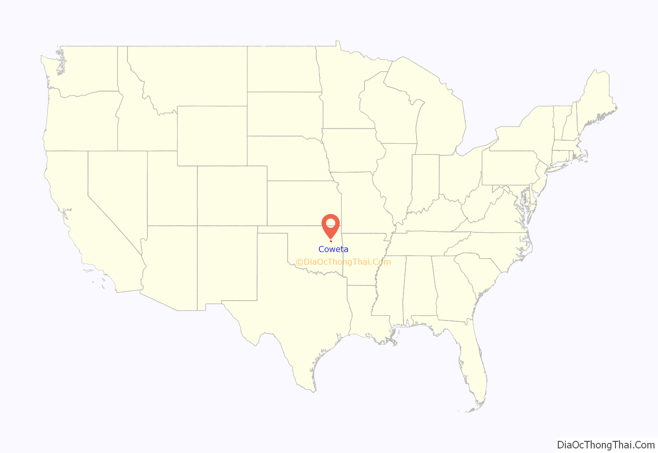
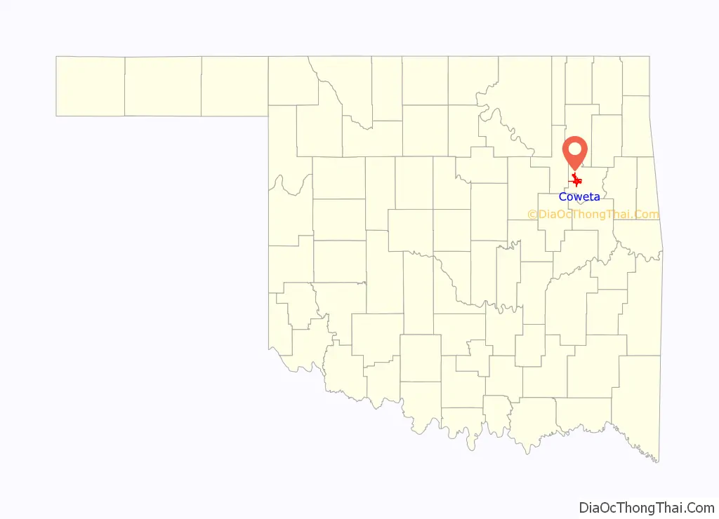
Coweta location map. Where is Coweta city?
History
Before statehood, when the Five Tribes or Five Civilized Tribes were moved to Indian Territory from the Southeastern United States, the area that is now Coweta was designated as part of the Muscogee (Creek) Nation. Coweta was named after a Lower Creek town on the Chattahoochee River in southwestern Georgia. It was first settled by Muscogee about 1840.
In 1843, Robert Loughridge, a Presbyterian minister, arrived in the area and established a mission, named “Koweta”. He had gained Creek Council approval for this the year before. Loughridge left Koweta in 1850 to supervise the newly completed Tullahassee Mission School. Both schools closed in 1861 at the outbreak of the American Civil War, when missionaries left the Territory.
In 1867 after the Civil War, the Creek Indians adopted a constitution related to the model of the United States. In addition to government, it established six districts for their nation. Everything northeast of the Arkansas River, including Tulsa, became the Coweta district. The political center of this district was located in a log courthouse on Coweta Creek, about a quarter mile west of present-day center of downtown Coweta. The post office was established on May 24, 1897, and took its name from Koweta Mission.
As a result of negotiations with the congressionally appointed Dawes Commission, regarding the allotment of tribal communal lands in 1897–1898, the Creek courts’ jurisdiction was turned over to the federal government.
Notable events in 1903 included the arrival of the Missouri-Kansas-Texas Railroad in Coweta; founding of the community’s first newspaper, The Courier; construction of the first public school for whites; and installation of a telephone line.
The Creek Nation had already established numerous schools for Indian children in their territory well before this time. The tribal school system was funded from federal annuities paid following Creek removal to Indian Territory. By the later 19th century, the Creek Nation encouraged the founding of more schools: Wealaka Mission School (1882), which replaced Tullahassee; Asbury Manual Labor School, transferred from Alabama; Harrell Institute (1881); Bacone College (1885); and Levering, Nuyaka, and Yuchi Mission schools. In this period, they had seven boarding schools for Indian children, three boarding schools for descendants of Creek Freedmen, including what was known after 1883 as the Tullahassee Manual Labor School; and 65 day schools.
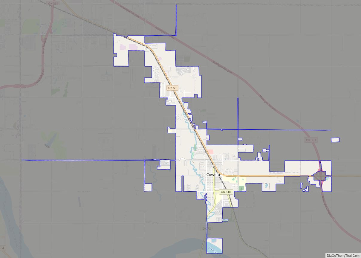
Coweta Road Map
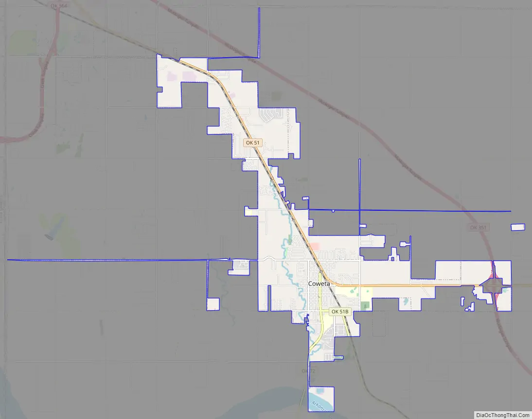
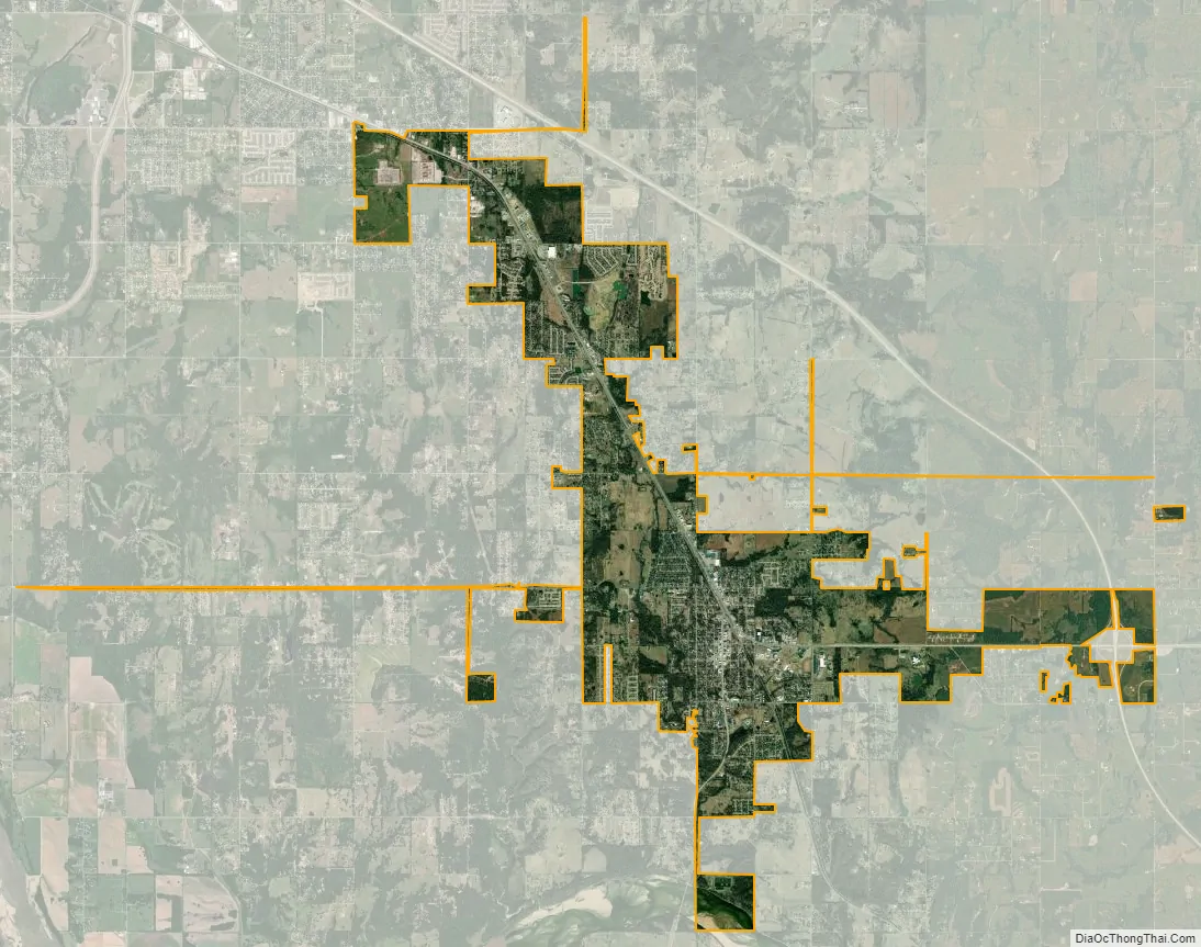
Coweta city Satellite Map
Geography
Coweta is located at 35°57′47″N 95°39′42″W / 35.96306°N 95.66167°W / 35.96306; -95.66167 (35.963155, -95.661586). Coweta is on the Arkansas River, 30 miles (48 km) southeast of Tulsa and 30 miles (48 km) northwest of Muskogee.
According to the United States Census Bureau, the city has a total area of 7.7 sq mi (20 km), of which 0.1 sq mi (0.26 km) (1.56%) is covered by water.
Climate
Coweta has a temperate climate of the humid subtropical variety (Köppen Cfa) with a yearly average precipitation of 43.9 inches (1,120 mm) and average snowfall of 1.8 inches (46 mm).
See also
Map of Oklahoma State and its subdivision:- Adair
- Alfalfa
- Atoka
- Beaver
- Beckham
- Blaine
- Bryan
- Caddo
- Canadian
- Carter
- Cherokee
- Choctaw
- Cimarron
- Cleveland
- Coal
- Comanche
- Cotton
- Craig
- Creek
- Custer
- Delaware
- Dewey
- Ellis
- Garfield
- Garvin
- Grady
- Grant
- Greer
- Harmon
- Harper
- Haskell
- Hughes
- Jackson
- Jefferson
- Johnston
- Kay
- Kingfisher
- Kiowa
- Latimer
- Le Flore
- Lincoln
- Logan
- Love
- Major
- Marshall
- Mayes
- McClain
- McCurtain
- McIntosh
- Murray
- Muskogee
- Noble
- Nowata
- Okfuskee
- Oklahoma
- Okmulgee
- Osage
- Ottawa
- Pawnee
- Payne
- Pittsburg
- Pontotoc
- Pottawatomie
- Pushmataha
- Roger Mills
- Rogers
- Seminole
- Sequoyah
- Stephens
- Texas
- Tillman
- Tulsa
- Wagoner
- Washington
- Washita
- Woods
- Woodward
- Alabama
- Alaska
- Arizona
- Arkansas
- California
- Colorado
- Connecticut
- Delaware
- District of Columbia
- Florida
- Georgia
- Hawaii
- Idaho
- Illinois
- Indiana
- Iowa
- Kansas
- Kentucky
- Louisiana
- Maine
- Maryland
- Massachusetts
- Michigan
- Minnesota
- Mississippi
- Missouri
- Montana
- Nebraska
- Nevada
- New Hampshire
- New Jersey
- New Mexico
- New York
- North Carolina
- North Dakota
- Ohio
- Oklahoma
- Oregon
- Pennsylvania
- Rhode Island
- South Carolina
- South Dakota
- Tennessee
- Texas
- Utah
- Vermont
- Virginia
- Washington
- West Virginia
- Wisconsin
- Wyoming