Crescent is a city in Logan County, Oklahoma, United States. The population inside the city limits was 1,411 at the 2010 census. It is part of the Oklahoma City Metropolitan Statistical Area.
| Name: | Crescent city |
|---|---|
| LSAD Code: | 25 |
| LSAD Description: | city (suffix) |
| State: | Oklahoma |
| County: | Logan County |
| Elevation: | 1,142 ft (348 m) |
| Total Area: | 1.07 sq mi (2.78 km²) |
| Land Area: | 1.07 sq mi (2.78 km²) |
| Water Area: | 0.00 sq mi (0.00 km²) |
| Total Population: | 1,299 |
| Population Density: | 1,209.50/sq mi (466.94/km²) |
| ZIP code: | 73028 |
| Area code: | 405/572 |
| FIPS code: | 4018250 |
| GNISfeature ID: | 1091814 |
| Website: | http://www.cityofcrescent.com |
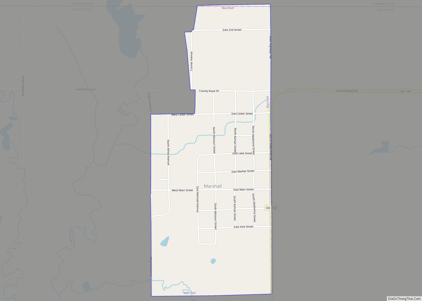
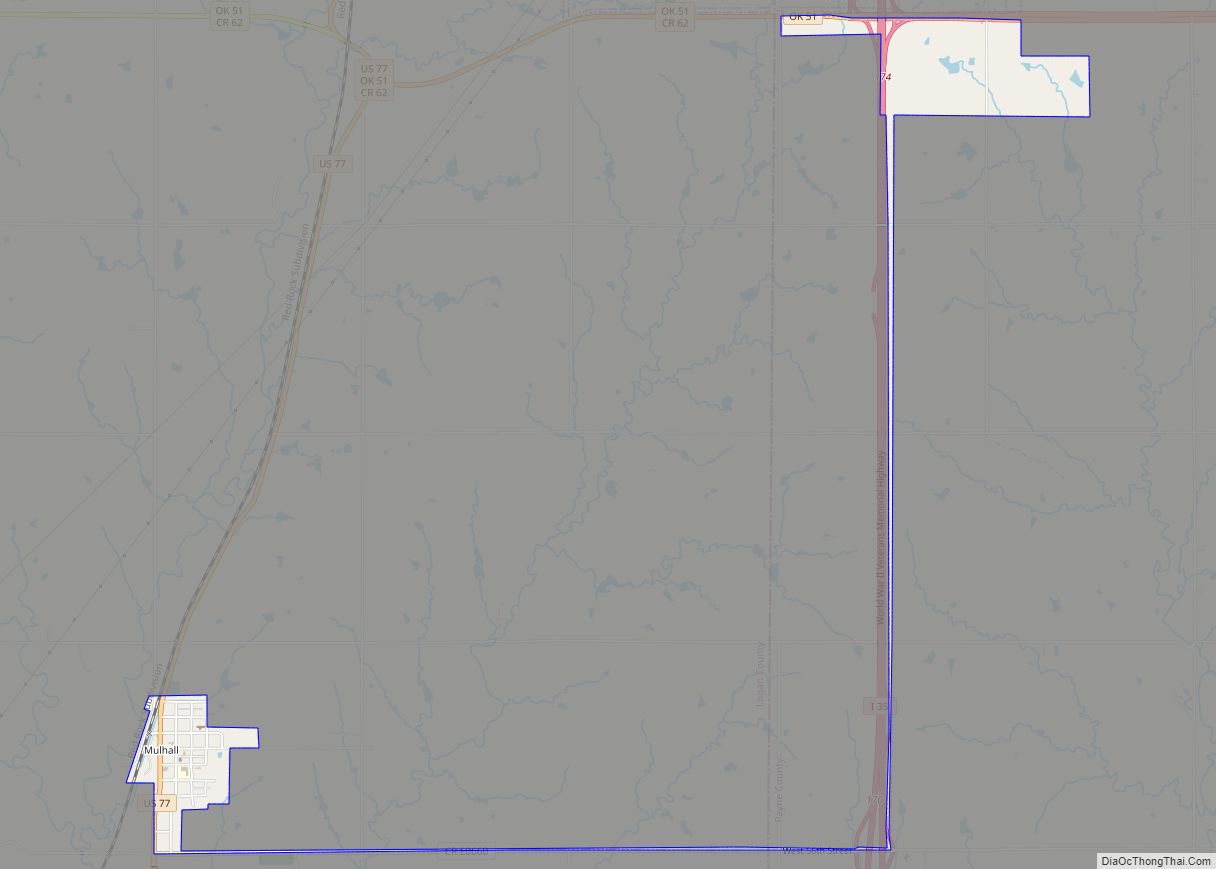
Online Interactive Map
Click on ![]() to view map in "full screen" mode.
to view map in "full screen" mode.
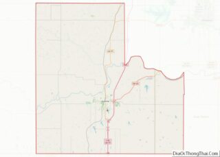
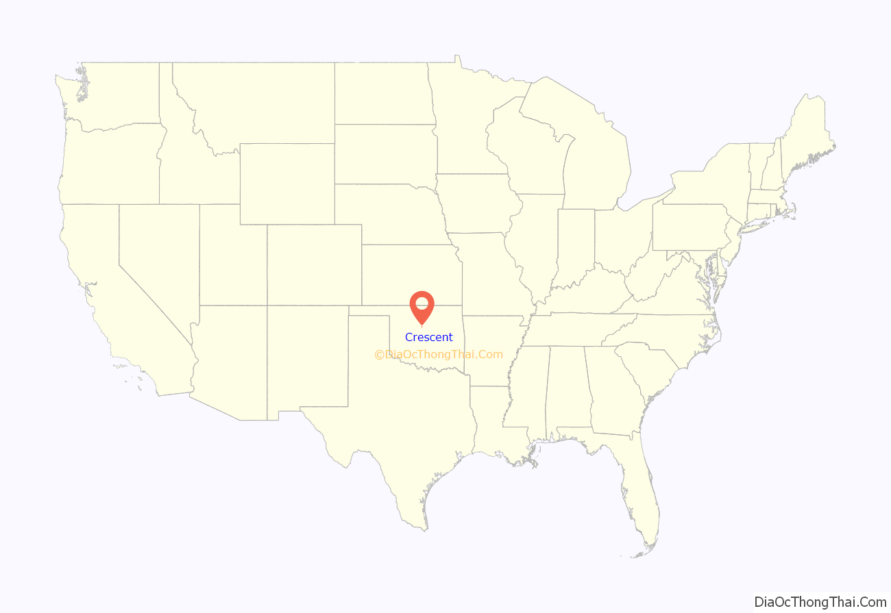
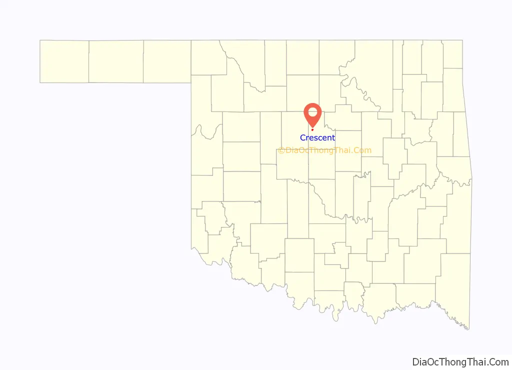
Crescent location map. Where is Crescent city?
History
Crescent was formed with the Indian Appropriations Act of 1889 on March 2, 1889, and officially started that fall when William Brown began selling general merchandise out of a wagon. Soon he took on a partner, Benjamin Ryland, and the two moved into a log cabin. A post office christened “Crescent City” was established on February 21, 1890, the name taken from a moon-shaped glade where the town began. In November 1891 the town site was platted, and incorporated in 1893. The Denver, Enid and Gulf Railroad laid track one mile (1.6 km) west of the city in 1902, and the city obtained 160 acres (0.65 km) of land from two farmers (C. E. Wells and J. H. Rhoades) creating “new Crescent” or “West Crescent”; eventually the town moved to the new location. Oil was discovered north of town in 1926 and then south of town in 1930 in the “Crescent Oil Field”.
On June 20, 1934 the Farmers and Merchants Bank was robbed by a group of men. The group took 13 hostages to help conceal the attempt and to help move the safe. They had the hostages load the safe into the back of a truck and drove the hostages and safe out of town. They ended up leaving both behind, hostages unhurt and safe unopened.
In 1965 the Cimarron Processing Facility was opened by Kerr-McGee (owned through a subsidiary, Kerr-McGee Nuclear Corp.) to convert powdered uranium hexafluoride and plutonium into fuel pellets for use in the nation’s nuclear power plants. The site became the center of highly controversial revelations within the petrochemical industry, when in the early 1970s, working conditions and manufacturing practices at the facility became dangerous. The 1983 Oscar-nominated film Silkwood, based around Karen Silkwood (who became contaminated) and her death (in 1974), is a movie about those revelations. In 1976 the facility ceased production. The United States Environmental Protection Agency (EPA) stated that the groundwater contamination (near where the company once buried radioactive waste) was rising near the plant and was 400 times higher than federal drinking-water standards allowed in 1989, while levels were 208 to 360 times higher than federal standards in 1985–87. Several cleanup and decommissioning projects have been attempted, with none completed as of 2011.
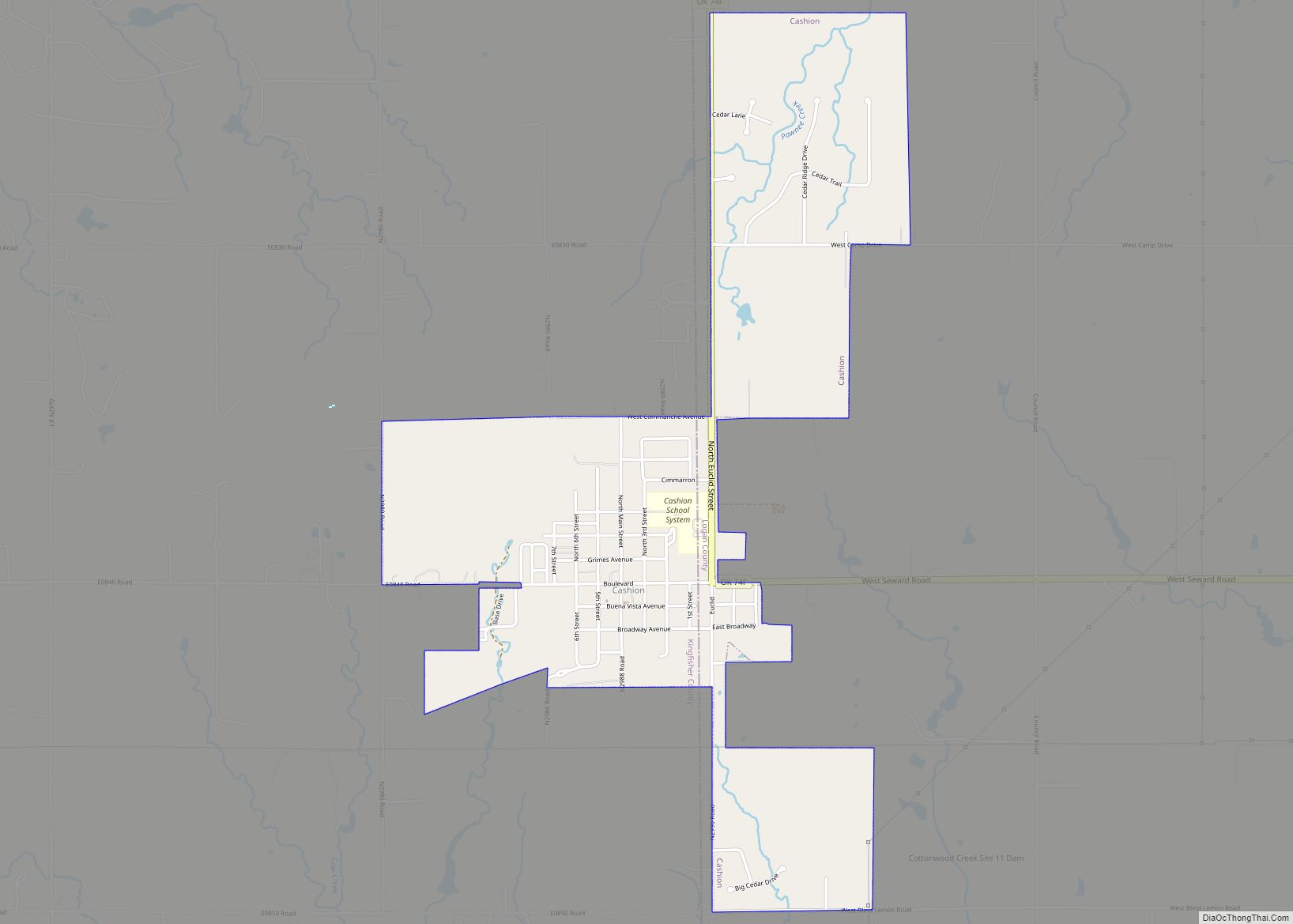
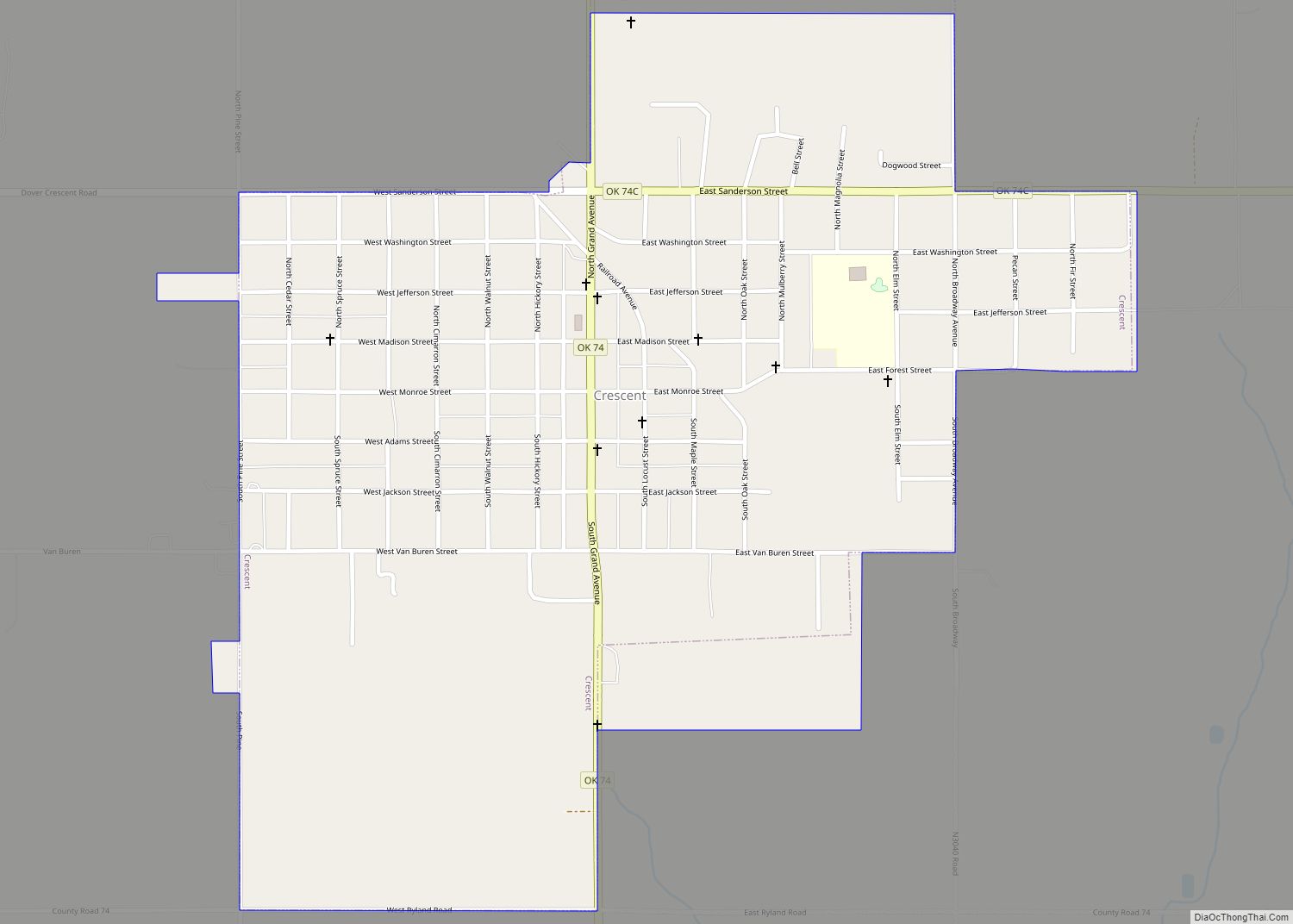
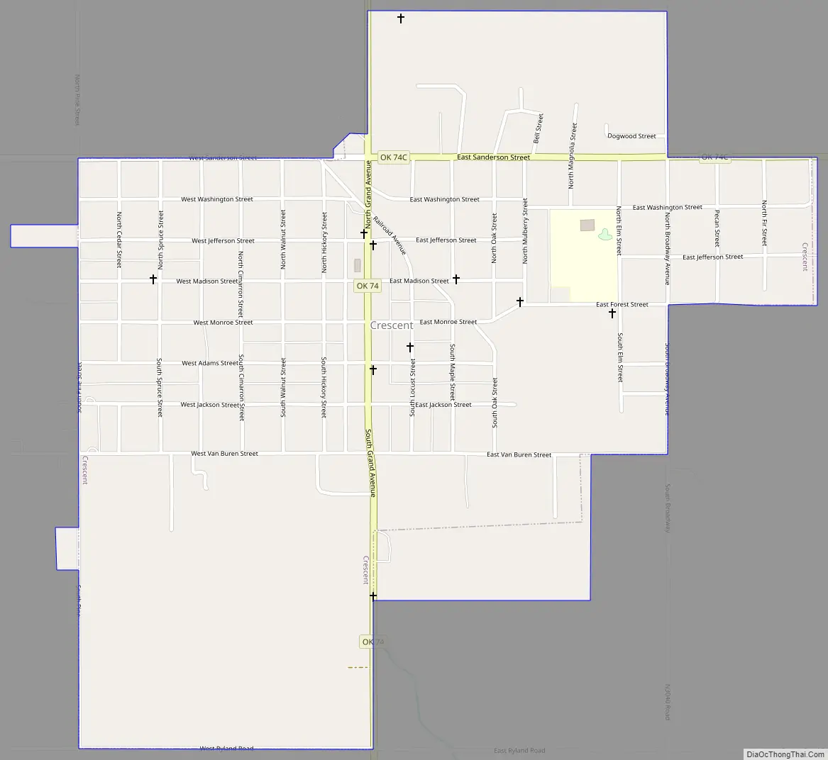
Crescent Road Map
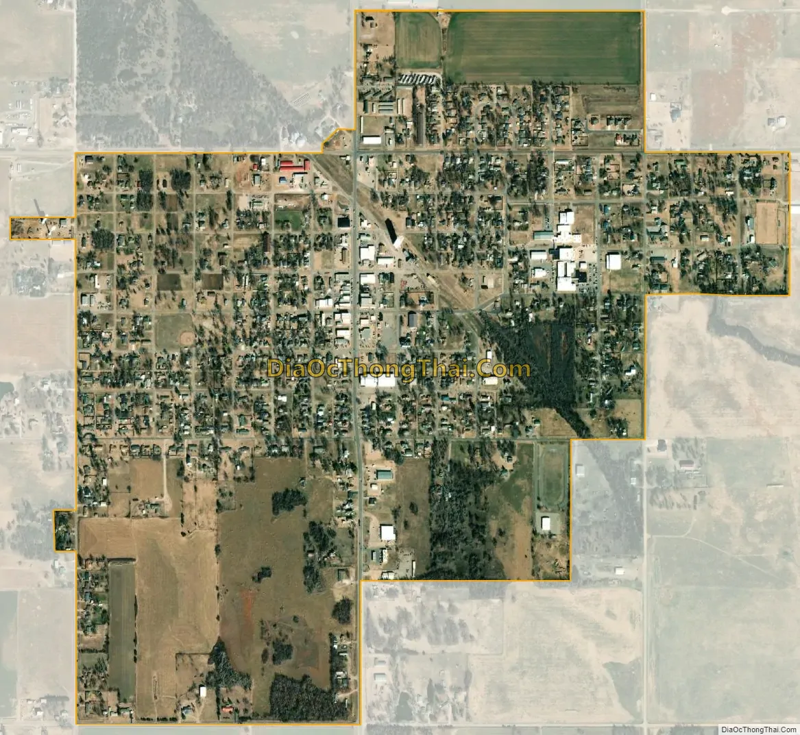
Crescent city Satellite Map
Geography
Crescent is located at 35°57′11″N 97°35′41″W / 35.95306°N 97.59472°W / 35.95306; -97.59472 (35.953137, −97.594593). Crescent is 14 miles (23 km) northwest of Guthrie, the county seat.
According to the United States Census Bureau, the city has a total area of 1.1 square miles (2.8 km), all land.
Climate
The Köppen-Geiger climate classification system classifies Crescent’s climate as humid subtropical (Cfa).
See also
Map of Oklahoma State and its subdivision:- Adair
- Alfalfa
- Atoka
- Beaver
- Beckham
- Blaine
- Bryan
- Caddo
- Canadian
- Carter
- Cherokee
- Choctaw
- Cimarron
- Cleveland
- Coal
- Comanche
- Cotton
- Craig
- Creek
- Custer
- Delaware
- Dewey
- Ellis
- Garfield
- Garvin
- Grady
- Grant
- Greer
- Harmon
- Harper
- Haskell
- Hughes
- Jackson
- Jefferson
- Johnston
- Kay
- Kingfisher
- Kiowa
- Latimer
- Le Flore
- Lincoln
- Logan
- Love
- Major
- Marshall
- Mayes
- McClain
- McCurtain
- McIntosh
- Murray
- Muskogee
- Noble
- Nowata
- Okfuskee
- Oklahoma
- Okmulgee
- Osage
- Ottawa
- Pawnee
- Payne
- Pittsburg
- Pontotoc
- Pottawatomie
- Pushmataha
- Roger Mills
- Rogers
- Seminole
- Sequoyah
- Stephens
- Texas
- Tillman
- Tulsa
- Wagoner
- Washington
- Washita
- Woods
- Woodward
- Alabama
- Alaska
- Arizona
- Arkansas
- California
- Colorado
- Connecticut
- Delaware
- District of Columbia
- Florida
- Georgia
- Hawaii
- Idaho
- Illinois
- Indiana
- Iowa
- Kansas
- Kentucky
- Louisiana
- Maine
- Maryland
- Massachusetts
- Michigan
- Minnesota
- Mississippi
- Missouri
- Montana
- Nebraska
- Nevada
- New Hampshire
- New Jersey
- New Mexico
- New York
- North Carolina
- North Dakota
- Ohio
- Oklahoma
- Oregon
- Pennsylvania
- Rhode Island
- South Carolina
- South Dakota
- Tennessee
- Texas
- Utah
- Vermont
- Virginia
- Washington
- West Virginia
- Wisconsin
- Wyoming