Cromwell is a town in Seminole County, Oklahoma, United States. It is within the jurisdiction of the Muscogee (Creek) Nation. The population was 286 at the 2010 census, an 8 percent increase from the figure of 265 recorded in 2000. It was named for oilman Joe I. Cromwell, who platted the original town in 1923. The population soared to several thousand people in a few weeks, and lawlessness was rampant in the community. Retired legendary Old West lawman Bill Tilghman was hired as Town Marshal to restore order. Tilghman was shot to death the following year, the most notable event in Cromwell’s history.
| Name: | Cromwell town |
|---|---|
| LSAD Code: | 43 |
| LSAD Description: | town (suffix) |
| State: | Oklahoma |
| County: | Seminole County |
| Elevation: | 961 ft (293 m) |
| Total Area: | 0.59 sq mi (1.53 km²) |
| Land Area: | 0.59 sq mi (1.53 km²) |
| Water Area: | 0.00 sq mi (0.00 km²) |
| Total Population: | 238 |
| Population Density: | 401.35/sq mi (155.08/km²) |
| ZIP code: | 74837 |
| Area code: | 405 |
| FIPS code: | 4018450 |
| GNISfeature ID: | 1091830 |
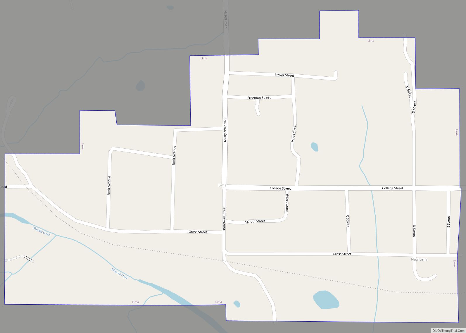
Online Interactive Map
Click on ![]() to view map in "full screen" mode.
to view map in "full screen" mode.
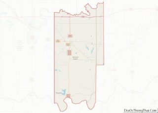
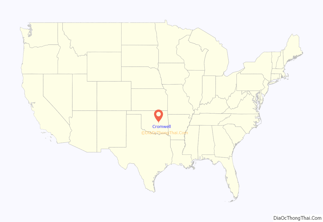
Cromwell location map. Where is Cromwell town?

History
Founded in 1923, and named for Muscogee oilman, Joe I. Cromwell, Cromwell had a post office on May 17, 1924.
Cromwell was a wild and wooly town in the early 1920s. The town was said to be full of saloons, brothels and outlaws. About 150 businesses operated in Cromwell during the 1920s, many selling moonshine alcohol and narcotics to residents of the surrounding area. However, about seventy of these were permanently closed during an enforcement drive. The illegal sales continued because a Federal Prohibition Unit agent named Wiley Lynn was connected to mobster Arnold Killian.
On Halloween night, 1924, Cromwell Town Marshal and legendary Old West lawman Bill Tilghman was shot outside of a cafe called “Ma Murphy’s”, by the corrupt prohibition agent Wiley Lynn. Tilghman died in the early morning hours of the first of November. Tilghman had been brought in to help bring the town under control. One month later the town of Cromwell was torched, with every brothel, bar, flop house and pool hall burned to the ground, allegedly by friends of Tilghman. There was no investigation into the massive fire, and Cromwell never recovered its former wild status, or size.
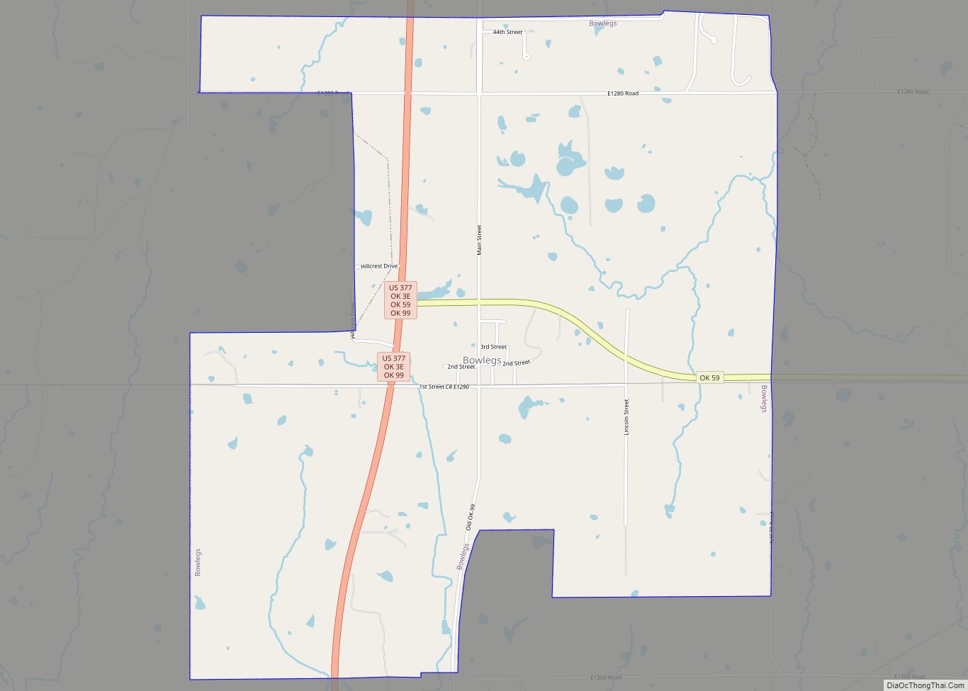
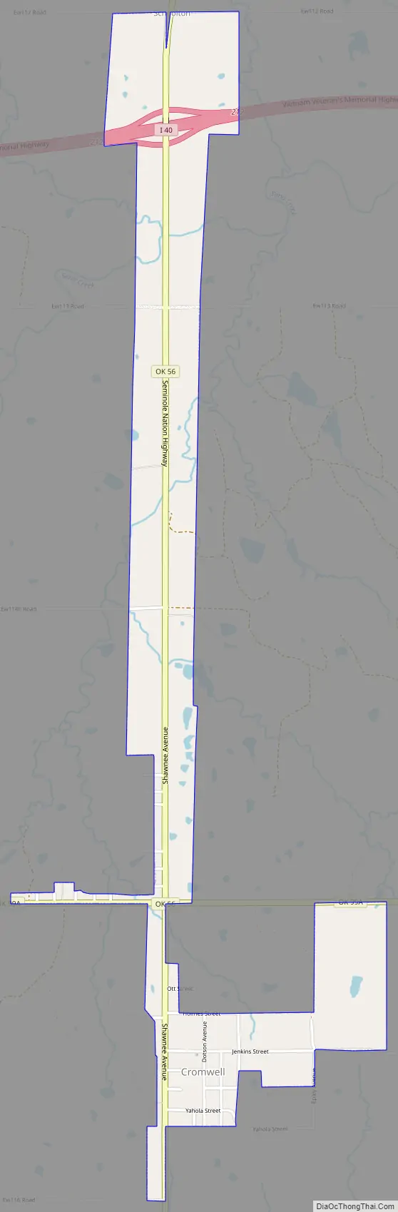
Cromwell Road Map
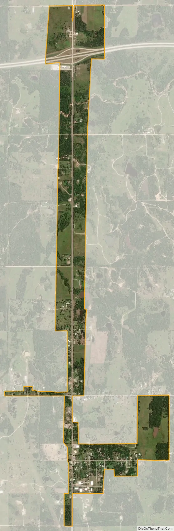
Cromwell city Satellite Map
Geography
Cromwell is located at 35°21′1″N 96°27′35″W / 35.35028°N 96.45972°W / 35.35028; -96.45972 (35.350195, -96.459700). According to the United States Census Bureau, the town has a total area of 1.1 square miles (2.8 km), all land.
See also
Map of Oklahoma State and its subdivision:- Adair
- Alfalfa
- Atoka
- Beaver
- Beckham
- Blaine
- Bryan
- Caddo
- Canadian
- Carter
- Cherokee
- Choctaw
- Cimarron
- Cleveland
- Coal
- Comanche
- Cotton
- Craig
- Creek
- Custer
- Delaware
- Dewey
- Ellis
- Garfield
- Garvin
- Grady
- Grant
- Greer
- Harmon
- Harper
- Haskell
- Hughes
- Jackson
- Jefferson
- Johnston
- Kay
- Kingfisher
- Kiowa
- Latimer
- Le Flore
- Lincoln
- Logan
- Love
- Major
- Marshall
- Mayes
- McClain
- McCurtain
- McIntosh
- Murray
- Muskogee
- Noble
- Nowata
- Okfuskee
- Oklahoma
- Okmulgee
- Osage
- Ottawa
- Pawnee
- Payne
- Pittsburg
- Pontotoc
- Pottawatomie
- Pushmataha
- Roger Mills
- Rogers
- Seminole
- Sequoyah
- Stephens
- Texas
- Tillman
- Tulsa
- Wagoner
- Washington
- Washita
- Woods
- Woodward
- Alabama
- Alaska
- Arizona
- Arkansas
- California
- Colorado
- Connecticut
- Delaware
- District of Columbia
- Florida
- Georgia
- Hawaii
- Idaho
- Illinois
- Indiana
- Iowa
- Kansas
- Kentucky
- Louisiana
- Maine
- Maryland
- Massachusetts
- Michigan
- Minnesota
- Mississippi
- Missouri
- Montana
- Nebraska
- Nevada
- New Hampshire
- New Jersey
- New Mexico
- New York
- North Carolina
- North Dakota
- Ohio
- Oklahoma
- Oregon
- Pennsylvania
- Rhode Island
- South Carolina
- South Dakota
- Tennessee
- Texas
- Utah
- Vermont
- Virginia
- Washington
- West Virginia
- Wisconsin
- Wyoming