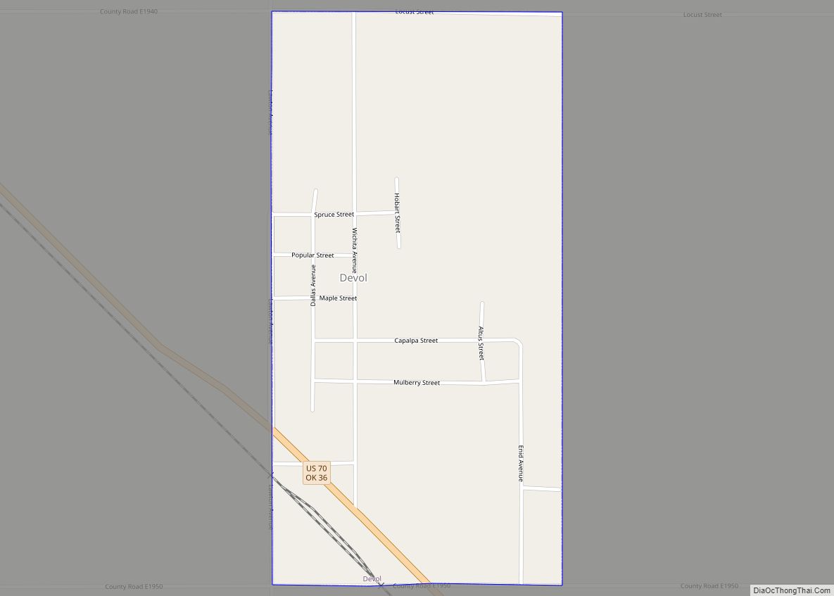
Devol is a town in Cotton County, Oklahoma, United States. The population was 151 at the 2010 census, an increase of 0.7 percent from 150 at the 2000 census. The town is named for J. Fiske Devol, who owned the land on which it stands.
| Name: | Devol town |
|---|---|
| LSAD Code: | 43 |
| LSAD Description: | town (suffix) |
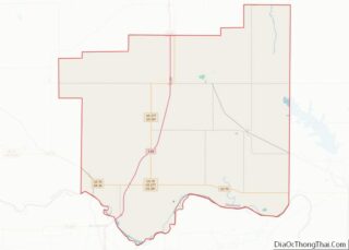
| State: | Oklahoma |
| County: | Cotton County |
| Elevation: | 1,073 ft (327 m) |
| Total Area: | 0.50 sq mi (1.29 km²) |
| Land Area: | 0.50 sq mi (1.29 km²) |
| Water Area: | 0.00 sq mi (0.00 km²) |
| Total Population: | 93 |
| Population Density: | 186.75/sq mi (72.18/km²) |
| ZIP code: | 73531 |
| Area code: | 580 |
| FIPS code: | 4020450 |
| GNISfeature ID: | 1092064 |
Online Interactive Map
Click on ![]() to view map in "full screen" mode.
to view map in "full screen" mode.
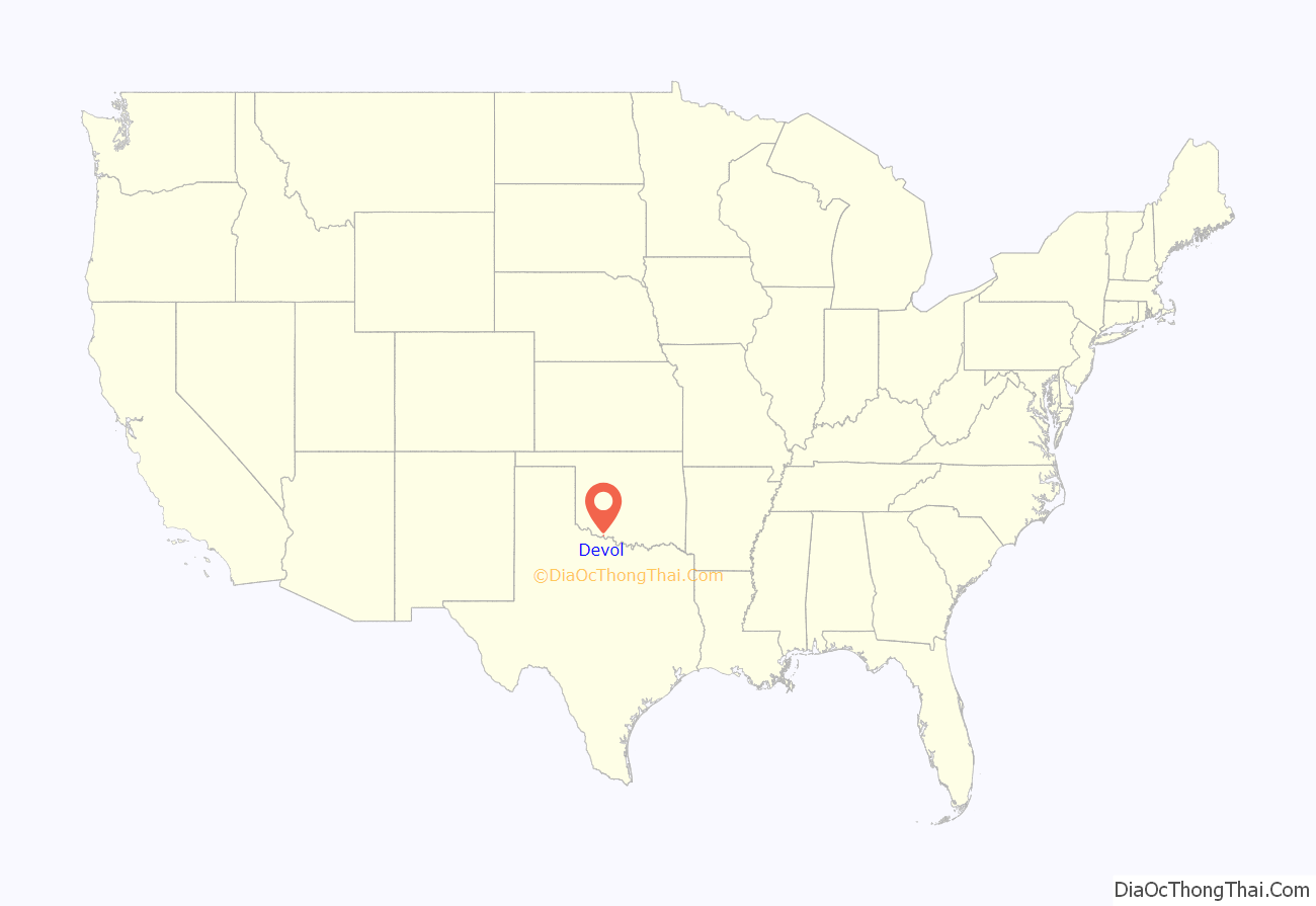
Devol location map. Where is Devol town?

History
The community of Devol began in 1907, when the Wichita Falls and Northwestern Railway laid tracks through the area. A post office was established there on November 30, 1907. The railroad became a subsidiary of the Missouri, Kansas and Texas Railroad (MK&T or Katy) in 1911. By that year, the town had about 400 residents.
Discovery of the nearby Burkburnett Oil Field in 1918 initiated a brief boom in Devol. At least two refineries were built in the area, along with several oil pipelines. The 1920 census showed the population was 1,936. The town had the first dynamo in the area used for power in one of the two dance halls. Devol is said to have had four churches, a lumber store, feed store, a hotel, two dance halls/bars, a brothel and hundreds of small structures to rent as a home during the growing Burk boom. However, the boom ended in 1922, and most of the people related to that business moved away. The town bank failed in 1927. In 1930, the population of Devol was only 328. The 1940 census showed 208 residents.
Legend has it that just before World War II, the oil refineries office was visited by the local Ku Klux Klan (KKK) in full dress whites. The KKK demanded the program manager fire all Catholics at the plant in support of the pending war. The manager was said to reply “That is a good idea! … one I had not thought of … give me the weekend to think it over and I will let you know on Monday.” On Monday morning, the group returned to find the refinery was closed and the gate had a pad lock on it. The manager had moved himself and his family out of town on the Saturday train. After this closure the population was said to have dropped by 100 within a month.
Devol continued to shrink after World War II. Only 152 residents remained in 1950. The high school closed in 1953, and in 1957, all grades were consolidated along with those of Randlett and Union Valley to form the Big Pasture School District in Randlett. In 1959 a tornado damaged most of Devol’s business district (all three on the main street) and the old high school building. The town’s population reached 117, the lowest recorded in its history. The MK&T abandoned its tracks in 1972, and in the 1980s the only remaining business was a tack shop that specialized in making race horse saddles. It closed in the 1990s.
Although there has been a slight rebound in population, no businesses are now in Devol and the post office had been threatened with closure in 1997 and 2002, but has weathered the storm for 10 years so far as of this posting.
Devol never had a police force except the KKK. They were the enforcers of Friday night assaults, robberies, and church attendances. Also the “Klan band” would play in the town center gazebo in the summer time. The local two-cell jail stands to this day.
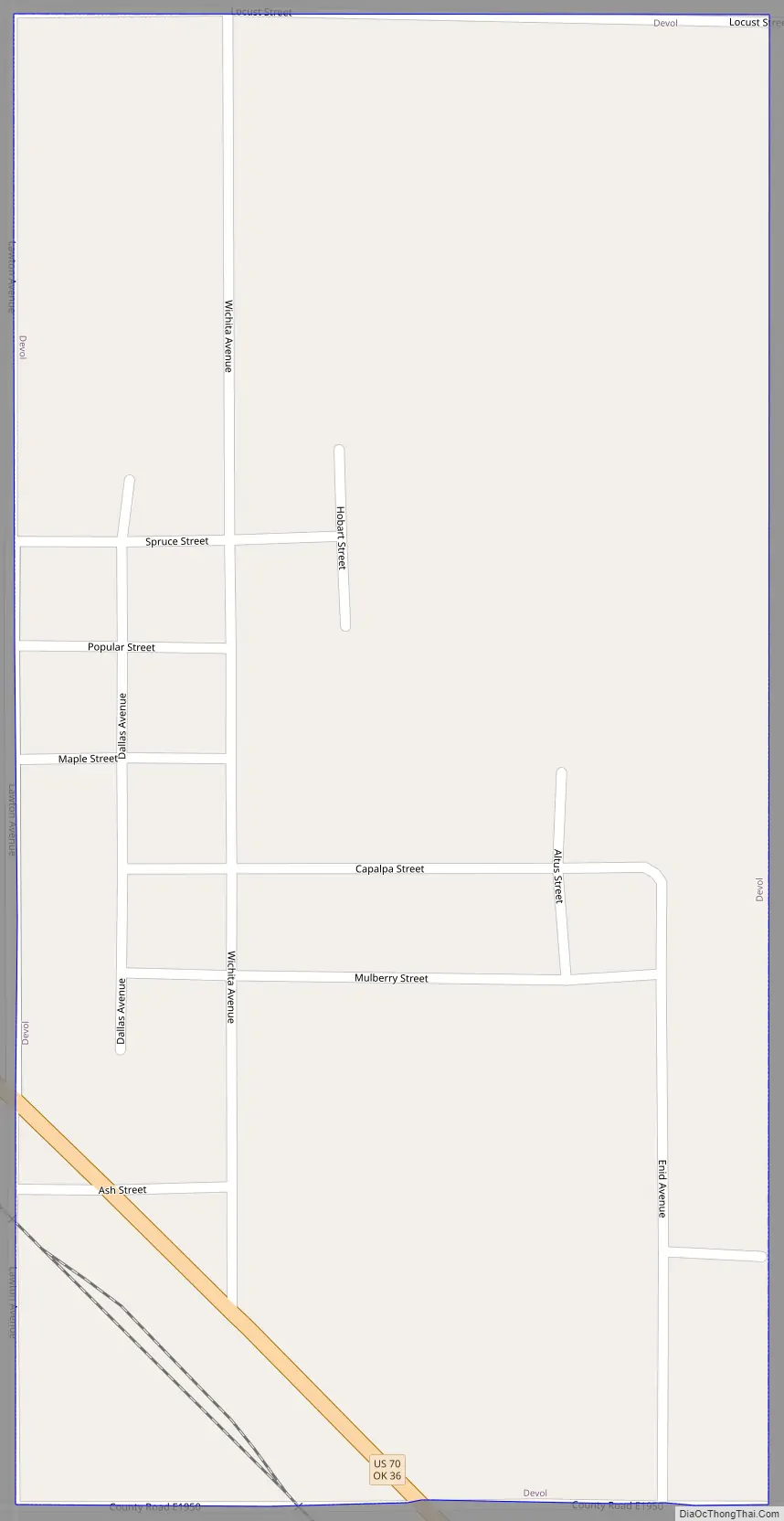
Devol Road Map
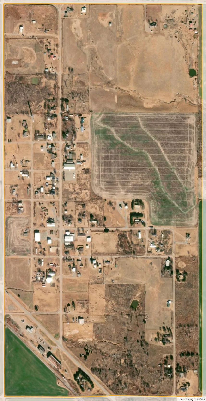
Devol city Satellite Map
Geography
Devol is located at 34°11′38″N 98°35′26″W / 34.19389°N 98.59056°W / 34.19389; -98.59056 (34.193755, -98.590533).
According to the United States Census Bureau, the town has a total area of 0.5 square miles (1.3 km), all land.
See also
Map of Oklahoma State and its subdivision:- Adair
- Alfalfa
- Atoka
- Beaver
- Beckham
- Blaine
- Bryan
- Caddo
- Canadian
- Carter
- Cherokee
- Choctaw
- Cimarron
- Cleveland
- Coal
- Comanche
- Cotton
- Craig
- Creek
- Custer
- Delaware
- Dewey
- Ellis
- Garfield
- Garvin
- Grady
- Grant
- Greer
- Harmon
- Harper
- Haskell
- Hughes
- Jackson
- Jefferson
- Johnston
- Kay
- Kingfisher
- Kiowa
- Latimer
- Le Flore
- Lincoln
- Logan
- Love
- Major
- Marshall
- Mayes
- McClain
- McCurtain
- McIntosh
- Murray
- Muskogee
- Noble
- Nowata
- Okfuskee
- Oklahoma
- Okmulgee
- Osage
- Ottawa
- Pawnee
- Payne
- Pittsburg
- Pontotoc
- Pottawatomie
- Pushmataha
- Roger Mills
- Rogers
- Seminole
- Sequoyah
- Stephens
- Texas
- Tillman
- Tulsa
- Wagoner
- Washington
- Washita
- Woods
- Woodward
- Alabama
- Alaska
- Arizona
- Arkansas
- California
- Colorado
- Connecticut
- Delaware
- District of Columbia
- Florida
- Georgia
- Hawaii
- Idaho
- Illinois
- Indiana
- Iowa
- Kansas
- Kentucky
- Louisiana
- Maine
- Maryland
- Massachusetts
- Michigan
- Minnesota
- Mississippi
- Missouri
- Montana
- Nebraska
- Nevada
- New Hampshire
- New Jersey
- New Mexico
- New York
- North Carolina
- North Dakota
- Ohio
- Oklahoma
- Oregon
- Pennsylvania
- Rhode Island
- South Carolina
- South Dakota
- Tennessee
- Texas
- Utah
- Vermont
- Virginia
- Washington
- West Virginia
- Wisconsin
- Wyoming