Walters is a town in Cotton County, Oklahoma, United States. The population was 2,551 at the 2010 census. The city, nestled between twin creeks, is the county seat of Cotton County. The city’s motto is “Small town; Big heart.”
| Name: | Walters city |
|---|---|
| LSAD Code: | 25 |
| LSAD Description: | city (suffix) |
| State: | Oklahoma |
| County: | Cotton County |
| Elevation: | 1,004 ft (306 m) |
| Total Area: | 8.33 sq mi (21.57 km²) |
| Land Area: | 8.07 sq mi (20.89 km²) |
| Water Area: | 0.26 sq mi (0.68 km²) |
| Total Population: | 2,412 |
| Population Density: | 299.00/sq mi (115.44/km²) |
| ZIP code: | 73572 |
| Area code: | 580 |
| FIPS code: | 4078150 |
| GNISfeature ID: | 1099338 |
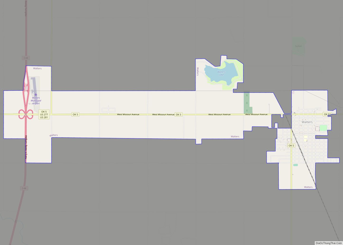
Online Interactive Map
Click on ![]() to view map in "full screen" mode.
to view map in "full screen" mode.
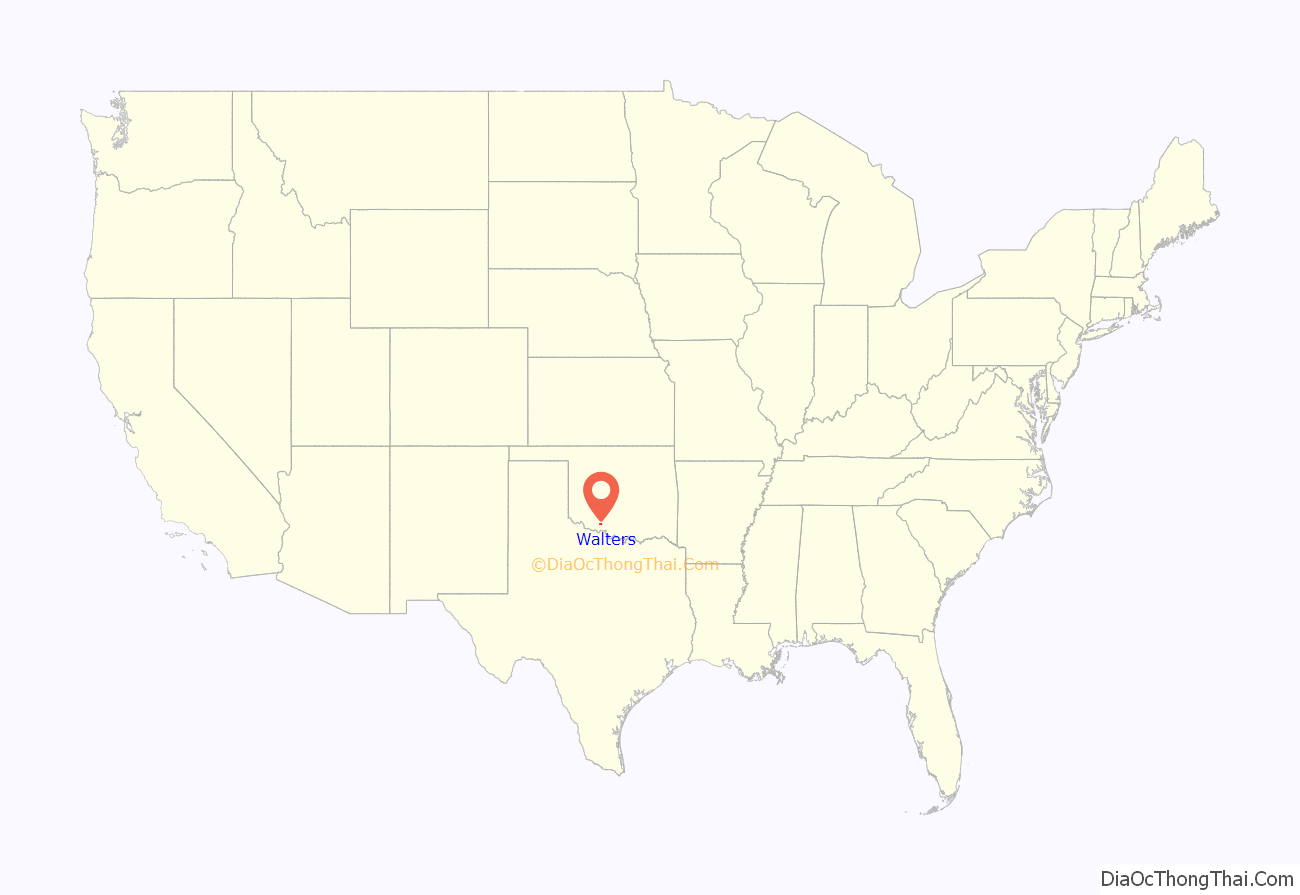
Walters location map. Where is Walters city?

History
The land that is present-day Oklahoma was first settled by prehistoric American Indians including the Clovis 11500 BCE, Folsom 10600 BCE and Plainview 10000 BCE cultures. Western explorers came to the region in the 16th century, with Spanish explorer Francisco Vásquez de Coronado visiting in 1541. Most of the region during this time was settled by the Wichita and Caddo peoples. Around the 1700s, two tribes from the North, the Comanches and Kiowas, migrated to the Oklahoma and Texas region.
For most of the 18th century, the Oklahoma region was under French control as part of Louisiana. In 1803, the Louisiana Purchase by Thomas Jefferson brought the area under United States control. In 1830, Congress passed the Indian Removal Act, which removed American Indian tribes and relocated them to Indian Territory. The southern part of the territory was originally assigned to the Choctaw and Chickasaw, until the 1867 Medicine Lodge Treaty allotted the southwest portion of the Choctaw and Chickasaw’s lands to the Comanche, Kiowa, and Apache.
The City of Walters was organized on August 6, 1901, under the original name of McKnight, Indian Territory. Application for a post office was made, and it was determined that a town in Harmon County had already taken the name of McKnight. This required that the name be changed. The name of Walters was chosen, in honor of W. R. Walters, but the “s” was not included on the post office application, so the post office was named Walter.
The city finally grew large enough to meet the requirements for a government patent, and one was granted in June 1904. On August 12, 1912, an election was held to form a new County (Cotton) from a portion of Comanche County. The election was successful and Cotton County became the last county formed in Oklahoma on August 28, 1912. Shortly thereafter, another election was held to determine whether Walters or Temple would become the county seat; on December 2, 1912, Walters won by 282 votes, officially becoming the seat of Cotton County. The names of Walter and Walters were used interchangeably and confusingly until June 1917, when an application was made to Congress to officially change the post office name to Walters.
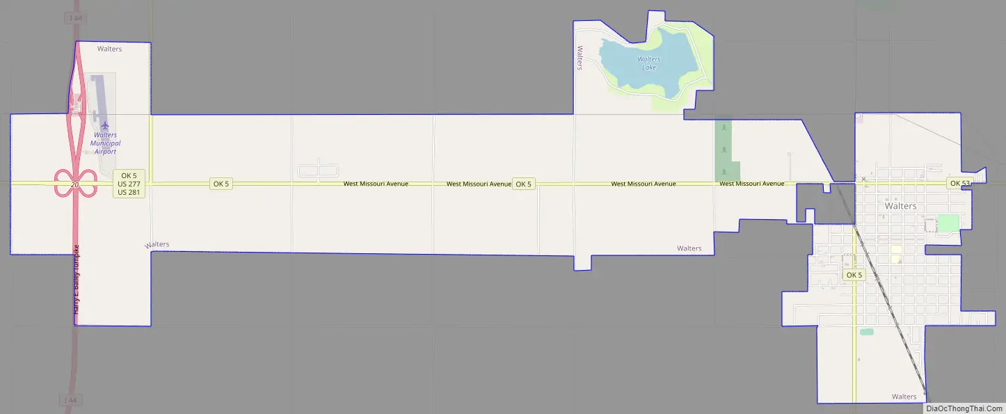
Walters Road Map
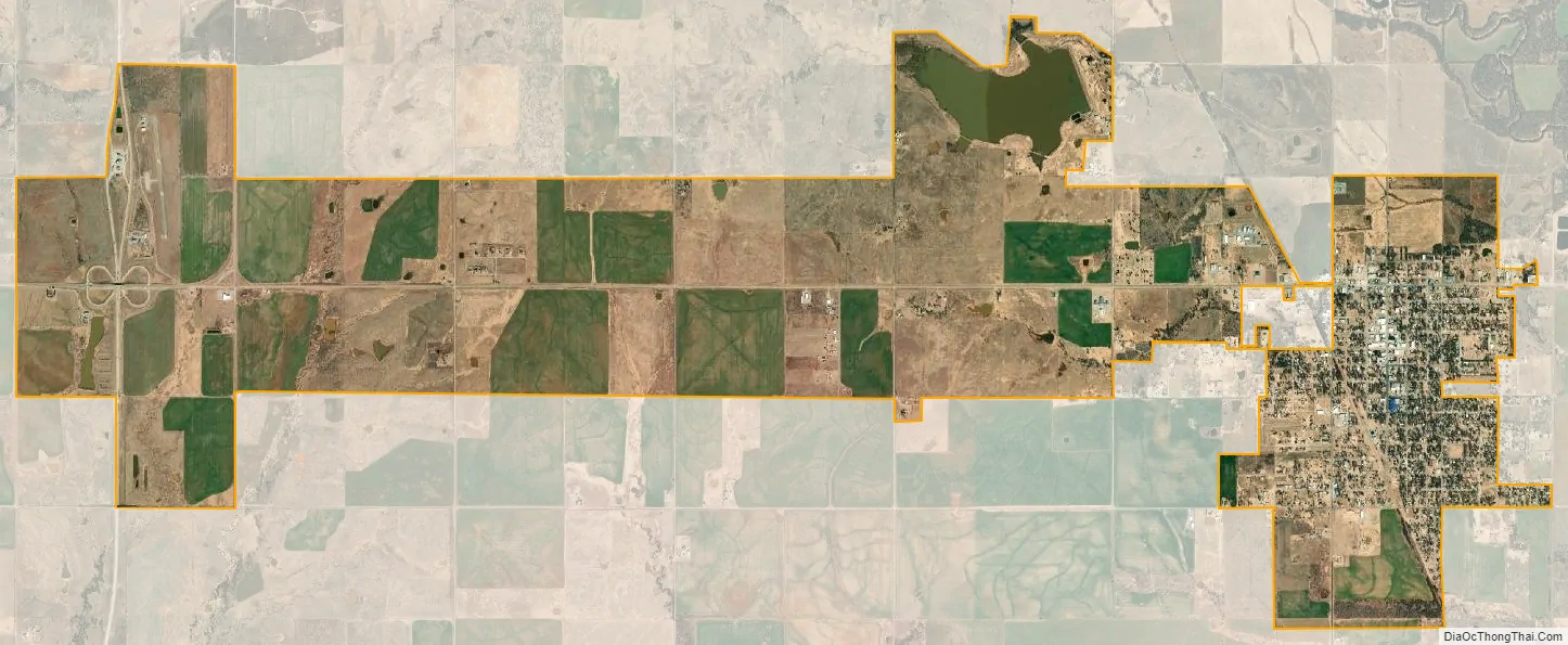
Walters city Satellite Map
Geography
The city is lies in the Taovayan Valley, the area between the Wichita Mountains and the Red River. Consisting of grassland, oak savannahs and rolling hills, the city lies within an ecotone on the western edge of the Cross Timbers, which are located to the east. Monsoon-like rains are common in the spring months, while periods of drought can occur throughout other parts of the year. The city is about 19 miles (31 km) south of Lawton, situated between two tributaries of the Red River, the East and West Cache Creeks. The bottom lands around the creeks are thickly surrounded by Burr oak, Escarpment live oak, Shumard oak, Pecan, Eastern Redbud, American Persimmon, and American Elm.
According to the United States Census Bureau, the city has a total area of 8.4 square miles (22 km), of which 8.1 square miles (21 km) is land and 0.2 square miles (0.52 km) (2.75%) water.
Walters is located at 34°21′23″N 98°18′57″W / 34.356353°N 98.315773°W / 34.356353; -98.315773. For tourism purposes, the Oklahoma Tourism and Recreation Department has designated Southwestern Oklahoma, including Cotton County, as Great Plains Country.
See also
Map of Oklahoma State and its subdivision:- Adair
- Alfalfa
- Atoka
- Beaver
- Beckham
- Blaine
- Bryan
- Caddo
- Canadian
- Carter
- Cherokee
- Choctaw
- Cimarron
- Cleveland
- Coal
- Comanche
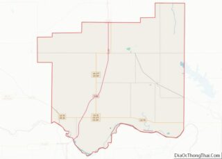
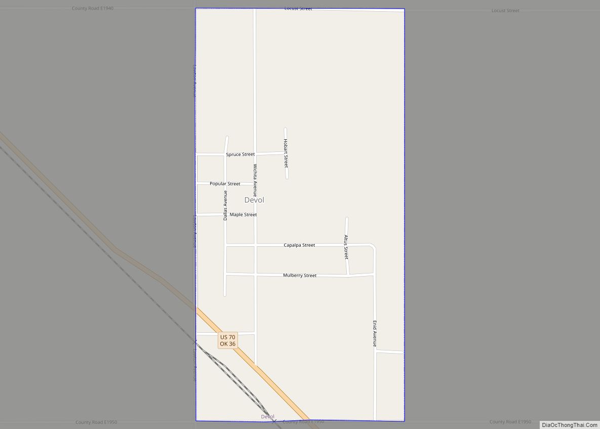
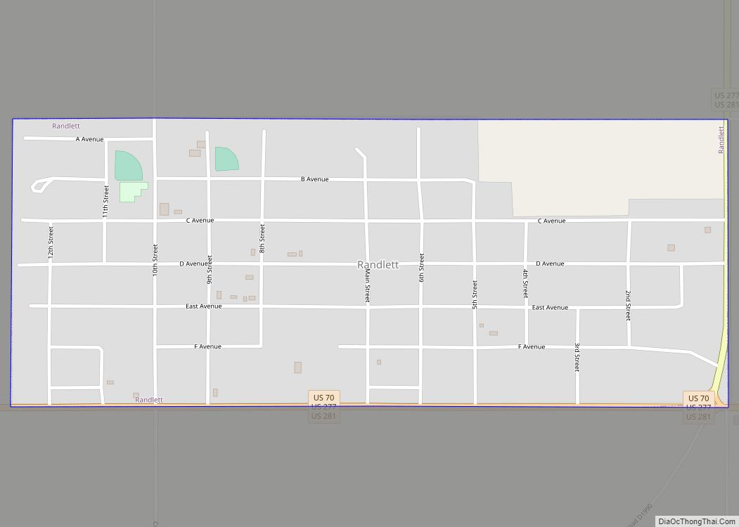
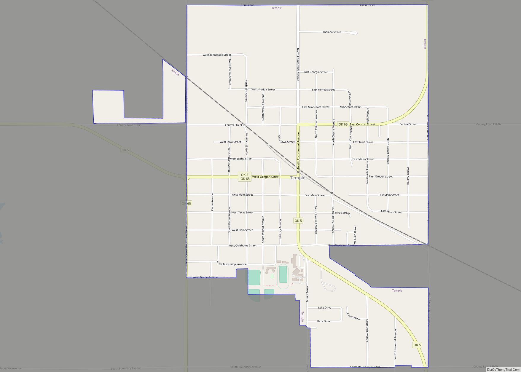
- Cotton
- Craig
- Creek
- Custer
- Delaware
- Dewey
- Ellis
- Garfield
- Garvin
- Grady
- Grant
- Greer
- Harmon
- Harper
- Haskell
- Hughes
- Jackson
- Jefferson
- Johnston
- Kay
- Kingfisher
- Kiowa
- Latimer
- Le Flore
- Lincoln
- Logan
- Love
- Major
- Marshall
- Mayes
- McClain
- McCurtain
- McIntosh
- Murray
- Muskogee
- Noble
- Nowata
- Okfuskee
- Oklahoma
- Okmulgee
- Osage
- Ottawa
- Pawnee
- Payne
- Pittsburg
- Pontotoc
- Pottawatomie
- Pushmataha
- Roger Mills
- Rogers
- Seminole
- Sequoyah
- Stephens
- Texas
- Tillman
- Tulsa
- Wagoner
- Washington
- Washita
- Woods
- Woodward
- Alabama
- Alaska
- Arizona
- Arkansas
- California
- Colorado
- Connecticut
- Delaware
- District of Columbia
- Florida
- Georgia
- Hawaii
- Idaho
- Illinois
- Indiana
- Iowa
- Kansas
- Kentucky
- Louisiana
- Maine
- Maryland
- Massachusetts
- Michigan
- Minnesota
- Mississippi
- Missouri
- Montana
- Nebraska
- Nevada
- New Hampshire
- New Jersey
- New Mexico
- New York
- North Carolina
- North Dakota
- Ohio
- Oklahoma
- Oregon
- Pennsylvania
- Rhode Island
- South Carolina
- South Dakota
- Tennessee
- Texas
- Utah
- Vermont
- Virginia
- Washington
- West Virginia
- Wisconsin
- Wyoming