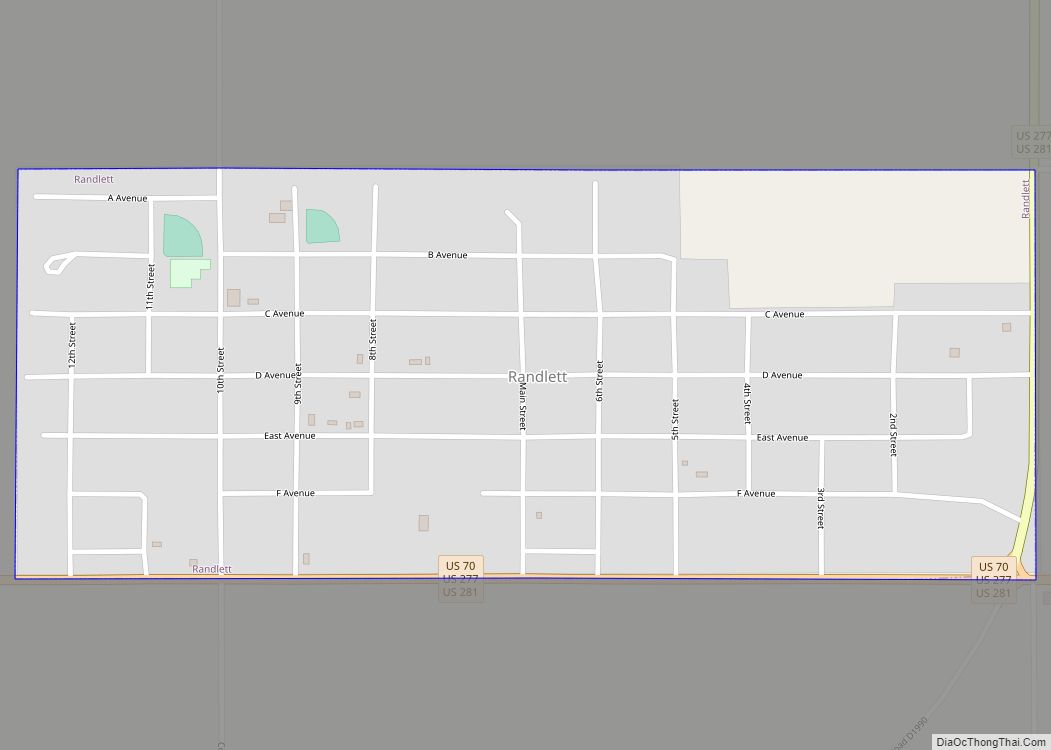
Randlett is a town in Cotton County, Oklahoma, United States. The population was 438 at the 2010 census, a decline of 14.3 percent from 511 in 2000.
| Name: | Randlett town |
|---|---|
| LSAD Code: | 43 |
| LSAD Description: | town (suffix) |
| State: | Oklahoma |
| County: | Cotton County |
| Elevation: | 1,040 ft (317 m) |
| Total Area: | 0.63 sq mi (1.63 km²) |
| Land Area: | 0.63 sq mi (1.63 km²) |
| Water Area: | 0.00 sq mi (0.00 km²) |
| Total Population: | 289 |
| Population Density: | 460.93/sq mi (177.84/km²) |
| ZIP code: | 73562 |
| Area code: | 580 |
| FIPS code: | 4061850 |
| GNISfeature ID: | 1097038 |
Online Interactive Map
Click on ![]() to view map in "full screen" mode.
to view map in "full screen" mode.
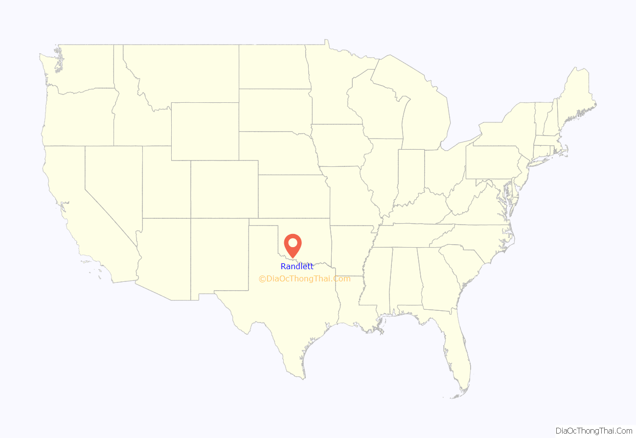
Randlett location map. Where is Randlett town?

History
The town of Randlett was named for James F. Randlett, an agent for the Comanche and Kiowa. It was platted in 1906, and the lots were sold at a public auction on May 13, 1907. By 1910, it had a population of 574. An attempt to attract a railroad failed, but Randlett still prospered as an agricultural center. A brief oil and gas drilling boom occurred in the 1910s and 20s.
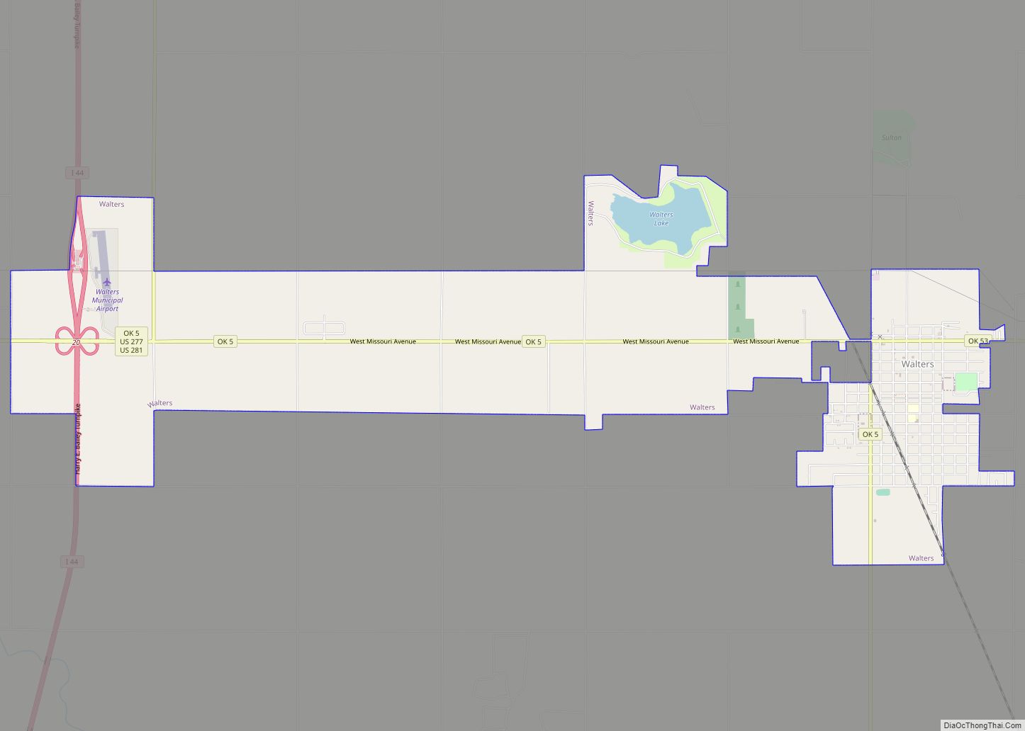
Randlett Road Map
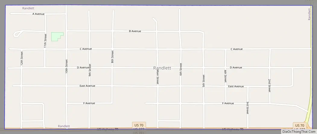
Randlett city Satellite Map

Geography
Randlett is located at 34°10′36″N 98°27′56″W / 34.17667°N 98.46556°W / 34.17667; -98.46556 (34.176736, -98.465474).
According to the United States Census Bureau, the town has a total area of 0.6 square miles (1.6 km), all land.
See also
Map of Oklahoma State and its subdivision:- Adair
- Alfalfa
- Atoka
- Beaver
- Beckham
- Blaine
- Bryan
- Caddo
- Canadian
- Carter
- Cherokee
- Choctaw
- Cimarron
- Cleveland
- Coal
- Comanche
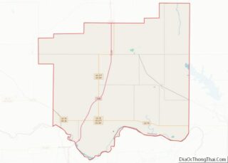
- Cotton
- Craig
- Creek
- Custer
- Delaware
- Dewey
- Ellis
- Garfield
- Garvin
- Grady
- Grant
- Greer
- Harmon
- Harper
- Haskell
- Hughes
- Jackson
- Jefferson
- Johnston
- Kay
- Kingfisher
- Kiowa
- Latimer
- Le Flore
- Lincoln
- Logan
- Love
- Major
- Marshall
- Mayes
- McClain
- McCurtain
- McIntosh
- Murray
- Muskogee
- Noble
- Nowata
- Okfuskee
- Oklahoma
- Okmulgee
- Osage
- Ottawa
- Pawnee
- Payne
- Pittsburg
- Pontotoc
- Pottawatomie
- Pushmataha
- Roger Mills
- Rogers
- Seminole
- Sequoyah
- Stephens
- Texas
- Tillman
- Tulsa
- Wagoner
- Washington
- Washita
- Woods
- Woodward
- Alabama
- Alaska
- Arizona
- Arkansas
- California
- Colorado
- Connecticut
- Delaware
- District of Columbia
- Florida
- Georgia
- Hawaii
- Idaho
- Illinois
- Indiana
- Iowa
- Kansas
- Kentucky
- Louisiana
- Maine
- Maryland
- Massachusetts
- Michigan
- Minnesota
- Mississippi
- Missouri
- Montana
- Nebraska
- Nevada
- New Hampshire
- New Jersey
- New Mexico
- New York
- North Carolina
- North Dakota
- Ohio
- Oklahoma
- Oregon
- Pennsylvania
- Rhode Island
- South Carolina
- South Dakota
- Tennessee
- Texas
- Utah
- Vermont
- Virginia
- Washington
- West Virginia
- Wisconsin
- Wyoming